Coldharbour Hill
Hill, Mountain in Bedfordshire
England
Coldharbour Hill
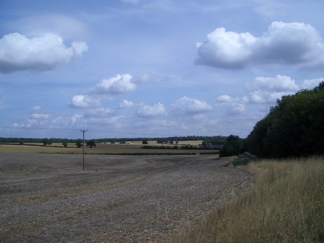
Coldharbour Hill is a prominent hill located in the county of Bedfordshire, England. It is part of the Chiltern Hills, a range that stretches across several counties in the southeast of England. Standing at an elevation of approximately 250 meters (820 feet), it offers breathtaking views of the surrounding countryside.
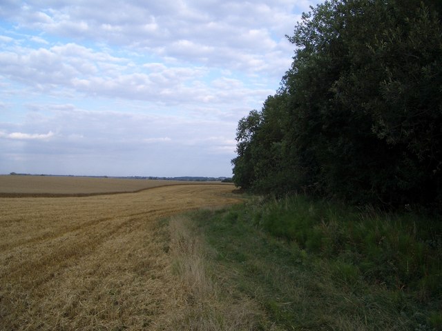
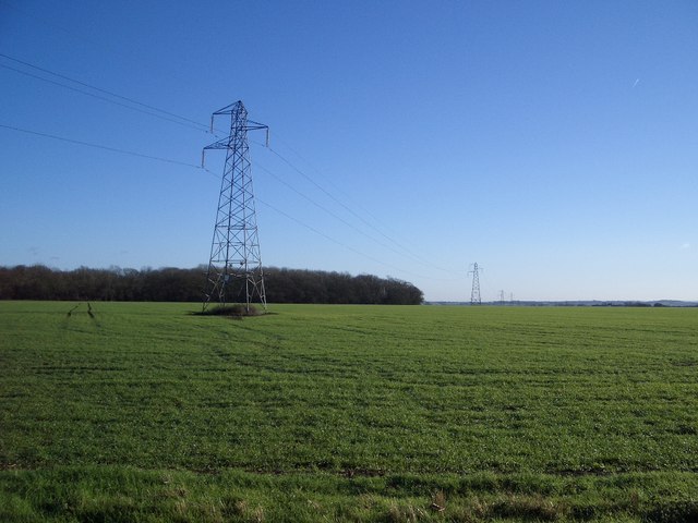
The hill is characterized by its gently sloping sides, covered in a patchwork of vibrant green fields, woodlands, and hedgerows. It is predominantly composed of chalk, a characteristic feature of the Chiltern Hills, which gives the landscape a distinctive white appearance.
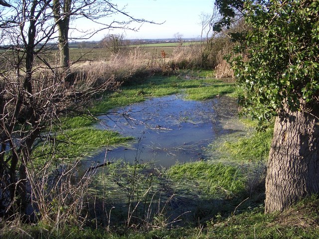
Coldharbour Hill is a popular destination for outdoor enthusiasts, hikers, and nature lovers. Numerous walking paths and trails crisscross the hill, allowing visitors to explore its diverse flora and fauna. The area is home to a variety of wildlife, including deer, rabbits, and a wide range of bird species.
At the summit of Coldharbour Hill, there is a viewpoint that offers panoramic views of the surrounding countryside, including the picturesque village of Toddington and the rolling hills of Bedfordshire. On clear days, it is possible to see as far as the city of Milton Keynes and even the distant silhouette of the London skyline.
Overall, Coldharbour Hill is a natural beauty spot that offers visitors a tranquil escape from the hustle and bustle of everyday life, providing stunning views and a chance to immerse oneself in the idyllic English countryside.
If you have any feedback on the listing, please let us know in the comments section below.
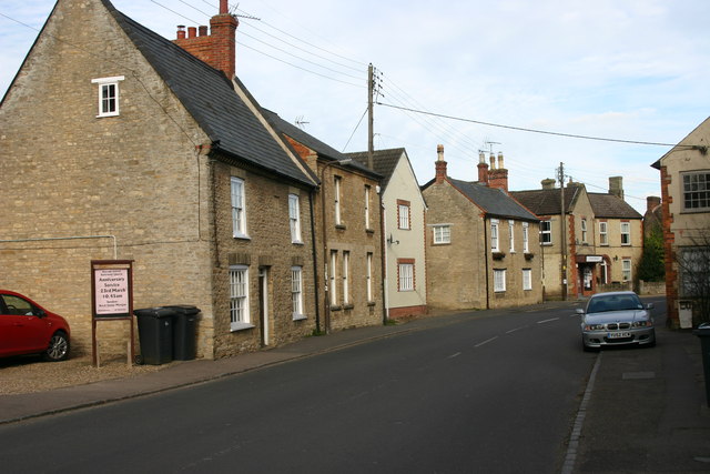
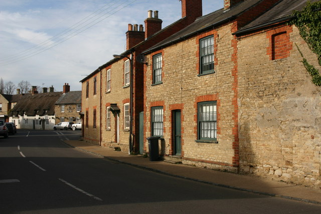
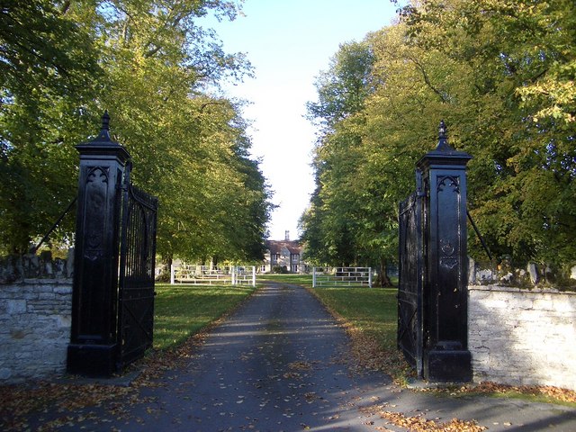
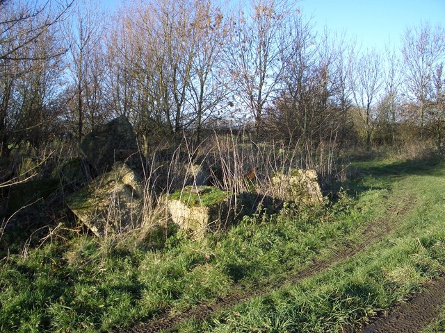
Coldharbour Hill Images
Images are sourced within 2km of 52.199192/-0.63968199 or Grid Reference SP9356. Thanks to Geograph Open Source API. All images are credited.


Coldharbour Hill is located at Grid Ref: SP9356 (Lat: 52.199192, Lng: -0.63968199)
Unitary Authority: Bedford
Police Authority: Bedfordshire
What 3 Words
///deep.centrally.quality. Near Harrold, Bedfordshire
Nearby Locations
Related Wikis
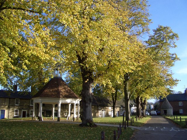
Harrold, Bedfordshire
Harrold is a village, civil parish and electoral ward in Bedfordshire, England, nine miles north-west of Bedford on the north bank of the River Great Ouse...
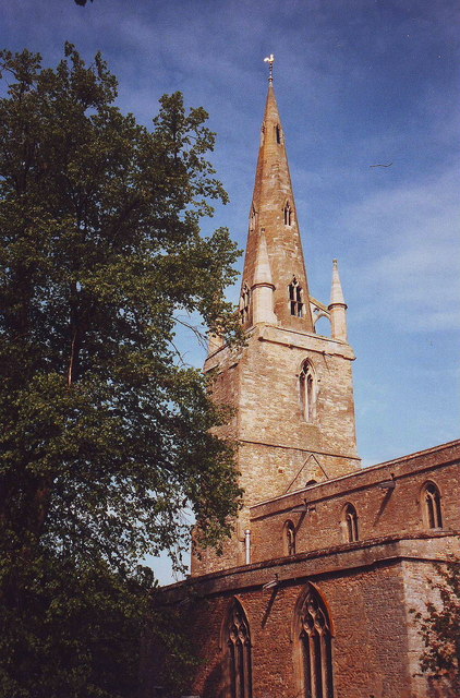
Church of St Peter, Harrold, Bedfordshire
Church of St Peter is a Grade I listed church in Harrold, Bedfordshire, England. == See also == Grade I listed buildings in Bedfordshire == References ==

Harrold Priory
Harrold Priory was a priory in Harrold, Bedfordshire, England. It was established in 1138 and disestablished in 1536. == History == The priory of Harrold...
Harrold Hall
Harrold Hall was a country house in Harrold, Bedfordshire, England. Dated to 1210, the house was demolished in 1961. == References ==
Related Videos
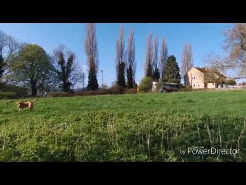
Walking the dog
Bebop in Harrold.
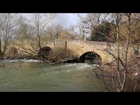
Harrold Bridge in Bedfordshire
This beautiful old bridge crosses the River Great Ouse in Bedfordshire, the bridge has been around for many centuries helping ...
Harrold Lock-up and Butter Market.
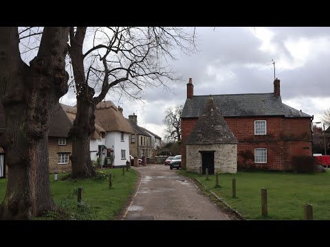
Wow, Harrold village in Bedfordshire is so beautiful. It has so much history and calm and the village green is prime example of this ...

Johns Paintball kill frenzy.
John goes all Rambo in this game of paintball while Dan and Kieron Bow out early. Dan walking into one of Johns paintball ...
Have you been to Coldharbour Hill?
Leave your review of Coldharbour Hill below (or comments, questions and feedback).