Beacon Hill

Hill, Mountain in Lincolnshire North Kesteven

England

Beacon Hill

Blackmoor Road near Aubourn Heading west towards Aubourn.
Blackmoor Road near Aubourn Credit: Stephen Richards

Beacon Hill is a prominent hill located in the county of Lincolnshire, England. Situated near the town of Grantham, it is part of the Lincolnshire Wolds, an Area of Outstanding Natural Beauty. Rising to a height of 168 meters (551 feet), Beacon Hill is the highest point in the county.

The hill gets its name from the beacon that once stood at its summit, used as a signal to warn of approaching enemies or to announce important news in ancient times. Today, the beacon no longer exists, but the hill remains a popular spot for outdoor enthusiasts and nature lovers.

The landscape of Beacon Hill is characterized by rolling hills, lush green fields, and picturesque woodlands. The area is home to a diverse range of flora and fauna, making it a haven for wildlife. Visitors can expect to find an array of bird species, including the endangered yellowhammer, as well as various mammals such as hares and rabbits.

For those seeking outdoor activities, Beacon Hill offers several walking trails and footpaths that provide stunning panoramic views of the surrounding countryside. The hill is also a popular destination for paragliding and hang gliding, with its strong winds and open spaces providing ideal conditions for these activities.

Additionally, there is a car park and picnic area at the base of the hill, making it a great place for families to enjoy a day out in nature. Overall, Beacon Hill in Lincolnshire is a beautiful natural landmark, offering both recreational opportunities and a chance to appreciate the region's stunning scenery.

If you have any feedback on the listing, please let us know in the comments section below.
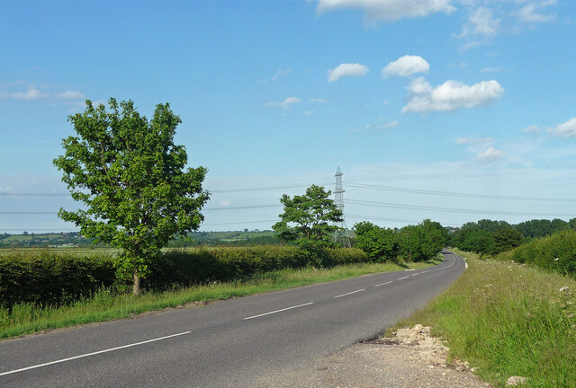
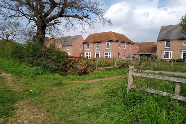
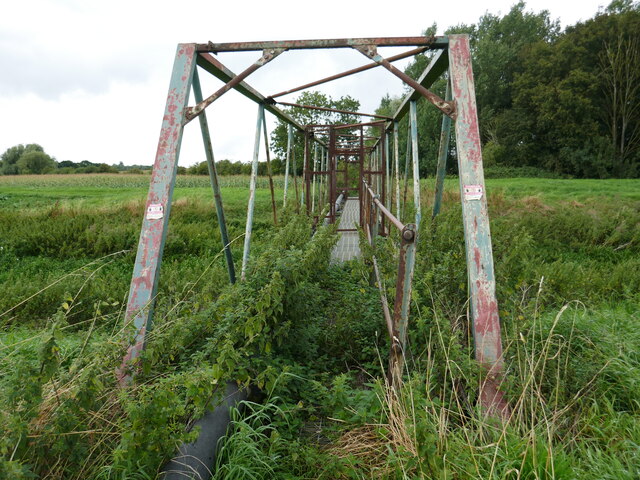
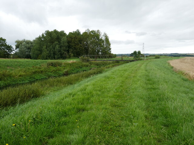
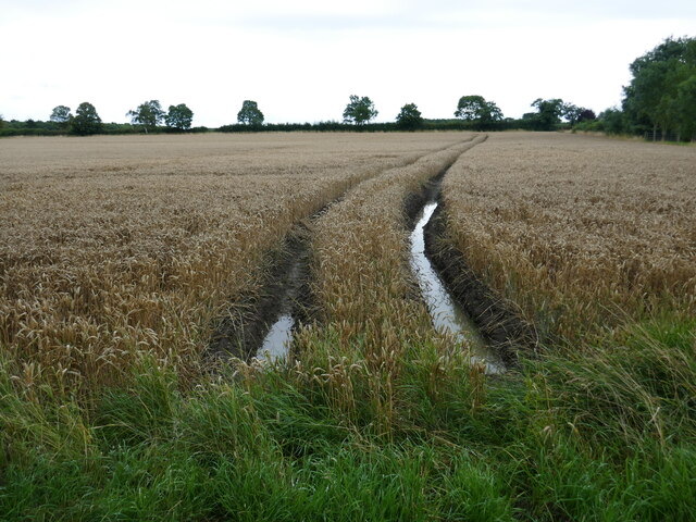
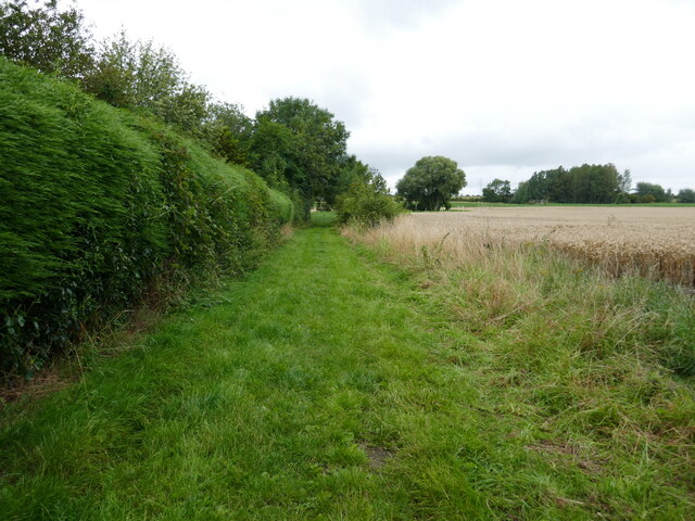
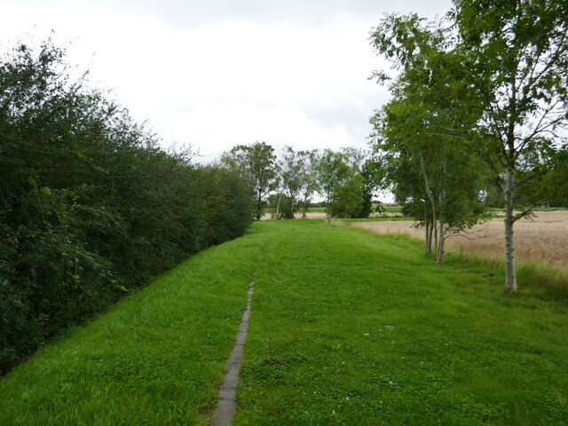
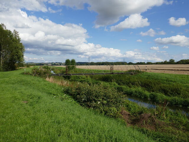
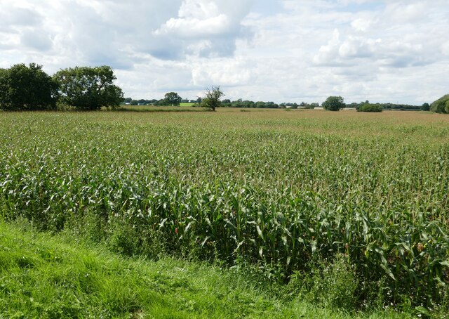
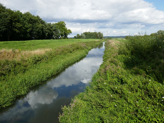
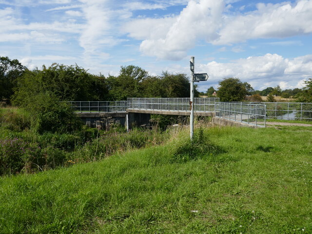
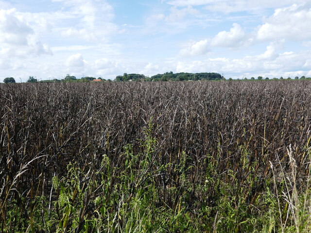
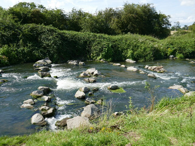
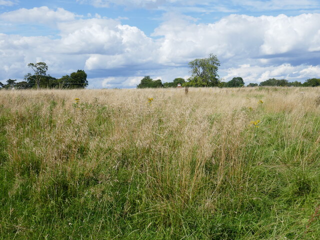
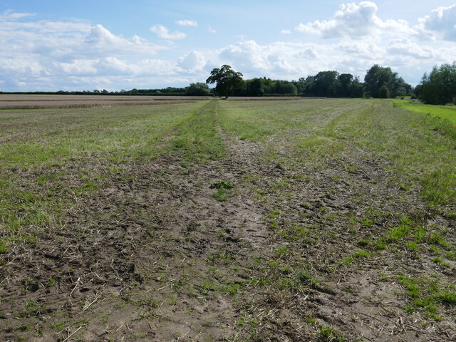
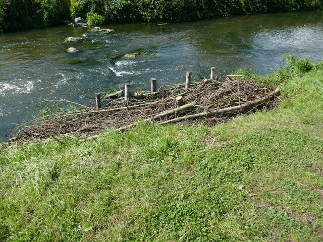
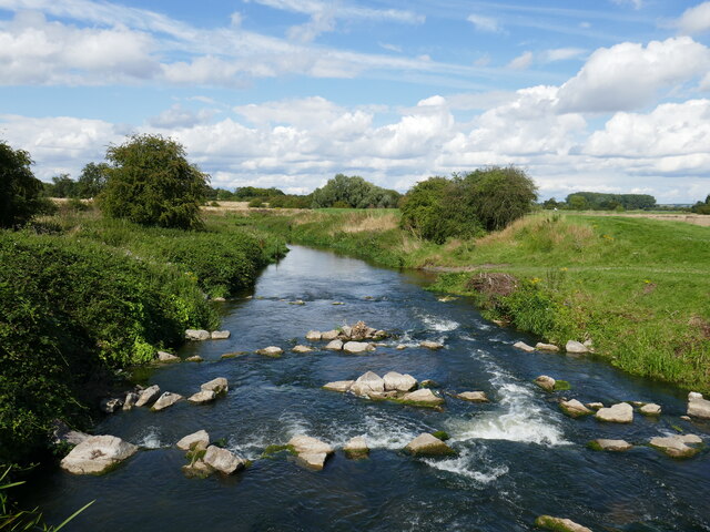
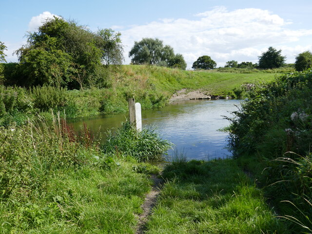
Beacon Hill Images

Images are sourced within 2km of 53.163802/-0.62194402 or Grid Reference SK9263. Thanks to Geograph Open Source API. All images are credited.

Blackmoor Road near Aubourn Heading west towards Aubourn.
Blackmoor Road near Aubourn
Heading west towards Aubourn.
Footpath near Caspian Court, North Hykeham Two public footpaths link over a small catchwater drain looking northwestwards towards Caspian Court, a road which lies on the southern edge of one of North Hykeham's more affluent housing estates.

This photograph was taken on a warm and still Saturday morning in late April.  Apart from the odd dog walker both paths were completely deserted, with many of the residents instead taking to the open green spaces on the estate. Left undisturbed, the twittering birds and buzzing insects easily drowned out the distant hum of traffic from Mill Lane to the southeast.

The unpaved route on the left continues for some 200 metres before terminating at a gated field. The paved path (right) stretches for more than a kilometre and provides a direct pedestrian link from Mill Lane to Newark Road, approximately 900 metres to the northwest.
Footpath near Caspian Court, North Hykeham
Two public footpaths link over a small catchwater drain looking northwestwards towards Caspian Court, a road which lies on the southern edge of one of North Hykeham's more affluent housing estates. This photograph was taken on a warm and still Saturday morning in late April. Apart from the odd dog walker both paths were completely deserted, with many of the residents instead taking to the open green spaces on the estate. Left undisturbed, the twittering birds and buzzing insects easily drowned out the distant hum of traffic from Mill Lane to the southeast. The unpaved route on the left continues for some 200 metres before terminating at a gated field. The paved path (right) stretches for more than a kilometre and provides a direct pedestrian link from Mill Lane to Newark Road, approximately 900 metres to the northwest.
Unsafe bridge Not for pedestrian use. A sign says there is an alternative route but gives no indication where it is.
Unsafe bridge
Not for pedestrian use. A sign says there is an alternative route but gives no indication where it is.
Bridleway alongside the River Witham The bridge over the river is closed. A sign gives notice of an alternative route but there is no indication where it goes.
Bridleway alongside the River Witham
The bridge over the river is closed. A sign gives notice of an alternative route but there is no indication where it goes.
Sodden field After a very wet July, August is not proving any drier. Harvest conditions are very poor.
Sodden field
After a very wet July, August is not proving any drier. Harvest conditions are very poor.
Bridleway at Aubourn In theory the bridleway goes to South Hykeham but as the bridge over the River Witham is closed (and has been for many years) it does not even reach the woodland seen on the right.
Bridleway at Aubourn
In theory the bridleway goes to South Hykeham but as the bridge over the River Witham is closed (and has been for many years) it does not even reach the woodland seen on the right.
Bridge over the River Witham The bridge has been deemed unsuitable for use by pedestrians for many years though it appears to carry a sewage pipe.
Bridge over the River Witham
The bridge has been deemed unsuitable for use by pedestrians for many years though it appears to carry a sewage pipe.
Field of maize near Aubourn
The River Witham near Aubourn Hall Looking downstream.
The River Witham near Aubourn Hall
Looking downstream.
Mill Lane Bridge Crosses the River Witham at the site of a former mill.
Mill Lane Bridge
Crosses the River Witham at the site of a former mill.
Bean field near Haddington High Walks Farm in the distance.
Bean field near Haddington
High Walks Farm in the distance.
Weir on the River Witham near Haddington
Hall Close, Haddington The site of two Manor Houses and later Hall and ancillary buildings <span class="nowrap"><a title="https://historicengland.org.uk/listing/the-list/list-entry/1021080?section=official-list-entry" rel="nofollow ugc noopener" href="https://historicengland.org.uk/listing/the-list/list-entry/1021080?section=official-list-entry">Link</a><img style="margin-left:2px;" alt="External link" title="External link - shift click to open in new window" src="https://s1.geograph.org.uk/img/external.png" width="10" height="10"/></span> The dovecote (just visible in the centre of the picture) has been restored.
Hall Close, Haddington
The site of two Manor Houses and later Hall and ancillary buildings LinkExternal link The dovecote (just visible in the centre of the picture) has been restored.
Footpath to Bassingham
Bank re-inforcement A fence of what looks like willow has been built along part of the river bank whoch is eroding. The gap behind has then been infilled with other material to strengthen it.
Bank re-inforcement
A fence of what looks like willow has been built along part of the river bank whoch is eroding. The gap behind has then been infilled with other material to strengthen it.
The River Witham below Mill Lane Bridge
Ford through the River Witham I didn't try to see if this is usable.
Ford through the River Witham
I didn't try to see if this is usable.
Show me another place!

Beacon Hill is located at Grid Ref: SK9263 (Lat: 53.163802, Lng: -0.62194402)

Administrative County: Lincolnshire

District: North Kesteven

Police Authority: Lincolnshire

What 3 Words

///inhabited.budding.outer. Near Bassingham, Lincolnshire

Nearby Locations

Beacon Hill

Related Wikis

Aubourn Haddington and South Hykeham

Aubourn Haddington and South Hykeham was a former civil parish in the North Kesteven district of Lincolnshire, England. According to the 2001 census it...

Haddington, Lincolnshire

Haddington is a hamlet in the civil parish of Aubourn with Haddington, in the North Kesteven district of Lincolnshire, England. It is situated just off...

Aubourn with Haddington

Aubourn with Haddington or Aubourn and Haddington is a civil parish in the North Kesteven district of Lincolnshire, England. The population of the civil...

Aubourn

Aubourn ("Stream where the Alders grow") is a small village in the civil parish of Aubourn with Haddington, in the North Kesteven district, in the county...

Nearby Amenities

Located within 500m of 53.163802,-0.62194402
Beacon Hill
Ele: 20
Place: locality
Source: Bing
Lat/Long: 53.1638321/-0.6224544
Hillside Farm
Alt Name: Glebe Farm
Place: farm
Source: Bing
Lat/Long: 53.1621679/-0.6242686
The data included in this document is from www.openstreetmap.org. The data is made available under ODbL.

Have you been to Beacon Hill?

Leave your review of Beacon Hill below (or comments, questions and feedback).