Brown Hill
Hill, Mountain in Yorkshire Scarborough
England
Brown Hill

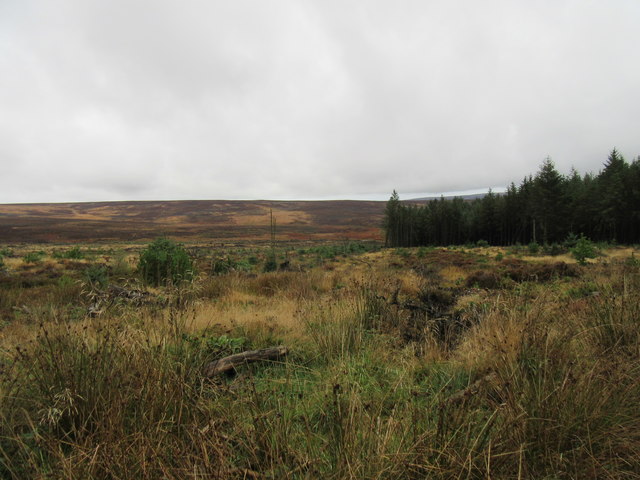
Brown Hill is a prominent hill located in the county of Yorkshire, England. Situated in the southern part of the county, it forms part of the stunning landscape of the Yorkshire Dales National Park. Rising to an elevation of approximately 476 meters (1,562 feet), Brown Hill is a popular destination for hikers, outdoor enthusiasts, and nature lovers.
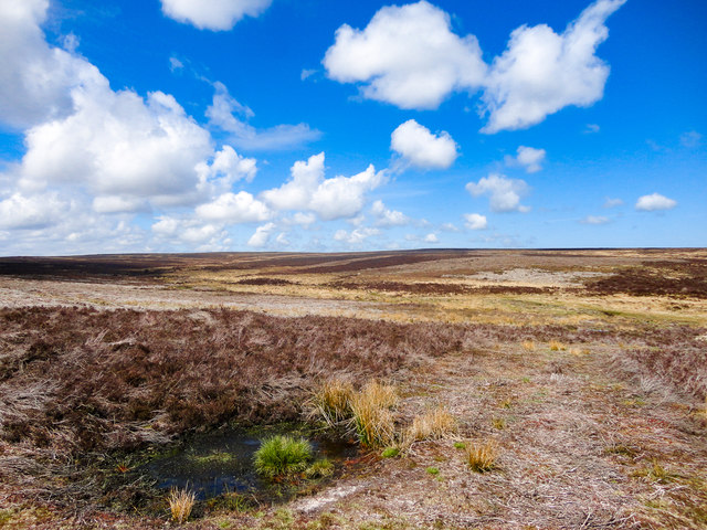
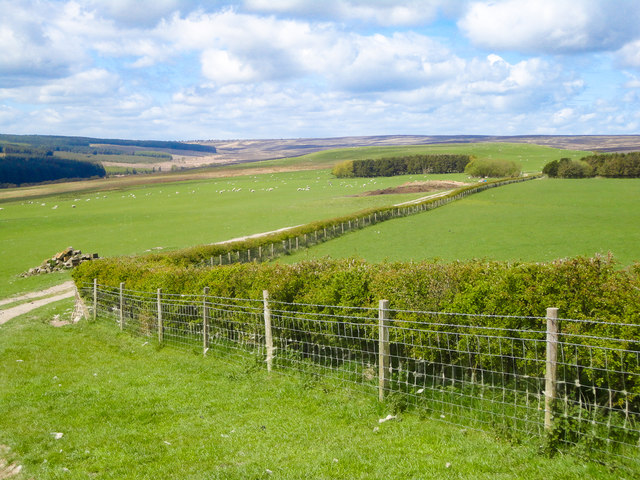
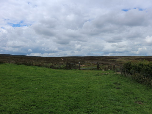
The hill is characterized by its distinctive brown color, which is a result of the presence of iron oxide in the soil. Its summit offers breathtaking panoramic views of the surrounding countryside, including rolling hills, picturesque valleys, and quaint villages. On clear days, it is even possible to see as far as the distant peaks of the Yorkshire Moors.
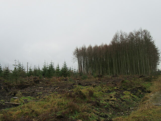
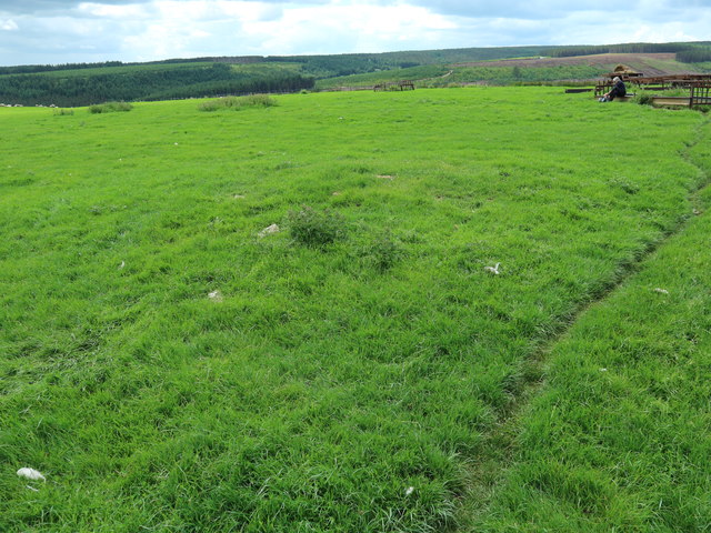
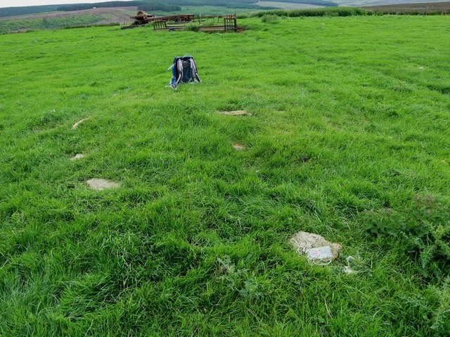
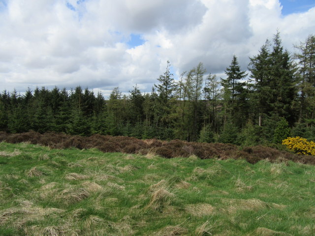
Covered in heather, grasses, and scattered wildflowers, Brown Hill is a haven for various species of wildlife. Visitors may spot birds such as kestrels, buzzards, and curlews soaring above, while rabbits and hares can be seen darting through the undergrowth. The hill is also home to a diverse range of plant life, including bilberry, heather, and bracken.
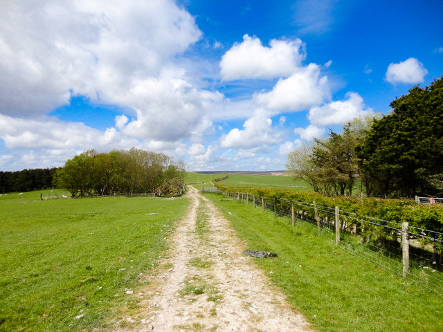
Hiking trails crisscross the hill, providing opportunities for both leisurely walks and more challenging treks. The paths are well-maintained, ensuring that visitors can explore the hill safely and easily. Additionally, Brown Hill has a rich history, with ancient burial mounds and stone circles scattered across its slopes, offering glimpses into the area's past.
Overall, Brown Hill in Yorkshire is a captivating natural landmark, offering visitors a chance to immerse themselves in the beauty of the Yorkshire Dales while enjoying a range of outdoor activities.
If you have any feedback on the listing, please let us know in the comments section below.
Brown Hill Images
Images are sourced within 2km of 54.368402/-0.58492711 or Grid Reference SE9297. Thanks to Geograph Open Source API. All images are credited.


Brown Hill is located at Grid Ref: SE9297 (Lat: 54.368402, Lng: -0.58492711)
Division: North Riding
Administrative County: North Yorkshire
District: Scarborough
Police Authority: North Yorkshire
What 3 Words
///smiling.tricycle.pothole. Near Burniston, North Yorkshire
Nearby Locations
Related Wikis
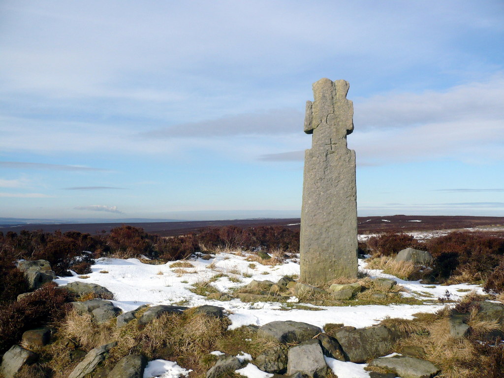
Lilla Cross
Lilla Cross is a marker on Lilla's Howe, Fylingdales Moor, in North Yorkshire, England. A story relates how King Edwin of Northumbria placed the cross...

Langdale Forest
Langdale Forest is an area of primarily coniferous woodland at the southern end of the North York Moors National Park, in North Yorkshire, England. The...

Harwood Dale
Harwood Dale is a village and civil parish in the Scarborough district of North Yorkshire, England. It lies within the North York Moors National Park...

Fyling Hall railway station
Fyling Hall railway station was a railway station on the Scarborough & Whitby Railway. It opened on 16 July 1885, and was named after Fyling Hall, near...
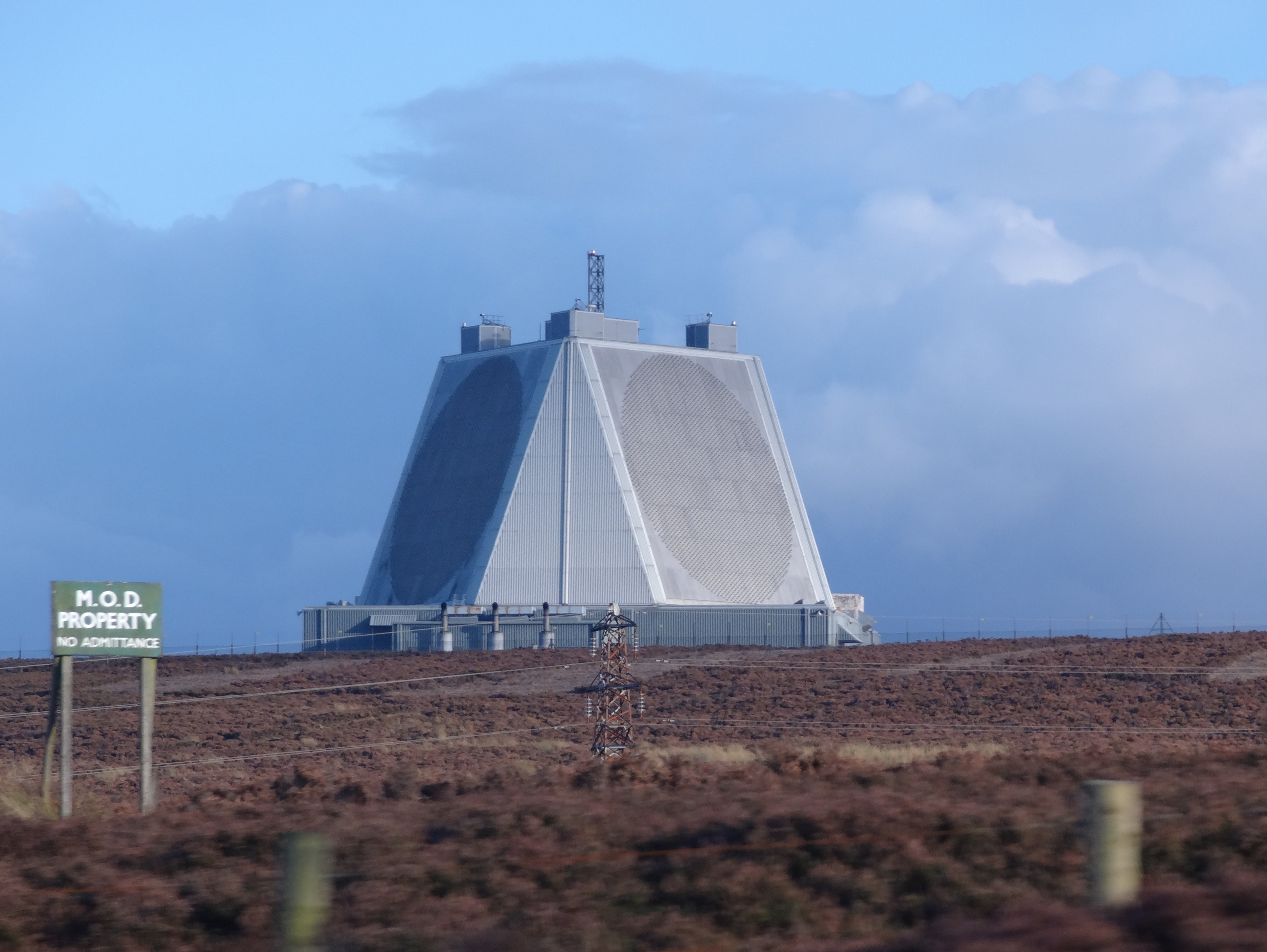
RAF Fylingdales
Royal Air Force Fylingdales or more simply RAF Fylingdales is a Royal Air Force station on Snod Hill in the North York Moors, England. Its motto is "Vigilamus...

Fylingdales
Fylingdales is a civil parish in North Yorkshire, England situated south of Whitby, within the North York Moors National Park. It contains the villages...

The Pigsty
The Pigsty is a folly located next to Fyling Hall School, near Robin Hood's Bay, North Yorkshire, England. It is a Grade II* listed wooden building that...
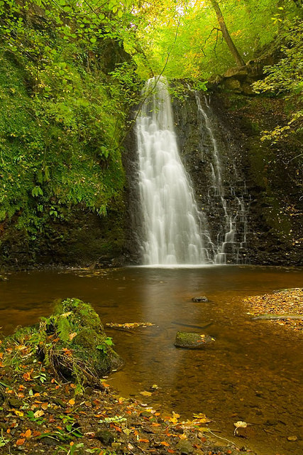
Falling Foss
Falling Foss is a waterfall that lies in the north-east section of The North York Moors National Park and is a popular spot for walking. It is 5 miles...
Related Videos

Robin Hoods Bay, Fylingdales Moor and Ravenscar
24/07/2022.
Jugger Howe WW2 Tank Range
For this video we made the trip to Jugger Howe WW2 Tank Range which is situated on Fylingdales Moor between Scarborough ...

Fylingdales Moor & Lilla Cross, North York Moors - 1 October 2022
An 11.4 mile walk from Jugger Howe on the A171. The route first heads west directly to Lilla Cross before turning north towards ...
Nearby Amenities
Located within 500m of 54.368402,-0.58492711Have you been to Brown Hill?
Leave your review of Brown Hill below (or comments, questions and feedback).