Hambleton Hill
Hill, Mountain in Lincolnshire South Kesteven
England
Hambleton Hill
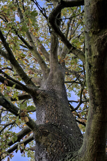
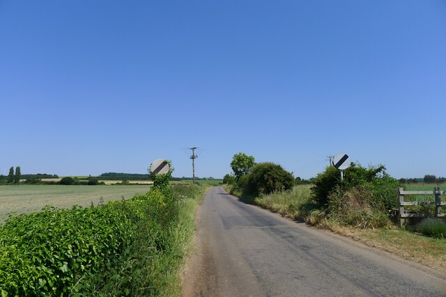
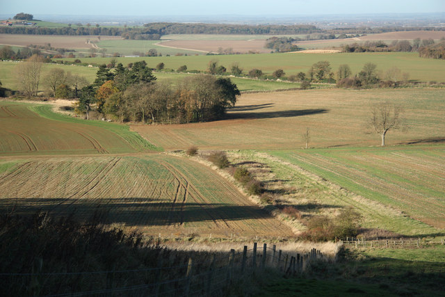
Hambleton Hill is a prominent hill located in Lincolnshire, England. With an elevation of 154 meters (505 feet), it is considered one of the highest points in the county. Situated near the small village of Hambleton, the hill offers breathtaking views of the surrounding countryside.
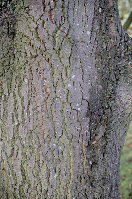
The hill is composed primarily of limestone and is characterized by its gently sloping sides. It is covered in grass and scattered with bushes and shrubs, creating a picturesque landscape. The summit of Hambleton Hill is relatively flat, providing ample space for visitors to take in the panoramic vistas.
The hill is popular among hikers and nature enthusiasts who enjoy exploring the area's diverse flora and fauna. It is home to a variety of plant species, including wildflowers, heather, and ferns. The hill's lush vegetation attracts a wide range of bird species, making it a haven for birdwatchers.
Hambleton Hill is also steeped in history, with evidence of prehistoric settlements and ancient burial mounds found in its vicinity. The hill has played a significant role in the local community, with archaeological discoveries shedding light on the area's past.
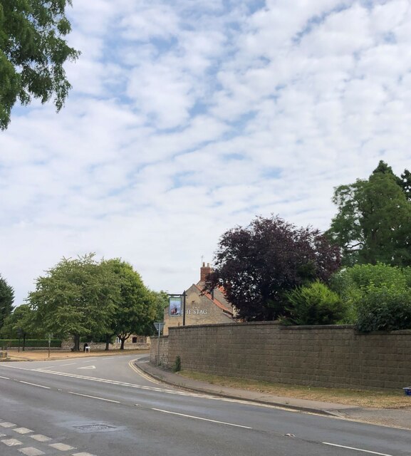
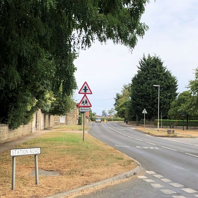
Access to Hambleton Hill is easy, with footpaths and trails leading up the hill from the nearby village. Parking facilities are available for visitors, ensuring convenient exploration of this natural gem. Whether one is seeking a peaceful hike or a vantage point to admire the Lincolnshire countryside, Hambleton Hill offers a serene and captivating experience for all who visit.
If you have any feedback on the listing, please let us know in the comments section below.
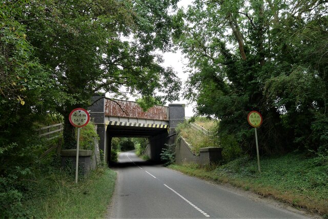
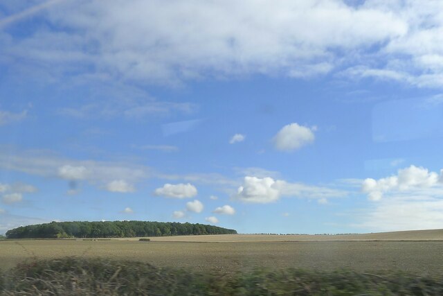
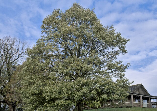
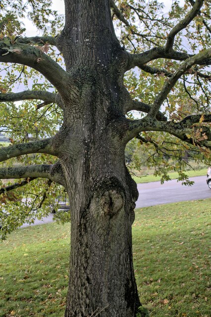
Hambleton Hill Images
Images are sourced within 2km of 52.960362/-0.63191959 or Grid Reference SK9141. Thanks to Geograph Open Source API. All images are credited.


Hambleton Hill is located at Grid Ref: SK9141 (Lat: 52.960362, Lng: -0.63191959)
Administrative County: Lincolnshire
District: South Kesteven
Police Authority: Lincolnshire
What 3 Words
///newsreel.premature.progress. Near Great Gonerby, Lincolnshire
Nearby Locations
Related Wikis

Barkston railway station
Barkston railway station is a former station serving the village of Barkston, Lincolnshire. It was on the Great Northern Railway main line near to the...

Syston, Lincolnshire
Syston is a village and civil parish in the South Kesteven district of Lincolnshire, England. The population of the civil parish was 162 at the 2011 census...

Barkston
Barkston is an English village and civil parish in the South Kesteven district of Lincolnshire. The parish population was 497 at the 2001 census and 493...

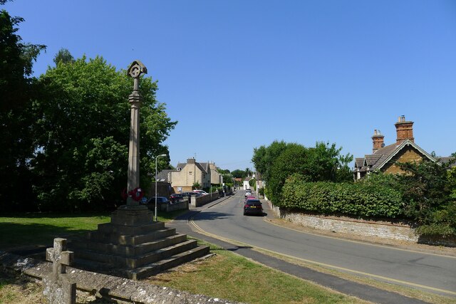
Belton, South Kesteven
Belton is a village in the civil parish of Belton and Manthorpe, in the South Kesteven district of Lincolnshire, England. It is situated on the A607 road...

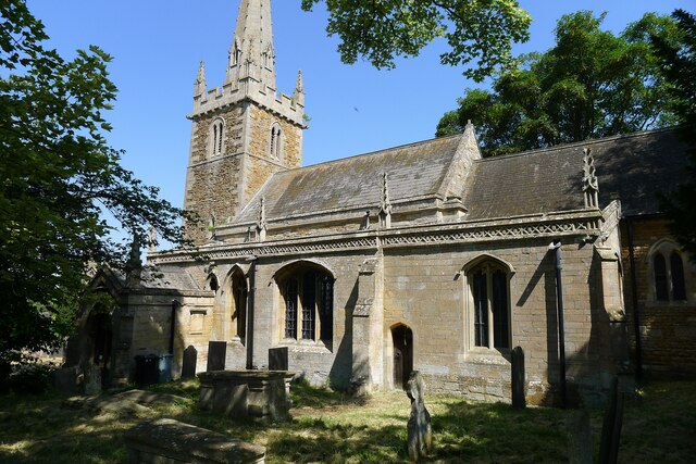
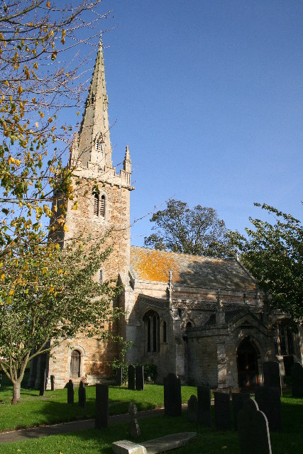
St Peter and St Paul's Church, Belton
The Church of St Peter and St Paul, Belton, South Kesteven, Lincolnshire is a functioning parish church and a Grade I listed building. Since the 17th century...
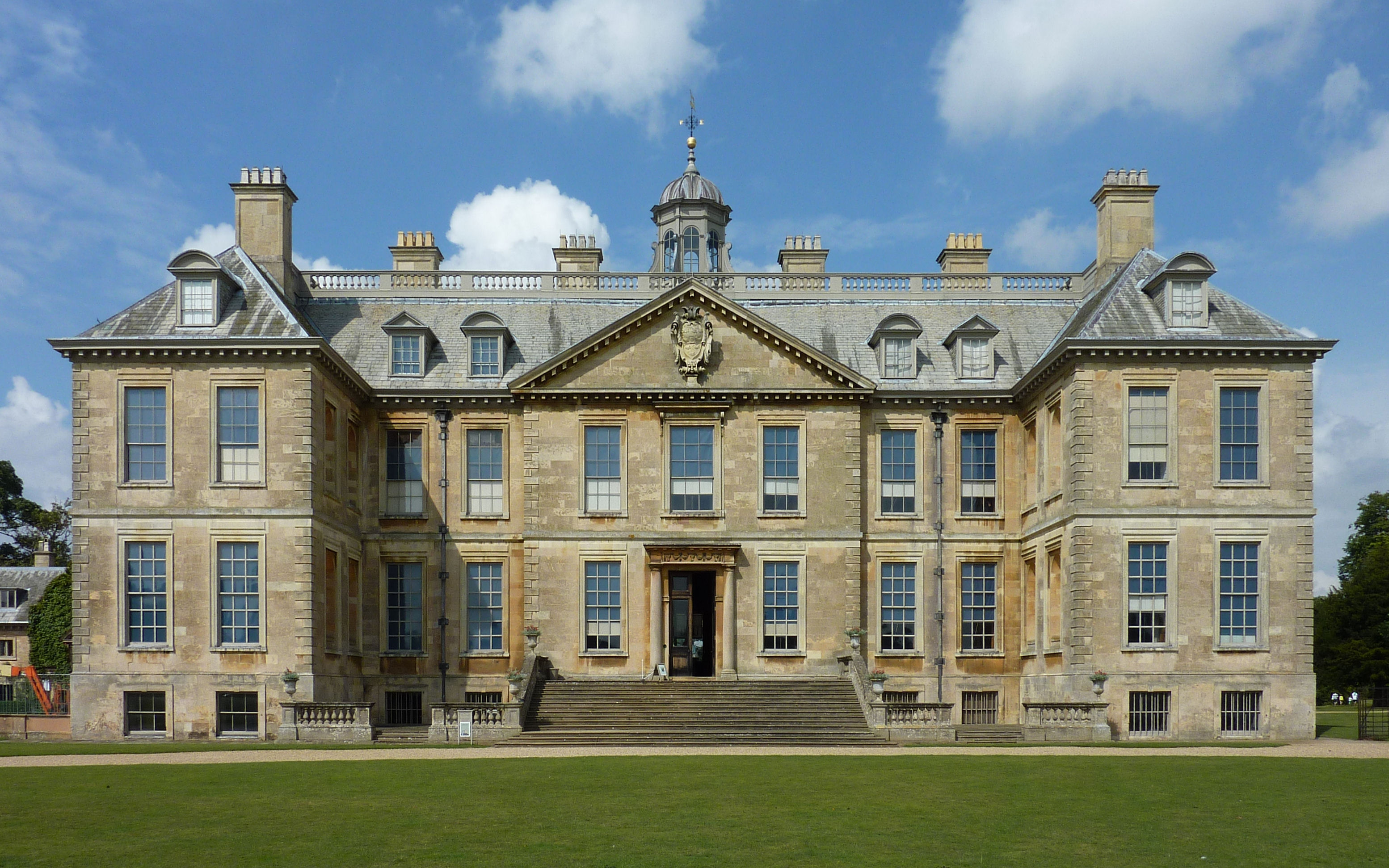
Belton House
Belton House is a Grade I listed country house in the parish of Belton near Grantham in Lincolnshire, England, built between 1685 and 1687 by Sir John...
Belton and Manthorpe
Belton and Manthorpe is a civil parish in the South Kesteven district of Lincolnshire, England, consisting of Belton and Manthorpe, just north of Grantham...

Belton House Boathouse
The Boathouse on Boathouse Pond, Belton House, Belton, Lincolnshire was designed by Anthony Salvin in 1838–1839. It is a Grade II listed building. ��2...
Nearby Amenities
Located within 500m of 52.960362,-0.63191959Have you been to Hambleton Hill?
Leave your review of Hambleton Hill below (or comments, questions and feedback).