Gibbet Hill

Hill, Mountain in Lincolnshire South Kesteven

England

Gibbet Hill

Green Lane, south-west of Great Ponton The northern part of a very pleasant bridleway from Stoke Rochford to Great Ponton.
Green Lane, south-west of Great Ponton Credit: Tim Heaton

Gibbet Hill is a prominent geographical feature located in Lincolnshire, England. It is classified as a hill rather than a mountain, as its elevation does not meet the criteria for a mountain classification. However, despite its modest height, Gibbet Hill holds historical and cultural significance in the region.

Situated near the village of Welton le Wold, Gibbet Hill rises to an elevation of approximately 173 meters (568 feet) above sea level. The hill is characterized by its distinctive conical shape and is a prominent landmark in the surrounding landscape. It offers breathtaking panoramic views of the picturesque Lincolnshire Wolds, an Area of Outstanding Natural Beauty.

The name "Gibbet Hill" derives from its association with a grisly historical event. In the 18th century, a gibbet, a structure used for public execution by hanging, was erected on top of the hill. It served as a deterrent for criminals and a warning to potential wrongdoers. The gibbet is no longer present, but the name remains as a reminder of this morbid history.

Today, Gibbet Hill attracts visitors and hikers who are drawn to its natural beauty and historical intrigue. It is a popular destination for outdoor enthusiasts, offering various walking trails that cater to different skill levels. The hill's summit provides a vantage point for capturing stunning photographs and appreciating the surrounding countryside.

Overall, Gibbet Hill stands as a testament to the rich history and natural splendor of Lincolnshire, offering a unique blend of cultural significance and scenic beauty.

If you have any feedback on the listing, please let us know in the comments section below.
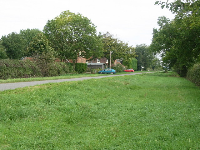
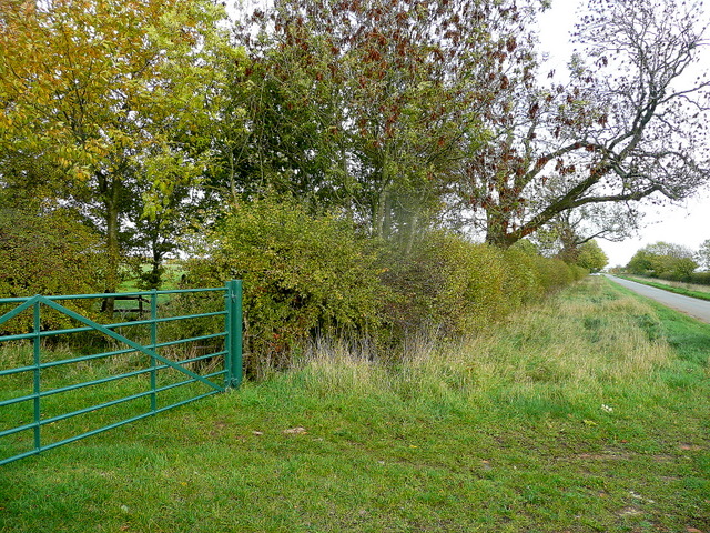
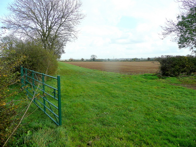
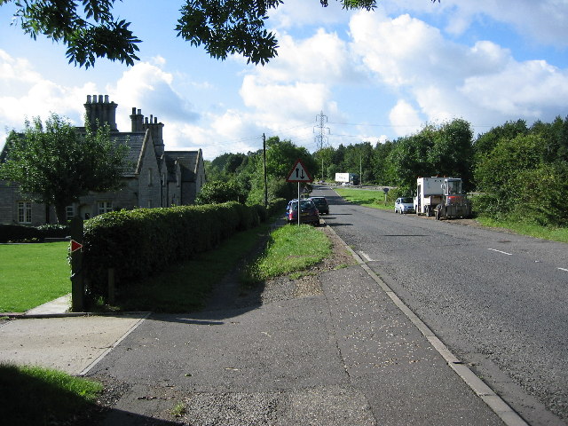
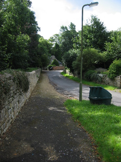
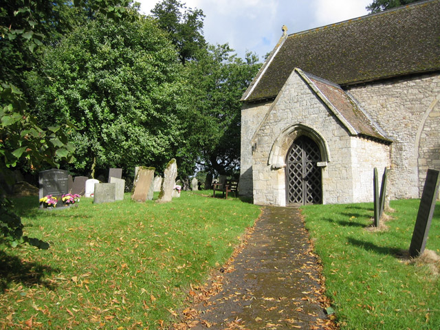
Gibbet Hill Images

Images are sourced within 2km of 52.868558/-0.63838974 or Grid Reference SK9130. Thanks to Geograph Open Source API. All images are credited.

Green Lane, south-west of Great Ponton The northern part of a very pleasant bridleway from Stoke Rochford to Great Ponton.
Green Lane, south-west of Great Ponton
The northern part of a very pleasant bridleway from Stoke Rochford to Great Ponton.
Great North Road (A1) Heading north.
Great North Road (A1)
Heading north.
Great North Road, Great Ponton
A1 southbound, leaving Great Ponton The A1 is the longest numbered road in the UK at 410 miles long. It connects London with Edinburgh, via the east of England. 
For much of its path it follows the Great North Road the old coaching route between London and Edinburgh. Several sections of the route are classified as motorway A1(M). The modern A1 bypasses the towns the Great North Road passed through and is dual carriageway for most of its route through England.
A1 southbound, leaving Great Ponton
The A1 is the longest numbered road in the UK at 410 miles long. It connects London with Edinburgh, via the east of England. For much of its path it follows the Great North Road the old coaching route between London and Edinburgh. Several sections of the route are classified as motorway A1(M). The modern A1 bypasses the towns the Great North Road passed through and is dual carriageway for most of its route through England.
Ponton Heath Farm, near Great Ponton, Lincolnshire
Farmland near Great Ponton
Driveway to Riverside Cottages
A1 looking southwards This is the A1 slightly south of Great Ponton
A1 looking southwards
This is the A1 slightly south of Great Ponton
A1 looking towards Great Ponton
Lay by on a wet A1 South
Gate by Heath Lane Looking east towardsPonton Heath Farm.
Gate by Heath Lane
Looking east towardsPonton Heath Farm.
Green Gate Opening onto arable land with wide headland near Ponton Heath Farm.
Green Gate
Opening onto arable land with wide headland near Ponton Heath Farm.
Stroxton, Lincolnshire A few miles from Grantham this village sits in a small valley in a fairly flat landscape
Stroxton, Lincolnshire
A few miles from Grantham this village sits in a small valley in a fairly flat landscape
All Saints, Stroxton A tiny church set on the edge of a field down a farm track.
All Saints, Stroxton
A tiny church set on the edge of a field down a farm track.
Harvesting Harvesting wheat, near Sproxton
Harvesting
Harvesting wheat, near Sproxton
Junction on the A1, south of Grantham The B1174 is the first of the four Grantham junctions as you approach from the south. The lorry in the centre of the photograph is on the A1. Taken from SK 921 319 looking south.
Junction on the A1, south of Grantham
The B1174 is the first of the four Grantham junctions as you approach from the south. The lorry in the centre of the photograph is on the A1. Taken from SK 921 319 looking south.
Little Ponton near Grantham This tiny village on the line of Ermine Street is believed to have been a Roman military station. Now it is a sleepy hamlet with the dull noise of the A1 traffic disturbing the peace.
Little Ponton near Grantham
This tiny village on the line of Ermine Street is believed to have been a Roman military station. Now it is a sleepy hamlet with the dull noise of the A1 traffic disturbing the peace.
St Guthlac's Church, Little Ponton The Limestone church dates back to the 11th century. Judging from the outside it has some fine stained glass but unfortunately it was locked. Situated at SK 924 332
St Guthlac's Church, Little Ponton
The Limestone church dates back to the 11th century. Judging from the outside it has some fine stained glass but unfortunately it was locked. Situated at SK 924 332
Show me another place!

Gibbet Hill is located at Grid Ref: SK9130 (Lat: 52.868558, Lng: -0.63838974)

Administrative County: Lincolnshire

District: South Kesteven

Police Authority: Lincolnshire

What 3 Words

///declares.bagels.triathlon. Near Grantham, Lincolnshire

Related Wikis

Little Ponton and Stroxton

Little Ponton and Stroxton is a civil parish in the South Kesteven district of Lincolnshire, England. According to the 2001 Census it had a population...

Ellys Manor House

Ellys Manor House (pronounced "Ellis"), or the Old Rectory is a late-fifteenth to early sixteenth century manor house in Great Ponton, Lincolnshire, England...

Great Ponton

Great Ponton is an English village and civil parish in the South Kesteven district of Lincolnshire, 3 miles (5 km) south of Grantham on the A1 trunk road...

Stroxton

Stroxton () is a village in the South Kesteven district of Lincolnshire, England. It is situated 3 miles (4.8 km) south from the centre of Grantham and...

Little Ponton

Little Ponton is a village in the South Kesteven district of Lincolnshire, England. It lies 2 miles (3 km) south of Grantham, about 60 metres (200 ft)...

Great Ponton railway station

Great Ponton railway station was a station on the East Coast Main Line at Great Ponton, Lincolnshire, England. The Great Northern Railway opened it in...

RAF Harlaxton

Royal Air Force Harlaxton or more simply RAF Harlaxton is a former Royal Air Force station near the village of Harlaxton, 3 mi (4.8 km) south west of Grantham...
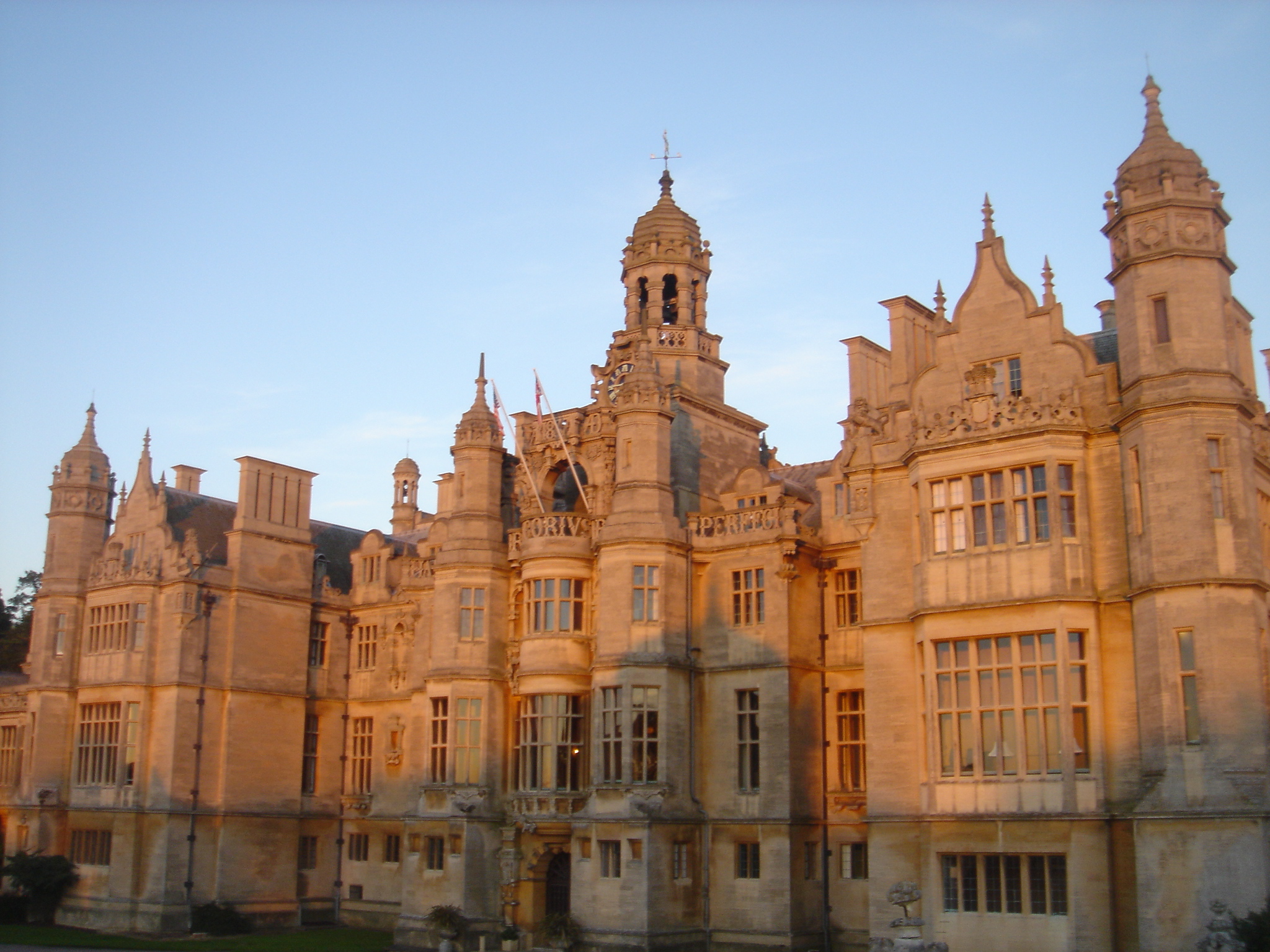
Harlaxton Manor

Harlaxton Manor is a Victorian country house in Harlaxton, Lincolnshire, England. It was built for Gregory Gregory, a local squire and businessman. Gregory...
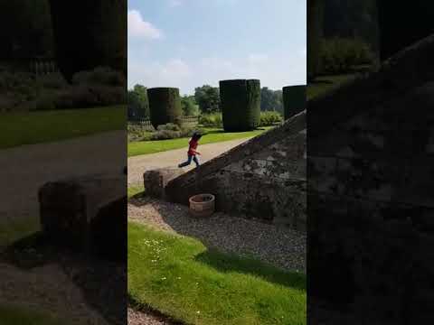
Related Videos

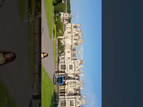
THE MIGRANT MANSION. Pt.1

Welcome to the migrant mansion a stunning Victorian Manor House sitting on 28 acres of landscaped grounds. Golf resort also on ...

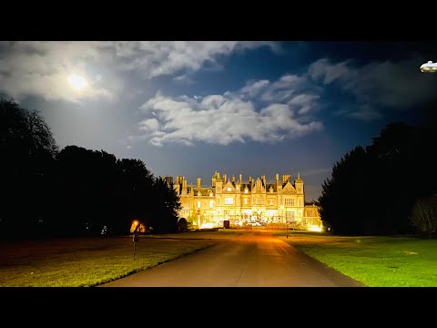
Taxi’s everywhere - Stoke Rochford Hall

Bare with our half a mile walk up the Manor Halls Driveway.

Nearby Amenities

Located within 500m of 52.868558,-0.63838974
Gibbet Hill
Place: locality
Source: Bing
Lat/Long: 52.8688963/-0.6372377
Great Ponton House
Place: isolated_dwelling
Source: Bing
Lat/Long: 52.8677545/-0.6319148
Power: pole
Lat/Long: 52.8667446/-0.6330233
Power: pole
Lat/Long: 52.8677032/-0.6332183
Power: pole
Lat/Long: 52.8686474/-0.6333854
Power: pole
Lat/Long: 52.8696083/-0.6335486
Power: pole
Lat/Long: 52.8705957/-0.633079
The data included in this document is from www.openstreetmap.org. The data is made available under ODbL.

Have you been to Gibbet Hill?

Leave your review of Gibbet Hill below (or comments, questions and feedback).