Far Hill
Hill, Mountain in Lincolnshire South Kesteven
England
Far Hill
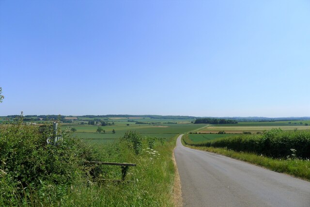
Far Hill is a prominent geographical feature located in the county of Lincolnshire, England. Despite its name, it is not actually a hill but rather a small, gently sloping mound rising to an elevation of approximately 100 meters above sea level. It is situated near the village of Far Hill, which is part of the district of West Lindsey.
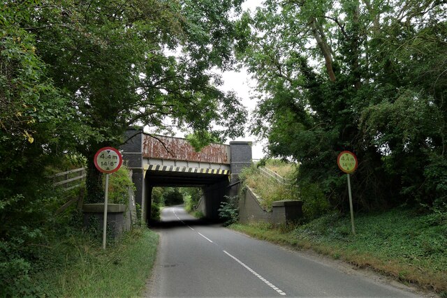
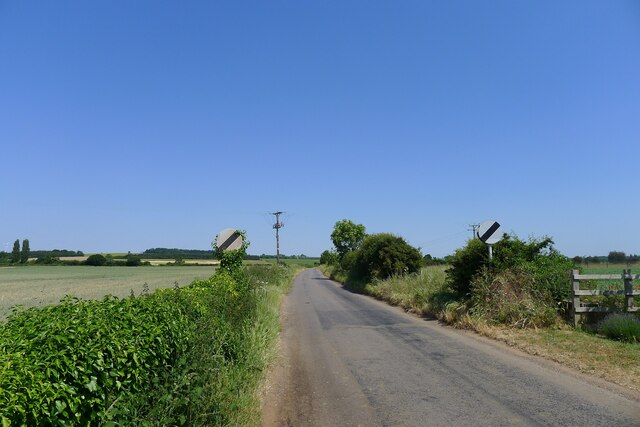
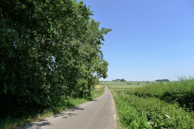
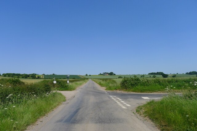
The hill itself is characterized by its smooth, rounded shape, covered in lush green grass and scattered with a few sparse trees. Its gentle slopes make it easily accessible, providing visitors with an opportunity to enjoy panoramic views of the surrounding countryside and distant horizons. On a clear day, one can see as far as the Lincolnshire Wolds to the east and even glimpse the coastline of the North Sea to the northeast.
Far Hill is not known for any historical or cultural significance, but it serves as a popular destination for outdoor enthusiasts, walkers, and nature lovers. The hill provides a tranquil and picturesque setting for recreational activities such as picnicking, birdwatching, or simply taking a leisurely stroll. It is also a favorite spot for photographers, capturing the beauty of the surrounding landscape.
Access to Far Hill is relatively easy, with a public footpath leading up to its summit. Nearby parking facilities and public transportation options make it convenient for visitors to reach the site. Overall, Far Hill offers a peaceful escape from the hustle and bustle of everyday life, allowing individuals to connect with nature and appreciate the natural beauty of Lincolnshire.
If you have any feedback on the listing, please let us know in the comments section below.
Far Hill Images
Images are sourced within 2km of 52.977442/-0.63972071 or Grid Reference SK9143. Thanks to Geograph Open Source API. All images are credited.


Far Hill is located at Grid Ref: SK9143 (Lat: 52.977442, Lng: -0.63972071)
Administrative County: Lincolnshire
District: South Kesteven
Police Authority: Lincolnshire
What 3 Words
///proofread.flow.trouble. Near Great Gonerby, Lincolnshire
Nearby Locations
Related Wikis

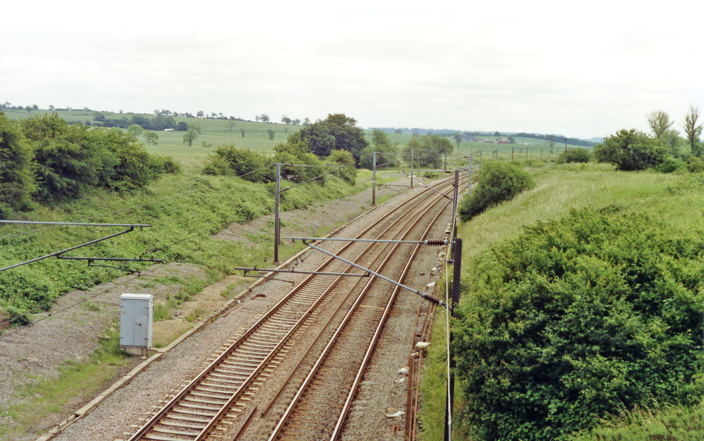
Barkston railway station
Barkston railway station is a former station serving the village of Barkston, Lincolnshire. It was on the Great Northern Railway main line near to the...
Hougham railway station
Hougham railway station is a former railway station in Hougham, Lincolnshire. The station was about a mile east of the village of Hougham itself and was...

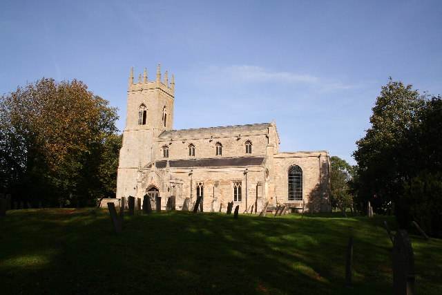
Gelston, Lincolnshire
Gelston is a village in the South Kesteven district of Lincolnshire, England. It is 2 miles (3 km) west from the A607 road, 5 miles (8 km) north from Grantham...

Barkston
Barkston is an English village and civil parish in the South Kesteven district of Lincolnshire. The parish population was 497 at the 2001 census and 493...

Marston, Lincolnshire
Marston is a village and civil parish in the South Kesteven district of Lincolnshire, England. The population of the civil parish at the 2011 census was...

Syston, Lincolnshire
Syston is a village and civil parish in the South Kesteven district of Lincolnshire, England. The population of the civil parish was 162 at the 2011 census...

Honington railway station
Honington railway station was a station in the village of Honington, Lincolnshire. It was located on junction with the line Grantham and Lincoln railway...
Hougham, Lincolnshire
Hougham () is a village and civil parish in the South Kesteven district of Lincolnshire, England, 6 miles (10 km) north from Grantham. The village of Marston...
Nearby Amenities
Located within 500m of 52.977442,-0.63972071Have you been to Far Hill?
Leave your review of Far Hill below (or comments, questions and feedback).