Charles Hill
Hill, Mountain in Surrey Waverley
England
Charles Hill
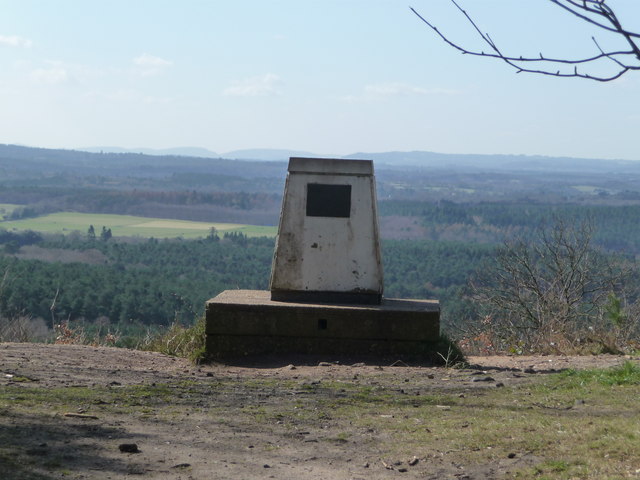
Charles Hill is a prominent landmark located in Surrey, England. It is a sizable hill that forms part of the North Downs, a range of chalk hills that extends across several counties in southern England. With an elevation of approximately 232 meters (761 feet), Charles Hill offers breathtaking panoramic views of the surrounding countryside.
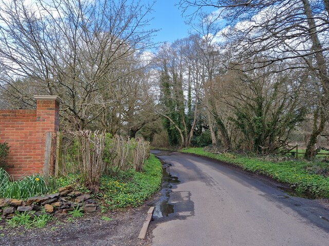
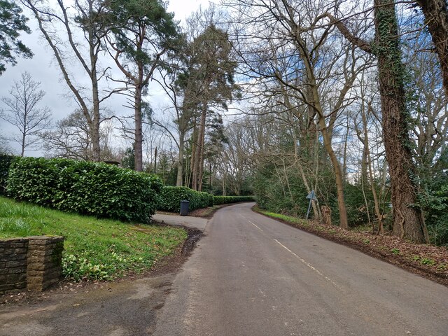
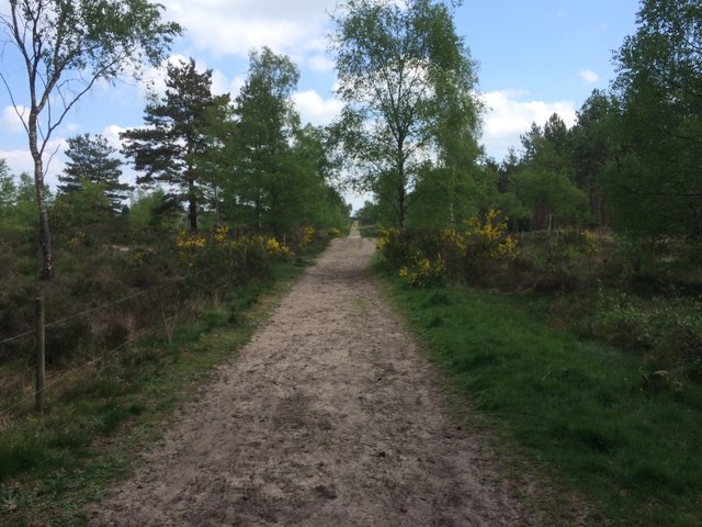
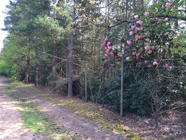
Situated near the town of Dorking, Charles Hill is a popular destination for hikers, nature enthusiasts, and photographers. The hill is covered with lush green vegetation, including grasses, wildflowers, and scattered trees, creating a picturesque and serene environment. It is also home to a diverse range of wildlife, including various bird species and small mammals.
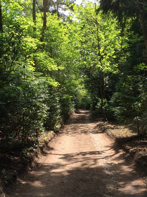
The hill provides several walking trails and footpaths that allow visitors to explore the area and enjoy its natural beauty. The paths offer different levels of difficulty, catering to both casual walkers and more adventurous hikers. On a clear day, the summit of Charles Hill provides stunning views that stretch for miles, offering glimpses of nearby towns, rolling hills, and distant mountains.
Due to its convenient location and scenic surroundings, Charles Hill attracts a significant number of visitors throughout the year. Whether it's for a leisurely stroll, a family picnic, or a more challenging hike, the hill provides a tranquil escape from the hustle and bustle of urban life. With its natural charm and captivating vistas, Charles Hill undoubtedly holds a special place in the hearts of locals and tourists alike.
If you have any feedback on the listing, please let us know in the comments section below.
Charles Hill Images
Images are sourced within 2km of 51.196018/-0.72919752 or Grid Reference SU8844. Thanks to Geograph Open Source API. All images are credited.


Charles Hill is located at Grid Ref: SU8844 (Lat: 51.196018, Lng: -0.72919752)
Administrative County: Surrey
District: Waverley
Police Authority: Surrey
What 3 Words
///screeches.snappy.acted. Near Elstead, Surrey
Nearby Locations
Related Wikis

Thundry Meadows
Thundry Meadows is a 16-hectare (40-acre) nature reserve in Elstead in Surrey. It is managed by the Surrey Wildlife Trust. Part of it is Charleshill Site...

Charleshill SSSI
Charleshill SSSI is a 10.1-hectare (25-acre) biological Site of Special Scientific Interest west of Elstead in Surrey. It is part of Thundry Meadows nature...

Hankley Farm
Hankley Farm is a 2.4-hectare (5.9-acre) biological Site of Special Scientific Interest (SSSI) west of Elstead in Surrey.This sandy arable field has been...
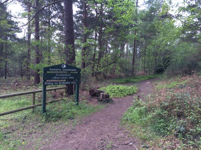
Crooksbury Hill
Crooksbury Hill is a 17.2-hectare (43-acre) nature reserve within Puttenham and Crooksbury Commons east of Farnham in Surrey. It is owned by Surrey County...

Mubarak Mosque, Tilford
The Mubarak Mosque (English: The Blessed Mosque) is a mosque in Tilford, Surrey, England. It currently serves as the mosque on the site of the international...
Islamabad, Tilford
Islamabad, in the village of Tilford, Surrey, England, is an estate which serves as the headquarters of the Ahmadiyya Muslim Community. Islamabad is 10...

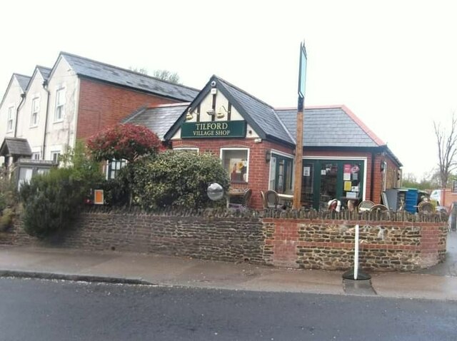
Tilford
Tilford is a village and civil parish centred at the point where the two branches of the River Wey merge in Surrey, England, 3 miles (4.8 km) south-east...

Mother Ludlam's Cave
Mother Ludlam's Cave, also known as Mother Ludlum's Cave or Mother Ludlum's Hole, is a small cave in the sandstone cliff of the Wey Valley at Moor Park...
Nearby Amenities
Located within 500m of 51.196018,-0.72919752Have you been to Charles Hill?
Leave your review of Charles Hill below (or comments, questions and feedback).