Yagden Hill
Hill, Mountain in Surrey Waverley
England
Yagden Hill
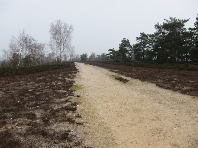
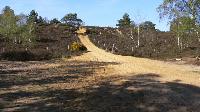
Yagden Hill, located in the county of Surrey, England, is a prominent hill and natural landmark that forms part of the North Downs. Standing at an elevation of approximately 217 meters (712 feet), it offers breathtaking views of the surrounding countryside and is a popular destination for outdoor enthusiasts and nature lovers alike.
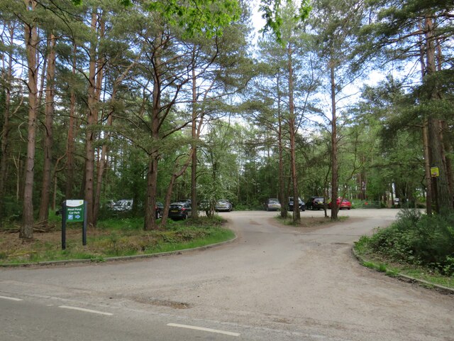
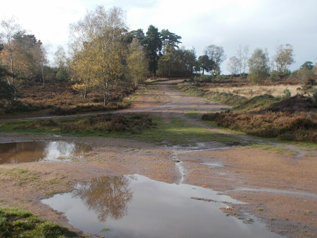
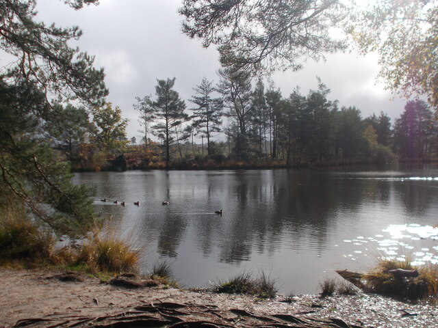
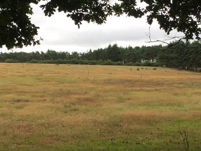
The hill is nestled within the Surrey Hills Area of Outstanding Natural Beauty, which underscores its significance as a site of exceptional natural and cultural value. Yagden Hill boasts a rich and diverse ecosystem, with a variety of flora and fauna thriving in its wooded slopes and meadows. Its well-maintained footpaths and trails make it an ideal spot for hiking, cycling, and horse riding activities.
At the summit of Yagden Hill, visitors are rewarded with panoramic vistas that stretch across the rolling hills and picturesque villages of Surrey. On a clear day, one can even catch a glimpse of the distant London skyline. It is no wonder that the hill has become a magnet for photographers, artists, and nature enthusiasts seeking inspiration and serenity.
Yagden Hill is also steeped in history, with archaeological evidence suggesting human occupation dating back to the Neolithic period. It is believed to have served as a strategic vantage point during various historical periods, with traces of ancient settlements and earthworks still visible today.
Overall, Yagden Hill offers a captivating blend of natural beauty, recreational opportunities, and historical significance. Whether one seeks panoramic views, a peaceful escape, or a chance to explore the region's past, Yagden Hill in Surrey is a must-visit destination.
If you have any feedback on the listing, please let us know in the comments section below.
Yagden Hill Images
Images are sourced within 2km of 51.174/-0.73372241 or Grid Reference SU8842. Thanks to Geograph Open Source API. All images are credited.


Yagden Hill is located at Grid Ref: SU8842 (Lat: 51.174, Lng: -0.73372241)
Administrative County: Surrey
District: Waverley
Police Authority: Surrey
What 3 Words
///wired.game.rotations. Near Elstead, Surrey
Nearby Locations
Related Wikis
Hankley Common
Hankley Common is a 560-hectare (1,400-acre) nature reserve and filming location in the south-west of Elstead in Surrey. It is owned by the Ministry of...

Hankley Farm
Hankley Farm is a 2.4-hectare (5.9-acre) biological Site of Special Scientific Interest (SSSI) west of Elstead in Surrey. This sandy arable field has been...
River Wey
The River Wey is a main tributary of the River Thames in south east England. Its two branches, one of which rises near Alton in Hampshire and the other...

Tilford
Tilford is a village and civil parish centred at the point where the two branches of the River Wey merge in Surrey, England, 3 miles (4.8 km) south-east...
Nearby Amenities
Located within 500m of 51.174,-0.73372241Have you been to Yagden Hill?
Leave your review of Yagden Hill below (or comments, questions and feedback).