Kettlebury Hill

Hill, Mountain in Surrey Waverley

England

Kettlebury Hill

St Michael & All Angels Church Grade I listed building - <span class="nowrap"><a title="https://historicengland.org.uk/listing/the-list/list-entry/1260876" rel="nofollow ugc noopener" href="https://historicengland.org.uk/listing/the-list/list-entry/1260876">Link</a><img style="margin-left:2px;" alt="External link" title="External link - shift click to open in new window" src="https://s1.geograph.org.uk/img/external.png" width="10" height="10"/></span>
St Michael & All Angels Church Credit: Ian Taylor

Kettlebury Hill is a prominent natural landmark located in Surrey, England. It is classified as a hill rather than a mountain, standing at an elevation of approximately 271 meters (889 feet) above sea level. The hill is situated in the southeastern part of Surrey, near the village of Chiddingfold.

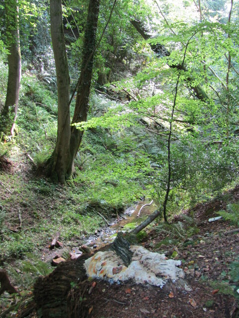
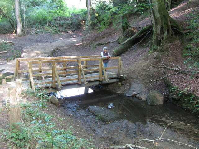
Covered in lush greenery, Kettlebury Hill offers breathtaking panoramic views of the surrounding countryside. It is a popular destination for outdoor enthusiasts and hikers, who are drawn to its peaceful and tranquil atmosphere. The hill is known for its gently sloping terrain, making it accessible to people of all fitness levels.

The summit of Kettlebury Hill provides a magnificent vantage point, offering vistas of the rolling countryside, dense forests, and nearby villages. On clear days, visitors can even catch a glimpse of the distant South Downs and the Surrey Hills Area of Outstanding Natural Beauty.

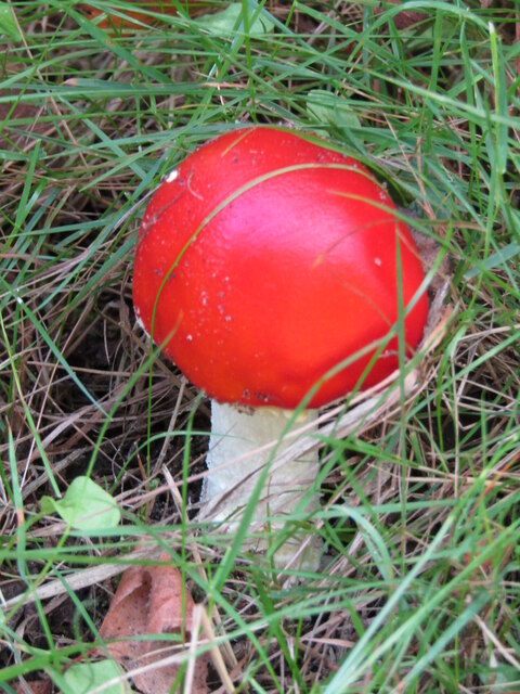
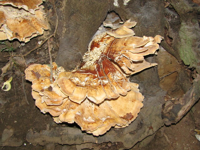
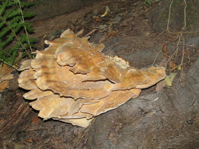
The hill is also home to diverse flora and fauna, with its woodlands providing sanctuary to numerous bird species and small mammals. In spring, the slopes of Kettlebury Hill come alive with colorful wildflowers, creating a stunning natural spectacle.

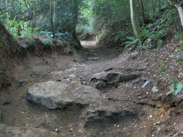
Kettlebury Hill is easily accessible by foot, with several footpaths and trails leading to its summit. It is a cherished natural gem for both locals and tourists alike, offering a tranquil escape from the hustle and bustle of city life. Whether it is for a leisurely stroll, a challenging hike, or simply to enjoy the breathtaking views, Kettlebury Hill is undoubtedly a must-visit destination in Surrey.

If you have any feedback on the listing, please let us know in the comments section below.

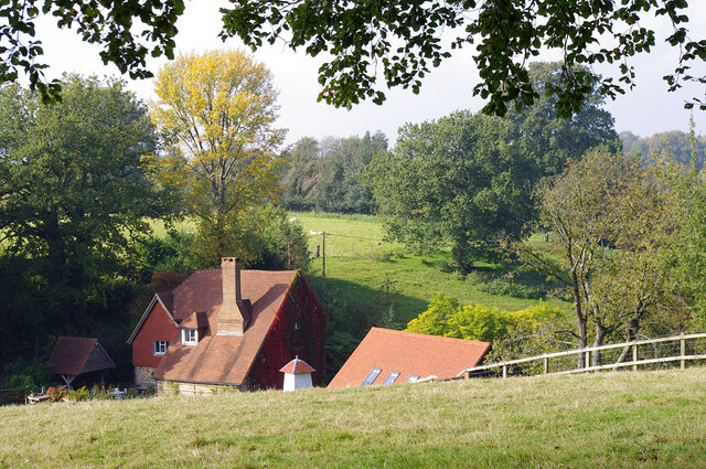
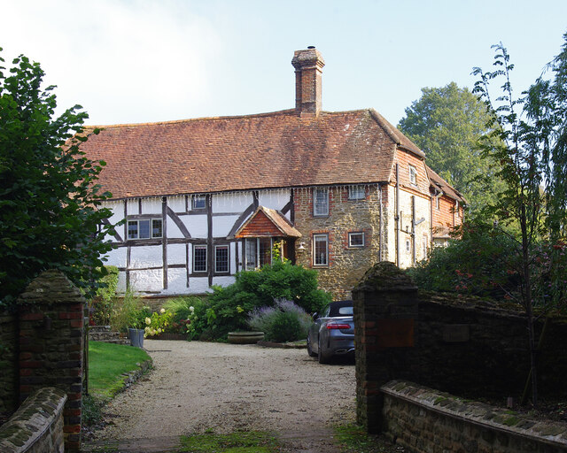
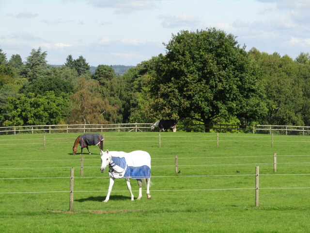
Kettlebury Hill Images

Images are sourced within 2km of 51.146371/-0.73502178 or Grid Reference SU8839. Thanks to Geograph Open Source API. All images are credited.

St Michael & All Angels Church Grade I listed building - <span class="nowrap"><a title="https://historicengland.org.uk/listing/the-list/list-entry/1260876" rel="nofollow ugc noopener" href="https://historicengland.org.uk/listing/the-list/list-entry/1260876">Link</a><img style="margin-left:2px;" alt="External link" title="External link - shift click to open in new window" src="https://s1.geograph.org.uk/img/external.png" width="10" height="10"/></span>
St Michael & All Angels Church
Grade I listed building - LinkExternal link
Farmland, Thursley The crop has been harvested.
Farmland, Thursley
The crop has been harvested.
Thursley - The Street Old red brick cottages line the village's former main street, now a quiet lane.
<span class="nowrap"><a title="www.thursley-pc.gov.uk" rel="nofollow ugc noopener" href="http://www.thursley-pc.gov.uk">Link</a><img style="margin-left:2px;" alt="External link" title="External link - shift click to open in new window" src="https://s1.geograph.org.uk/img/external.png" width="10" height="10"/></span>
Thursley - The Street
Old red brick cottages line the village's former main street, now a quiet lane. LinkExternal link
Thursley - St Michael's Church Parts of St Michael and All Angels date back to Saxon times but much of the fabric is now Victorian.
Note the cross carries a black drape - mourning for Queen Elizabeth II (1926-2022).
<span class="nowrap"><a title="www.thursley-pc.gov.uk" rel="nofollow ugc noopener" href="http://www.thursley-pc.gov.uk">Link</a><img style="margin-left:2px;" alt="External link" title="External link - shift click to open in new window" src="https://s1.geograph.org.uk/img/external.png" width="10" height="10"/></span>
Thursley - St Michael's Church
Parts of St Michael and All Angels date back to Saxon times but much of the fabric is now Victorian. Note the cross carries a black drape - mourning for Queen Elizabeth II (1926-2022). LinkExternal link
Thursley - Font Original font of Bargate stone inside St Michael and All Angels Church which has Saxon roots.
Thursley - Font
Original font of Bargate stone inside St Michael and All Angels Church which has Saxon roots.
Thursley - Royal Arms Board with royal coat of arms dated 1783, realm of King George III, within the historic parish church.
Thursley - Royal Arms
Board with royal coat of arms dated 1783, realm of King George III, within the historic parish church.
Thursley - Sunset Cottage Timber-framed 16th century cottage with a distinctively large sloping roof on The Street.
Thursley - Sunset Cottage
Timber-framed 16th century cottage with a distinctively large sloping roof on The Street.
Daffodils in Thursley Churchyard
Pitlands Farm Grade II listed building - <span class="nowrap"><a title="https://historicengland.org.uk/listing/the-list/list-entry/1240826" rel="nofollow ugc noopener" href="https://historicengland.org.uk/listing/the-list/list-entry/1240826">Link</a><img style="margin-left:2px;" alt="External link" title="External link - shift click to open in new window" src="https://s1.geograph.org.uk/img/external.png" width="10" height="10"/></span>
Pitlands Farm
Grade II listed building - LinkExternal link
Upper Highfield Farm House Grade II listed building - <span class="nowrap"><a title="https://historicengland.org.uk/listing/the-list/list-entry/1240875" rel="nofollow ugc noopener" href="https://historicengland.org.uk/listing/the-list/list-entry/1240875">Link</a><img style="margin-left:2px;" alt="External link" title="External link - shift click to open in new window" src="https://s1.geograph.org.uk/img/external.png" width="10" height="10"/></span>
Upper Highfield Farm House
Grade II listed building - LinkExternal link
Thursley - Paddocks Horsieculture is common in the grassy fields south of Thursley.
Thursley - Paddocks
Horsieculture is common in the grassy fields south of Thursley.
Devil's Punch Bowl - Toadstool Red, waxy-looking toadstool, ca 3 inches high, in the grass beside a footpath.
Devil's Punch Bowl - Toadstool
Red, waxy-looking toadstool, ca 3 inches high, in the grass beside a footpath.
Thursley - Fungus Large bracket fungus ca 1 foot from end to end in woodland close to Ridgeway Farm.
Thursley - Fungus
Large bracket fungus ca 1 foot from end to end in woodland close to Ridgeway Farm.
Thursley - Fungus Large bracket fungus ca 1 foot from end to end in woodland close to Ridgeway Farm.
Thursley - Fungus
Large bracket fungus ca 1 foot from end to end in woodland close to Ridgeway Farm.
Thursley - Byway Ancient and deeply incised trackway with exposed flat rocks in woodland close to Ridgeway Farm.
Thursley - Byway
Ancient and deeply incised trackway with exposed flat rocks in woodland close to Ridgeway Farm.
Thursley - Incised Valley In deciduous woodland south of Vanhurst Copse.
Note the large white splodge of white fungus in the foreground - ca 2 feet from end to end.
Thursley - Incised Valley
In deciduous woodland south of Vanhurst Copse. Note the large white splodge of white fungus in the foreground - ca 2 feet from end to end.
Thursley - Footbridge In deciduous woodland south of Vanhurst Copse. The bridge parallels an old ford.
Thursley - Footbridge
In deciduous woodland south of Vanhurst Copse. The bridge parallels an old ford.
Thursley - Reflections Bright, vivid reflections on a sunny patch of stream below a footbridge in deciduous woodland.
Thursley - Reflections
Bright, vivid reflections on a sunny patch of stream below a footbridge in deciduous woodland.
Show me another place!

Kettlebury Hill is located at Grid Ref: SU8839 (Lat: 51.146371, Lng: -0.73502178)

Administrative County: Surrey

District: Waverley

Police Authority: Surrey

What 3 Words

///trade.tacky.respond. Near Churt, Surrey

Nearby Locations

Kettlebury Hill

Related Wikis

Bron-y-de

Bron-y-de (transl. 'Breast of the south') was a house and surrounding farm in the village of Churt in the southern English county of Surrey. The main house...

Stockstone Quarry

Stockstone Quarry is a 3.9-hectare (9.6-acre) geological Site of Special Scientific Interest south of Farnham in Surrey. It is a Geological Conservation...

Rushmoor, Surrey

Rushmoor is a village in the civil parish of Frensham, in the Waverley district, in the county of Surrey, England. In 2019 it had an estimated population...

Thursley, Hankley and Frensham Commons

Thursley, Hankley and Frensham Commons is a 1,878.5-hectare (4,642-acre) biological Site of Special Scientific Interest west of Godalming in Surrey. Thursley...

Nearby Amenities

Located within 500m of 51.146371,-0.73502178
Parking
Source: survey
Lat/Long: 51.1458151/-0.7392728
Power: tower
Source: sas
Lat/Long: 51.1469181/-0.7325052
Pitch Place Farm
Landuse: farm
Note Retag: CS #48756035
Residence: farm
Source: photo
Lat/Long: 51.1439744/-0.7313533
Man Made: survey_point
Source: npe
Lat/Long: 51.1463657/-0.735
Power: tower
Source: sas
Lat/Long: 51.1442862/-0.7328873
Power: tower
Source: sas
Lat/Long: 51.1431959/-0.7330397
Power: tower
Source: sas
Lat/Long: 51.142062/-0.7330288
Kettlebury Hill
Source: OS Map 1775
Lat/Long: 51.146894/-0.7362916
The data included in this document is from www.openstreetmap.org. The data is made available under ODbL.

Have you been to Kettlebury Hill?

Leave your review of Kettlebury Hill below (or comments, questions and feedback).