Bill Hill

Hill, Mountain in Berkshire

England

Bill Hill

Coppice Green Bracknell A small patch of grass and trees between the houses.
Coppice Green Bracknell Credit: Des Blenkinsopp

Bill Hill, Berkshire, also known as Bill Hill or simply The Hill, is a prominent geographical feature located in the county of Berkshire, England. Standing at an elevation of approximately 175 meters (574 feet), it is classified as a hill rather than a mountain. Despite its relatively modest height, it offers breathtaking panoramic views of the surrounding countryside, making it a popular destination for locals and tourists alike.

Situated near the village of Stanford Dingley, Bill Hill is part of the North Wessex Downs Area of Outstanding Natural Beauty. Its slopes are covered by a mixture of woodland, grassland, and scrub, creating a diverse and picturesque landscape. The hill is renowned for its rich biodiversity, with various species of plants and animals thriving in this habitat.

The summit of Bill Hill provides a vantage point from which the River Pang and the Pang Valley can be observed, winding their way through the Berkshire countryside. On clear days, visitors can enjoy stunning vistas stretching as far as the Chiltern Hills and the North Downs.

Access to Bill Hill is relatively easy, with a network of footpaths and bridleways crisscrossing the area. The hill attracts hikers, walkers, and nature enthusiasts who come to explore its natural beauty and enjoy the tranquility it offers. Additionally, the hill is a popular spot for paragliding, providing thrill-seekers with an opportunity to soar through the sky and admire the landscape from a different perspective.

In summary, Bill Hill in Berkshire is a captivating natural landmark that offers breathtaking views, diverse flora and fauna, and a tranquil escape from the hustle and bustle of daily life.

If you have any feedback on the listing, please let us know in the comments section below.
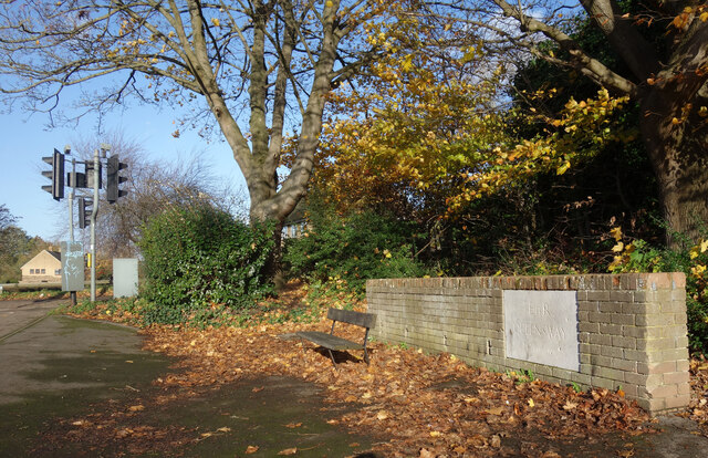
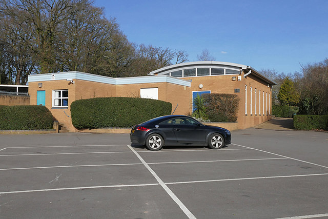
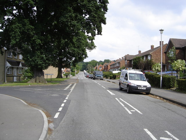
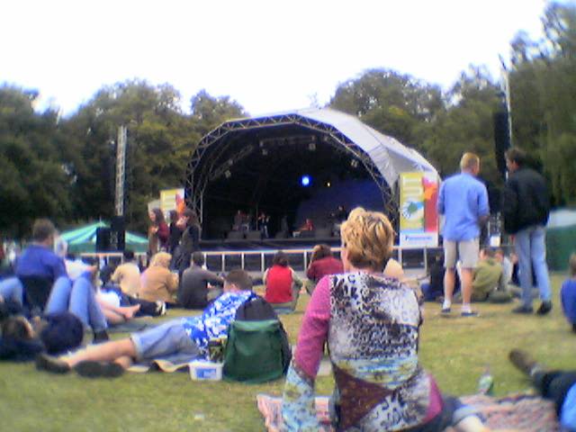
Bill Hill Images

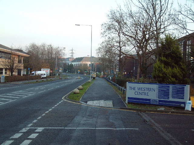
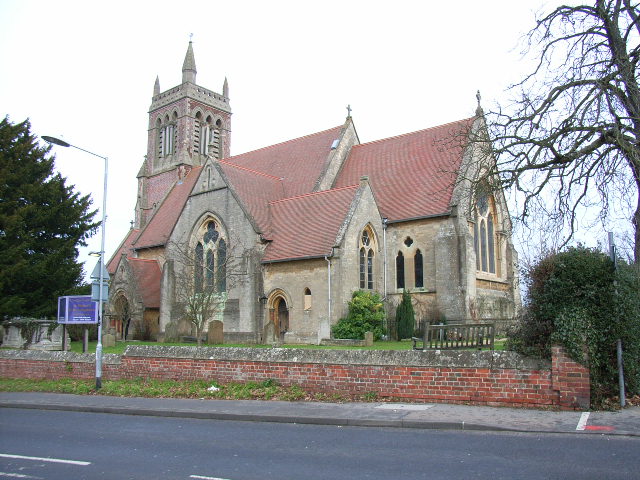
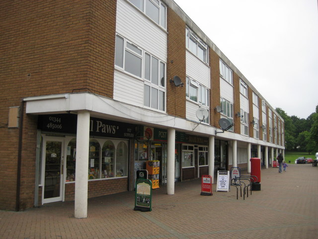
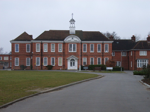
Images are sourced within 2km of 51.407892/-0.75329733 or Grid Reference SU8668. Thanks to Geograph Open Source API. All images are credited.

Coppice Green Bracknell A small patch of grass and trees between the houses.
Coppice Green Bracknell
A small patch of grass and trees between the houses.
Queensway. 1953 "E II R QUEENSWAY 2 June 1953" says the stone.
A coronation memento from the beginning of a long reign. It's beside a footpath through a strip of parkland off Moordale Avenue.
Queensway. 1953
"E II R QUEENSWAY 2 June 1953" says the stone. A coronation memento from the beginning of a long reign. It's beside a footpath through a strip of parkland off Moordale Avenue.
Lakeside and Wick Hill Wood Lakeside is the name of this street, and there is a pond off to the left behind the houses, but you can't see it.
Wick Hill Wood is a small square of woodland that has been left standing for people to enjoy.
Lakeside and Wick Hill Wood
Lakeside is the name of this street, and there is a pond off to the left behind the houses, but you can't see it. Wick Hill Wood is a small square of woodland that has been left standing for people to enjoy.
Braybrooke recreation area, Bracknell The community hall by the car park off Braybrooke Road in Bracknell.
Braybrooke recreation area, Bracknell
The community hall by the car park off Braybrooke Road in Bracknell.
Braybrooke recreation area, Bracknell The children's play area in the recreation area off Braybrooke Road.
Braybrooke recreation area, Bracknell
The children's play area in the recreation area off Braybrooke Road.
Jean's Pond, Braybrooke recreation area Jean's Pond near the community hall of the Braybrooke Recreation Ground in the northern suburbs of Bracknell.
Jean's Pond, Braybrooke recreation area
Jean's Pond near the community hall of the Braybrooke Recreation Ground in the northern suburbs of Bracknell.
Makepiece Road, Bracknell One of the residential roads in the northern suburbs of Bracknell. The Quelm Path joins from the right.
Makepiece Road, Bracknell
One of the residential roads in the northern suburbs of Bracknell. The Quelm Path joins from the right.
Walkway off Braybrooke Road, Bracknell The walkway south off Braybrooke Road in Bracknell
Walkway off Braybrooke Road, Bracknell
The walkway south off Braybrooke Road in Bracknell
The Quelm path, Bracknell The entrance to the Quelm Path on Makepiece Road. This path runs north to Harvest Ride near The Larks Hill countryside park.
The Quelm path, Bracknell
The entrance to the Quelm Path on Makepiece Road. This path runs north to Harvest Ride near The Larks Hill countryside park.
Braybrooke Recreation Ground, Bracknell The recreation ground in the northern suburbs of Bracknell.
Braybrooke Recreation Ground, Bracknell
The recreation ground in the northern suburbs of Bracknell.
Braybrooke Reacreation Ground, Bracknell The sports field in the recreation ground off Makepiece Road in Bracknell.
Braybrooke Reacreation Ground, Bracknell
The sports field in the recreation ground off Makepiece Road in Bracknell.
Quelm Lane, Bracknell The gated exit from Quelm Lane to Makepiece Road. The lane is a public right of way from Harvest Ride to Makepiece Road.
Quelm Lane, Bracknell
The gated exit from Quelm Lane to Makepiece Road. The lane is a public right of way from Harvest Ride to Makepiece Road.
Waste bin, Braybrooke car park, Bracknell A waste bin in the corner of the Braybrooke Recreation ground car park in Bracknell
Waste bin, Braybrooke car park, Bracknell
A waste bin in the corner of the Braybrooke Recreation ground car park in Bracknell
Shepherds Lane, Bracknell
Lake at Braybrooke Recreation Ground
A Bracknell Suburban Street This road is typical of the residential area in this grid square. Bracknell is a modern English Town. This square is about 50% residential area. This section is situated in the north western corner of the grid square.
A Bracknell Suburban Street
This road is typical of the residential area in this grid square. Bracknell is a modern English Town. This square is about 50% residential area. This section is situated in the north western corner of the grid square.
South Hill Park Bracknell "Out There" festival 2004
South Hill Park
Bracknell "Out There" festival 2004
Western Road, Bracknell Western Road is flanked on both sides with modern industrial units and offices. The building on the left edge of this photograph has been vacated by Dell and is available for letting.
Western Road, Bracknell
Western Road is flanked on both sides with modern industrial units and offices. The building on the left edge of this photograph has been vacated by Dell and is available for letting.
Show me another place!

Bill Hill is located at Grid Ref: SU8668 (Lat: 51.407892, Lng: -0.75329733)

Unitary Authority: Bracknell Forest

Police Authority: Thames Valley

What 3 Words

///spell.rooms.tone. Near Bracknell, Berkshire

Related Wikis

The Brakenhale School

The Brakenhale School (simply referred to as Brakenhale and formerly Borough Green City Secondary School) is an 11–18 mixed, secondary school and sixth...

Easthampstead

Easthampstead is a former village and now a southern suburb of the town of Bracknell in the English county of Berkshire, although the old village can still...

Wildridings

Wildridings is a suburb of Bracknell, in Berkshire, England. The settlement lies between the A322 and A3095 roads, is approximately 1 mile (1.6 km) south...

Ranelagh School

Ranelagh School is a Church of England day school in Berkshire close to the centre of Bracknell. The school was founded by Lord Ranelagh in 1709. ��2...

Nearby Amenities

Located within 500m of 51.407892,-0.75329733
Traffic Signals
Traffic Signals Direction: forward
Lat/Long: 51.4091909/-0.7490248
Traffic Signals
Traffic Signals Direction: forward
Lat/Long: 51.4093078/-0.7490434
Tumulus
Archaeological Site: tumulus
Historic: archaeological_site
Lat/Long: 51.4078554/-0.7528605
Co-op Food
Brand: Co-op Food
Brand Wikidata: Q3277439
Brand Wikipedia: en:Co-op Food
Operator: The Co-operative Group
Operator Wikidata: Q117202
Shop: convenience
Website: https://www.coop.co.uk/store-finder/RG12-7BN/5-rectory-row
Lat/Long: 51.4046283/-0.7559242
Crossing
Bicycle: yes
Crossing: traffic_signals
Crossing Ref: toucan
Kerb: lowered
Sloped Curb: yes
Source: survey
Lat/Long: 51.4092075/-0.7476579
Crossing
Bicycle: yes
Crossing: traffic_signals
Crossing Ref: toucan
Kerb: lowered
Sloped Curb: yes
Source: survey
Lat/Long: 51.4093096/-0.7477917
Crossing
Bicycle: yes
Crossing: unmarked
Kerb: lowered
Sloped Curb: yes
Source: Bing
Lat/Long: 51.4050907/-0.75877
Crossing
Crossing: unmarked
Kerb: lowered
Sloped Curb: yes
Source: Bing
Lat/Long: 51.4053727/-0.7587519
Easthampstead
Is In: Bracknell, Berkshire, England
Place: village
Source: Wikipedia, policy once a village, always unless a city is formed.
Wikidata: Q5330690
Lat/Long: 51.4042408/-0.751147
Wildridings
Place: locality
Wikidata: Q8001490
Lat/Long: 51.4083634/-0.7601378
Turning Circle
Lat/Long: 51.4073571/-0.7562719
Turning Circle
Lat/Long: 51.4090525/-0.7566643
Crossing
Crossing: uncontrolled
Crossing Island: yes
Kerb: lowered
Lat/Long: 51.4077223/-0.7513269
Crossing
Crossing: unmarked
Kerb: lowered
Sloped Curb: yes
Lat/Long: 51.4105009/-0.7585693
Traffic Signals
Traffic Signals Direction: forward
Lat/Long: 51.4083494/-0.7485156
Crossing
Crossing: traffic_signals
Crossing Ref: pelican
Kerb: lowered
Sloped Curb: yes
Tactile Paving: yes
Lat/Long: 51.4087163/-0.7498399
Crossing
Crossing: traffic_signals
Crossing Ref: pelican
Kerb: lowered
Sloped Curb: yes
Lat/Long: 51.4088908/-0.7495989
Traffic Signals
Traffic Signals: signal
Lat/Long: 51.4110138/-0.7559108
Traffic Signals
Traffic Signals: signal
Lat/Long: 51.4110779/-0.7558359
Crossing
Bicycle: yes
Crossing: unmarked
Kerb: lowered
Sloped Curb: yes
Lat/Long: 51.4073353/-0.7500312
Crossing
Crossing: unmarked
Kerb: lowered
Sloped Curb: yes
Lat/Long: 51.4037453/-0.7534503
Traffic Calming: hump
Lat/Long: 51.4047406/-0.7580038
Traffic Calming: hump
Lat/Long: 51.4054107/-0.7567014
Traffic Calming: hump
Lat/Long: 51.4058697/-0.7562851
Traffic Calming: hump
Lat/Long: 51.4062366/-0.7554569
Turning Circle
Lat/Long: 51.4072609/-0.7531616
Crossing
Bicycle: yes
Crossing: unmarked
Kerb: lowered
Sloped Curb: yes
Source: survey
Lat/Long: 51.4081716/-0.7468381
Crossing
Bicycle: yes
Crossing: traffic_signals
Crossing Ref: toucan
Kerb: lowered
Sloped Curb: yes
Source: survey
Lat/Long: 51.4113532/-0.7508582
Crossing
Bicycle: yes
Crossing: traffic_signals
Crossing Ref: toucan
Kerb: lowered
Sloped Curb: yes
Source: survey
Lat/Long: 51.4112538/-0.7509955
Barrier: cycle_barrier
Lat/Long: 51.405474/-0.754449
Crossing
Bicycle: yes
Crossing: unmarked
Kerb: lowered
Lat/Long: 51.405692/-0.7539636
Barrier: bollard
Lat/Long: 51.4069156/-0.7524218
Crossing
Bicycle: yes
Crossing: unmarked
Crossing Island: no
Crossing Markings: no
Kerb: lowered
Tactile Paving: yes
Lat/Long: 51.4070339/-0.7523231
Barrier: cycle_barrier
Lat/Long: 51.4049288/-0.7552579
Barrier: bollard
Lat/Long: 51.403403/-0.7530589
Crossing
Bicycle: yes
Crossing: unmarked
Kerb: lowered
Sloped Curb: yes
Lat/Long: 51.4054313/-0.7545626
Crossing
Bicycle: yes
Crossing: unmarked
Kerb: lowered
Lat/Long: 51.4063913/-0.7530386
Crossing
Bicycle: yes
Crossing Island: yes
Kerb: lowered
Sloped Curb: yes
Source: survey
Lat/Long: 51.408746/-0.7479921
Crossing
Bicycle: yes
Crossing Island: yes
Kerb: lowered
Sloped Curb: yes
Source: survey
Lat/Long: 51.4088443/-0.7479593
Crossing
Bicycle: yes
Crossing: uncontrolled
Kerb: lowered
Sloped Curb: yes
Lat/Long: 51.4116151/-0.7510438
Crossing
Bicycle: yes
Crossing: unmarked
Kerb: lowered
Sloped Curb: yes
Lat/Long: 51.4048706/-0.7552745
Traffic Signals
Source: Bing
Traffic Signals Direction: forward
Lat/Long: 51.4113973/-0.7508439
Traffic Signals
Source: Bing
Traffic Signals Direction: forward
Lat/Long: 51.4112188/-0.7509945
Crossing
Crossing: unmarked
Kerb: lowered
Sloped Curb: yes
Source: Bing
Lat/Long: 51.4068288/-0.7591654
Crossing
Bicycle: yes
Crossing: unmarked
Kerb: lowered
Sloped Curb: yes
Source: Bing
Lat/Long: 51.4058004/-0.7591677
Give Way
Direction: forward
Lat/Long: 51.4090322/-0.7546886
Traffic Signals
Traffic Signals Direction: forward
Lat/Long: 51.4087007/-0.7497645
Traffic Signals
Traffic Signals Direction: forward
Lat/Long: 51.4088746/-0.7496667
Crossing
Crossing: uncontrolled
Crossing Island: yes
Kerb: lowered
Source: Bing
Lat/Long: 51.4082971/-0.7492796
Traffic Signals
Traffic Signals Direction: forward
Lat/Long: 51.4089106/-0.7493814
Crossing
Crossing: uncontrolled
Crossing Island: yes
Kerb: lowered
Source: Bing
Tactile Paving: yes
Lat/Long: 51.408348/-0.7493936
Barrier: cycle_barrier
Lat/Long: 51.4071368/-0.7522253
Turning Loop
Lat/Long: 51.4069763/-0.7468314
Traffic Calming: table
Lat/Long: 51.4067392/-0.7466105
Traffic Signals
Traffic Signals Direction: forward
Lat/Long: 51.4084641/-0.7485564
Barrier: bollard
Lat/Long: 51.4067419/-0.7474311
Crossing
Crossing: unmarked
Crossing Island: no
Kerb: lowered
Sloped Curb: yes
Tactile Paving: no
Lat/Long: 51.410547/-0.7521971
Traffic Signals
Source: Bing
Traffic Signals Direction: forward
Lat/Long: 51.4092111/-0.7475918
Traffic Signals
Source: Bing
Traffic Signals Direction: forward
Lat/Long: 51.4093025/-0.7478527
Crossing
Crossing Island: yes
Kerb: lowered
Source: Bing
Lat/Long: 51.4105068/-0.7508657
Crossing
Crossing: unmarked
Crossing Ref: zebra
Kerb: lowered
Sloped Curb: yes
Lat/Long: 51.404273/-0.7556145
Crossing
Bicycle: yes
Crossing: unmarked
Kerb: lowered
Sloped Curb: yes
Lat/Long: 51.403563/-0.7535675
Barrier: bollard
Lat/Long: 51.4038221/-0.7534844
Crossing
Crossing: unmarked
Kerb: lowered
Sloped Curb: yes
Lat/Long: 51.404014/-0.7556797
Barrier: bollard
Lat/Long: 51.4045599/-0.7537517
Crossing
Crossing: unmarked
Kerb: lowered
Sloped Curb: yes
Lat/Long: 51.4034391/-0.7531745
Barrier: bollard
Lat/Long: 51.407201/-0.7498752
Community Centre
Bracknell Open Learning Centre
Lat/Long: 51.406026/-0.7520048
Doctors
Easthampstead Surgery
Addr Housenumber: 23
Addr Postcode: RG12 7BB
Addr Street: Rectory Lane
Website: http://www.easthampsteadsurgery.co.uk/
Lat/Long: 51.4054839/-0.7541434
Crossing
Crossing: unmarked
Kerb: lowered
Sloped Curb: yes
Lat/Long: 51.4047955/-0.7554446
Crossing
Crossing: unmarked
Kerb: lowered
Sloped Curb: yes
Source: Mapbox
Lat/Long: 51.403513/-0.7544882
Crossing
Bicycle: yes
Crossing: unmarked
Kerb: lowered
Sloped Curb: yes
Lat/Long: 51.4038847/-0.755296
Crossing
Crossing: unmarked
Kerb: lowered
Sloped Curb: yes
Lat/Long: 51.4034421/-0.7542776
Building: residential
Source: Mapbox
Lat/Long: 51.4039288/-0.7528915
Crossing
Bicycle: yes
Crossing: unmarked
Kerb: lowered
Lat/Long: 51.4058124/-0.7537899
Crossing
Crossing: unmarked
Kerb: lowered
Sloped Curb: yes
Lat/Long: 51.4059077/-0.7539512
Barrier: cycle_barrier
Lat/Long: 51.4064477/-0.7529675
Barrier: cycle_barrier
Lat/Long: 51.4063429/-0.7530994
Kwik Fit
Addr Postcode: RG12 9SE
Addr Street: Bagshot Road
Brand: Kwik Fit
Brand Wikidata: Q958053
Brand Wikipedia: en:Kwik Fit
Shop: car_repair
Lat/Long: 51.4055981/-0.7479752
Topps Tiles
Brand: Topps Tiles
Brand Wikidata: Q17026595
Brand Wikipedia: en:Topps Tiles
Shop: tiles
Lat/Long: 51.4053945/-0.7479581
Restaurant
The Horse & Groom (Harvester)
Addr City: Bracknell
Addr Country: GB
Addr Postcode: RG12 9RB
Addr Street: Bagshot Road
Brand: Harvester
Brand Wikidata: Q5676915
Brand Wikipedia: en:Harvester (restaurant)
Contact Website: https://www.harvester.co.uk/restaurants/southeast/thehorseandgroombracknell
Cuisine: american
Fhrs Id: 986472
Lat/Long: 51.4077314/-0.7474082
Fuel
Shell
Addr Postcode: RG12 9SE
Brand: Shell
Brand Wikidata: Q110716465
Fuel Diesel: yes
Fuel Octane 95: yes
Fuel Octane 98: yes
Not Addr Postcode: RG12 9RP
Opening Hours: 24/7
Phone: +44 1344 860293
Ref Navads: NVDS353_10018951
Source Addr Postcode: code-point_open
Website: https://find.shell.com/gb/fuel/10018951-shell-little-waitrose-bracknell
Lat/Long: 51.4050508/-0.7478633
Little Waitrose
Brand: Little Waitrose
Brand Wikidata: Q771734
Brand Wikipedia: en:Waitrose
Shop: convenience
Website: https://www.waitrose.com/find-a-store/bagshot-road
Wheelchair: yes
Lat/Long: 51.4052193/-0.7479173
Barrier: bollard
Lat/Long: 51.4084575/-0.746992
Barrier: bollard
Lat/Long: 51.4083484/-0.7466149
Crossing
Crossing Island: yes
Kerb: lowered
Source: Bing
Lat/Long: 51.4106199/-0.7509199
Traffic Calming: bump
Lat/Long: 51.4120207/-0.7546864
Post Box
Collection Times: Mo-Fr 09:00, Sa 07:00
Drive Through: no
Operator: Royal Mail
Post Box Type: wall
Ref: RG12 54D
Royal Cypher: GR
Royal Cypher Wikidata: Q33102273
Lat/Long: 51.4104715/-0.7520302
Barrier: cycle_barrier
Lat/Long: 51.4070673/-0.7522954
Crossing
Crossing: unmarked
Crossing Island: no
Kerb: lowered
Tactile Paving: yes
Lat/Long: 51.4113456/-0.7514364
Barrier: bollard
Lat/Long: 51.4068416/-0.7525031
Crossing
Crossing: unmarked
Kerb: lowered
Source: Bing
Lat/Long: 51.4057204/-0.7522244
Crossing
Bicycle: yes
Crossing: unmarked
Kerb: lowered
Lat/Long: 51.4061452/-0.7533542
Traffic Calming: cushion
Lat/Long: 51.4056234/-0.7542614
Crossing
Crossing: unmarked
Kerb: lowered
Lat/Long: 51.4054188/-0.754838
Barrier: cycle_barrier
Lat/Long: 51.4049721/-0.755232
Crossing
Bicycle: yes
Crossing: unmarked
Kerb: lowered
Lat/Long: 51.4059405/-0.7536221
Pharmacy
Lloyds Pharmacy
Brand: Lloyds Pharmacy
Brand Wikidata: Q6662870
Brand Wikipedia: en:LloydsPharmacy
Dispensing: yes
Drive Through: no
Healthcare: pharmacy
Lat/Long: 51.4047218/-0.7559262
Post Box
Collection Times: Mo-Fr 17:00, Sa 12:00
Drive Through: no
Post Box Type: pillar
Ref: RG12 130
Royal Cypher: EIIR
Royal Cypher Wikidata: Q33102113
Lat/Long: 51.4046512/-0.7558218
Veterinary
Medivet Easthampstead
Operator: Medivet
Lat/Long: 51.4053086/-0.7541973
Direction: 185
Generator Method: photovoltaic
Generator Output Electricity: yes
Generator Solar Modules: 13
Generator Source: solar
Generator Type: solar_photovoltaic_panel
Location: roof
Power: generator
Lat/Long: 51.409795/-0.751337
Bus Stop
Bus: yes
Public Transport: platform
Lat/Long: 51.408871/-0.7548368
Bus Stop
Bus: yes
Naptan AtcoCode: 0380F763H572
Naptan NaptanCode: bknapwm
Public Transport: platform
Lat/Long: 51.4088148/-0.7551784
Direction: 270
Generator Method: photovoltaic
Generator Output Electricity: yes
Generator Solar Modules: 10
Generator Source: solar
Generator Type: solar_photovoltaic_panel
Location: roof
Power: generator
Lat/Long: 51.4090039/-0.7580525
Direction: 90
Generator Method: photovoltaic
Generator Output Electricity: yes
Generator Solar Modules: 6
Generator Source: solar
Generator Type: solar_photovoltaic_panel
Location: roof
Power: generator
Lat/Long: 51.4090113/-0.7580112
Direction: 90
Generator Method: photovoltaic
Generator Output Electricity: yes
Generator Solar Modules: 8
Generator Source: solar
Generator Type: solar_photovoltaic_panel
Location: roof
Power: generator
Lat/Long: 51.4092413/-0.7591033
Direction: 270
Generator Method: photovoltaic
Generator Output Electricity: yes
Generator Solar Modules: 8
Generator Source: solar
Generator Type: solar_photovoltaic_panel
Location: roof
Power: generator
Lat/Long: 51.4092409/-0.7591541
Direction: 140
Generator Method: photovoltaic
Generator Output Electricity: yes
Generator Solar Modules: 18
Generator Source: solar
Generator Type: solar_photovoltaic_panel
Location: roof
Power: generator
Lat/Long: 51.4091344/-0.753366
Direction: 140
Generator Method: photovoltaic
Generator Output Electricity: yes
Generator Solar Modules: 15
Generator Source: solar
Generator Type: solar_photovoltaic_panel
Location: roof
Power: generator
Lat/Long: 51.4091417/-0.7537456
Direction: 230
Generator Method: photovoltaic
Generator Output Electricity: yes
Generator Solar Modules: 18
Generator Source: solar
Generator Type: solar_photovoltaic_panel
Location: roof
Power: generator
Lat/Long: 51.4091954/-0.7535497
Direction: 230
Generator Method: photovoltaic
Generator Output Electricity: yes
Generator Solar Modules: 19
Generator Source: solar
Generator Type: solar_photovoltaic_panel
Location: roof
Power: generator
Lat/Long: 51.4091121/-0.7539251
Direction: 250
Generator Method: photovoltaic
Generator Output Electricity: yes
Generator Solar Modules: 8
Generator Source: solar
Generator Type: solar_photovoltaic_panel
Location: roof
Power: generator
Lat/Long: 51.4078875/-0.7554572
Direction: 270
Generator Method: photovoltaic
Generator Output Electricity: yes
Generator Solar Modules: 10
Generator Source: solar
Generator Type: solar_photovoltaic_panel
Location: roof
Power: generator
Lat/Long: 51.4080989/-0.7582149
Direction: 180
Generator Method: photovoltaic
Generator Output Electricity: yes
Generator Solar Modules: 10
Generator Source: solar
Generator Type: solar_photovoltaic_panel
Location: roof
Power: generator
Lat/Long: 51.4084484/-0.7573463
Direction: 125
Generator Method: photovoltaic
Generator Output Electricity: yes
Generator Solar Modules: 15
Generator Source: solar
Generator Type: solar_photovoltaic_panel
Location: roof
Power: generator
Lat/Long: 51.4070204/-0.7554177
Direction: 95
Generator Method: photovoltaic
Generator Output Electricity: yes
Generator Solar Modules: 16
Generator Source: solar
Generator Type: solar_photovoltaic_panel
Location: roof
Power: generator
Lat/Long: 51.4067784/-0.7555601
Direction: 185
Generator Method: photovoltaic
Generator Output Electricity: yes
Generator Solar Modules: 6
Generator Source: solar
Generator Type: solar_photovoltaic_panel
Location: roof
Power: generator
Lat/Long: 51.4063621/-0.7550508
Direction: 205
Generator Method: photovoltaic
Generator Output Electricity: yes
Generator Solar Modules: 16
Generator Source: solar
Generator Type: solar_photovoltaic_panel
Location: roof
Power: generator
Lat/Long: 51.4062108/-0.7542717
Traffic Calming: cushion
Lat/Long: 51.4039177/-0.7559655
Direction: 145
Generator Method: photovoltaic
Generator Output Electricity: yes
Generator Solar Modules: 16
Generator Source: solar
Generator Type: solar_photovoltaic_panel
Location: roof
Power: generator
Lat/Long: 51.4069907/-0.746481
Direction: 240
Generator Method: photovoltaic
Generator Output Electricity: yes
Generator Solar Modules: 12
Generator Source: solar
Generator Type: solar_photovoltaic_panel
Location: roof
Power: generator
Lat/Long: 51.4071202/-0.7466549
Bus Stop
Bus: yes
Naptan AtcoCode: 0380G192H356
Naptan NaptanCode: bknatjg
Public Transport: platform
Lat/Long: 51.4075597/-0.7478061
Bus Stop
Bus: yes
Public Transport: platform
Lat/Long: 51.4078118/-0.7482346
Direction: 145
Fixme: survey for panel count
Generator Method: photovoltaic
Generator Output Electricity: yes
Generator Solar Modules: 16
Generator Source: solar
Generator Type: solar_photovoltaic_panel
Location: roof
Power: generator
Lat/Long: 51.4049683/-0.7576429
Direction: 145
Generator Method: photovoltaic
Generator Output Electricity: yes
Generator Solar Modules: 18
Generator Source: solar
Generator Type: solar_photovoltaic_panel
Location: roof
Power: generator
Lat/Long: 51.4048234/-0.7570644
Direction: 150
Fixme: survey for panel count
Fixme Lamp Model: survey for panel count
Generator Method: photovoltaic
Generator Output Electricity: yes
Generator Solar Modules: 12
Generator Source: solar
Generator Type: solar_photovoltaic_panel
Location: roof
Power: generator
Lat/Long: 51.4055151/-0.7574753
Direction: 195
Generator Method: photovoltaic
Generator Output Electricity: yes
Generator Solar Modules: 16
Generator Source: solar
Generator Type: solar_photovoltaic_panel
Location: roof
Power: generator
Lat/Long: 51.4060111/-0.7545773
Barrier: bollard
Lat/Long: 51.4053539/-0.7476456
Man Made: mast
Lat/Long: 51.4074351/-0.7477716
Give Way
Lat/Long: 51.4106837/-0.7508775
Bus Stop
Bus: yes
Mapillary: 2245865918901009
Naptan AtcoCode: 0380F982H382
Naptan NaptanCode: bknatgj
Public Transport: platform
Shelter: yes
Lat/Long: 51.4078258/-0.7507734
Post Box
Brand: Royal Mail
Brand Wikidata: Q638098
Mapillary: 2245865918901009
Operator: Royal Mail
Operator Wikidata: Q638098
Post Box Mounting: pier
Post Box Type: lamp
Lat/Long: 51.4078026/-0.7506856
Crossing
Lat/Long: 51.4063013/-0.752716
The data included in this document is from www.openstreetmap.org. The data is made available under ODbL.

Have you been to Bill Hill?

Leave your review of Bill Hill below (or comments, questions and feedback).