Cabbage Hill
Hill, Mountain in Berkshire
England
Cabbage Hill

Cabbage Hill is a prominent hill located in Berkshire, England. Situated within the rolling landscape of the county, the hill is part of the wider Berkshire Downs range and stands at an elevation of approximately 208 meters (682 feet).
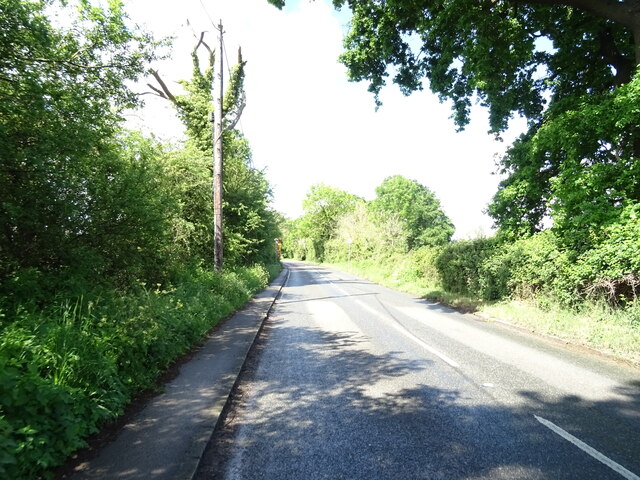
The hill takes its name from the abundance of wild cabbage plants that used to grow on its slopes. It is known for its gently sloping sides, making it a popular spot for walkers and hikers, offering panoramic views of the surrounding countryside. At its peak, visitors can enjoy stunning vistas of the nearby towns and villages, as well as the picturesque Berkshire Downs.
Cabbage Hill is also notable for its rich natural history and diverse wildlife. The hill is home to a variety of plant species, including wildflowers and grasses that thrive in the chalky soil. The area is also known for its bird population, with several species of birds of prey often spotted soaring above the hill.
Access to Cabbage Hill is relatively easy, with well-maintained footpaths leading to the summit. The hill is a popular destination for outdoor enthusiasts, attracting walkers, runners, and nature lovers throughout the year. It offers a peaceful retreat away from the hustle and bustle of nearby towns, providing a tranquil setting for relaxation and exploration.
Overall, Cabbage Hill in Berkshire is a beautiful natural landmark, offering breathtaking views and an opportunity to connect with nature in the heart of England.
If you have any feedback on the listing, please let us know in the comments section below.
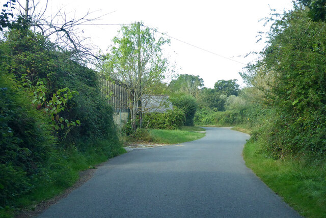
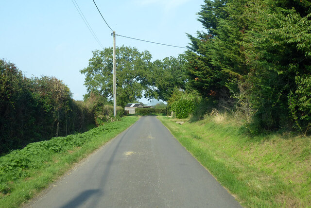
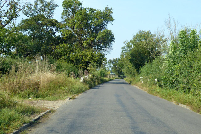
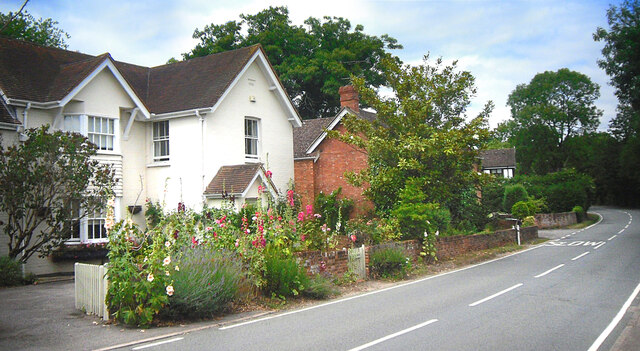
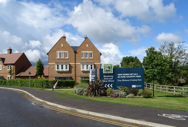
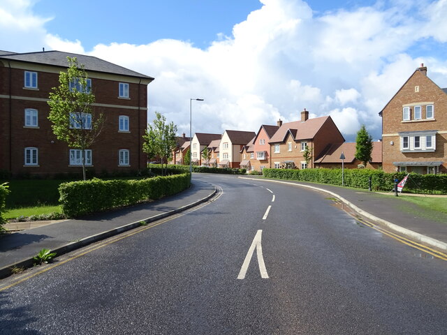
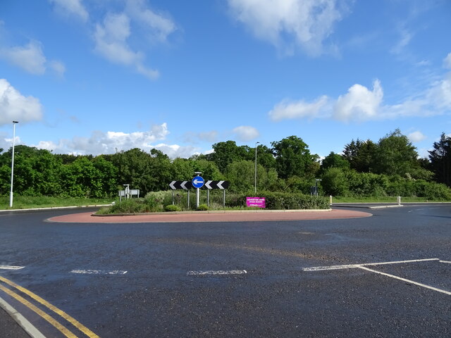
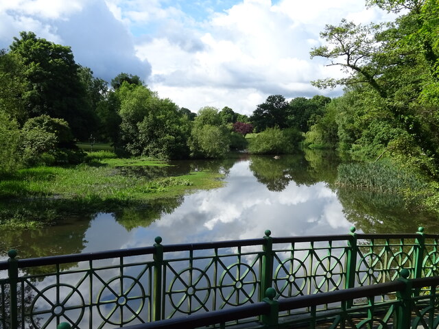
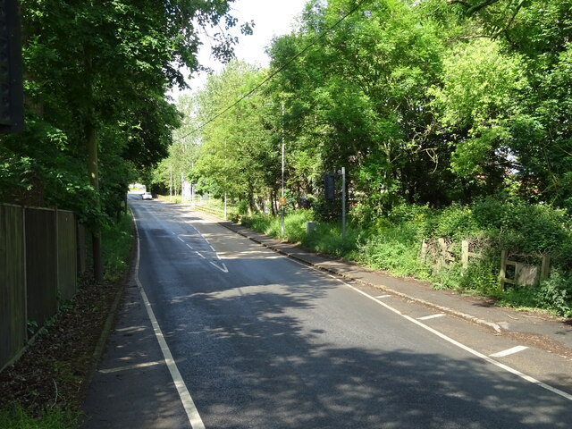
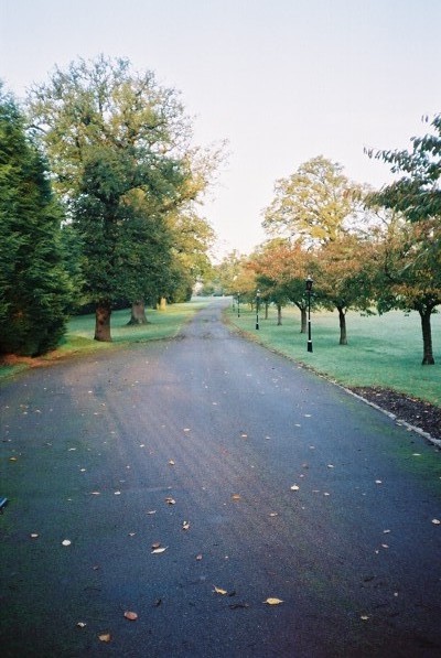
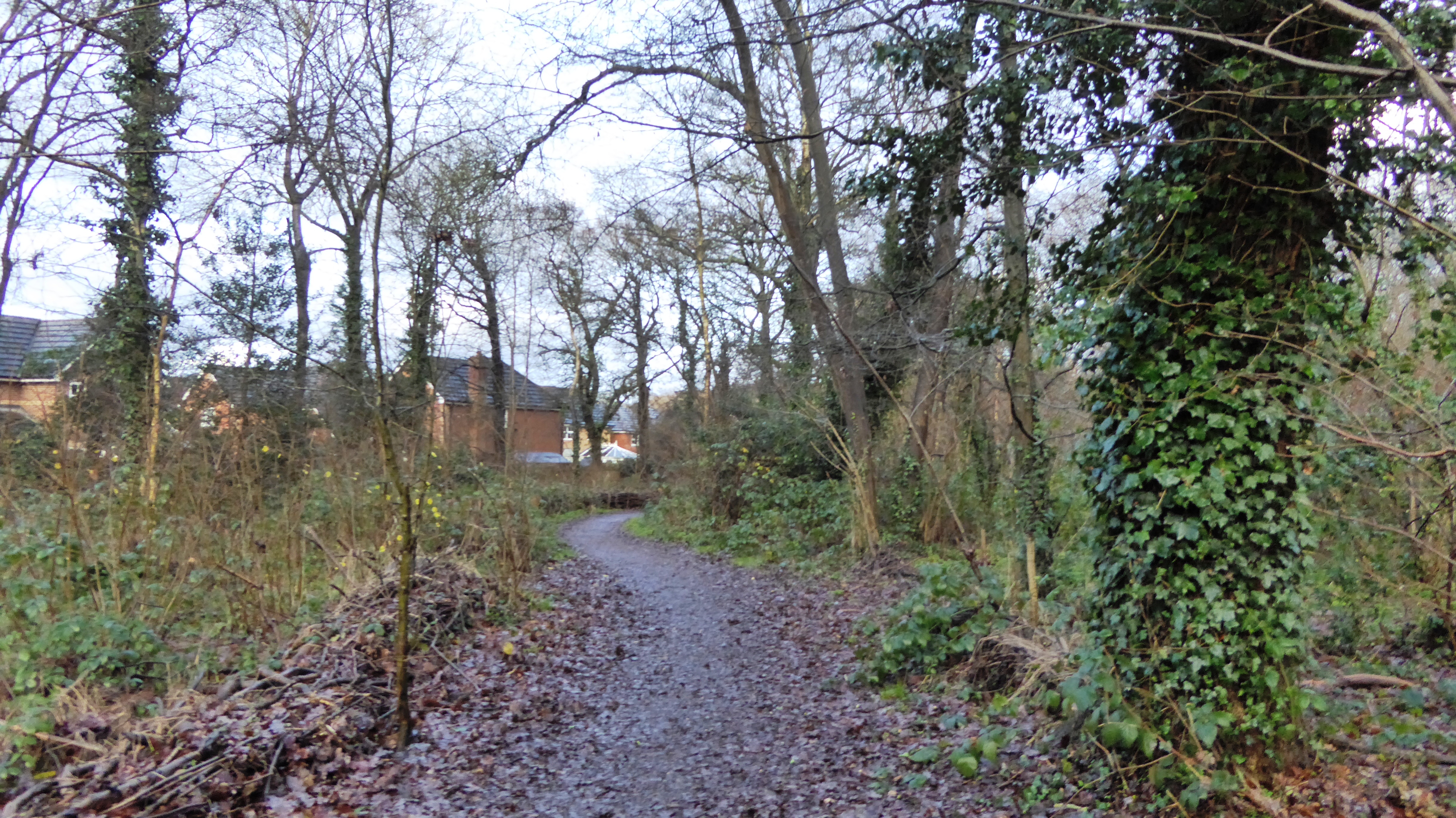
Cabbage Hill Images
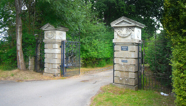
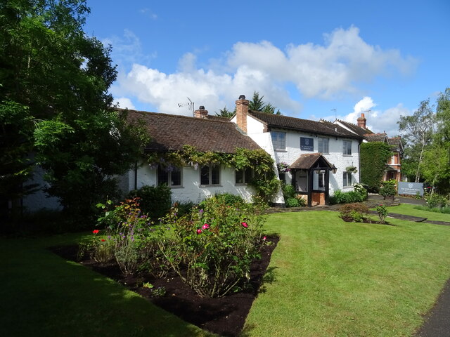
Images are sourced within 2km of 51.434948/-0.7642716 or Grid Reference SU8571. Thanks to Geograph Open Source API. All images are credited.


Cabbage Hill is located at Grid Ref: SU8571 (Lat: 51.434948, Lng: -0.7642716)
Unitary Authority: Bracknell Forest
Police Authority: Thames Valley
What 3 Words
///spill.buddy.riders. Near Binfield, Berkshire
Nearby Locations
Related Wikis
Warfield Hall
Warfield Hall is a Grade II listed building at Warfield in Berkshire. == History == Warfield Hall was originally built in the 1730s and belonged to the...

Berks County F.C.
Berks County Football Club is a football club based in Ascot, England. They are currently members of the Combined Counties League Division One and groundshare...
Binfield F.C.
Binfield Football Club is a football club based in Binfield, near Bracknell, Berkshire, England. Affiliated to the Berks & Bucks Football Association,...
Tinkers Copse
Tinkers Copse is a 1.9-hectare (4.7-acre) Local Nature Reserve on the northwestern outskirts of Bracknell in Berkshire. It is owned and managed by Bracknell...
Nearby Amenities
Located within 500m of 51.434948,-0.7642716Have you been to Cabbage Hill?
Leave your review of Cabbage Hill below (or comments, questions and feedback).