Buttermilk Hill

Hill, Mountain in Surrey Waverley

England

Buttermilk Hill

Lane junction near Bordon A junction of minor lanes in Hampshire countryside, close to the border with Surrey.  A direction sign stands at the junction.  Over time, sap from overhanging trees has dripped onto the sign, partly obscuring it.
Lane junction near Bordon Credit: Malc McDonald

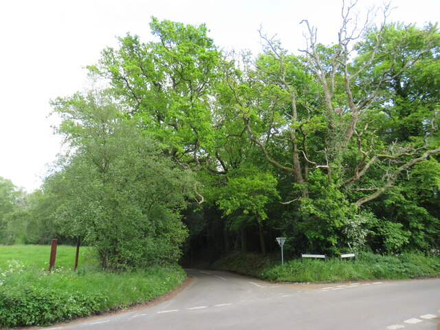
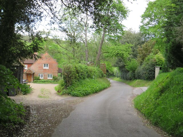
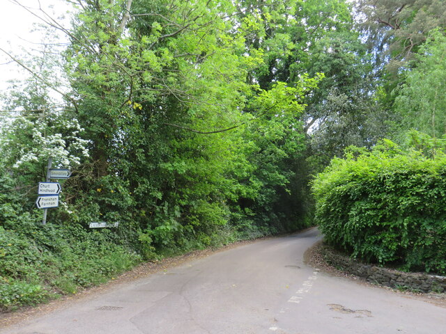
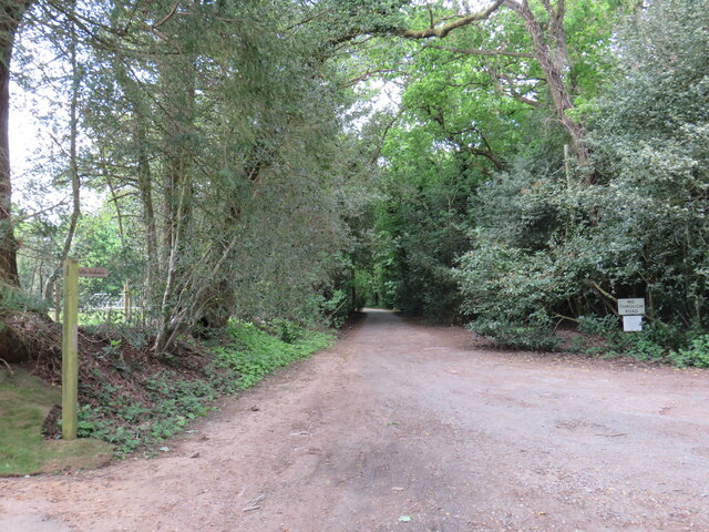
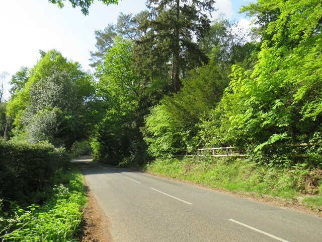
Buttermilk Hill is a small hill located in the county of Surrey, England. Situated in the southeastern part of the country, it is part of the North Downs, a ridge of chalk hills that stretches across several counties.

Rising to an elevation of approximately 200 meters (656 feet), Buttermilk Hill offers stunning panoramic views of the surrounding countryside. Its location within the Surrey Hills Area of Outstanding Natural Beauty makes it a popular destination for hikers, nature enthusiasts, and photographers.

The hill derives its name from the buttermilk, a traditional dairy product made by churning butter from cultured cream. This name suggests a historical association with dairy farming in the area. The landscape surrounding Buttermilk Hill is characterized by rolling green fields, scattered woodlands, and charming rural villages, contributing to its picturesque appeal.

The hill is also home to a variety of flora and fauna, with wildflowers, butterflies, and birds being commonly spotted in the area. Nature lovers can enjoy peaceful walks along the footpaths that crisscross the hill, taking in the fresh air and serene atmosphere.

Despite its relatively modest height, Buttermilk Hill offers a sense of tranquility and escape from the hustle and bustle of nearby urban centers. It is an ideal destination for those seeking a peaceful retreat, a connection with nature, and breathtaking views of the Surrey countryside.

If you have any feedback on the listing, please let us know in the comments section below.

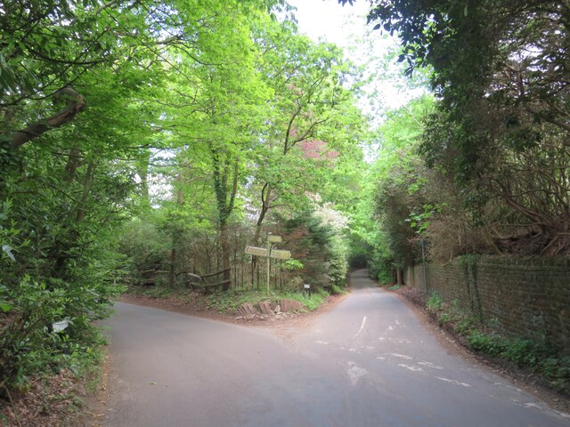
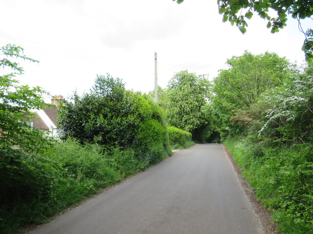
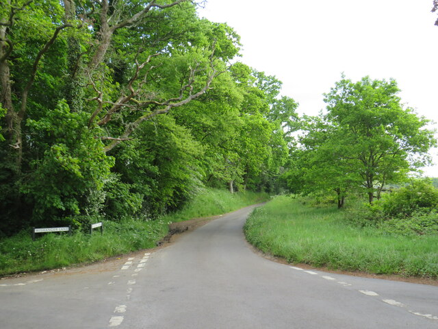
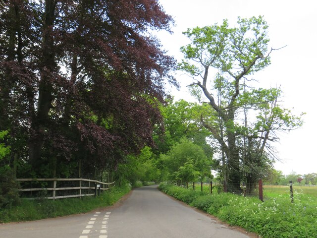
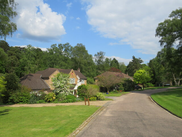
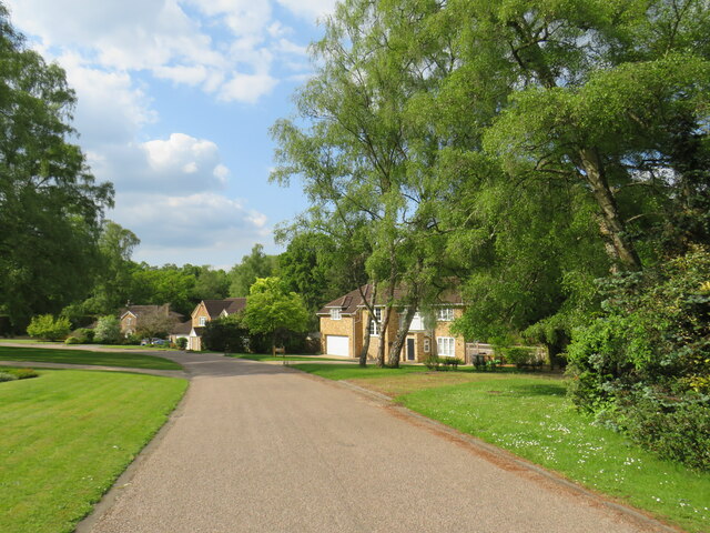
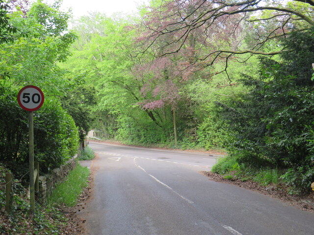
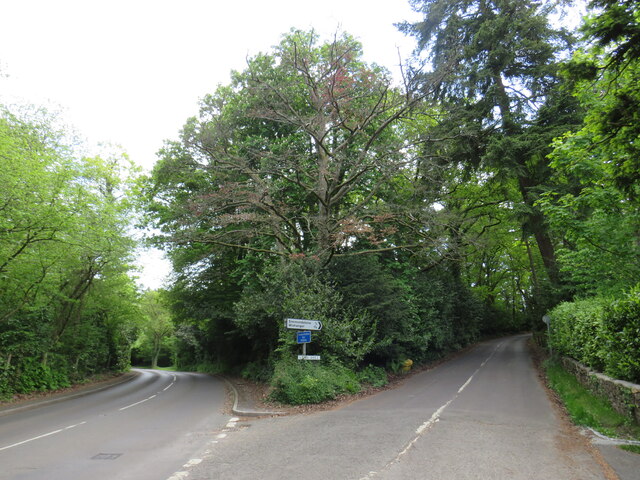
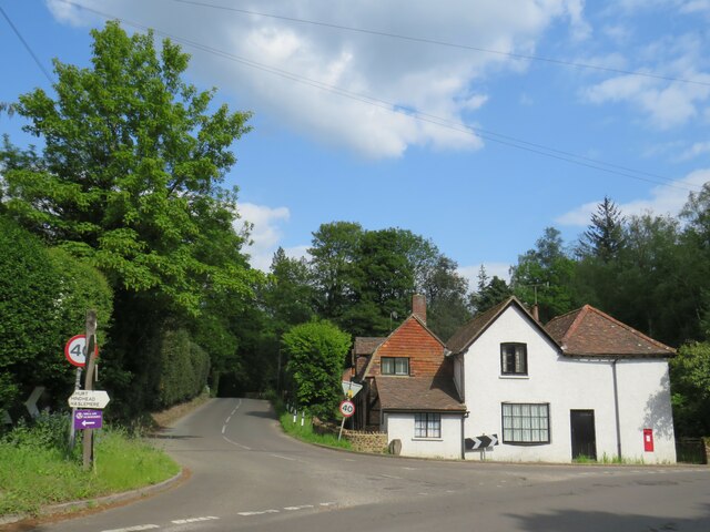
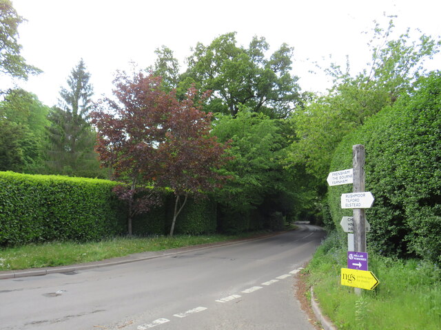
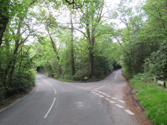
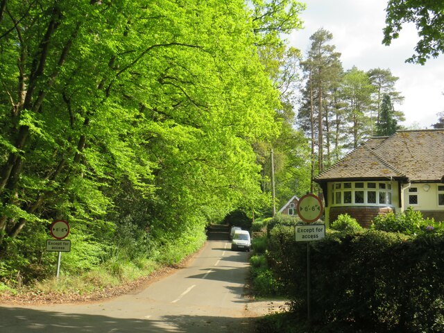
Buttermilk Hill Images

Images are sourced within 2km of 51.14559/-0.7834217 or Grid Reference SU8539. Thanks to Geograph Open Source API. All images are credited.

Lane junction near Bordon A junction of minor lanes in Hampshire countryside, close to the border with Surrey.  A direction sign stands at the junction.  Over time, sap from overhanging trees has dripped onto the sign, partly obscuring it.
Lane junction near Bordon
A junction of minor lanes in Hampshire countryside, close to the border with Surrey. A direction sign stands at the junction. Over time, sap from overhanging trees has dripped onto the sign, partly obscuring it.
Frensham Lane, near Bordon Frensham Lane is a minor road through countryside in Hampshire, close to the border with Surrey.  Here it passes a farm on the left.
Frensham Lane, near Bordon
Frensham Lane is a minor road through countryside in Hampshire, close to the border with Surrey. Here it passes a farm on the left.
Bacon Lane, near Farnham Bacon Lane is a minor lane through countryside on the borers of Hampshire and Surrey.  At this point it is in Hampshire, but will cross the county boundary into Surrey less than a kilometre away.
Bacon Lane, near Farnham
Bacon Lane is a minor lane through countryside on the borers of Hampshire and Surrey. At this point it is in Hampshire, but will cross the county boundary into Surrey less than a kilometre away.
Bacon Lane, near Farnham Bacon Lane is a minor lane through countryside on the borders of Hampshire and Surrey.  Here, it is in Hampshire but will cross the boundary into Surrey about a kilometre ahead.
Bacon Lane, near Farnham
Bacon Lane is a minor lane through countryside on the borders of Hampshire and Surrey. Here, it is in Hampshire but will cross the boundary into Surrey about a kilometre ahead.
Bacon Lane, near Farnham Bacon Lane is a minor lane through countryside on the borders of Hampshire and Surrey.  In this view, it is in Hampshire.
Bacon Lane, near Farnham
Bacon Lane is a minor lane through countryside on the borders of Hampshire and Surrey. In this view, it is in Hampshire.
Wishanger Lane, near Farnham Wishanger Lane is a minor lane through countryside and woodland on the borders of Hampshire and Surrey.  Here, as it disappears into the trees, it is in Hampshire but will cross the boundary into Surrey less than half a kilometre away.
Wishanger Lane, near Farnham
Wishanger Lane is a minor lane through countryside and woodland on the borders of Hampshire and Surrey. Here, as it disappears into the trees, it is in Hampshire but will cross the boundary into Surrey less than half a kilometre away.
Wishanger Lane, near Farnham Wishanger Lane is a minor road through countryside on the borders of Hampshire and Surrey.  Here the lane passes a house on the Hampshire side of the border.  The lane will cross into Surrey about 200 metres further ahead.
Wishanger Lane, near Farnham
Wishanger Lane is a minor road through countryside on the borders of Hampshire and Surrey. Here the lane passes a house on the Hampshire side of the border. The lane will cross into Surrey about 200 metres further ahead.
Lampard Lane, Churt, near Farnham Lampard Lane is a minor lane on the edge of the Surrey village of Churt, very close to the border with Hampshire.
Lampard Lane, Churt, near Farnham
Lampard Lane is a minor lane on the edge of the Surrey village of Churt, very close to the border with Hampshire.
Public bridleway, Churt, near Farnham A public bridleway along a driveway on the edge of the village of Churt, in Surrey.  This location is very close to the border with Hampshire.
Public bridleway, Churt, near Farnham
A public bridleway along a driveway on the edge of the village of Churt, in Surrey. This location is very close to the border with Hampshire.
Star Hill Drive, Churt, near Farnham Star Hill Drive is a residential cul-de-sac on the edge of the village of Churt in Surrey.
Star Hill Drive, Churt, near Farnham
Star Hill Drive is a residential cul-de-sac on the edge of the village of Churt in Surrey.
Star Hill Drive, Churt, near Farnham Star Hill Drive is a residential cul-de-sac on the edge of the village of Churt in Surrey.
Star Hill Drive, Churt, near Farnham
Star Hill Drive is a residential cul-de-sac on the edge of the village of Churt in Surrey.
Star Hill, Churt, near Farnham Star Hill is a minor road on the edge of the village of Churt, in Surrey.  Here, the road approaches a junction with the A287.  The sign to the left of the image is a "repeater" sign reminding motorists that a speed limit of 50 miles per hour applies here.
Star Hill, Churt, near Farnham
Star Hill is a minor road on the edge of the village of Churt, in Surrey. Here, the road approaches a junction with the A287. The sign to the left of the image is a "repeater" sign reminding motorists that a speed limit of 50 miles per hour applies here.
Road junction in Churt, near Farnham A road junction on the edge of the village of Churt in Surrey.  The road to the left is the A287.
Road junction in Churt, near Farnham
A road junction on the edge of the village of Churt in Surrey. The road to the left is the A287.
The Old Post Office, Churt, near Farnham The Old Post Office stands at the corner of Jumps Road in the Surrey village of Churt.  As its name suggests, this building was once a post office.  It stall has a post box in the wall, to the right of the image.

The road passing in the foreground is the A287.
The Old Post Office, Churt, near Farnham
The Old Post Office stands at the corner of Jumps Road in the Surrey village of Churt. As its name suggests, this building was once a post office. It stall has a post box in the wall, to the right of the image. The road passing in the foreground is the A287.
A287 at Churt, near Farnham The A287 road at Churt in Surrey.
A287 at Churt, near Farnham
The A287 road at Churt in Surrey.
Road junction near Farnham A junction of minor roads in woodland, near the Surrey village of Churt.
Road junction near Farnham
A junction of minor roads in woodland, near the Surrey village of Churt.
Crabtree Lane, Churt, near Farnham Crabtree Lane is a minor lane on the edge of the village of Churt in Surrey.

A width restriction of 6 feet and 6 inches applies to prohibit large vehicles from using this road.  Vehicles needing to access properties along this road are exempt from the restriction.
Crabtree Lane, Churt, near Farnham
Crabtree Lane is a minor lane on the edge of the village of Churt in Surrey. A width restriction of 6 feet and 6 inches applies to prohibit large vehicles from using this road. Vehicles needing to access properties along this road are exempt from the restriction.
Jumps Road, Churt, near Farnham Jumps Road is a minor road through woodland on the edge of the village of Churt, in Surrey.
Jumps Road, Churt, near Farnham
Jumps Road is a minor road through woodland on the edge of the village of Churt, in Surrey.
Show me another place!

Buttermilk Hill is located at Grid Ref: SU8539 (Lat: 51.14559, Lng: -0.7834217)

Administrative County: Surrey

District: Waverley

Police Authority: Surrey

What 3 Words

///poorly.reinstate.farms. Near Churt, Surrey

Nearby Locations

Buttermilk Hill Crosswater

Related Wikis

Churt

Churt is a village and civil parish in the borough of Waverley in Surrey, England, about 5.5 miles (8.9 km) south of the town of Farnham on the A287 road...

Devil's Jumps, Churt

The Devil's Jumps are a series of three small hills near the village of Churt in the county of Surrey in southern England. In the 18th century, the hills...

Barford, Hampshire

Barford is a scattered hamlet in the civil parish of Headley in the East Hampshire district of Hampshire, England. The village lies on the Hampshire-Surrey...

Frensham

Frensham is a village in Surrey, England, next to the A287 road, 13 miles (20.9 km) WSW of Guildford, the county town. Frensham lies on the right bank...

Nearby Amenities

Located within 500m of 51.14559,-0.7834217
Churt House
Building: yes
Source: npe
Lat/Long: 51.1479469/-0.7876376
Bus Stop
Churt House
Bus: yes
Naptan AtcoCode: 40004411968A
Naptan Bearing: N
Naptan CommonName: Churt House
Naptan Indicator: Opp
Naptan Landmark: Churt House
Naptan NaptanCode: surgmtgd
Naptan Street: Churt Road
Naptan Verified: no
Public Transport: platform
Source: naptan_import
Lat/Long: 51.148023/-0.7885209
Bus Stop
Churt House
Bus: yes
Naptan AtcoCode: 40004411969A
Naptan Bearing: S
Naptan CommonName: Churt House
Naptan Indicator: Just after
Naptan Landmark: Churt House
Naptan NaptanCode: surgmtgj
Naptan Street: Churt Road
Naptan Verified: no
Public Transport: platform
Source: naptan_import
Lat/Long: 51.1474722/-0.7883066
Post Box
Lat/Long: 51.1443917/-0.7848933
The data included in this document is from www.openstreetmap.org. The data is made available under ODbL.

Have you been to Buttermilk Hill?

Leave your review of Buttermilk Hill below (or comments, questions and feedback).