Costa Hill

Hill, Mountain in Lincolnshire South Kesteven

England

Costa Hill

Elm Close, Long Bennington At the junction of Great North Road
Elm Close, Long Bennington Credit: David Howard

Costa Hill is a small hill located in the county of Lincolnshire, England. Situated near the village of Costa, the hill offers stunning views of the surrounding countryside and is a popular destination for outdoor enthusiasts and nature lovers.

Despite its name, Costa Hill is not a mountain but rather a modestly sized hill, standing at approximately 150 meters above sea level. It is characterized by its gentle slopes, covered in lush green grass and dotted with patches of wildflowers during the summer months.

The hill is composed of limestone, which gives it a unique geological makeup and contributes to its distinctive appearance. It is believed to have been formed during the last Ice Age, as glacial activity shaped the landscape of the region.

Costa Hill is home to a variety of wildlife, including rabbits, hares, and various bird species. It also boasts a diverse range of plant life, with heather, gorse, and bracken being prevalent.

The hill is easily accessible, with a footpath leading to its summit, allowing visitors to enjoy panoramic views of the surrounding Lincolnshire Wolds Area of Outstanding Natural Beauty. On a clear day, it is possible to see as far as the coastline and even catch a glimpse of the Humber Estuary.

Overall, Costa Hill provides a tranquil and picturesque setting for visitors to immerse themselves in nature and enjoy the beauty of the Lincolnshire countryside.

If you have any feedback on the listing, please let us know in the comments section below.
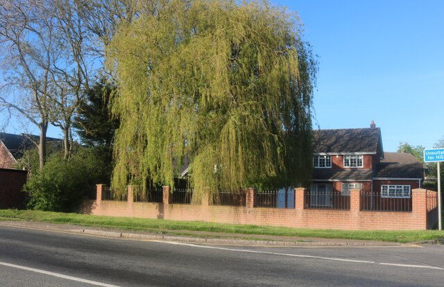
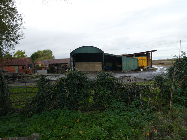
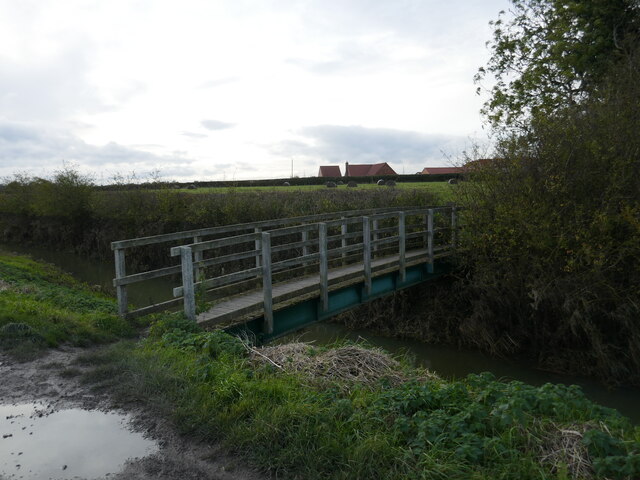
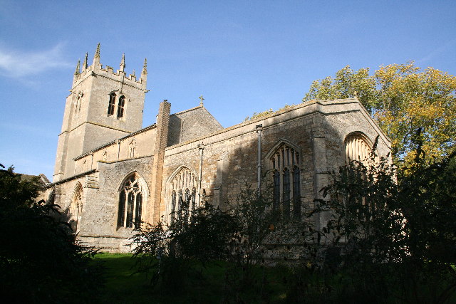
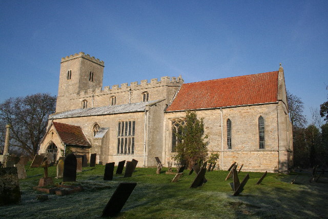
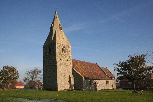
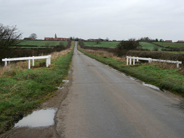
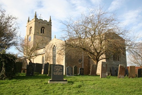
Costa Hill Images

Images are sourced within 2km of 52.993917/-0.76118403 or Grid Reference SK8344. Thanks to Geograph Open Source API. All images are credited.

Elm Close, Long Bennington At the junction of Great North Road
Elm Close, Long Bennington
At the junction of Great North Road
Acklands Lane at the junction of Great North Road Great North Road pops up along the length of the A1 and old A1, and the first is in East Finchley on the now A1000.
Acklands Lane at the junction of Great North Road
Great North Road pops up along the length of the A1 and old A1, and the first is in East Finchley on the now A1000.
Willow tree on Main Road, Long Bennington
Main Road, Long Bennington
Town Street, Westborough
Bennington Lane, Long Bennington
The entrance to Long Bennington sewage works There's no sign there but you can follow your nose.
The entrance to Long Bennington sewage works
There's no sign there but you can follow your nose.
Bus shelter in Westborough
Slip road from the A1 to Long Bennington
46 Church Street, Long Bennington Seventeenth century cottage <span class="nowrap"><a title="https://historicengland.org.uk/listing/the-list/list-entry/1360068?section=official-list-entry" rel="nofollow ugc noopener" href="https://historicengland.org.uk/listing/the-list/list-entry/1360068?section=official-list-entry">Link</a><img style="margin-left:2px;" alt="External link" title="External link - shift click to open in new window" src="https://s1.geograph.org.uk/img/external.png" width="10" height="10"/></span>
46 Church Street, Long Bennington
Seventeenth century cottage LinkExternal link
Cottage, Church Street, Long Bennington
33 Church Street, Long Bennington
Entrance to St Swithun's church, Long Bennington
St Swithun's church, Long Bennington Externally largely of the fifteenth century <span class="nowrap"><a title="https://historicengland.org.uk/listing/the-list/list-entry/1062891?section=official-list-entry" rel="nofollow ugc noopener" href="https://historicengland.org.uk/listing/the-list/list-entry/1062891?section=official-list-entry">Link</a><img style="margin-left:2px;" alt="External link" title="External link - shift click to open in new window" src="https://s1.geograph.org.uk/img/external.png" width="10" height="10"/></span>
St Swithun's church, Long Bennington
Externally largely of the fifteenth century LinkExternal link
Buildings at Priory Farm, Long Bennington
Footpath towards Foston
Footbridge over Ease Drain
Footpath towards Foston
Show me another place!

Costa Hill is located at Grid Ref: SK8344 (Lat: 52.993917, Lng: -0.76118403)

Administrative County: Lincolnshire

District: South Kesteven

Police Authority: Lincolnshire

What 3 Words

///situation.ships.tunnel. Near Long Bennington, Lincolnshire

Related Wikis

Long Bennington

Long Bennington is a linear village and civil parish in South Kesteven district of Lincolnshire, England, just off the A1 road, 7 miles (11 km) north of...

Long Bennington Priory

Long Bennington Priory was a priory in Lincolnshire, England. The church at Long Bennington was granted by Ralf de Fougères, to the Cistercian abbey of...

East Midlands

The East Midlands is one of nine official regions of England at the first level of ITL for statistical purposes. It comprises the eastern half of the area...

Westborough, Lincolnshire

Westborough is a village in the South Kesteven district of Lincolnshire, England. It is situated 1 mile (1.6 km) east from the A1 road and Long Bennington...

Dry Doddington

Dry Doddington is a small village in the north-west of the South Kesteven district of Lincolnshire, England within the civil parish of Westborough and...

Westborough and Dry Doddington

Westborough and Dry Doddington is a civil parish in the north-west of South Kesteven in the county of Lincolnshire. The population of the civil parish...

Staunton, Nottinghamshire

Staunton (also known as Staunton-in-the-Vale) is a small village and civil parish in the Newark and Sherwood district of Nottinghamshire, England. It takes...

Foston, Lincolnshire

Foston is a village and a civil parish in the South Kesteven district of Lincolnshire, England. The village is situated 5 miles (8 km) northwest of Grantham...

Nearby Amenities

Located within 500m of 52.993917,-0.76118403
Long Bennington
Is In: Lincolnshire, England, UK
Place: village
Source: NPE
Lat/Long: 52.9920803/-0.7569752
Created By: Merkaartor 0.12
Lat/Long: 52.9924834/-0.7646816
Created By: Merkaartor 0.12
Lat/Long: 52.995202/-0.7617439
LONGBENNINGTONG2
Disused: yes
Man Made: petroleum_well
Ref GB Decc: LO/02-3
Source: DECC
Lat/Long: 52.9925/-0.7679444
Motorway Junction
Lat/Long: 52.9956587/-0.7642341
Created By: Merkaartor 0.12
Lat/Long: 52.9957542/-0.760728
Bus Stop
Village Hall
Bus: yes
Naptan AtcoCode: 270000008557
Naptan Bearing: S
Naptan CommonName: Village Hall
Naptan Indicator: opp
Naptan Landmark: Village Hall
Naptan NaptanCode: lingtgjp
Naptan Street: Main Road
Naptan Verified: no
Public Transport: platform
Source: naptan_import
Lat/Long: 52.9944428/-0.7585229
Bus Stop
The Reindeer PH
Bus: yes
Naptan AtcoCode: 270000008558
Naptan Bearing: NW
Naptan CommonName: The Reindeer PH
Naptan Indicator: opp
Naptan Landmark: The Reindeer PH
Naptan NaptanCode: lingtgjt
Naptan Street: Main Road
Naptan Verified: no
Public Transport: platform
Source: naptan_import
Lat/Long: 52.9911006/-0.7569948
Bus Stop
The Reindeer PH
Bus: yes
Naptan AtcoCode: 270000008559
Naptan Bearing: SE
Naptan CommonName: The Reindeer PH
Naptan Indicator: adj
Naptan Landmark: The Reindeer PH
Naptan NaptanCode: lingtgjw
Naptan Street: Main Road
Naptan Verified: no
Public Transport: platform
Source: naptan_import
Lat/Long: 52.991116/-0.756756
Bus Stop
Village Hall
Bus: yes
Naptan AtcoCode: 2700LLBR2440
Naptan Bearing: N
Naptan CommonName: Village Hall
Naptan Indicator: adj
Naptan Landmark: Village Hall
Naptan NaptanCode: linatagp
Naptan Street: Main Road
Naptan Verified: no
Public Transport: platform
Source: naptan_import
Lat/Long: 52.9945443/-0.7587733
Pub
The Royal Oak
Addr City: Newark
Addr Housenumber: 74
Addr Postcode: NG23 5DJ
Addr Street: Main Road
Addr Suburb: Long Bennington
Fhrs Authority: South Kesteven
Fhrs Id: 238370
Fhrs Local Authority Id: 5221
Lat/Long: 52.9949805/-0.7581339
The Wheatsheaf
Disused Amenity: pub
Note: Currently being refurbished
Source: survey
Lat/Long: 52.9974859/-0.7577261
Place Of Worship
Lat/Long: 52.9931593/-0.7580084
Parking
Description: Large patch of gravel
Ele: 24.3989258
Lat/Long: 52.9920088/-0.7653469
Parking
Access: yes
Ele: 19
Fee: no
Parking: layby
Lat/Long: 52.9912704/-0.7638886
Description: Mobile phone mast
Man Made: tower
Lat/Long: 52.9921008/-0.7647729
Pub
The Reindeer
Addr City: Newark
Addr Housenumber: 22
Addr Postcode: NG23 5EH
Addr Street: Main Road
Addr Suburb: Long Bennington
Ele: 17.0
Fhrs Authority: South Kesteven
Fhrs Id: 237592
Fhrs Local Authority Id: 5207
Lat/Long: 52.9914251/-0.7567972
Ele: 16.0000000
Lat/Long: 52.9924972/-0.7633847
Ele: 19.0000000
Lat/Long: 52.9919999/-0.7634384
Parking
Access: yes
Description: Layby
Fee: no
Parking: street_side
Lat/Long: 52.9934398/-0.7639537
Ele: 28
Lat/Long: 52.9948758/-0.7605691
Ele: 28
Lat/Long: 52.9942149/-0.7611404
Ele: 27
Lat/Long: 52.9942028/-0.7619284
Barrier: block
Lat/Long: 52.9922849/-0.7648004
The Blossom Tree
Shop: hairdresser
Lat/Long: 52.9969936/-0.758593
Alma Farm
Place: farm
Source: Bing
Lat/Long: 52.9911337/-0.7561734
Coata Row Farm
Place: farm
Source: Bing
Lat/Long: 52.9963342/-0.7612147
Costa HIll
Place: locality
Source: Bing
Lat/Long: 52.9948043/-0.7630562
Elm Farm
Place: farm
Source: Bing
Lat/Long: 52.9926345/-0.7555679
Lincolnshire Co-op
Addr City: Newark
Addr Housenumber: 27
Addr Postcode: NG23 5DJ
Addr Street: Main Road
Addr Suburb: Long Bennington
Brand: Lincolnshire Co-op
Brand Wikidata: Q6551231
Fhrs Authority: South Kesteven
Fhrs Id: 749756
Fhrs Local Authority Id: 86406
Shop: supermarket
Lat/Long: 52.9936722/-0.7591785
Generator Method: photovoltaic
Generator Output Electricity: yes
Generator Source: solar
Generator Type: solar_photovoltaic_panel
Location: roof
Power: generator
Lat/Long: 52.9968937/-0.7566865
Generator Method: photovoltaic
Generator Output Electricity: yes
Generator Source: solar
Generator Type: solar_photovoltaic_panel
Location: roof
Power: generator
Lat/Long: 52.9968808/-0.7569091
Generator Method: photovoltaic
Generator Output Electricity: yes
Generator Source: solar
Generator Type: solar_photovoltaic_panel
Location: roof
Power: generator
Lat/Long: 52.9969566/-0.7571371
Generator Method: photovoltaic
Generator Output Electricity: yes
Generator Source: solar
Generator Type: solar_photovoltaic_panel
Location: roof
Power: generator
Lat/Long: 52.9968969/-0.7601572
Generator Method: photovoltaic
Generator Output Electricity: yes
Generator Source: solar
Generator Type: solar_photovoltaic_panel
Location: roof
Power: generator
Lat/Long: 52.9957427/-0.7602538
Generator Method: photovoltaic
Generator Output Electricity: yes
Generator Source: solar
Generator Type: solar_photovoltaic_panel
Location: roof
Power: generator
Lat/Long: 52.9951066/-0.7608922
Generator Method: photovoltaic
Generator Output Electricity: yes
Generator Source: solar
Generator Type: solar_photovoltaic_panel
Location: roof
Power: generator
Lat/Long: 52.994661/-0.761839
Generator Method: photovoltaic
Generator Output Electricity: yes
Generator Source: solar
Generator Type: solar_photovoltaic_panel
Location: roof
Power: generator
Lat/Long: 52.9946142/-0.7618819
Generator Method: photovoltaic
Generator Output Electricity: yes
Generator Source: solar
Generator Type: solar_photovoltaic_panel
Location: roof
Power: generator
Lat/Long: 52.994033/-0.7621179
Generator Method: photovoltaic
Generator Output Electricity: yes
Generator Source: solar
Generator Type: solar_photovoltaic_panel
Location: roof
Power: generator
Lat/Long: 52.9939798/-0.7619892
Generator Method: photovoltaic
Generator Output Electricity: yes
Generator Source: solar
Generator Type: solar_photovoltaic_panel
Location: roof
Power: generator
Lat/Long: 52.993899/-0.7624291
Generator Method: photovoltaic
Generator Output Electricity: yes
Generator Source: solar
Generator Type: solar_photovoltaic_panel
Location: roof
Power: generator
Lat/Long: 52.99387/-0.762413
Generator Method: photovoltaic
Generator Output Electricity: yes
Generator Source: solar
Generator Type: solar_photovoltaic_panel
Location: roof
Power: generator
Lat/Long: 52.9937667/-0.7622333
Generator Method: photovoltaic
Generator Output Electricity: yes
Generator Source: solar
Generator Type: solar_photovoltaic_panel
Location: roof
Power: generator
Lat/Long: 52.993778/-0.7623003
Generator Method: photovoltaic
Generator Output Electricity: yes
Generator Source: solar
Generator Type: solar_photovoltaic_panel
Location: roof
Power: generator
Lat/Long: 52.9937457/-0.7607607
Generator Method: photovoltaic
Generator Output Electricity: yes
Generator Source: solar
Generator Type: solar_photovoltaic_panel
Location: roof
Power: generator
Lat/Long: 52.9937376/-0.7608412
Generator Method: photovoltaic
Generator Output Electricity: yes
Generator Source: solar
Generator Type: solar_photovoltaic_panel
Location: roof
Power: generator
Lat/Long: 52.9925316/-0.7600044
Generator Method: photovoltaic
Generator Output Electricity: yes
Generator Source: solar
Generator Type: solar_photovoltaic_panel
Location: roof
Power: generator
Lat/Long: 52.9924412/-0.7596047
Generator Method: photovoltaic
Generator Output Electricity: yes
Generator Source: solar
Generator Type: solar_photovoltaic_panel
Location: roof
Power: generator
Lat/Long: 52.9924702/-0.7594652
Generator Method: photovoltaic
Generator Output Electricity: yes
Generator Source: solar
Generator Type: solar_photovoltaic_panel
Location: roof
Power: generator
Lat/Long: 52.992044/-0.7610102
Generator Method: photovoltaic
Generator Output Electricity: yes
Generator Source: solar
Generator Type: solar_photovoltaic_panel
Location: roof
Power: generator
Lat/Long: 52.9915161/-0.7599856
Generator Method: photovoltaic
Generator Output Electricity: yes
Generator Source: solar
Generator Type: solar_photovoltaic_panel
Location: roof
Power: generator
Lat/Long: 52.9911609/-0.757868
Generator Method: photovoltaic
Generator Output Electricity: yes
Generator Source: solar
Generator Type: solar_photovoltaic_panel
Location: roof
Power: generator
Lat/Long: 52.9911867/-0.7579283
Generator Method: photovoltaic
Generator Output Electricity: yes
Generator Source: solar
Generator Type: solar_photovoltaic_panel
Location: roof
Power: generator
Lat/Long: 52.9911827/-0.7579578
Generator Method: photovoltaic
Generator Output Electricity: yes
Generator Source: solar
Generator Type: solar_photovoltaic_panel
Location: roof
Power: generator
Lat/Long: 52.9945398/-0.7597522
Generator Method: photovoltaic
Generator Output Electricity: yes
Generator Source: solar
Generator Type: solar_photovoltaic_panel
Location: roof
Power: generator
Lat/Long: 52.9959734/-0.7576574
Generator Method: photovoltaic
Generator Output Electricity: yes
Generator Source: solar
Generator Type: solar_photovoltaic_panel
Location: roof
Power: generator
Lat/Long: 52.9954293/-0.7572685
Generator Method: photovoltaic
Generator Output Electricity: yes
Generator Source: solar
Generator Type: solar_photovoltaic_panel
Location: roof
Power: generator
Lat/Long: 52.9942137/-0.7565711
Generator Method: photovoltaic
Generator Output Electricity: yes
Generator Source: solar
Generator Type: solar_photovoltaic_panel
Location: roof
Power: generator
Lat/Long: 52.9919906/-0.7566811
Generator Method: photovoltaic
Generator Output Electricity: yes
Generator Source: solar
Generator Type: solar_photovoltaic_panel
Location: roof
Power: generator
Lat/Long: 52.9919583/-0.7545622
Crossing
Lat/Long: 52.9935724/-0.7583047
Give Way
Direction: forward
Lat/Long: 52.9977565/-0.758179
Crossing
Lat/Long: 52.9948226/-0.7583721
Give Way
Direction: backward
Lat/Long: 52.9970238/-0.7584007
Give Way
Direction: forward
Lat/Long: 52.9971349/-0.7589789
Give Way
Direction: forward
Lat/Long: 52.9921441/-0.7558041
Give Way
Direction: backward
Lat/Long: 52.9915997/-0.7572257
Doctors
Long Bennington Medical Centre
Lat/Long: 52.9982112/-0.7601112
Fast Food
Sharricks Fish Bar
Addr City: Newark
Addr Housenumber: 46
Addr Postcode: NG23 5DJ
Addr Street: Main Road
Addr Suburb: Long Bennington
Fhrs Authority: South Kesteven
Fhrs Id: 238904
Fhrs Local Authority Id: 6622
Lat/Long: 52.9931284/-0.7581076
Fast Food
Ashiana
Addr City: Newark
Addr Housenumber: 46
Addr Postcode: NG23 5DJ
Addr Street: Main Road
Addr Suburb: Long Bennington
Fhrs Authority: South Kesteven
Fhrs Id: 989539
Fhrs Local Authority Id: 87335
Lat/Long: 52.9931615/-0.7581237
Cafe
Baker's at sixtytwo
Addr City: Newark
Addr Housenumber: 62
Addr Postcode: NG23 5DJ
Addr Street: Main Road
Addr Suburb: Long Bennington
Fhrs Authority: South Kesteven
Fhrs Id: 535579
Fhrs Local Authority Id: 85106
Lat/Long: 52.9940833/-0.7582203
Kindergarten
Long Bennington Pre-School
Addr City: Newark
Addr Housename: St James Hall
Addr Postcode: NG23 5DJ
Addr Street: Main Road
Addr Suburb: Long Bennington
Fhrs Authority: South Kesteven
Fhrs Id: 237822
Fhrs Local Authority Id: 6603
Lat/Long: 52.9944651/-0.7591738
Defibrillator
Emergency: defibrillator
Lat/Long: 52.9945119/-0.7591605
Kindergarten
Kings Farm Day Nursery
Addr City: Newark
Addr Housenumber: 19
Addr Postcode: NG23 5DW
Addr Street: Winters Lane
Addr Suburb: Long Bennington
Fhrs Authority: South Kesteven
Fhrs Id: 238192
Fhrs Local Authority Id: 5256
Lat/Long: 52.996521/-0.7551974
Post Box
Lat/Long: 52.9969424/-0.7584992
Restaurant
Whittakers Bar and Restaurant
Addr City: Newark
Addr Housenumber: 96
Addr Postcode: NG23 5DJ
Addr Street: Main Road
Addr Suburb: Long Bennington
Fhrs Authority: South Kesteven
Fhrs Id: 238473
Fhrs Local Authority Id: 5223
Lat/Long: 52.9977205/-0.7578206
The data included in this document is from www.openstreetmap.org. The data is made available under ODbL.

Have you been to Costa Hill?

Leave your review of Costa Hill below (or comments, questions and feedback).