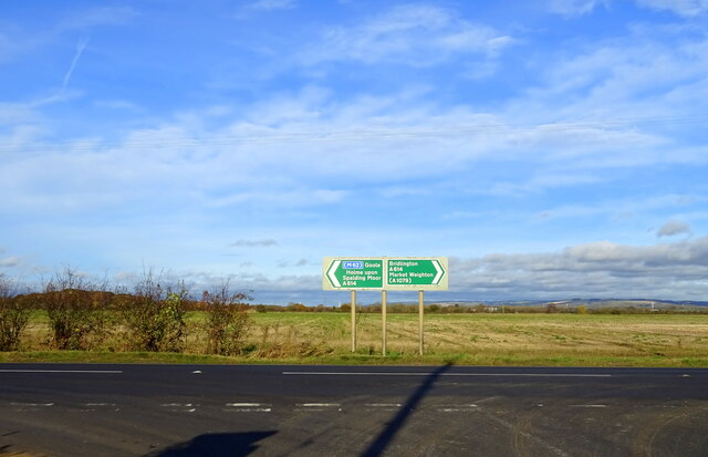
Anthony's Hill
Hill, Mountain in Yorkshire
England
Anthony's Hill

Located in the picturesque region of Yorkshire, Anthony's Hill stands as a prominent natural landmark in the landscape. Rising majestically to an elevation of 750 meters, this hill is considered one of the highest peaks in the area, offering breathtaking panoramic views of the surrounding countryside.
Anthony's Hill is characterized by its rugged terrain, featuring steep slopes and rocky outcrops that add to its dramatic appeal. The hill is covered with a rich variety of vegetation, ranging from lush green meadows to patches of heather and bracken that add vibrant colors to the landscape, particularly during the summer months.
Hikers and nature enthusiasts are drawn to Anthony's Hill due to the plethora of trails that crisscross its slopes, offering ample opportunities for exploration and adventure. These trails cater to all levels of experience, from gentle walks suitable for families to more challenging routes that test the skills of seasoned hikers.
The hill is also home to a diverse range of wildlife, including various species of birds, mammals, and insects. It serves as an important habitat for a variety of bird species, making it a popular destination for birdwatchers and nature photographers.
Due to its elevated position, Anthony's Hill is often subject to unpredictable weather conditions. Visitors are advised to come prepared with appropriate clothing and equipment, as the hill can experience strong winds and sudden changes in temperature.
Overall, Anthony's Hill offers a captivating natural experience, combining stunning views, diverse flora and fauna, and thrilling outdoor activities. Whether one seeks solitude in nature or an exhilarating adventure, this hill in Yorkshire promises an unforgettable experience.
If you have any feedback on the listing, please let us know in the comments section below.
Anthony's Hill Images
Images are sourced within 2km of 53.84897/-0.74536776 or Grid Reference SE8239. Thanks to Geograph Open Source API. All images are credited.
Anthony's Hill is located at Grid Ref: SE8239 (Lat: 53.84897, Lng: -0.74536776)
Division: East Riding
Unitary Authority: East Riding of Yorkshire
Police Authority: Humberside
What 3 Words
///snow.joked.modem. Near Market Weighton, East Yorkshire
Nearby Locations
Related Wikis
Everingham railway station
Everingham railway station was a station on the Selby to Driffield Line in the East Riding of Yorkshire, England serving the hamlet of Harswell. It opened...
Harswell
Harswell is a village and former civil parish, now in the parish of Everingham, in the East Riding of Yorkshire, England. It is approximately 3.5 miles...
Holme Hall, East Riding of Yorkshire
Holme Hall is a grade II* listed 18th-century country house in Holme-on-Spalding-Moor, East Riding of Yorkshire, England. It was then a Sue Ryder Care...
Holme-on-Spalding-Moor
Holme-on-Spalding-Moor (also known as Holme-upon-Spalding-Moor) is a large village and civil parish in the East Riding of Yorkshire, England. It is situated...
Nearby Amenities
Located within 500m of 53.84897,-0.74536776Have you been to Anthony's Hill?
Leave your review of Anthony's Hill below (or comments, questions and feedback).


