Barnby

Settlement in Suffolk East Suffolk

England

Barnby

Acheulean-mousterian cordate hand-axe The axe which measures 78mm x 65mm was found near this spot in 1980 and was identified by Norwich museum as being about 160,000 years old. The general location can be seen here <a title="https://www.geograph.org.uk/photo/6946241" href="https://www.geograph.org.uk/photo/6946241">Link</a>
Acheulean-mousterian cordate hand-axe Credit: Adrian S Pye

Barnby is a small village located in the county of Suffolk, England. Situated approximately 8 miles south of the market town of Beccles, it is nestled in the heart of the Waveney Valley, an area known for its picturesque countryside and scenic beauty.

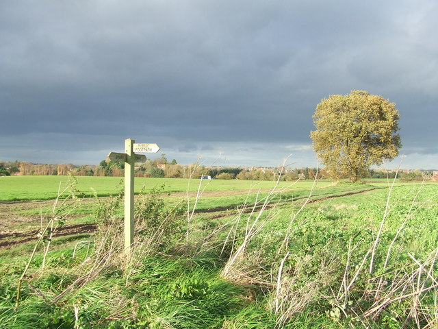
With a population of around 200 people, Barnby is a close-knit and tight community. The village is surrounded by charming farmland and is dotted with traditional cottages and farmhouses. The River Waveney, which flows through the village, adds to its idyllic charm.

Barnby is well-connected to nearby towns and cities. The A146 road, which runs through the village, provides easy access to Norwich, the capital city of Norfolk, and Lowestoft, Suffolk's largest town. The village is also served by regular bus services, making it convenient for residents to travel.

Despite its small size, Barnby has a strong sense of community spirit. The village has a local pub, The Plough Inn, which serves as a gathering place for residents and visitors alike. Barnby also has a village hall, where various events and activities take place throughout the year, fostering a sense of togetherness among its residents.

Nature lovers will find plenty to explore in Barnby and its surrounding areas. The nearby River Waveney offers opportunities for boating, fishing, and scenic walks along its banks. The village is also close to the Waveney Forest, a woodland area that provides endless possibilities for outdoor activities such as hiking and birdwatching.

In conclusion, Barnby is a delightful village in Suffolk, offering a peaceful and rural lifestyle, beautiful natural surroundings, and a strong sense of community.

If you have any feedback on the listing, please let us know in the comments section below.
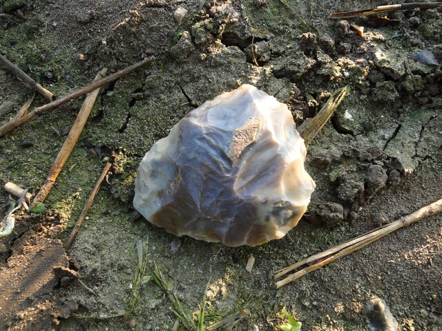
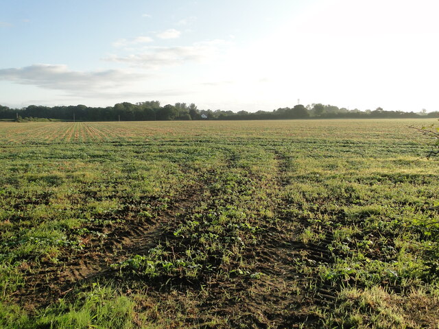
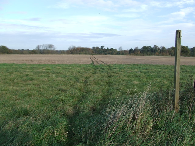
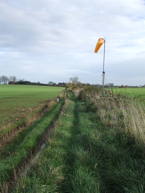
Barnby Images

Images are sourced within 2km of 52.448931/1.642019 or Grid Reference TM4789. Thanks to Geograph Open Source API. All images are credited.

Acheulean-mousterian cordate hand-axe The axe which measures 78mm x 65mm was found near this spot in 1980 and was identified by Norwich museum as being about 160,000 years old. The general location can be seen here <a title="https://www.geograph.org.uk/photo/6946241" href="https://www.geograph.org.uk/photo/6946241">Link</a>
Acheulean-mousterian cordate hand-axe
The axe which measures 78mm x 65mm was found near this spot in 1980 and was identified by Norwich museum as being about 160,000 years old. The general location can be seen here Link
Field at North Cove A flint hand axe was found in this field in 1980 <a href="https://www.geograph.org.uk/photo/6946234">TM4689 : Acheulean-mousterian cordate hand-axe</a>
Field at North Cove
A flint hand axe was found in this field in 1980 TM4689 : Acheulean-mousterian cordate hand-axe
St John the Baptist Cemetery
Pond & Pond Farm View of pond adjacent to Pond Farm (right) looking down Mutford Wood (lane) towards St John the Baptist at Barnby.
Pond & Pond Farm
View of pond adjacent to Pond Farm (right) looking down Mutford Wood (lane) towards St John the Baptist at Barnby.
Church of St. Andrew, Mutford <span class="nowrap"><a title="https://historicengland.org.uk/listing/the-list/list-entry/1032081?section=official-list-entry" rel="nofollow ugc noopener" href="https://historicengland.org.uk/listing/the-list/list-entry/1032081?section=official-list-entry">Link</a><img style="margin-left:2px;" alt="External link" title="External link - shift click to open in new window" src="https://s1.geograph.org.uk/img/external.png" width="10" height="10"/></span>
Church of St. Andrew, Mutford
Mutford War Memorial <span class="nowrap"><a title="https://historicengland.org.uk/listing/the-list/list-entry/1458638?section=official-list-entry" rel="nofollow ugc noopener" href="https://historicengland.org.uk/listing/the-list/list-entry/1458638?section=official-list-entry">Link</a><img style="margin-left:2px;" alt="External link" title="External link - shift click to open in new window" src="https://s1.geograph.org.uk/img/external.png" width="10" height="10"/></span>
Mutford War Memorial
Footpath Footpath across a field near to North Cove, Suffolk.
Footpath
Footpath across a field near to North Cove, Suffolk.
Path And Wind Sock Footpath and wind sock near to North Cove, Suffolk.
Path And Wind Sock
Footpath and wind sock near to North Cove, Suffolk.
Footpath And Sign Footpath and sign near to North Cove, Suffolk.
Footpath And Sign
Footpath and sign near to North Cove, Suffolk.
Footpath And Dark Skies Footpath and dark skies near to Barnby, Suffolk.
Footpath And Dark Skies
Footpath and dark skies near to Barnby, Suffolk.
Green Track Dark Skies Green footpath and dark Skies near to Barnby, Suffolk.
Green Track Dark Skies
Green footpath and dark Skies near to Barnby, Suffolk.
Footpath Junction Footpath junction near to Barnby, Suffolk.
Footpath Junction
Footpath junction near to Barnby, Suffolk.
Across Field Of Beet Footpath across a field of Sugar Beet near to Mutford, Suffolk.
Across Field Of Beet
Footpath across a field of Sugar Beet near to Mutford, Suffolk.
St Andrew Mutford The church of St Andrew, Mutford, Suffolk; for info on the church see <span class="nowrap"><a title="http://www.suffolkchurches.co.uk/mutford.htm" rel="nofollow ugc noopener" href="http://www.suffolkchurches.co.uk/mutford.htm">Link</a><img style="margin-left:2px;" alt="External link" title="External link - shift click to open in new window" src="https://s1.geograph.org.uk/img/external.png" width="10" height="10"/></span> and for other view see <a title="https://www.geograph.org.uk/photo/4747110" href="https://www.geograph.org.uk/photo/4747110">Link</a>
St Andrew Mutford
The church of St Andrew, Mutford, Suffolk; for info on the church see LinkExternal link and for other view see Link
St. Andrew Mutford The church of St Andrew, Mutford, Suffolk for info on the church see <span class="nowrap"><a title="http://www.suffolkchurches.co.uk/mutford.htm" rel="nofollow ugc noopener" href="http://www.suffolkchurches.co.uk/mutford.htm">Link</a><img style="margin-left:2px;" alt="External link" title="External link - shift click to open in new window" src="https://s1.geograph.org.uk/img/external.png" width="10" height="10"/></span> and for other view see <a title="https://www.geograph.org.uk/photo/4747109" href="https://www.geograph.org.uk/photo/4747109">Link</a>
St. Andrew Mutford
The church of St Andrew, Mutford, Suffolk for info on the church see LinkExternal link and for other view see Link
War Memorial War memorial for Mutford, Suffolk for close up view of the roll of honour see <a title="https://www.geograph.org.uk/photo/4747120" href="https://www.geograph.org.uk/photo/4747120">Link</a>
War Memorial
War memorial for Mutford, Suffolk for close up view of the roll of honour see Link
Roll Of Honour Roll of honour on the war memorial at Mutford, Suffolk. For overall view see <a title="https://www.geograph.org.uk/photo/4747117" href="https://www.geograph.org.uk/photo/4747117">Link</a>
Roll Of Honour
Roll of honour on the war memorial at Mutford, Suffolk. For overall view see Link
Show me another place!

Barnby is located at Grid Ref: TM4789 (Lat: 52.448931, Lng: 1.642019)

Administrative County: Suffolk

District: East Suffolk

Police Authority: Suffolk

What 3 Words

///movements.outsize.earth. Near Beccles, Suffolk

Nearby Locations

The Green Barnby

Related Wikis

Barnby, Suffolk

Barnby is a village and civil parish in the East Suffolk district of the English county of Suffolk. The village is 5 miles (8.0 km) west of Lowestoft and...

North Cove

North Cove is a village and civil parish in the north of the English county of Suffolk. It is part of the East Suffolk district, located around 3 miles...

North Cove Nature Reserve

North Cove is a 15.5-hectare (38-acre) nature reserve between Beccles and Lowestoft in Suffolk. It is managed by the owner and Beccles Bird Society, is...

Castle Marshes

Castle Marshes is a 71 hectare nature reserve west of Lowestoft in Suffolk. It is managed by the Suffolk Wildlife Trust. It is part of the Barnby Broad...

Nearby Amenities

Located within 500m of 52.448931,1.642019
Bus Stop
West Cottage
Bus: yes
Naptan AtcoCode: 390070166
Naptan Bearing: SW
Naptan CommonName: West Cottage
Naptan Indicator: opp
Naptan Landmark: West Cottage
Naptan NaptanCode: sufgwjat
Naptan Street: Beccles Road
Naptan Verified: no
Public Transport: platform
Source: naptan_import
Lat/Long: 52.4503795/1.6470808
Bus Stop
West Cottage
Bus: yes
Naptan AtcoCode: 390070167
Naptan Bearing: NE
Naptan CommonName: West Cottage
Naptan Indicator: adj
Naptan Landmark: West Cottage
Naptan NaptanCode: sufgwjaw
Naptan Street: Beccles Road
Naptan Verified: no
Public Transport: platform
Source: naptan_import
Lat/Long: 52.4500443/1.6459931
Bus Stop
Lay-by
Bus: yes
Naptan AtcoCode: 390070168
Naptan Bearing: SW
Naptan BusStopType: CUS
Naptan CommonName: Lay-by
Naptan Indicator: o/s
Naptan Landmark: Lay-by
Naptan NaptanCode: sufgwjda
Naptan Street: Beccles Road
Naptan Verified: no
Public Transport: platform
Source: naptan_import
Lat/Long: 52.4494726/1.6449889
Bus Stop
Barnby,opp Nursery
Naptan AtcoCode: 390070169
Naptan Bearing: SW
Naptan CommonName: Nursery
Naptan Indicator: opp
Naptan Landmark: Nursery
Naptan NaptanCode: sufgwjdg
Naptan Street: A146
Naptan Verified: no
Source: naptan_import
Lat/Long: 52.4481087/1.6422557
Bus Stop
Welbeck Close
Bus: yes
Naptan AtcoCode: 390070171
Naptan Bearing: NE
Naptan CommonName: Welbeck Close
Naptan Indicator: adj
Naptan Landmark: Welbeck Close
Naptan NaptanCode: sufgwjdm
Naptan Street: Beccles Road
Naptan Verified: no
Public Transport: platform
Source: naptan_import
Lat/Long: 52.4476323/1.6390982
Bus Stop
Welbeck Close
Bus: yes
Naptan AtcoCode: 390070172
Naptan Bearing: W
Naptan BusStopType: CUS
Naptan CommonName: Welbeck Close
Naptan Indicator: opp
Naptan Landmark: Welbeck Close
Naptan NaptanCode: sufgwjdp
Naptan Street: Beccles Road
Naptan Verified: no
Public Transport: platform
Source: naptan_import
Lat/Long: 52.4475363/1.6388719
Give Way
Lat/Long: 52.4477253/1.6414195
Bus Stop
Barnby, o/s Nursery
Bus: yes
Naptan AtcoCode: 390070170
Naptan Bearing: NE
Naptan BusStopType: CUS
Naptan CommonName: Nursery
Naptan Indicator: o/s
Naptan NaptanCode: sufgwjdj
Naptan Street: A146
Public Transport: platform
Lat/Long: 52.4481007/1.6419312
Pub
Swan
Addr City: Beccles
Addr Postcode: NR34 7QF
Addr Street: Swan Lane
Addr Village: Barnby
Fhrs Id: 1075157
Source Addr: FHRS Open Data
Lat/Long: 52.4513201/1.6445048
Give Way
Lat/Long: 52.4471768/1.6400357
Give Way
Lat/Long: 52.451626/1.6462731
The data included in this document is from www.openstreetmap.org. The data is made available under ODbL.

Have you been to Barnby?

Leave your review of Barnby below (or comments, questions and feedback).