Folly Hill

Hill, Mountain in Lincolnshire South Kesteven

England

Folly Hill

Elm Close, Long Bennington At the junction of Great North Road
Elm Close, Long Bennington Credit: David Howard

Folly Hill is a prominent geographical feature located in the county of Lincolnshire, England. Situated in the Lincolnshire Wolds, a designated Area of Outstanding Natural Beauty, this hill stands at an elevation of approximately 513 feet (156 meters) above sea level. It is positioned near the small village of Skendleby and offers breathtaking panoramic views of the surrounding countryside.

The hill gets its name from the folly that sits atop it. A folly is a decorative or ornamental structure often built purely for aesthetic purposes, and Folly Hill is no exception. The structure on this hill is a tower, which was constructed in the 18th century by a local landowner. The purpose of the tower remains unclear, but it is believed to have served as a lookout point or perhaps as a symbol of wealth and status.

Folly Hill has become a popular destination for outdoor enthusiasts, nature lovers, and history buffs alike. The area surrounding the hill boasts picturesque walking trails, making it an ideal spot for hikers and walkers to explore the stunning landscape. The hill also attracts birdwatchers, as it provides a vantage point from which to observe a variety of bird species that inhabit the Lincolnshire Wolds.

In addition to its natural beauty, Folly Hill holds historical significance. It is a testament to the region's rich heritage and offers visitors a glimpse into the past. Its strategic position and the presence of the tower serve as reminders of a bygone era. Folly Hill continues to captivate visitors with its charm, providing a tranquil escape and a connection to Lincolnshire's past.

If you have any feedback on the listing, please let us know in the comments section below.
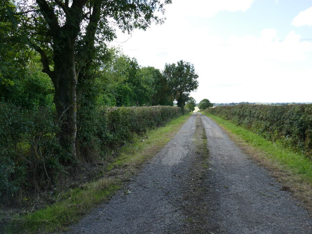
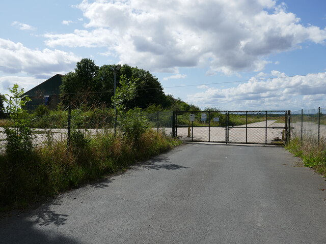
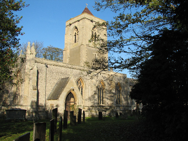
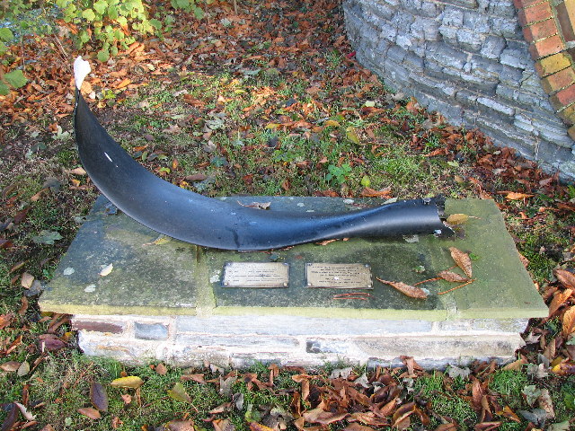
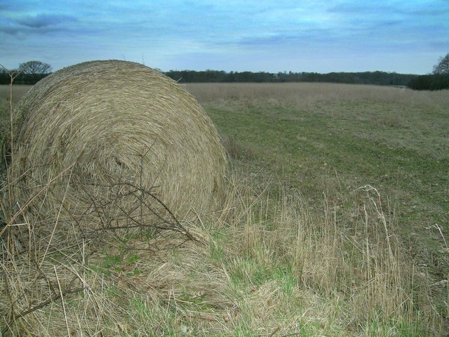
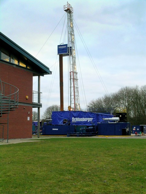
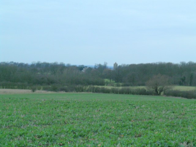
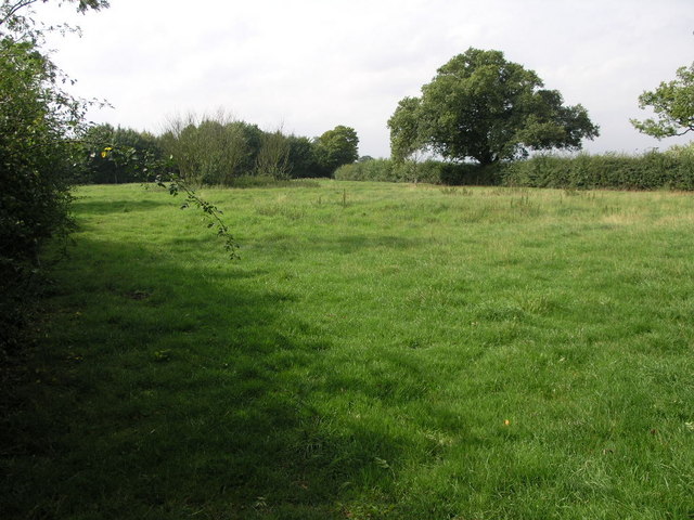
Folly Hill Images

Images are sourced within 2km of 52.982731/-0.77735271 or Grid Reference SK8243. Thanks to Geograph Open Source API. All images are credited.

Elm Close, Long Bennington At the junction of Great North Road
Elm Close, Long Bennington
At the junction of Great North Road
Acklands Lane at the junction of Great North Road Great North Road pops up along the length of the A1 and old A1, and the first is in East Finchley on the now A1000.
Acklands Lane at the junction of Great North Road
Great North Road pops up along the length of the A1 and old A1, and the first is in East Finchley on the now A1000.
Slip road from the A1 to Long Bennington
Farm track near Normanton
Entrance to Power Minerals depot
46 Church Street, Long Bennington Seventeenth century cottage <span class="nowrap"><a title="https://historicengland.org.uk/listing/the-list/list-entry/1360068?section=official-list-entry" rel="nofollow ugc noopener" href="https://historicengland.org.uk/listing/the-list/list-entry/1360068?section=official-list-entry">Link</a><img style="margin-left:2px;" alt="External link" title="External link - shift click to open in new window" src="https://s1.geograph.org.uk/img/external.png" width="10" height="10"/></span>
46 Church Street, Long Bennington
Seventeenth century cottage LinkExternal link
Cottage, Church Street, Long Bennington
33 Church Street, Long Bennington
Long Bennington One of the three public houses that line the main street in Long Bennington.
Long Bennington
One of the three public houses that line the main street in Long Bennington.
Saint Mary's, Staunton <span class="nowrap"><a title="http://www.nottshistory.org.uk/articles/staunton/staunton1900p2.htm" rel="nofollow ugc noopener" href="http://www.nottshistory.org.uk/articles/staunton/staunton1900p2.htm">Link</a><img style="margin-left:2px;" alt="External link" title="External link - shift click to open in new window" src="https://s1.geograph.org.uk/img/external.png" width="10" height="10"/></span>
Saint Mary's, Staunton
Lancaster Bomber Memorial, Staunton Churchyard Memorial to commemorate the lives of the crew of Lancaster bomber W4270
Lancaster Bomber Memorial, Staunton Churchyard
Memorial to commemorate the lives of the crew of Lancaster bomber W4270
Lonely Hay Bale This bale seems to have been forgotten with the field behind showing just stubble and weeds.
Lonely Hay Bale
This bale seems to have been forgotten with the field behind showing just stubble and weeds.
Drilling for Oil? Schlumberger have a small site at the back of "Three Shire Oak" woods although what they are drilling for who knows?
Drilling for Oil?
Schlumberger have a small site at the back of "Three Shire Oak" woods although what they are drilling for who knows?
Kilvington Church The rolling fields lead the eye to the trees at Rookery and Waterloo Plantation, which appear to have parted to give a distant glimpse of Kilvington Church <a href="https://www.geograph.org.uk/gridref/SK801428">SK801428</a> not to be confused with nearby Staunton Church <a href="https://www.geograph.org.uk/gridref/SK805433">SK805433</a>.
Kilvington Church
The rolling fields lead the eye to the trees at Rookery and Waterloo Plantation, which appear to have parted to give a distant glimpse of Kilvington Church SK801428 not to be confused with nearby Staunton Church SK805433.
Nettle Bed Path A footpath runs across this field and passes by the circular nettle bed on its way to Staunton in the Vale.  I would guess the nettle bed is an old pond that has silted up.
Nettle Bed Path
A footpath runs across this field and passes by the circular nettle bed on its way to Staunton in the Vale. I would guess the nettle bed is an old pond that has silted up.
Pylons and Van The pylons carry their cables south across this and many other squares.  The van on the other hand is travelling north towards Long Bennington and the A1.
Pylons and Van
The pylons carry their cables south across this and many other squares. The van on the other hand is travelling north towards Long Bennington and the A1.
One Big Pylon This pylon is no bigger than the ones in the next square south <a href="https://www.geograph.org.uk/gridref/SK8243">SK8243</a> but it just looks it since it is so close to the road.
One Big Pylon
This pylon is no bigger than the ones in the next square south SK8243 but it just looks it since it is so close to the road.
Farm on a Hill Authorpe Farm stands at the top of this gentle climb.
Farm on a Hill
Authorpe Farm stands at the top of this gentle climb.
Show me another place!

Folly Hill is located at Grid Ref: SK8243 (Lat: 52.982731, Lng: -0.77735271)

Administrative County: Lincolnshire

District: South Kesteven

Police Authority: Lincolnshire

What 3 Words

///hammocks.trappings.smooth. Near Long Bennington, Lincolnshire

Nearby Locations

Folly Hill

Related Wikis

Staunton, Nottinghamshire

Staunton (also known as Staunton-in-the-Vale) is a small village and civil parish in the Newark and Sherwood district of Nottinghamshire, England. It takes...

Long Bennington

Long Bennington is a linear village and civil parish in South Kesteven district of Lincolnshire, England, just off the A1 road, 7 miles (11 km) north of...

East Midlands

The East Midlands is one of nine official regions of England. It comprises the eastern half of the area traditionally known as the Midlands. It consists...

Kilvington

Kilvington is a hamlet and civil parish in Nottinghamshire, England, part of the Newark and Sherwood district. Dr Robert Thoroton in Antiquities of Nottinghamshire...

Nearby Amenities

Located within 500m of 52.982731,-0.77735271
Created By: Merkaartor 0.12
Lat/Long: 52.9849463/-0.7795142
Created By: Merkaartor 0.12
Lat/Long: 52.9828549/-0.783871
Created By: Merkaartor 0.12
Lat/Long: 52.9836416/-0.7831406
Created By: Merkaartor 0.12
Lat/Long: 52.983934/-0.782586
Created By: Merkaartor 0.12
Lat/Long: 52.9856326/-0.7742678
Folly Hill
Place: locality
Source: Bing
Lat/Long: 52.9824383/-0.7810499
Follyhill Cottage
Place: isolated_dwelling
Source: Bing
Wikidata: Q26589405
Lat/Long: 52.9826941/-0.7775636
Folly Hill
Natural: peak
Lat/Long: 52.9821237/-0.7771111
The data included in this document is from www.openstreetmap.org. The data is made available under ODbL.

Have you been to Folly Hill?

Leave your review of Folly Hill below (or comments, questions and feedback).