Burn Hill

Hill, Mountain in Leicestershire Harborough

England

Burn Hill

Church of St Peter, Horninghold Early 12th century. See also <a href="https://www.geograph.org.uk/photo/222513">SP8097 : Church of St Peter, Horninghold; south side</a>
Church of St Peter, Horninghold Credit: Tim Heaton

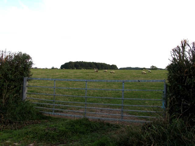
Burn Hill is a prominent geographical feature located in the county of Leicestershire, England. Situated near the village of Burn, it is a hill that rises to an elevation of approximately 248 meters (814 feet) above sea level. While it may not be considered a mountain in the truest sense, its height and distinctiveness make it a notable landmark in the region.

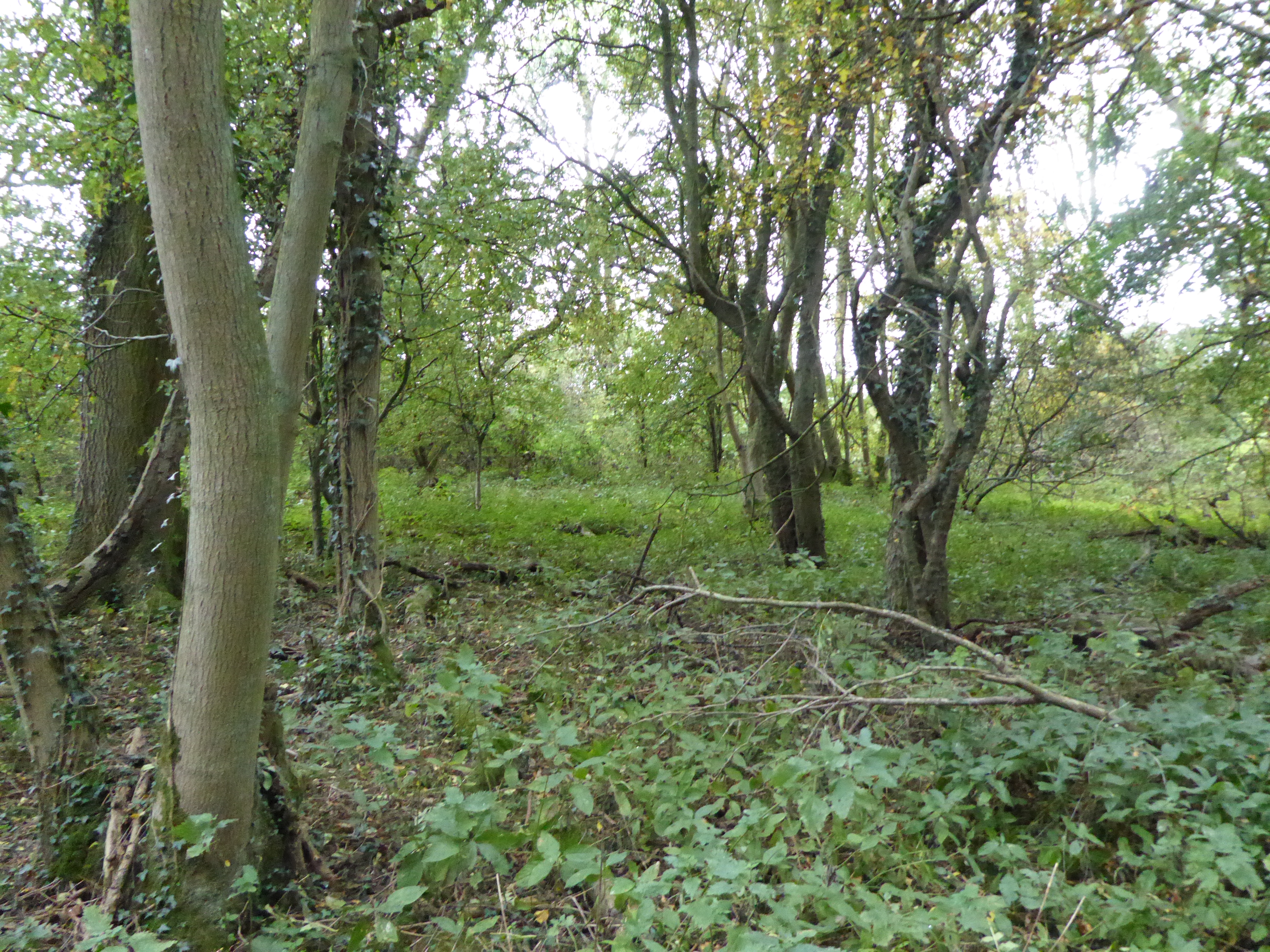
The hill is composed primarily of limestone, a sedimentary rock that is abundant in the area. This geological composition gives Burn Hill its characteristic appearance and contributes to the rich biodiversity found on its slopes. The hill is covered in lush vegetation, including grasses, shrubs, and scattered trees, providing habitat for various plant and animal species.

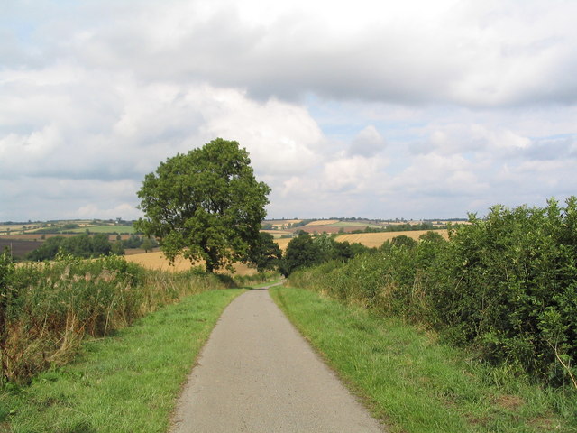
From the summit of Burn Hill, one can enjoy panoramic views of the surrounding countryside, including the nearby villages, farmland, and rolling hills that make up the Leicestershire landscape. On clear days, the distant landmarks of Leicester and the Charnwood Forest can be seen in the distance.

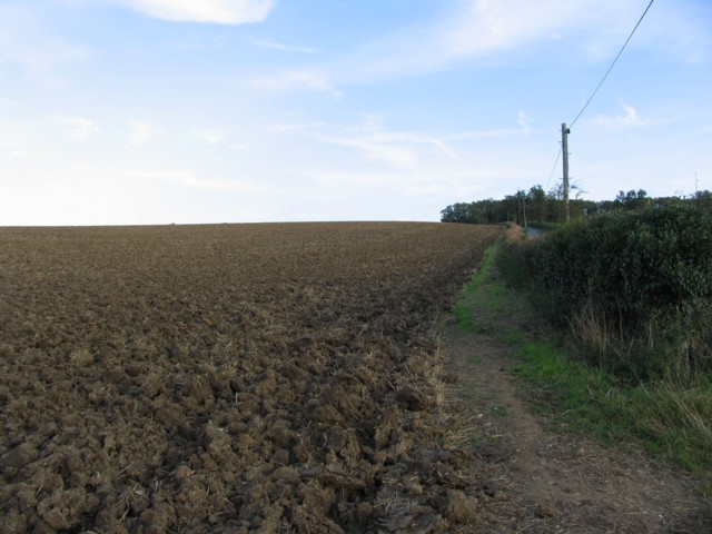
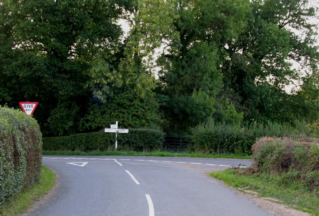
Burn Hill is a popular destination for outdoor enthusiasts, offering opportunities for hiking, walking, and nature exploration. Several footpaths and trails traverse the hill, providing access to its summit and allowing visitors to appreciate its natural beauty up close.

Overall, Burn Hill is a picturesque and accessible natural feature in Leicestershire, offering both recreational and scenic value to locals and visitors alike.

If you have any feedback on the listing, please let us know in the comments section below.
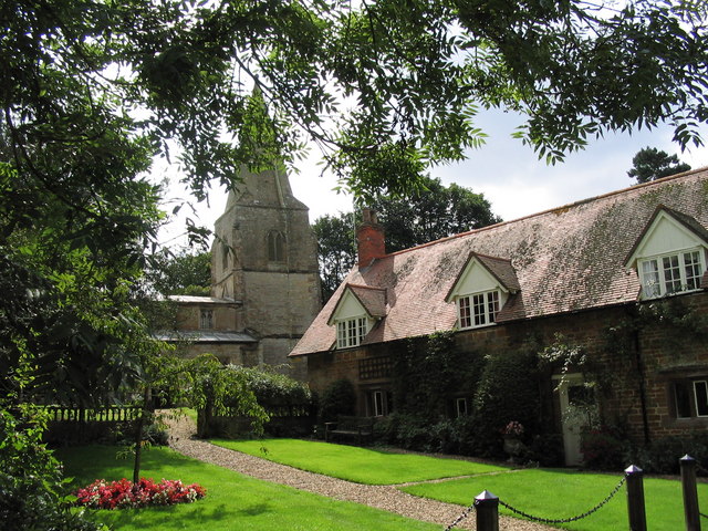
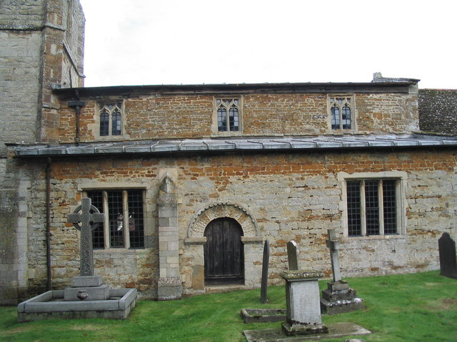
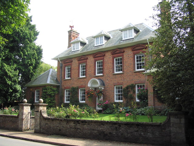
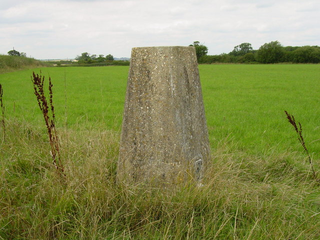
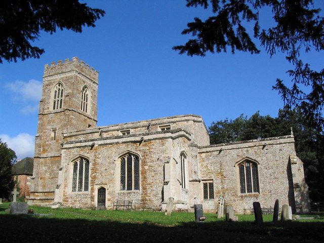
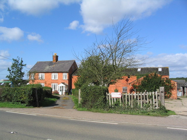
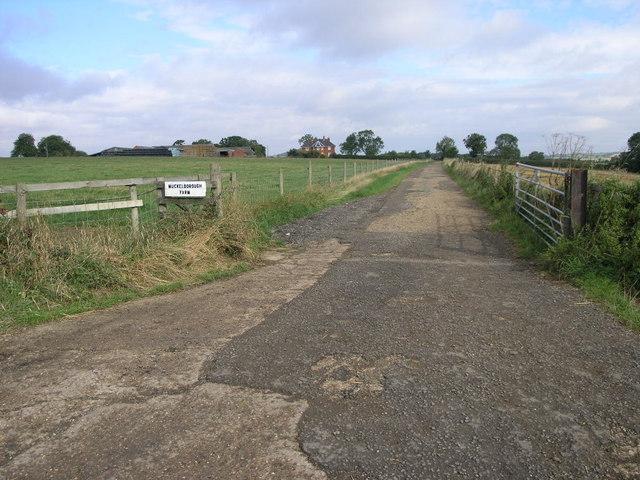
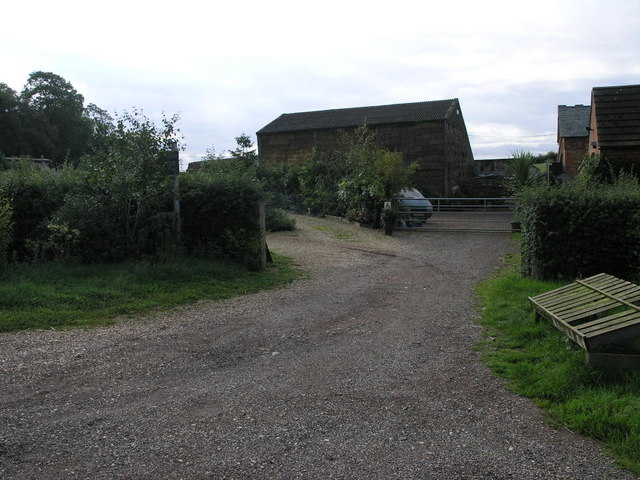
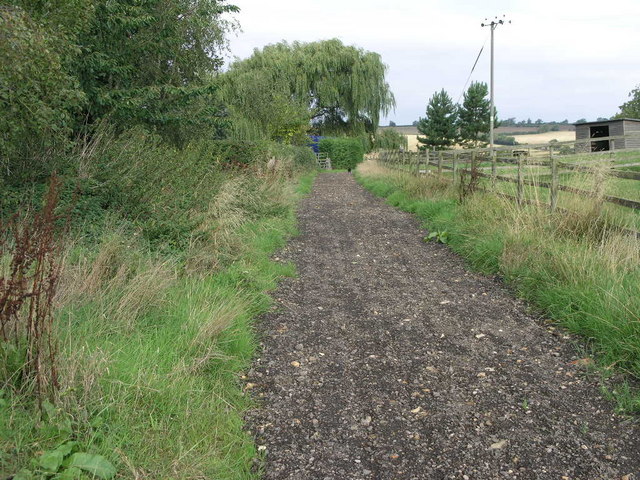
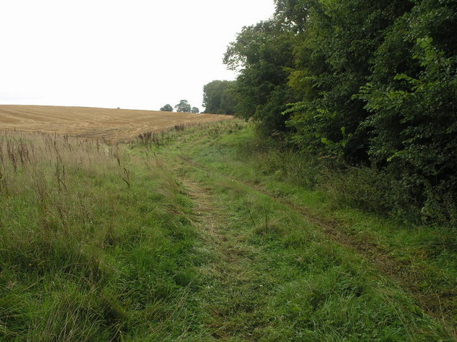
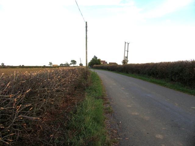
Burn Hill Images

Images are sourced within 2km of 52.565666/-0.78982263 or Grid Reference SP8297. Thanks to Geograph Open Source API. All images are credited.

Church of St Peter, Horninghold Early 12th century. See also <a href="https://www.geograph.org.uk/photo/222513">SP8097 : Church of St Peter, Horninghold; south side</a>
Church of St Peter, Horninghold
Church of St Peter, Horninghold; south side A mixture of limestone and ironstone, with a fine Norman doorway
Church of St Peter, Horninghold; south side
A mixture of limestone and ironstone, with a fine Norman doorway
Horninghold One of several fine houses in this immaculate village. See <span class="nowrap"><a title="http://www.horninghold.org.uk/index.htm" rel="nofollow ugc noopener" href="http://www.horninghold.org.uk/index.htm">Link</a><img style="margin-left:2px;" alt="External link" title="External link - shift click to open in new window" src="https://s1.geograph.org.uk/img/external.png" width="10" height="10"/></span>
Horninghold
One of several fine houses in this immaculate village. See LinkExternal link
Horninghold Lane, between Horninghold and Blaston. View north towards Horninghold. Signed as a 'gated' road. And unlike most such roads in Leicestershire, this does have gates.
Horninghold Lane, between Horninghold and Blaston.
View north towards Horninghold. Signed as a 'gated' road. And unlike most such roads in Leicestershire, this does have gates.
Stockerston Trig Point This trig point lies immediately to the north of the Stockerston Cross Roads and can be accessed via a footpath.
Stockerston Trig Point
This trig point lies immediately to the north of the Stockerston Cross Roads and can be accessed via a footpath.
Lodge Farm, near Stockerston The road down King's Hill from Uppingham makes a sharp turn left to Stockerston, or right to Horninghold
Lodge Farm, near Stockerston
The road down King's Hill from Uppingham makes a sharp turn left to Stockerston, or right to Horninghold
Church of St Peter, Stockerston
Church Lane, Stockerston A quiet lane leading up to the church <a href="https://www.geograph.org.uk/photo/232395">SP8397 : Church of St Peter, Stockerston</a>, and continuing as a pleasant footpath to Horninghold
Church Lane, Stockerston
A quiet lane leading up to the church SP8397 : Church of St Peter, Stockerston, and continuing as a pleasant footpath to Horninghold
New Lodge, Uppingham Road On the B664 between Uppingham and Medbourne
New Lodge, Uppingham Road
On the B664 between Uppingham and Medbourne
Muckleborough Gate This farm road leads to the Muckleborough Farm which stands on top of Knob Hill.
Muckleborough Gate
This farm road leads to the Muckleborough Farm which stands on top of Knob Hill.
Byway? Although not clearly marked on the ground there is some sort of public access from this point that stretches south across this square.  It could be the middle track of the three?
Byway?
Although not clearly marked on the ground there is some sort of public access from this point that stretches south across this square. It could be the middle track of the three?
Track to Allexton More clearly defined than the same track that runs south from here this track appears to be a public byway of some sort which is not clearly signed on the ground.
Track to Allexton
More clearly defined than the same track that runs south from here this track appears to be a public byway of some sort which is not clearly signed on the ground.
Bridleway to Stockerston To quote the signpost for this bridleway, Stockerston is 1 1/3 miles from here.
Bridleway to Stockerston
To quote the signpost for this bridleway, Stockerston is 1 1/3 miles from here.
Towards Belcher's Lodge
Sheep Grazing The trees in the distance are Highland Spinney
Sheep Grazing
The trees in the distance are Highland Spinney
Ploughed Field
Ploughed Field
Looking down Belcher's Hill
Road junction at bottom of Belcher's Hill
Show me another place!

Burn Hill is located at Grid Ref: SP8297 (Lat: 52.565666, Lng: -0.78982263)

Administrative County: Leicestershire

District: Harborough

Police Authority: Leicestershire

What 3 Words

///restores.proofread.vans. Near Uppingham, Rutland

Related Wikis

Bolt Wood

Bolt Wood is near to the western boundary of the Parish of Stockerston, Leicestershire, England. It is suggested that the woodland on this boundary is...

Eye Brook Valley Woods

Eye Brook Valley Woods is a 65.7-hectare (162-acre) biological Site of Special Scientific Interest east of Hallaton in Leicestershire. It is in three separate...

Horninghold

Horninghold is a small village and parish seven miles north-east of Market Harborough in the county of Leicestershire. The population of the civil parish...
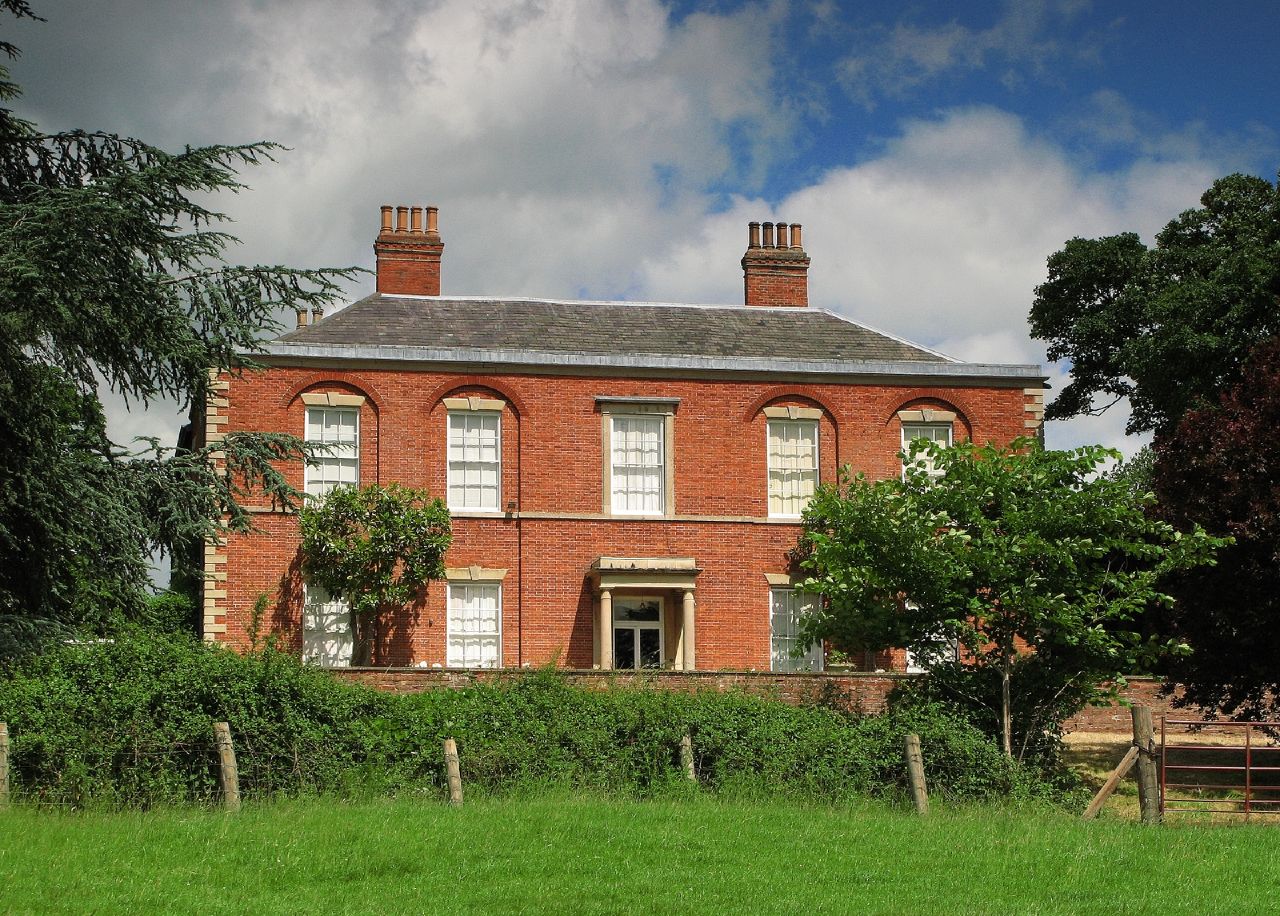
Stockerston Hall

Stockerston Hall is a late-18th-century English country house in Leicestershire, near the town of Uppingham, Rutland. It is a Grade II listed building...

Great Merrible Wood

Great Merrible Wood is a 12 hectare nature reserve east of Hallaton in Leicestershire. It is owned and managed by the Leicestershire and Rutland Wildlife...

Stockerston

Stockerston is a village and civil parish in the Harborough district of Leicestershire, England, located on the border with Rutland, by the Eye Brook....

Bradley Priory

Bradley Priory was an Augustinian priory in the parish of Nevill Holt, Leicestershire, England. == History == The priory was founded between 1220 and 1234...

Allexton Wood

Allexton Wood is a 25.9-hectare (64-acre) biological Site of Special Scientific Interest north-east of Hallaton in Leicestershire.This coppice semi-natural...

Have you been to Burn Hill?

Leave your review of Burn Hill below (or comments, questions and feedback).