Swincroft Hill
Hill, Mountain in Yorkshire Ryedale
England
Swincroft Hill

Swincroft Hill is a prominent geological feature located in the county of Yorkshire, England. Situated near the village of Swincroft, it is part of the larger Pennine range and offers breathtaking views of the surrounding landscape.
With an elevation of approximately 500 meters (1,640 feet), Swincroft Hill is categorized as a hill rather than a mountain. However, its imposing presence and commanding position make it a notable landmark in the region. The hill's summit is marked by a trig point, serving as a reference point for geographers and hikers alike.
The terrain of Swincroft Hill is characterized by steep slopes and rocky outcrops, which provide a challenging yet rewarding climbing experience for outdoor enthusiasts. The hill is covered with lush grasslands, dotted with heather and other wildflowers, creating a picturesque scene during the summer months.
Swincroft Hill is also home to a variety of wildlife, including birds of prey such as kestrels and buzzards, as well as smaller mammals like rabbits and foxes. The hill's diverse ecosystem attracts nature lovers and birdwatchers, who can often be seen exploring the area in search of rare species.
Accessible by footpaths and trails, Swincroft Hill offers opportunities for hiking, mountain biking, and even paragliding. Its proximity to the nearby village provides convenient access for visitors, who can enjoy a day of outdoor activities before retiring to the local amenities.
Overall, Swincroft Hill is a stunning natural feature that showcases the beauty of Yorkshire's landscape. Its rugged terrain, rich wildlife, and panoramic views make it a must-visit destination for those seeking outdoor adventures in the region.
If you have any feedback on the listing, please let us know in the comments section below.
Swincroft Hill Images
Images are sourced within 2km of 54.238608/-0.74421169 or Grid Reference SE8183. Thanks to Geograph Open Source API. All images are credited.


Swincroft Hill is located at Grid Ref: SE8183 (Lat: 54.238608, Lng: -0.74421169)
Division: North Riding
Administrative County: North Yorkshire
District: Ryedale
Police Authority: North Yorkshire
What 3 Words
///quiz.bleaker.hamster. Near Thornton Dale, North Yorkshire
Nearby Locations
Related Wikis

Thornton-le-Dale
Thornton-le-Dale (also called Thornton Dale) is a village and civil parish in North Yorkshire, England, about 3 miles (5 km) east of Pickering on the edge...

Thornton Dale railway station
Thornton Dale railway station was situated on the North Eastern Railway's Pickering to Seamer branch line. It served the village of Thornton-le-Dale in...
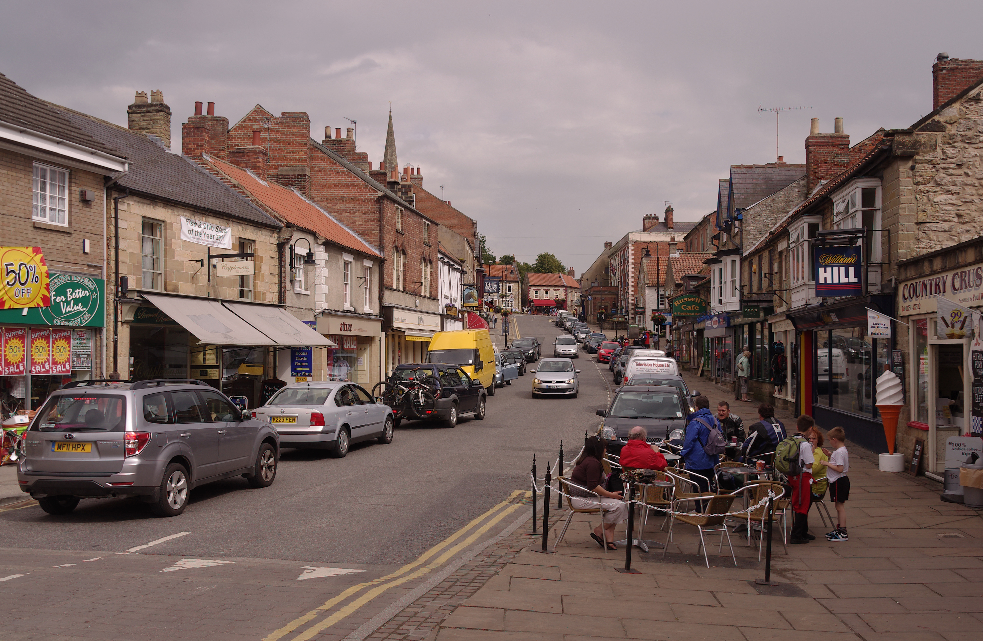
Pickering, North Yorkshire
Pickering is a market town and civil parish in North Yorkshire, England, on the border of the North York Moors National Park. Historically part of the...
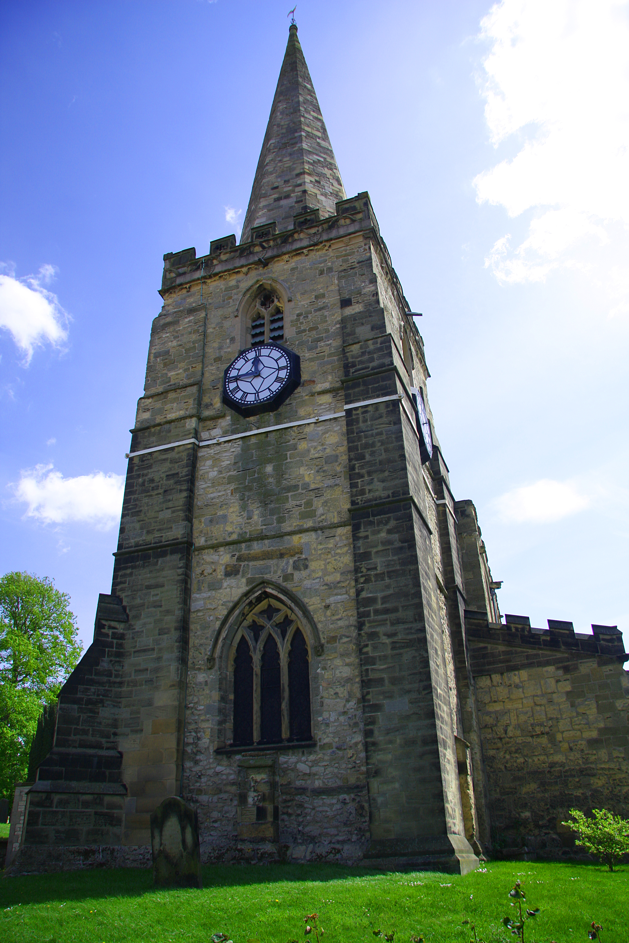
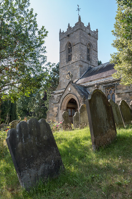
St Peter and St Paul's Church, Pickering
The Church of St Peter and St Paul, Pickering is the parish church of the market town of Pickering in the county of North Yorkshire. The church sits on...

Pickering Town F.C.
Pickering Town Football Club is an English football club based in Pickering, North Yorkshire. The club was founded in 1888 and are currently members of...
Kirby railway station
Kirby railway station was a railway station on the York and North Midland Railway's branch line to Pickering. Named after the village of Kirby Misperton...
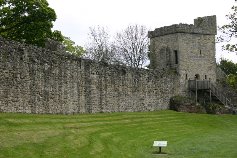
Pickering Castle
Pickering Castle is a motte-and-bailey fortification in Pickering, North Yorkshire, England. == Design == Pickering Castle was originally a timber and...
Ellerburn
Ellerburn is a village in the Ryedale district of North Yorkshire, England, situated near Thornton-le-Dale, about 3 miles (4.8 km) east of Pickering....
Nearby Amenities
Located within 500m of 54.238608,-0.74421169Have you been to Swincroft Hill?
Leave your review of Swincroft Hill below (or comments, questions and feedback).