Slough Hill
Hill, Mountain in Buckinghamshire
England
Slough Hill

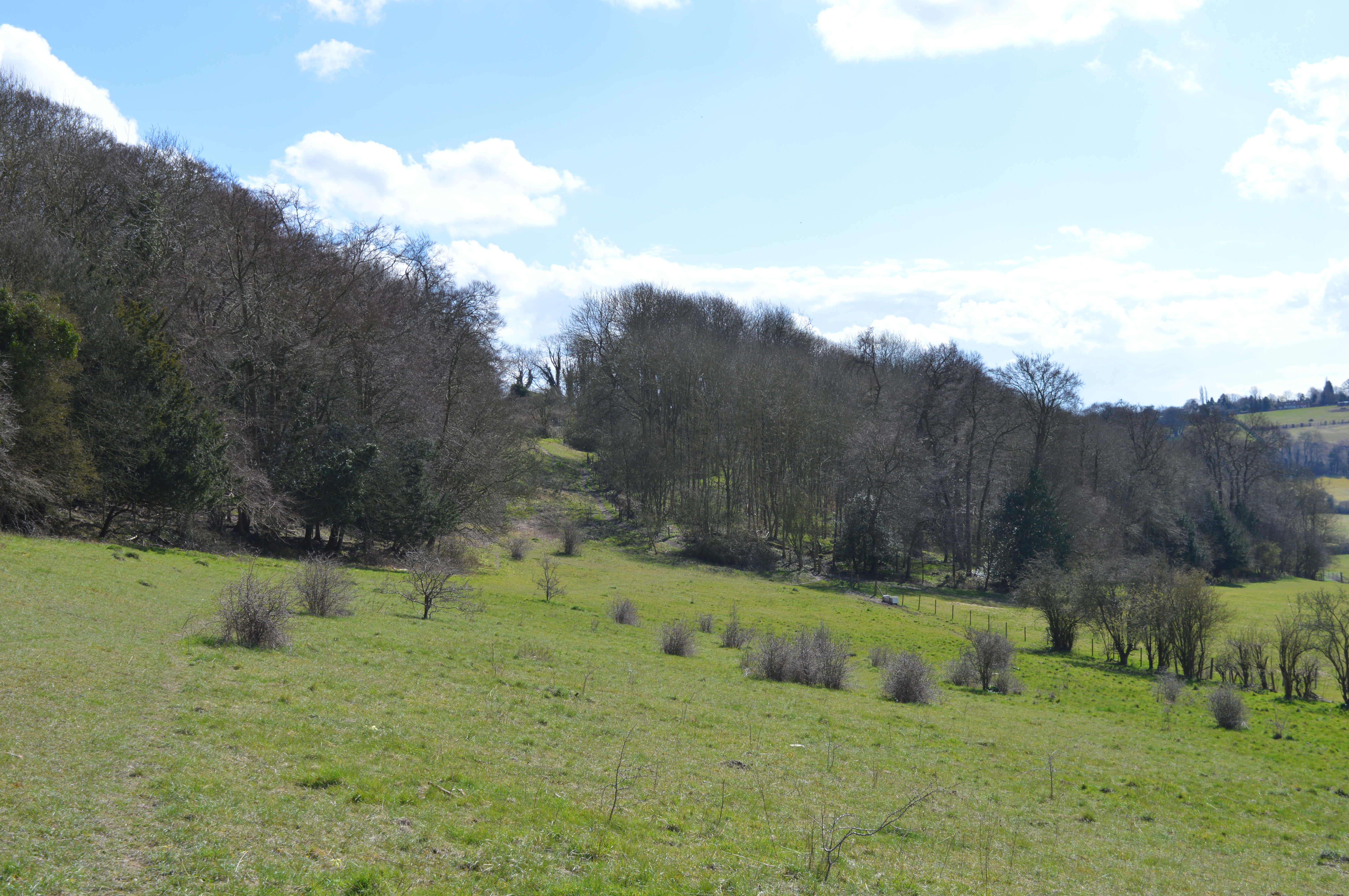
Slough Hill is a prominent geographical feature located in the county of Buckinghamshire, England. It is classified as a hill rather than a mountain due to its elevation, which is relatively modest compared to larger peaks. Situated in the southern part of Buckinghamshire, Slough Hill is part of the Chiltern Hills, a range known for its picturesque countryside and scenic beauty.
The hill stands at an approximate height of 260 meters (850 feet) above sea level, offering breathtaking panoramic views of the surrounding landscape. Its location in the Chilterns means that it is characterized by rolling green fields, dense woodlands, and charming villages that dot the countryside. The hill's summit is accessible via several footpaths and trails, making it a popular destination for hikers, walkers, and outdoor enthusiasts.
Slough Hill is rich in biodiversity, with a diverse range of flora and fauna inhabiting its slopes and surrounding areas. The hill is home to various species of birds, mammals, and plants, providing a haven for nature lovers and wildlife enthusiasts.
Due to its proximity to nearby towns and villages, Slough Hill attracts visitors from both the local area and further afield. It offers a peaceful retreat from the hustle and bustle of urban life, providing an opportunity to connect with nature and enjoy the tranquility of the countryside.
Overall, Slough Hill in Buckinghamshire offers a delightful blend of natural beauty, recreational opportunities, and ecological significance, making it a cherished landmark within the region.
If you have any feedback on the listing, please let us know in the comments section below.
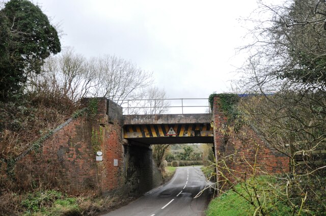
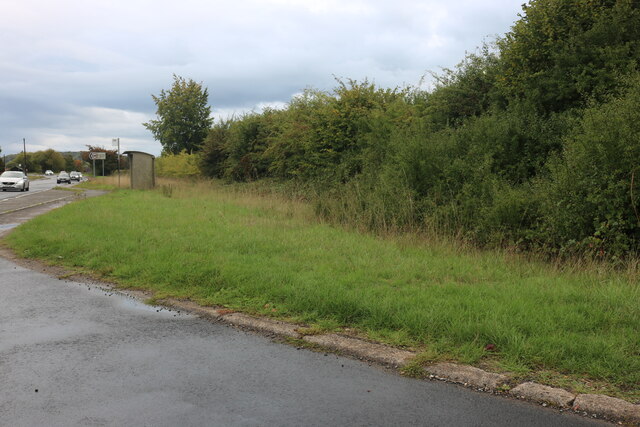
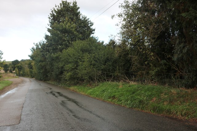
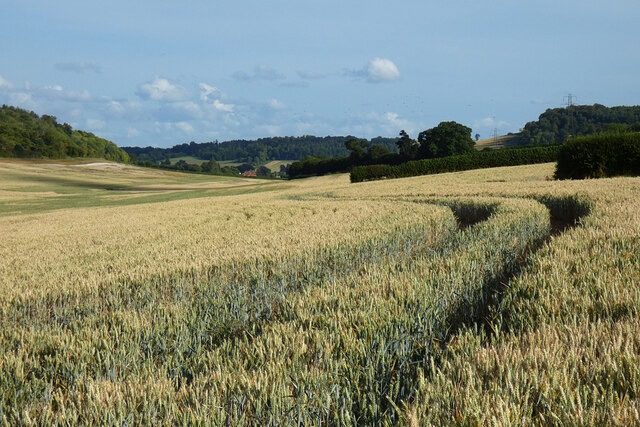
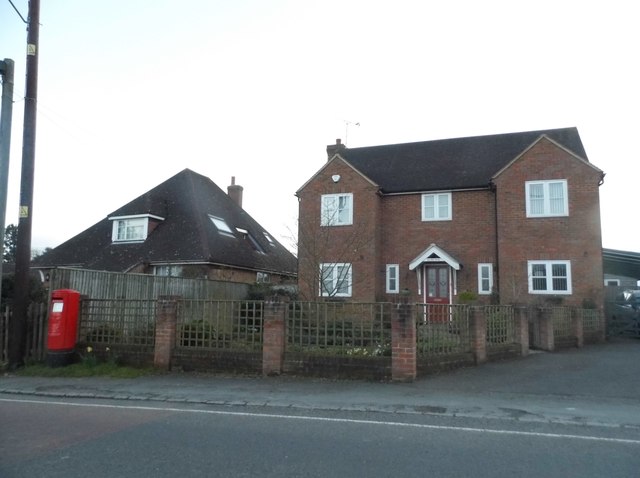
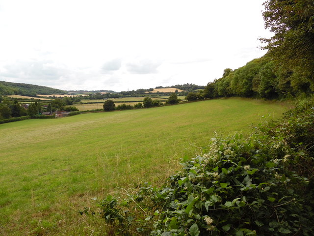
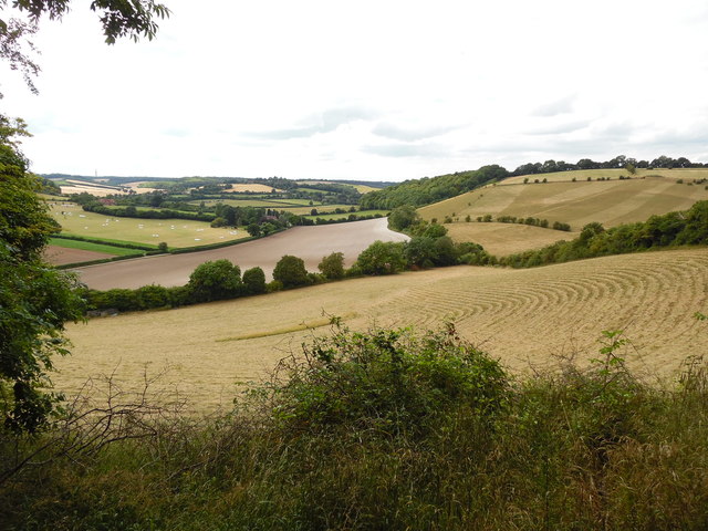
Slough Hill Images
Images are sourced within 2km of 51.674954/-0.83237704 or Grid Reference SU8097. Thanks to Geograph Open Source API. All images are credited.


Slough Hill is located at Grid Ref: SU8097 (Lat: 51.674954, Lng: -0.83237704)
Unitary Authority: Buckinghamshire
Police Authority: Thames Valley
What 3 Words
///proofread.objective.sting. Near Stokenchurch, Buckinghamshire
Nearby Locations
Related Wikis
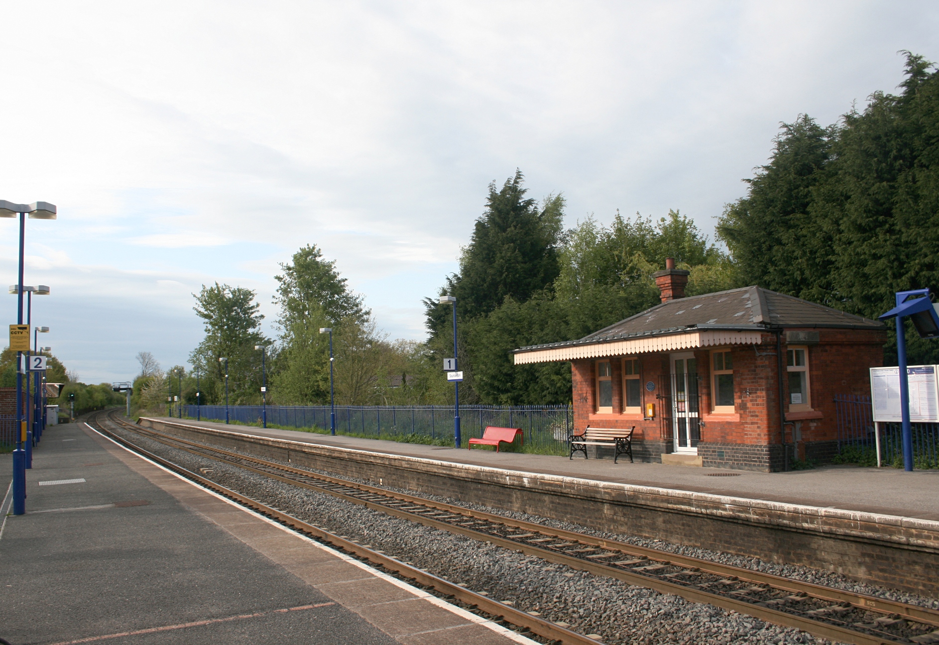
Saunderton railway station
Saunderton railway station is a railway station on the A4010 road between High Wycombe and Princes Risborough, in Buckinghamshire, England. It is located...

Bledlow Ridge
Bledlow Ridge is a village in the civil parish of Bledlow-cum-Saunderton in Buckinghamshire, England. In 2004 the population was 940. It is situated in...
Yoesden
Yoesden, often known as Yoesden Bank, is a 13-hectare (32-acre) nature reserve in Bledlow Ridge in Buckinghamshire. It is managed by the Berkshire, Buckinghamshire...
Bradenham, Buckinghamshire
Bradenham is a village and civil parish in Buckinghamshire, England. It is near Saunderton, off the main A4010 road between Princes Risborough and High...

Buttlers Hangings
Buttlers Hangings is a 3.9-hectare (9.6-acre) Site of Special Scientific Interest north of West Wycombe in Buckinghamshire. It is in the Chilterns Area...

Bradenham Woods, Park Wood and The Coppice
Bradenham Woods, Park Wood and The Coppice is a 129.1-hectare (319-acre) biological Site of Special Scientific Interest in Bradenham in Buckinghamshire...

RAF High Wycombe
Royal Air Force High Wycombe or more simply RAF High Wycombe is a Royal Air Force station, situated in the village of Walters Ash, near High Wycombe in...
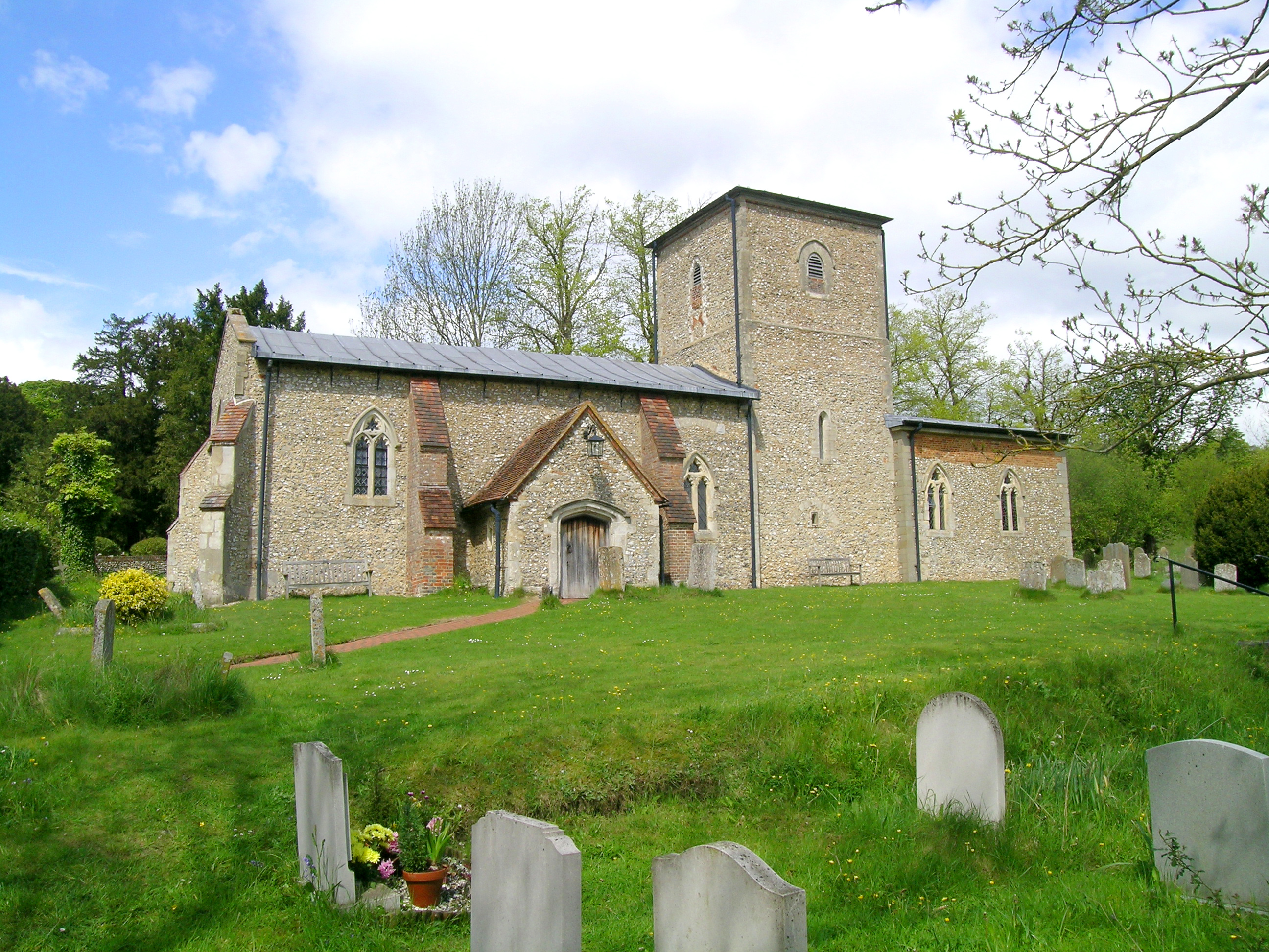
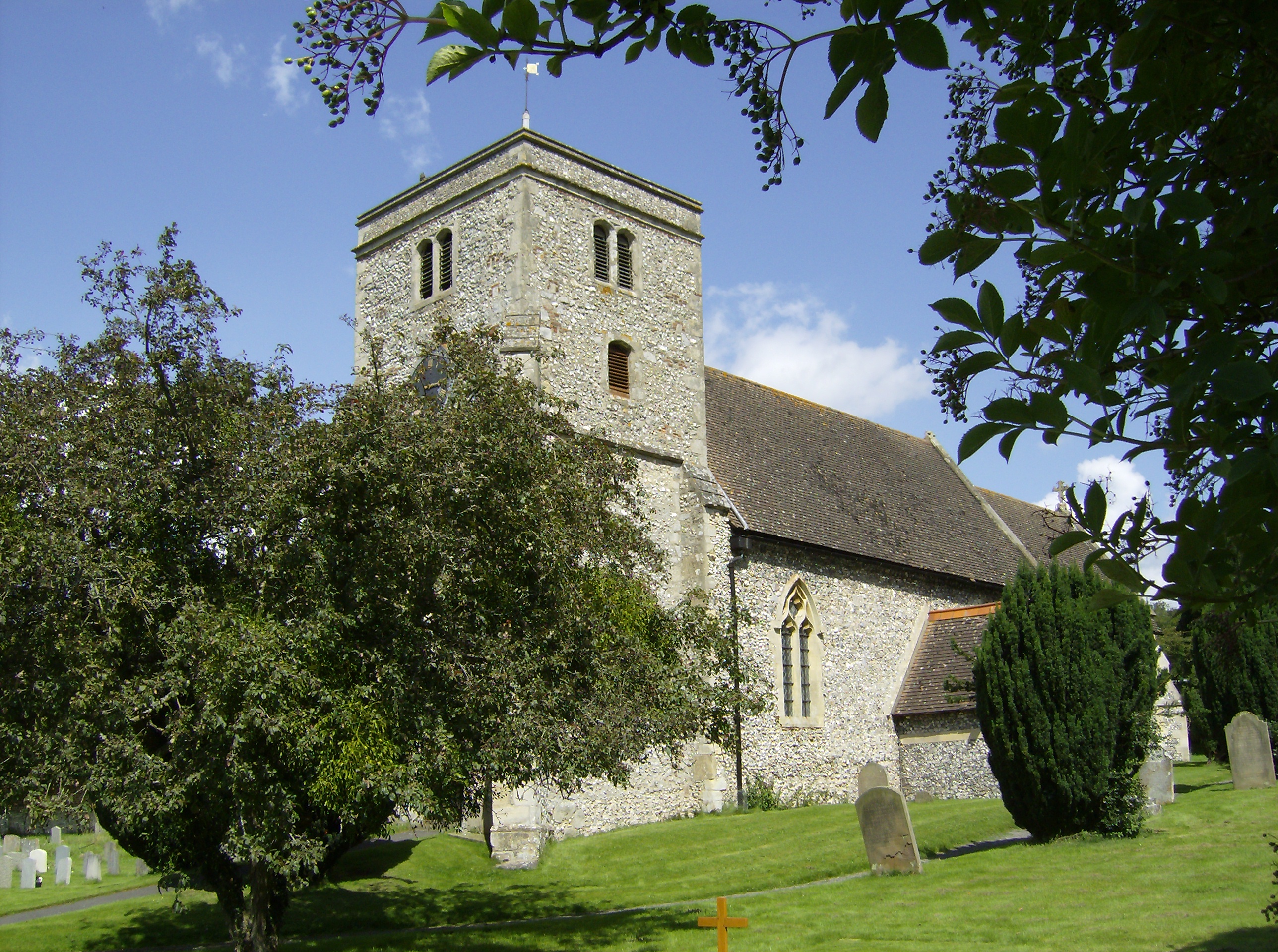
St Mary the Virgin, Radnage
St Mary the Virgin is the parish church of Radnage in Buckinghamshire, situated towards the northeastern edge of the village. The church is part of the...
Nearby Amenities
Located within 500m of 51.674954,-0.83237704Have you been to Slough Hill?
Leave your review of Slough Hill below (or comments, questions and feedback).