Barrel Hill
Hill, Mountain in Nottinghamshire Newark and Sherwood
England
Barrel Hill
Barrel Hill is a prominent natural feature located in Nottinghamshire, England. Situated in the northwestern part of the county, it is classified as a hill rather than a mountain due to its relatively modest elevation. The hill stands at approximately 200 meters (656 feet) above sea level, making it a notable landmark in the surrounding area.
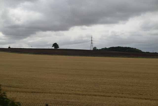
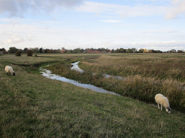
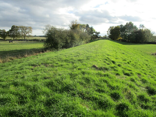
Covered in lush greenery and surrounded by picturesque countryside, Barrel Hill offers stunning panoramic views of the Nottinghamshire landscape. Its slopes are predominantly composed of grass and scattered with a variety of wildflowers, creating a vibrant and colorful spectacle during the spring and summer months. The hill is also interspersed with small patches of woodland, adding to its natural beauty.
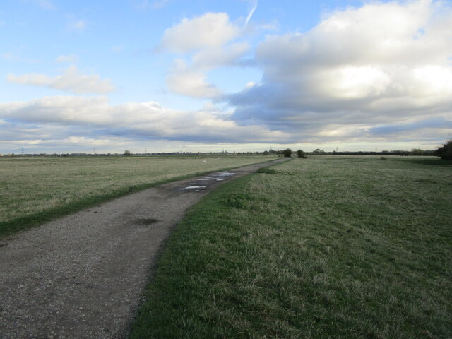
Barrel Hill is a popular destination for outdoor enthusiasts and nature lovers alike. Its gentle incline and well-maintained footpaths make it accessible to walkers and hikers of all ages and abilities. The hill provides an ideal setting for peaceful strolls, picnics, or more adventurous activities such as hill running or orienteering.
The summit of Barrel Hill offers a particularly breathtaking view, providing an uninterrupted vista of the surrounding Nottinghamshire countryside, including nearby villages, farmland, and patches of woodland. On clear days, it is even possible to spot the distant outline of other notable landmarks, such as the historic city of Nottingham and the Trent Valley.
Overall, Barrel Hill is a charming and picturesque natural feature, offering visitors a chance to connect with nature and enjoy the beauty of the Nottinghamshire countryside.
If you have any feedback on the listing, please let us know in the comments section below.
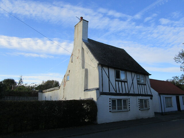
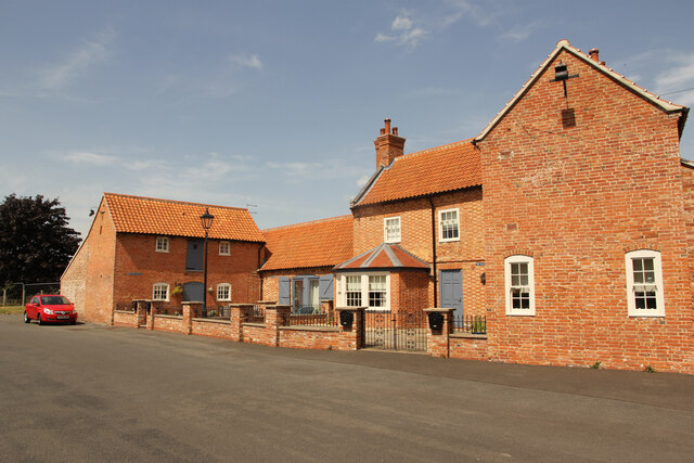
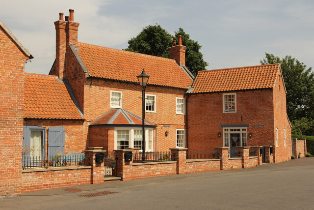
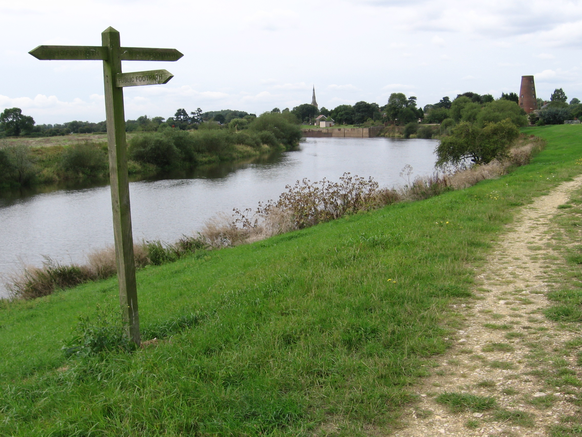
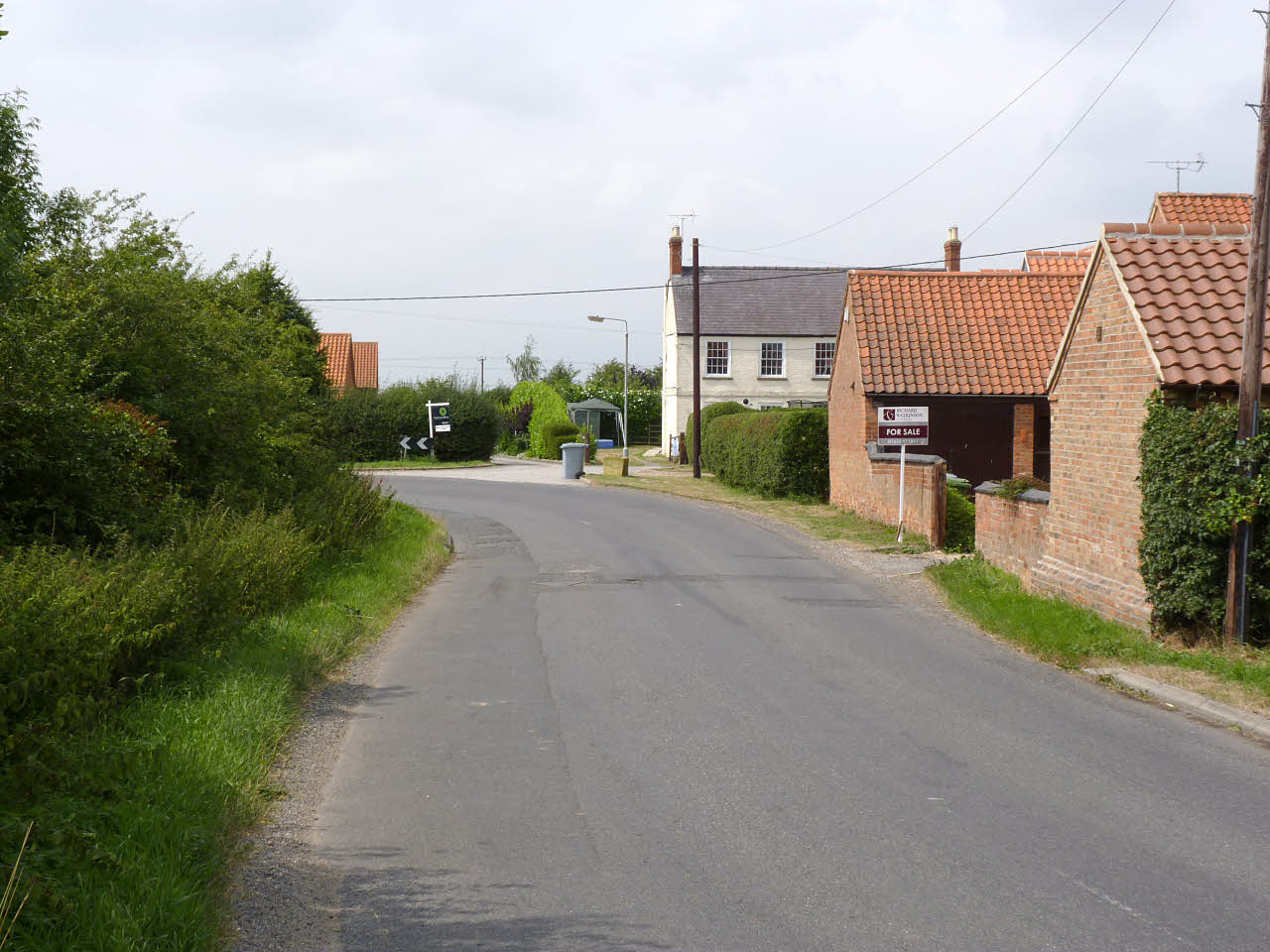
Barrel Hill Images
Images are sourced within 2km of 53.180729/-0.81945 or Grid Reference SK7865. Thanks to Geograph Open Source API. All images are credited.


Barrel Hill is located at Grid Ref: SK7865 (Lat: 53.180729, Lng: -0.81945)
Administrative County: Nottinghamshire
District: Newark and Sherwood
Police Authority: Nottinghamshire
What 3 Words
///enlighten.microfilm.suddenly. Near Sutton on Trent, Nottinghamshire
Nearby Locations
Related Wikis

Crow Park railway station
Crow Park railway station served the village of Sutton-on-Trent, Nottinghamshire, England from 1882 to 1964 on the East Coast Main Line. == History... ==
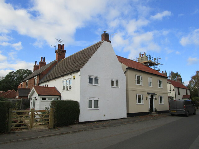
Sutton-on-Trent
Sutton-on-Trent is a large village and parish in Nottinghamshire, situated on the Great North Road, and on the west bank of the River Trent. The village...
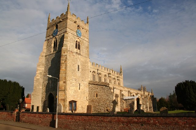
All Saints' Church, Sutton-on-Trent
All Saints' Church, Sutton-on-Trent is a Grade I listed parish church in the Church of England in Sutton-on-Trent. == History == A Saxon church was listed...
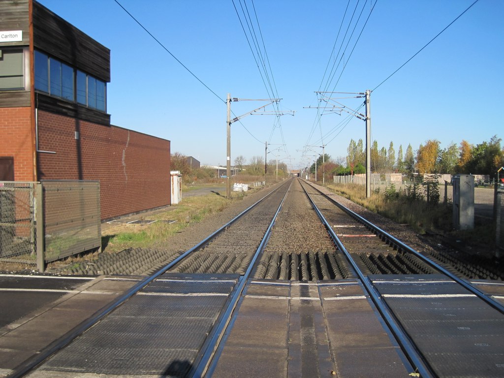
Carlton on Trent railway station
Carlton on Trent railway station served the village of Carlton-on-Trent, Nottinghamshire, England from 1852 to 1953 on the East Coast Main Line. ��2�...

St Mary's Church, Carlton-on-Trent
St Mary's Church, Carlton-on-Trent is a Grade II* listed parish church in the Church of England in Carlton-on-Trent. == History == The church was built...
Carlton-on-Trent
Carlton-on-Trent is a small village and civil parish in England, located between the River Trent and the A1 road near Newark-on-Trent in Nottinghamshire...
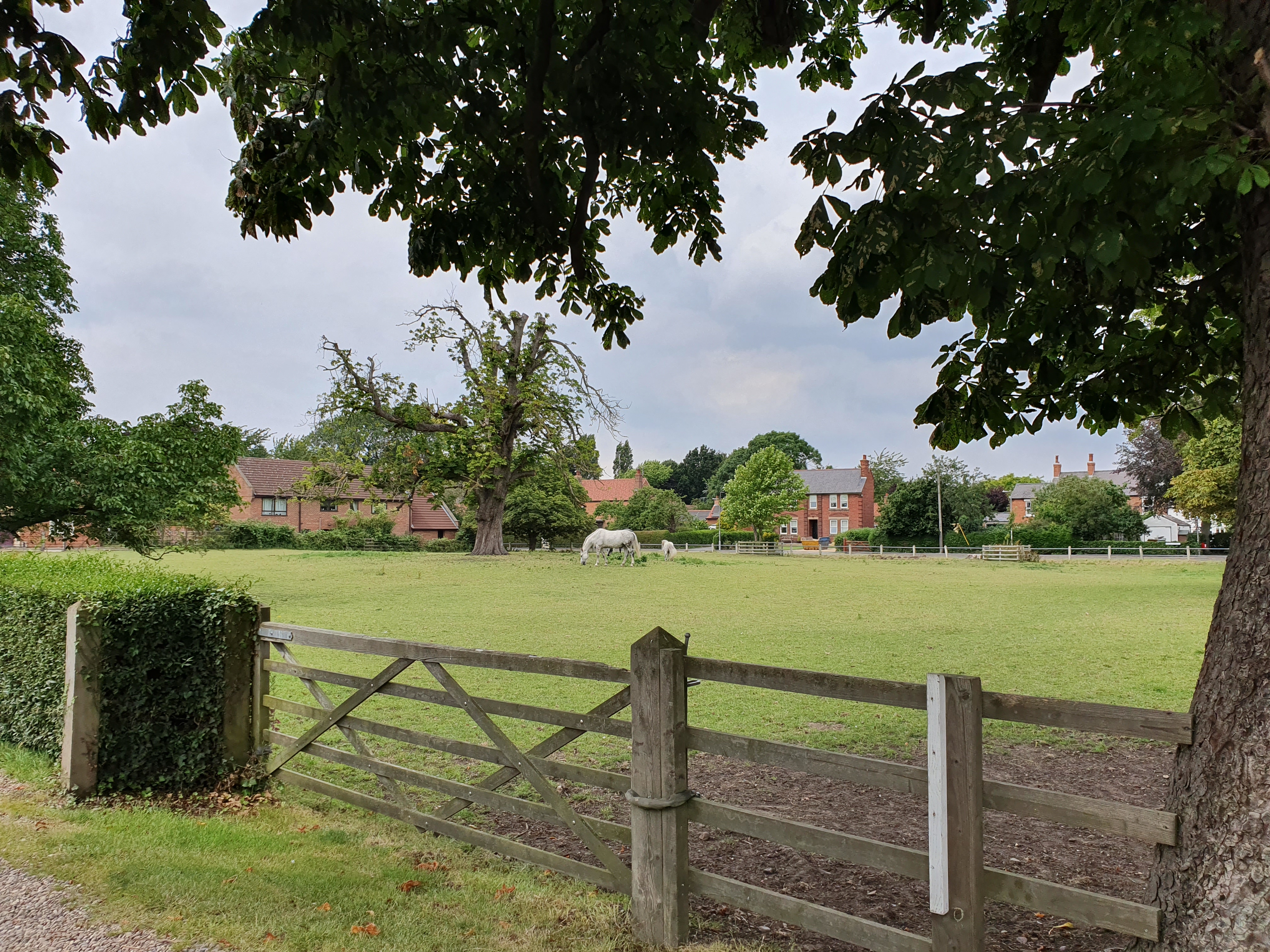
Grassthorpe
Grassthorpe is a small village and civil parish in the Newark and Sherwood district of Nottinghamshire, England. Population details are included in the...

Weston, Nottinghamshire
Weston is a village in Nottinghamshire, England. It is located 10 miles south of Retford. According to the 2001 census it had a population of 312, increasing...
Nearby Amenities
Located within 500m of 53.180729,-0.81945Have you been to Barrel Hill?
Leave your review of Barrel Hill below (or comments, questions and feedback).