Barkham Hill
Hill, Mountain in Berkshire
England
Barkham Hill

Barkham Hill is a prominent hill located in the county of Berkshire, England. Situated in the southern part of the county, it forms part of the wider Barkham Ridge, a range of hills that stretches across the area. With an elevation of approximately 190 meters (623 feet), Barkham Hill stands as one of the highest points in the region.
Covered in lush greenery, the hill offers stunning panoramic views of the surrounding countryside. Its slopes are predominantly covered in grass and dotted with occasional trees, creating a picturesque landscape. The hill is a popular spot for outdoor enthusiasts, attracting hikers, walkers, and nature lovers who come to explore its trails and take in the breathtaking vistas.
Barkham Hill is also known for its historical significance. The remains of an Iron Age hillfort can be found on its summit, providing a glimpse into the area's ancient past. The fortification serves as a reminder of the hill's strategic importance in ancient times, likely used as a defensive position.
Located just a few miles from the town of Wokingham, Barkham Hill offers a peaceful retreat from the bustling urban areas nearby. Its tranquil atmosphere and natural beauty make it a favored destination for those seeking solace in nature. Whether it's for a leisurely stroll or a challenging hike, Barkham Hill provides a memorable outdoor experience for visitors of all ages.
If you have any feedback on the listing, please let us know in the comments section below.
Barkham Hill Images
Images are sourced within 2km of 51.401617/-0.88371357 or Grid Reference SU7767. Thanks to Geograph Open Source API. All images are credited.


Barkham Hill is located at Grid Ref: SU7767 (Lat: 51.401617, Lng: -0.88371357)
Unitary Authority: Wokingham
Police Authority: Thames Valley
What 3 Words
///financial.blacked.puddings. Near Barkham, Berkshire
Nearby Locations
Related Wikis
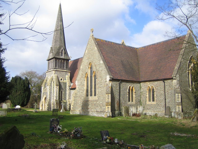
Barkham
Barkham is a village and civil parish in the borough of Wokingham in Berkshire, England, located around 2 miles (3.2 km) southwest of the town of Wokingham...

Bearwood Lakes Golf Club
Bearwood Lakes Golf Club is a golf club, located in Sindlesham, Berkshire, England. It was established in 1996. In 2019, a new purpose-built all-weather...

Bearwood House
Bearwood or Bear Wood, Sindlesham, Berkshire, England is a Victorian country house built for John Walter, the owner of The Times. The architect was Robert...
Reddam House, Berkshire
Reddam House Berkshire is a co-educational, independent school in Wokingham, in the English county of Berkshire. Reddam House provides education for boys...
Arborfield Cross
Arborfield Cross is a village in the civil parish of Arborfield and Newland in the Borough of Wokingham in the English county of Berkshire. == Location... ==
Sindlesham
Sindlesham is an estate village in the borough of Wokingham in Berkshire, England. It is located around 4 miles (6.4 km) southeast of Reading and around...

Woosehill
Woosehill is a suburb of Wokingham in the English county of Berkshire.Woosehill – spelled incorrectly as Woose Hill on Ordnance Survey maps – is the north...

Arborfield Green
Arborfield Green is a new village approximately 1 mile (1.6 km) south east of the village of Arborfield Cross in the English county of Berkshire, previously...
Nearby Amenities
Located within 500m of 51.401617,-0.88371357Have you been to Barkham Hill?
Leave your review of Barkham Hill below (or comments, questions and feedback).