Burrough Hill
Hill, Mountain in Leicestershire Melton
England
Burrough Hill

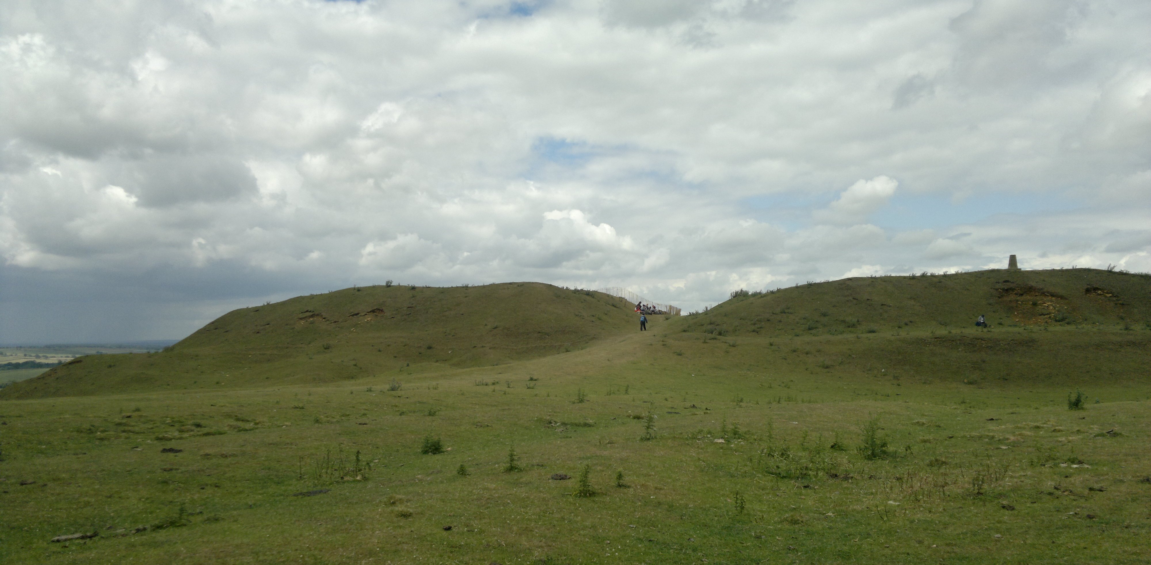
Burrough Hill is an ancient hillfort located in Leicestershire, England. Situated approximately 1.5 miles west of the village of Burrough on the Hill, it stands at an elevation of 210 meters above sea level, making it the highest point in the surrounding area. The hill is part of Burrough Hill Country Park, which covers an extensive area of 90 acres.
The hillfort itself dates back to the Iron Age, with evidence of occupation from around 500 BC to 50 AD. It is believed to have been inhabited by a Celtic tribe known as the Corieltauvi. The site is oval-shaped, encompassing an area of approximately 8.5 acres. The hillfort's defenses include multiple ramparts and ditches, which were likely constructed as a means of protection against potential invaders.
Today, Burrough Hill is a popular tourist destination due to its rich historical significance and breathtaking views of the surrounding Leicestershire countryside. Visitors can explore the hillfort's well-preserved earthworks while taking in the scenic vistas. The site is also renowned for its diverse wildlife, with various species of birds, butterflies, and wildflowers inhabiting the area.
Burrough Hill hosts a range of events throughout the year, including guided walks, archaeological digs, and educational programs for schools. The hillfort is managed by Leicestershire County Council, which works to preserve and promote the site's cultural and natural heritage.
In conclusion, Burrough Hill is an ancient hillfort in Leicestershire that offers visitors a glimpse into the region's Iron Age past. With its impressive earthworks and panoramic views, it remains a captivating destination for history enthusiasts and nature lovers alike.
If you have any feedback on the listing, please let us know in the comments section below.
Burrough Hill Images
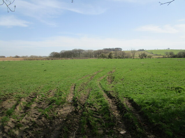
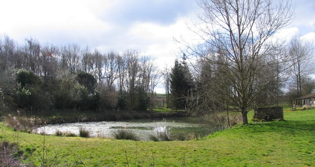
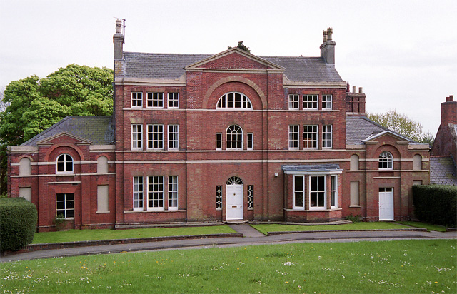
Images are sourced within 2km of 52.699244/-0.87385788 or Grid Reference SK7611. Thanks to Geograph Open Source API. All images are credited.


Burrough Hill is located at Grid Ref: SK7611 (Lat: 52.699244, Lng: -0.87385788)
Administrative County: Leicestershire
District: Melton
Police Authority: Leicestershire
What 3 Words
///error.squaring.index. Near Melton Mowbray, Leicestershire
Nearby Locations
Related Wikis
Burrough Hill
Burrough Hill is an Iron Age hillfort in Burrough on the Hill, 7 miles (11 km) south of Melton Mowbray in the English county of Leicestershire. Situated...

East Goscote Hundred
East Goscote Hundred was a hundred of Leicestershire, that arose from the division of the ancient Goscote hundred (also known as a Wapentake) into two...
Burrough on the Hill Manor
Burrough on the Hill Manor is an 18th-century brick-built house in the village of Burrough on the Hill, in the civil parish of Somerby, in the Melton district...
Burrough on the Hill
Burrough-on-the Hill is a small village and former civil parish, now in the parish of Somerby, in the Melton district, in the county of Leicestershire...

Burrough Court
Burrough Court is a former stately home in Burrough on the Hill near Melton Mowbray in the East Midlands, England. Burrough Court was once the site of...
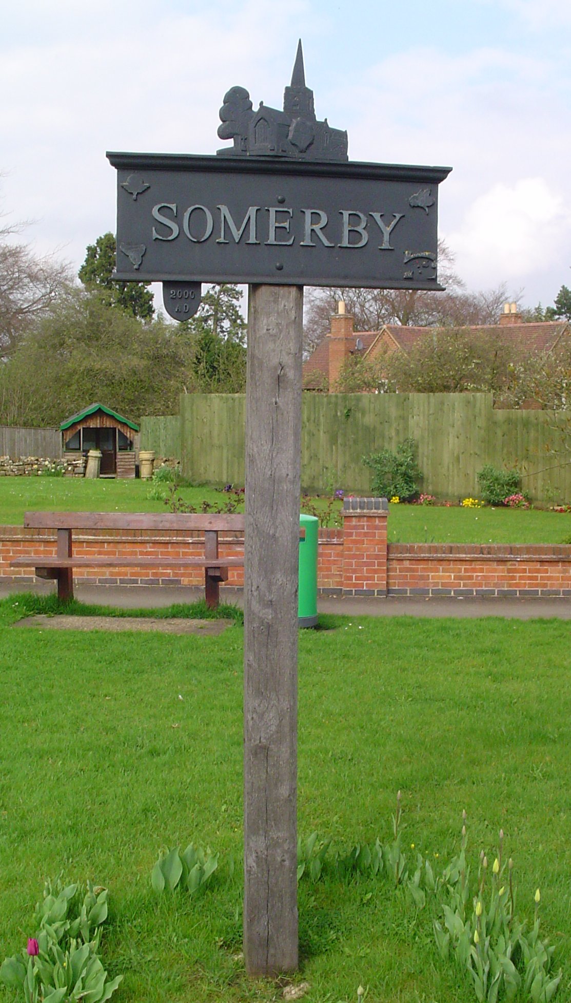
Somerby, Leicestershire
Somerby is a village and civil parish in the Melton district, in the county of Leicestershire, England. It is 5+1⁄2 miles (8.9 km) south of Melton Mowbray...

Pickwell
Pickwell is a small, hill-crest village 5 miles (8.0 km) south-east of Melton Mowbray in the Melton district, in Leicestershire which used to have an ecclesiastical...

John O' Gaunt railway station
John O'Gaunt railway station was a railway station serving the villages of Twyford, John O'Gaunt and Burrough on the Hill in Leicestershire, England. on...
Nearby Amenities
Located within 500m of 52.699244,-0.87385788Have you been to Burrough Hill?
Leave your review of Burrough Hill below (or comments, questions and feedback).