Drawback Hill
Hill, Mountain in Oxfordshire South Oxfordshire
England
Drawback Hill

Drawback Hill is a prominent landmark located in Oxfordshire, England. Situated in the rolling countryside, it is a hill that offers a picturesque view of the surrounding area. Although it is referred to as a hill, it could also be considered a small mountain due to its significant elevation.
Rising to a height of approximately 250 meters, Drawback Hill provides visitors with breathtaking panoramic vistas of Oxfordshire's stunning landscape. Its summit is easily accessible, either by foot or by car, and is a popular attraction for tourists and locals alike. The hill's location makes it an ideal spot for outdoor activities such as hiking, picnicking, and nature walks.
The name "Drawback Hill" is believed to have originated from its geographical features. It is said that the hill's steep incline and rugged terrain make it somewhat challenging to traverse, hence the name "Drawback." However, this drawback is compensated by the rewarding views that await those who reach the top.
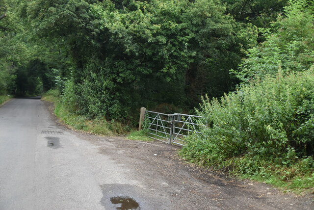
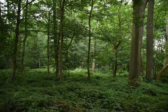
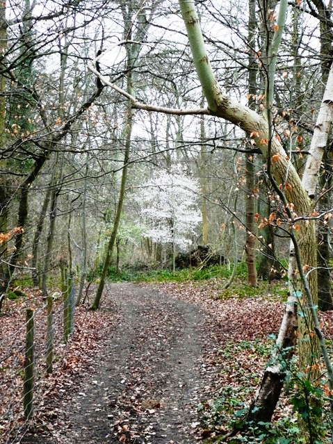
The hill is covered in lush greenery, with patches of wildflowers dotting the landscape during the spring and summer months. This natural beauty attracts a diverse range of wildlife, making it a haven for nature enthusiasts and photographers. Birdwatchers can spot various species of birds soaring in the skies above Drawback Hill.
Overall, Drawback Hill is a stunning natural formation that showcases the beauty of Oxfordshire's countryside. Its elevation, scenic views, and abundant wildlife make it an enchanting destination for those seeking a peaceful getaway or a challenging hike.
If you have any feedback on the listing, please let us know in the comments section below.
Drawback Hill Images
Images are sourced within 2km of 51.524973/-0.9110287 or Grid Reference SU7581. Thanks to Geograph Open Source API. All images are credited.


Drawback Hill is located at Grid Ref: SU7581 (Lat: 51.524973, Lng: -0.9110287)
Administrative County: Oxfordshire
District: South Oxfordshire
Police Authority: Thames Valley
What 3 Words
///dined.minds.exits. Near Henley-on-Thames, Oxfordshire
Nearby Locations
Related Wikis
Harpsden
Harpsden is a rural and semi-rural village and civil parish immediately south of Henley-on-Thames in South Oxfordshire, Oxfordshire, England. Its scattered...

Gillotts School
Gillotts School is a coeducational secondary school with academy status in Henley-on-Thames, Oxfordshire, England. The school is sited on a 33 acre verdant...
Harpsden Wood
Harpsden Wood is a 29.4-hectare (73-acre) biological Site of Special Scientific Interest south of Henley-on-Thames in Oxfordshire. It is owned by the Woodland...
The Henley College (Henley-on-Thames)
The Henley College is a sixth form college in Henley-on-Thames, Oxfordshire, England. It was founded as a tertiary college in 1987 and changed its status...
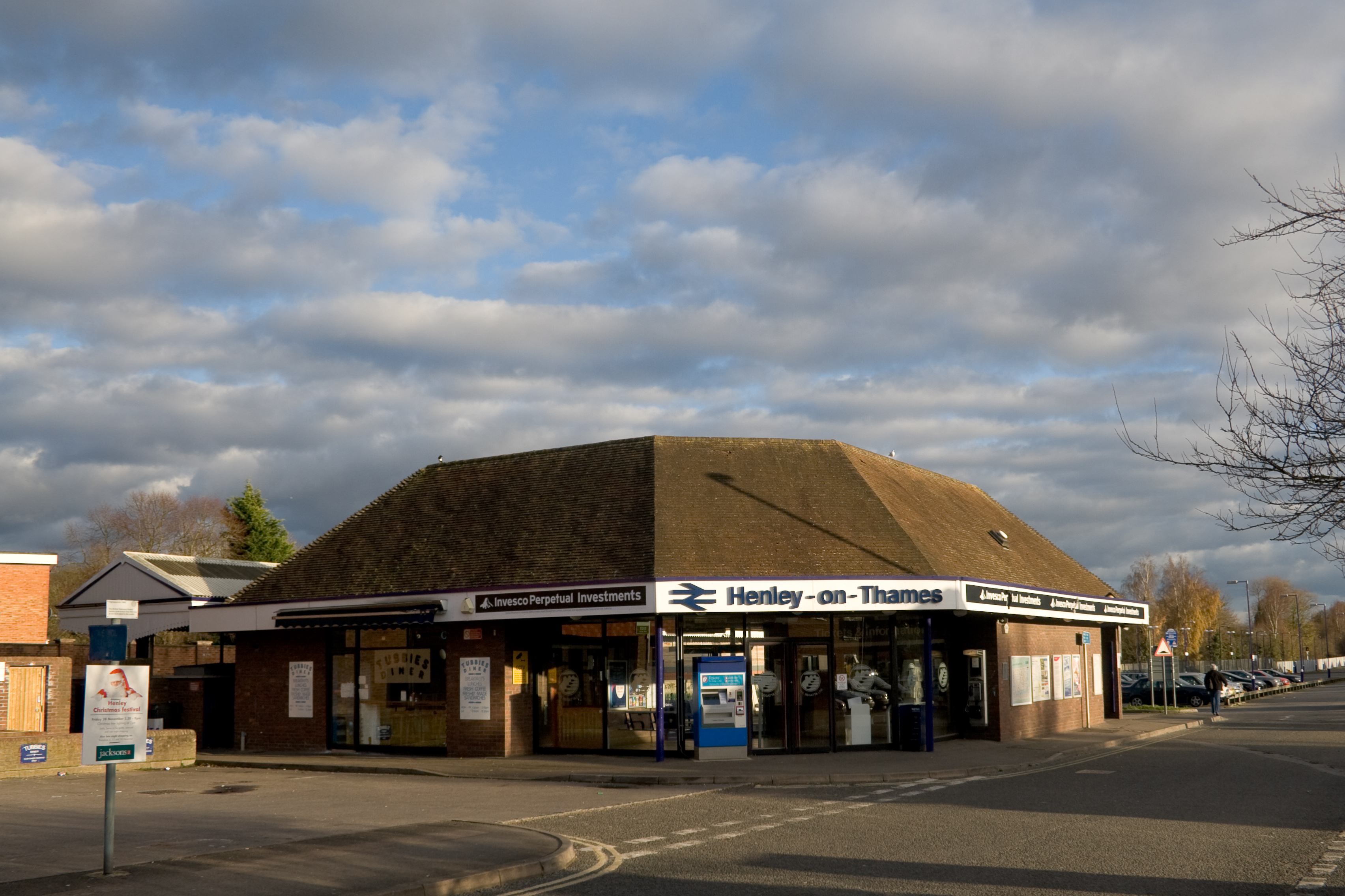
Henley-on-Thames railway station
Henley-on-Thames railway station is a terminal railway station in the town of Henley-on-Thames in Oxfordshire, England. The station is on the Henley-on...

River and Rowing Museum
The River & Rowing Museum in Henley-on-Thames, Oxfordshire, England, is located on a site at Mill Meadows by the River Thames. It has three main themes...

Henley-on-Thames
Henley-on-Thames ( HEN-lee) is a town and civil parish on the River Thames in Oxfordshire, England, 9 miles (14 km) northeast of Reading, 7 miles (11...
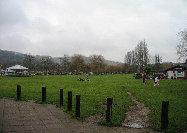
Mill Meadows, Henley-on-Thames
Mill Meadows is part of the flood plain of the River Thames at Henley-on-Thames, Oxfordshire, England. It is an area of natural beauty close to the town...
Nearby Amenities
Located within 500m of 51.524973,-0.9110287Have you been to Drawback Hill?
Leave your review of Drawback Hill below (or comments, questions and feedback).