First Hill
Hill, Mountain in Leicestershire Melton
England
First Hill

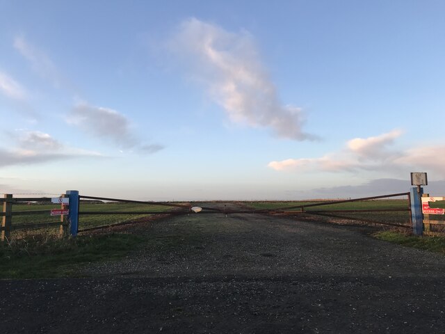
First Hill, located in Leicestershire, is a prominent geographical feature in the region. While it is referred to as a hill, it does not possess the characteristics of a traditional mountain. First Hill is known for its relatively gentle slopes and moderate elevation, making it more accurately described as a hill rather than a mountain.
Situated in the heart of Leicestershire, First Hill offers scenic views of the surrounding countryside. It is a popular destination for outdoor enthusiasts and nature lovers. The hill features open grasslands, scattered trees, and a diverse range of flora and fauna. It provides an idyllic setting for hiking, picnicking, and enjoying the tranquillity of the countryside.
First Hill is easily accessible, with well-maintained footpaths and trails leading to its summit. Visitors can explore the area on foot or by bike, taking advantage of the various routes available. From the top, one can admire the picturesque landscape, with rolling hills and farmland stretching as far as the eye can see.
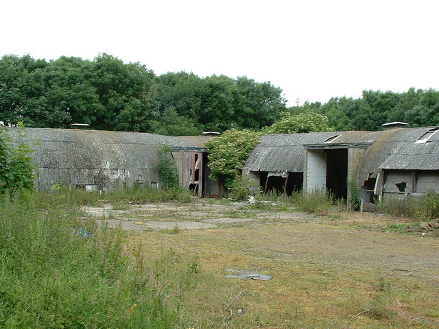
The hill's location also offers historical significance. It is believed to have played a role in ancient settlements, with archaeological evidence suggesting human activity in the area dating back thousands of years. Excavations have unearthed artifacts and remnants of structures, shedding light on the region's rich history.
Overall, First Hill in Leicestershire is a captivating destination for those seeking natural beauty and a glimpse into the past. Its gentle slopes, lush scenery, and historical significance make it a must-visit location for both locals and tourists alike.
If you have any feedback on the listing, please let us know in the comments section below.
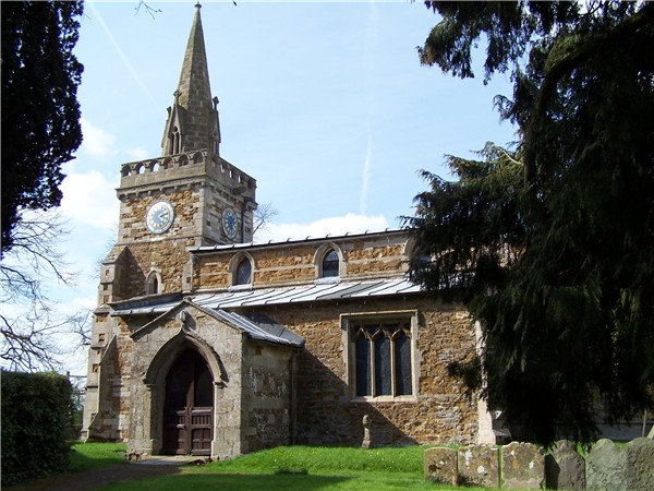
First Hill Images
Images are sourced within 2km of 52.720907/-0.8867882 or Grid Reference SK7514. Thanks to Geograph Open Source API. All images are credited.


First Hill is located at Grid Ref: SK7514 (Lat: 52.720907, Lng: -0.8867882)
Administrative County: Leicestershire
District: Melton
Police Authority: Leicestershire
What 3 Words
///northward.splashes.relay. Near Melton Mowbray, Leicestershire
Nearby Locations
Related Wikis
RAF Melton Mowbray
Royal Air Force Melton Mowbray or more simply RAF Melton Mowbray is a former Royal Air Force station located 2.3 miles (3.7 km) south of the centre of...

Burton and Dalby
Burton and Dalby is a civil parish in the Melton district of Leicestershire, England, to the south of Melton Mowbray. It covers the villages of Burton...

Great Dalby railway station
Great Dalby railway station was a railway station serving the village of Great Dalby, Leicestershire on the Great Northern and London and North Western...
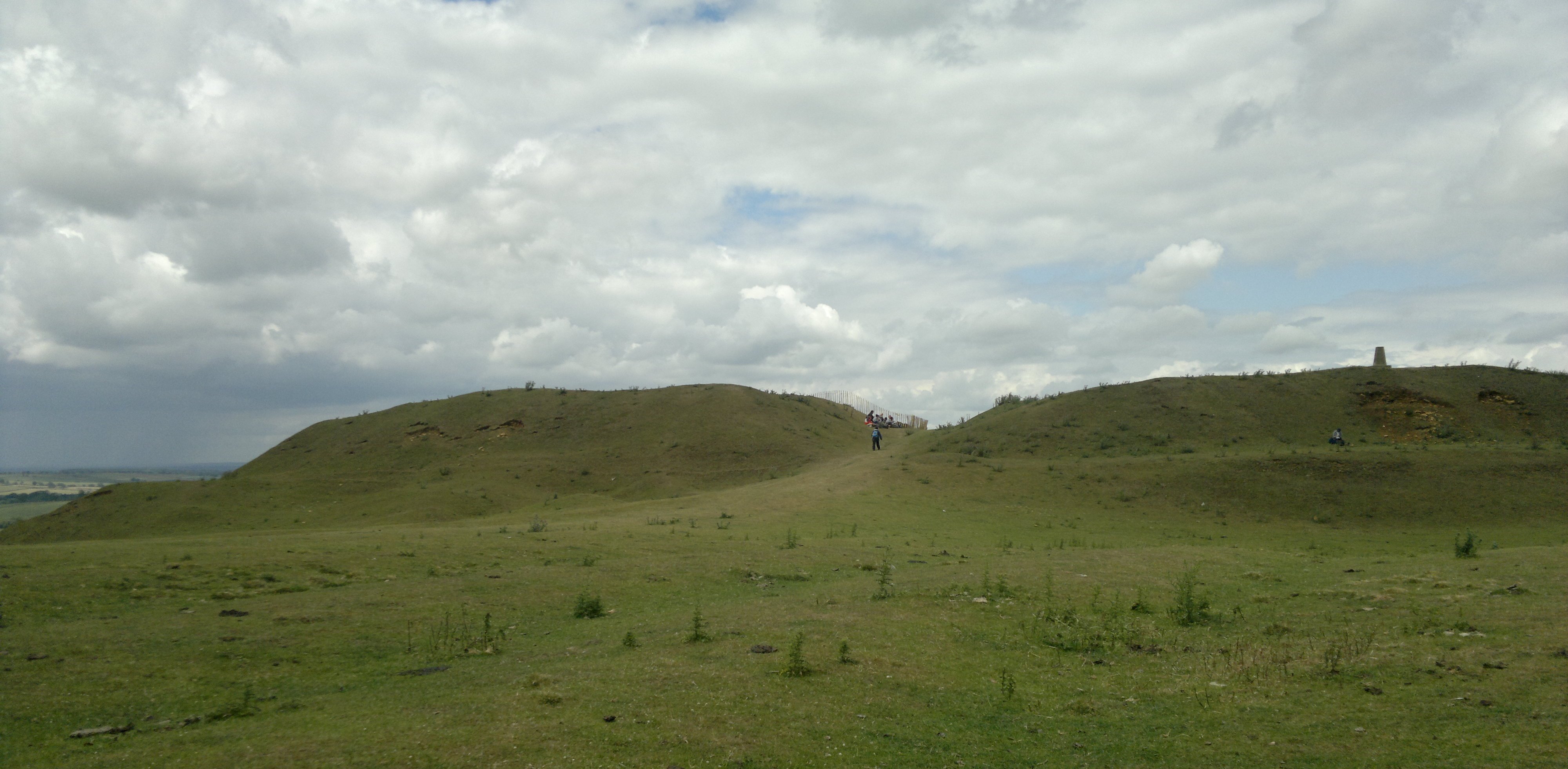
Burrough Hill
Burrough Hill is an Iron Age hillfort in Burrough on the Hill, 7 miles (11 km) south of Melton Mowbray in the English county of Leicestershire. Situated...

East Goscote Hundred
East Goscote Hundred was a hundred of Leicestershire, that arose from the division of the ancient Goscote hundred (also known as a Wapentake) into two...

Burton Lazars
Burton Lazars is a village and former civil parish, now in the parish of Burton and Dalby, in the Melton district, in the county of Leicestershire, England...
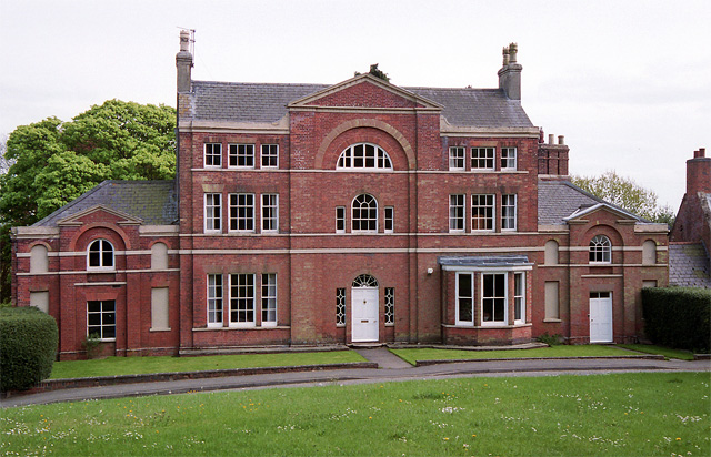
Burrough on the Hill Manor
Burrough on the Hill Manor is an 18th-century brick-built house in the village of Burrough on the Hill, in the civil parish of Somerby, in the Melton district...
Burrough on the Hill
Burrough-on-the Hill is a small village and former civil parish, now in the parish of Somerby, in the Melton district, in the county of Leicestershire...
Have you been to First Hill?
Leave your review of First Hill below (or comments, questions and feedback).