Beacon Hill

Hill, Mountain in Nottinghamshire Bassetlaw

England

Beacon Hill

Markham Clinton Trig Point Flush Bracket S1860
Markham Clinton Trig Point Flush Bracket S1860 Credit: thejackrustles

Beacon Hill is a prominent hill located in Nottinghamshire, England. Standing at an elevation of approximately 255 meters, it is considered one of the highest points in the county. The hill is situated within Beacon Hill Country Park, a renowned natural reserve that covers an area of about 135 hectares.

The hill is characterized by its distinctive landscape, featuring rolling hills, lush greenery, and panoramic views of the surrounding countryside. It is a popular destination for nature enthusiasts, hikers, and families looking for a scenic outdoor experience. The park offers an extensive network of walking trails, allowing visitors to explore the diverse flora and fauna that thrive in the area.

At the summit of Beacon Hill, there is a historic beacon that has stood for centuries. The beacon played a crucial role in the past, serving as a signal point to warn of potential enemy invasions or to communicate important messages. Today, it serves as a symbol of the hill's rich heritage and is a popular spot for visitors to enjoy breathtaking vistas of the Nottinghamshire landscape.

Beacon Hill Country Park also offers various recreational activities, including picnicking, birdwatching, and orienteering. The park has well-maintained facilities, including a visitor center, car park, and toilets, ensuring a comfortable experience for visitors of all ages.

Overall, Beacon Hill in Nottinghamshire is a cherished natural landmark that offers a unique blend of history, natural beauty, and recreational opportunities. Whether one seeks a peaceful stroll amidst nature or wishes to engage in more active pursuits, this hill is a must-visit destination for anyone exploring the region.

If you have any feedback on the listing, please let us know in the comments section below.
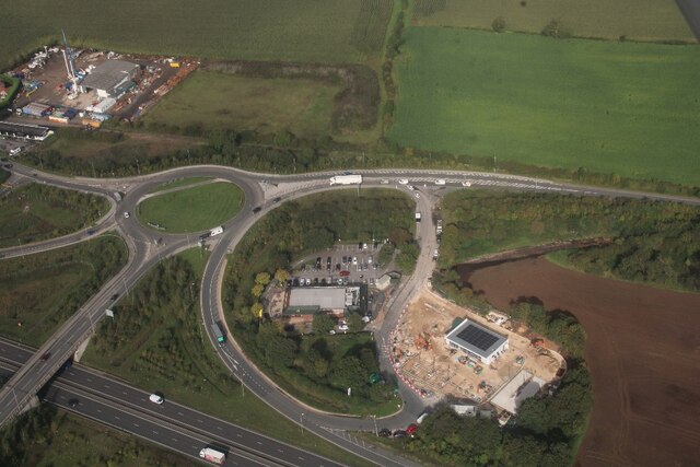
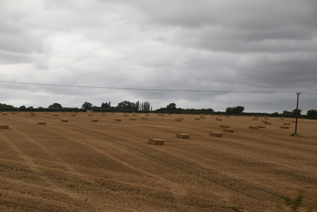
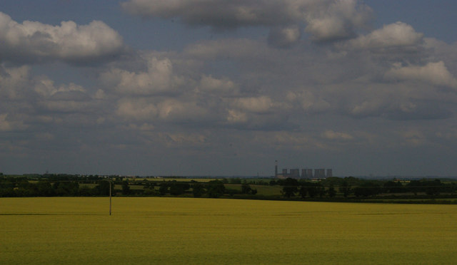
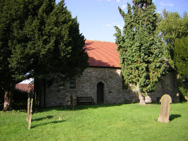
Beacon Hill Images

Images are sourced within 2km of 53.253397/-0.91282636 or Grid Reference SK7273. Thanks to Geograph Open Source API. All images are credited.

Markham Clinton Trig Point Flush Bracket S1860
Lane into Askham. Entering the village from the south.
Lane into Askham.
Entering the village from the south.
Low bridge on lane to Askham. Low rail bridge
Low bridge on lane to Askham.
Low rail bridge
Plantation Road A street in East Markham.
Plantation Road
A street in East Markham.
Church and Footpath through the churchyard. A walk through East Markham.
Church and Footpath through the churchyard.
A walk through East Markham.
All Saints' Church in West Markham Attractive old church in West Markham.
All Saints' Church in West Markham
Attractive old church in West Markham.
Milton Mausoleum. Alongside the lane to West Markham.
Milton Mausoleum.
Alongside the lane to West Markham.
The River Maun. The River runs alongside the village of Milton.
The River Maun.
The River runs alongside the village of Milton.
A57 near Markham
A57 near Markham
A57, Broad Gate
A57, Broad Gate
A  wet  day  at  Markham  Moor  Services Exiting Starbucks onto the service road to the roundabout. The A1 beyond. The roof of Starbucks is of a Hyperbolic Paraboloid design, if you want to be even more confused look that up!!
A wet day at Markham Moor Services
Exiting Starbucks onto the service road to the roundabout. The A1 beyond. The roof of Starbucks is of a Hyperbolic Paraboloid design, if you want to be even more confused look that up!!
Markham Moor interchange, services and industry: aerial 2023 (1)
Markham Moor interchange, services and industry: aerial 2023 (2)
Askham: aerial 2023 (1)
Arable land
Arable land
Bales in field
Bales in field
View into the Trent valley from the higher ground near Askham In the distance, the power station on the Trent at Cottam, one of a string along the river.
View into the Trent valley from the higher ground near Askham
In the distance, the power station on the Trent at Cottam, one of a string along the river.
Tuxford Windmill Built in 1820, Tuxford Tower Mill is Nottinghamshire’s only fully working independent wind-powered flour mill. It was restored to working order between 1982 and 1993.
Tuxford Windmill
Built in 1820, Tuxford Tower Mill is Nottinghamshire’s only fully working independent wind-powered flour mill. It was restored to working order between 1982 and 1993.
Show me another place!

Beacon Hill is located at Grid Ref: SK7273 (Lat: 53.253397, Lng: -0.91282636)

Administrative County: Nottinghamshire

District: Bassetlaw

Police Authority: Nottinghamshire

What 3 Words

///shins.terminology.fluffed. Near East Markham, Nottinghamshire

Related Wikis

Markham Moor

Markham Moor is a village which lies five miles south of the town of Retford in Nottinghamshire. The village is in the civil parish of West Drayton. Markham...

West Markham

West Markham or Markham Clinton is a village and civil parish 23 miles (37 km) north east of Nottingham, in the Bassetlaw district, in the county of Nottinghamshire...

All Saints' Church, West Markham

All Saints' Church is a Grade I listed parish church in the Church of England serving the parish of Markham Clinton in West Markham, Nottinghamshire....
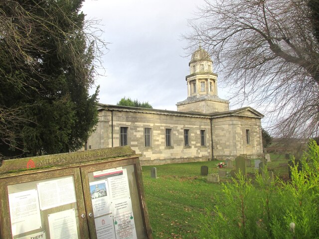
Milton Mausoleum

The Milton Mausoleum is a redundant Anglican church in the village of Milton, Nottinghamshire, England. It is recorded in the National Heritage List for...

Milton, Nottinghamshire

Milton is a hamlet in Nottinghamshire. It is part of West Markham civil parish, a short distance northwest of West Markham and southwest of Sibthorpe....

St Paul's Church, West Drayton

St Paul's Church is a Grade II* listed parish church in the Church of England in West Drayton, Nottinghamshire. == History == The church dates from the...

Askham, Nottinghamshire

Askham is a village and civil parish in the Bassetlaw district of Nottinghamshire, England, about six miles south-east of East Retford. According to the...

East Markham

East Markham, historically also known as Great Markham, is a small village and civil parish near Tuxford, Nottinghamshire. The population of the civil...

Nearby Amenities

Located within 500m of 53.253397,-0.91282636
Sibthorpe
Place: hamlet
Wikidata: Q2341624
Wikipedia: en:Sibthorpe
Lat/Long: 53.252913/-0.919782
Bus Stop
Mussel and Crab
Bus: yes
Naptan AtcoCode: 3300BA0648
Naptan Bearing: S
Naptan CommonName: Mussel and Crab
Naptan Indicator: opp
Naptan Landmark: Mussel and Crab
Naptan NaptanCode: ntsgdmwd
Naptan Notes: BW--3300BA0919
Naptan Street: Great North Road
Naptan Verified: yes
Public Transport: platform
Source: naptan_import
Lat/Long: 53.2518716/-0.9186898
Bus Stop
Mussel and Crab
Bus: yes
Naptan AtcoCode: 3300BA0919
Naptan Bearing: N
Naptan BusStopType: CUS
Naptan CommonName: Mussel and Crab
Naptan Indicator: adj
Naptan Landmark: Mussel and Crab
Naptan NaptanCode: ntsgmdaw
Naptan Notes: CUS--3300BA0648
Naptan Street: Great North Road
Naptan Verified: no
Public Transport: platform
Source: naptan_import
Lat/Long: 53.2516197/-0.9186662
Motorway Junction
Markham Moor
Lat/Long: 53.25382/-0.9188618
Post Box
Ref: NG22 225
Source: Survey
Lat/Long: 53.2527674/-0.9195672
Direction: 235
Generator Method: photovoltaic
Generator Output Electricity: yes
Generator Solar Modules: 12
Generator Source: solar
Generator Type: solar_photovoltaic_panel
Location: roof
Power: generator
Lat/Long: 53.2526954/-0.9192117
The data included in this document is from www.openstreetmap.org. The data is made available under ODbL.

Have you been to Beacon Hill?

Leave your review of Beacon Hill below (or comments, questions and feedback).