Clawson Hill

Hill, Mountain in Leicestershire Melton

England

Clawson Hill

Grass field off Clawson Lane A hazy Vale of Belvour beyond.
Grass field off Clawson Lane Credit: Jonathan Thacker

Clawson Hill is a prominent geographical feature located in Leicestershire, England. Situated in the southern part of the county, Clawson Hill is part of the picturesque landscape that characterizes this region. Despite its name, Clawson Hill is not actually a mountain but rather a modest hill that rises to an elevation of about 150 meters (492 feet) above sea level.

Covered in lush greenery, Clawson Hill offers stunning panoramic views of the surrounding countryside. It is known for its gentle slopes and undulating terrain, making it a popular destination for hikers and nature enthusiasts. The hill is rich in biodiversity, with a variety of plant and animal species thriving in its ecosystem.

At the summit of Clawson Hill, visitors can find a small observation point where they can take in the breathtaking vistas of the Leicestershire countryside. On clear days, the view extends for miles, allowing spectators to appreciate the beauty of the rolling hills, meandering rivers, and picturesque villages that dot the landscape.

The hill is easily accessible via footpaths and is a favorite spot for local residents to enjoy outdoor activities such as walking, cycling, and picnicking. Many visitors also come to Clawson Hill to witness the stunning sunrises and sunsets that grace its skies.

Overall, Clawson Hill is a peaceful and scenic location that offers a tranquil escape from the hustle and bustle of daily life. Its natural beauty and recreational opportunities make it a cherished landmark in Leicestershire.

If you have any feedback on the listing, please let us know in the comments section below.
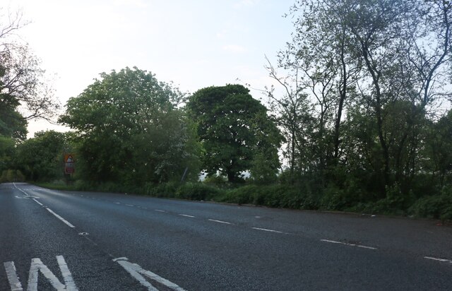
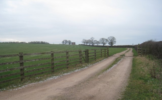
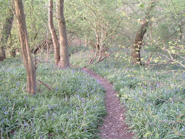
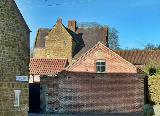
Clawson Hill Images

Images are sourced within 2km of 52.821484/-0.92559393 or Grid Reference SK7225. Thanks to Geograph Open Source API. All images are credited.

Grass field off Clawson Lane A hazy Vale of Belvour beyond.
Grass field off Clawson Lane
A hazy Vale of Belvour beyond.
Mill Farm seen from Sandpit Lane, Long Clawson Mill Farm is in the centre of the picture.
Mill Farm seen from Sandpit Lane, Long Clawson
Mill Farm is in the centre of the picture.
Sand Pit Lane, Long Clawson
Grass field and horses, Long Clawson
Footpath and houses, Long Clawson
Clawson Lane
Clawson Lane
Autumn sown field off Nursery Lane
Nottingham Road, Broughton Hill
A crossing of salt ways The green lane following the route of 'le ferdgate' (used as a saltway <span class="nowrap"><a title="https://epns.nottingham.ac.uk/browse/id/53285cd4b47fc40adf00110f-Framland+Hundred" rel="nofollow ugc noopener" href="https://epns.nottingham.ac.uk/browse/id/53285cd4b47fc40adf00110f-Framland+Hundred">Link</a><img style="margin-left:2px;" alt="External link" title="External link - shift click to open in new window" src="https://s1.geograph.org.uk/img/external.png" width="10" height="10"/></span> ) crossing Langdyke Lane, the route of the Roman road Margary 58a (aka the Salt Way).
A crossing of salt ways
The green lane following the route of 'le ferdgate' (used as a saltway LinkExternal link ) crossing Langdyke Lane, the route of the Roman road Margary 58a (aka the Salt Way).
Core sample by old railway line This core sample has been discarded next to the deep cutting carrying the former Midland Railway line between Holwell and Wycomb Junction. Perhaps someone is thinking of resuming ironstone quarrying in this area?
Core sample by old railway line
This core sample has been discarded next to the deep cutting carrying the former Midland Railway line between Holwell and Wycomb Junction. Perhaps someone is thinking of resuming ironstone quarrying in this area?
The Old Manor House, Long Clawson Shows a contrast between the ironstone used in the construction of the building and the freestone used for window surrounds.
The Old Manor House, Long Clawson
Shows a contrast between the ironstone used in the construction of the building and the freestone used for window surrounds.
The track to Clawson Hill Farm Looks isolated and bleak on a cold February afternoon.
The track to Clawson Hill Farm
Looks isolated and bleak on a cold February afternoon.
Bridleway to Clawson Lane Obliterated by ploughing.
Bridleway to Clawson Lane
Obliterated by ploughing.
Footpath at Long Clawson Successive diversions of this path around the site of Long Clawson Dairies has made it far from the short cut from the Nether Broughton road into the village that it once was. Nonetheless it probably makes a convenient route for dog-walkers.
Footpath at Long Clawson
Successive diversions of this path around the site of Long Clawson Dairies has made it far from the short cut from the Nether Broughton road into the village that it once was. Nonetheless it probably makes a convenient route for dog-walkers.
Abandoned field The location of this field close to the village suggests that it is planned (at least in someone's mind) that it should be developed.
Abandoned field
The location of this field close to the village suggests that it is planned (at least in someone's mind) that it should be developed.
Entrance to a footpath Long Clawson Dairy in the background. Note also the exotic planting of eucalyptus.
Entrance to a footpath
Long Clawson Dairy in the background. Note also the exotic planting of eucalyptus.
A606 at the top of Broughton Hill Heading towards Nottingham
A606 at the top of Broughton Hill
Heading towards Nottingham
Show me another place!

Clawson Hill is located at Grid Ref: SK7225 (Lat: 52.821484, Lng: -0.92559393)

Administrative County: Leicestershire

District: Melton

Police Authority: Leicestershire

What 3 Words

///shrug.pinks.picture. Near Long Clawson, Leicestershire

Nearby Locations

Clawson Hill

Related Wikis

Holwell Mouth

Holwell Mouth is a 14.5-hectare (36-acre) biological Site of Special Scientific Interest south-east of Nether Broughton in Leicestershire. It is common...

Long Clawson

Long Clawson is a village and former civil parish, now included in that of Clawson, Hose and Harby, in the Melton district and the county of Leicestershire...

Ab Kettleby Manor

Ab Kettleby Manor is an early 17th-century house in the village of Ab Kettleby, Leicestershire. Built of ironstone with a central brick chimney the house...

Ab Kettleby

Ab Kettleby is a village and civil parish in the Melton district of Leicestershire, England, located 3 miles (4.8 km) north of Melton Mowbray, on the A606...

Nearby Amenities

Located within 500m of 52.821484,-0.92559393
LONGCLAWSONA5
Man Made: petroleum_well
Source: DECC
Lat/Long: 52.8240589/-0.9200778
LONGCLAWSON2
Disused: yes
Man Made: petroleum_well
Ref GB Decc: LO/06-4
Source: DECC
Lat/Long: 52.82325/-0.9246667
LONGCLAWSONC1
Disused: yes
Man Made: petroleum_well
Ref GB Decc: LO/06-C1
Source: DECC
Lat/Long: 52.8207778/-0.9210833
LONGCLAWSON4
Disused: yes
Man Made: petroleum_well
Ref GB Decc: LO/06-A2
Source: DECC
Lat/Long: 52.8231667/-0.9246944
LONGCLAWSON5
Disused: yes
Man Made: petroleum_well
Ref GB Decc: LO/06-A3
Source: DECC
Lat/Long: 52.8233056/-0.9247778
LONGCLAWSONA5Z
Disused: yes
Man Made: petroleum_well
Ref GB Decc: LO/06-A5Z
Source: DECC
Lat/Long: 52.8232917/-0.924775
LONGCLAWSONC2
Disused: yes
Man Made: petroleum_well
Ref GB Decc: LO/06-C2
Source: DECC
Lat/Long: 52.8221944/-0.9210556
The data included in this document is from www.openstreetmap.org. The data is made available under ODbL.

Have you been to Clawson Hill?

Leave your review of Clawson Hill below (or comments, questions and feedback).