Broughton Hill

Hill, Mountain in Leicestershire Melton

England

Broughton Hill

Bridleway to Wartnaby
Bridleway to Wartnaby Credit: Jonathan Thacker

Broughton Hill is a prominent geographical feature located in Leicestershire, England. It is classified as a hill rather than a mountain, as it stands at an elevation of approximately 220 meters above sea level. Situated in the northeastern part of the county, Broughton Hill is part of the Charnwood Forest range.

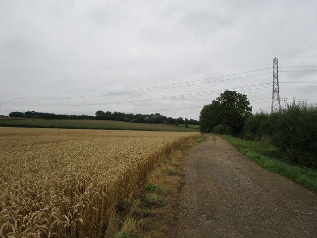
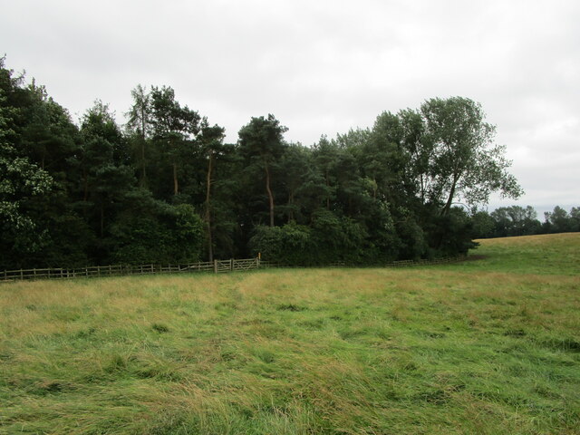
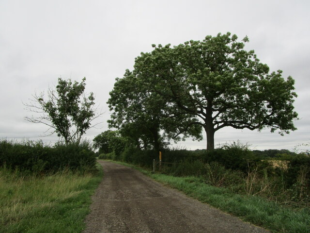
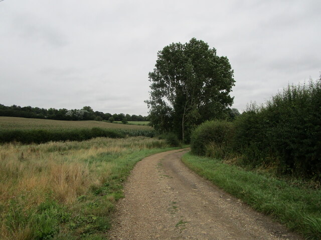
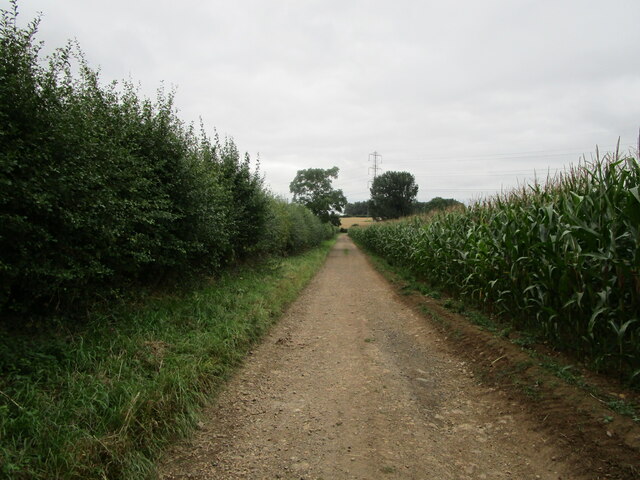
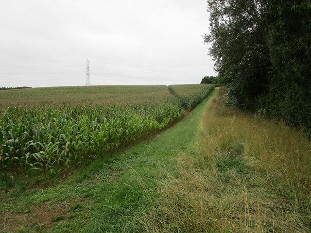
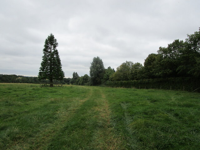
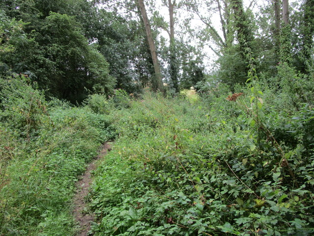
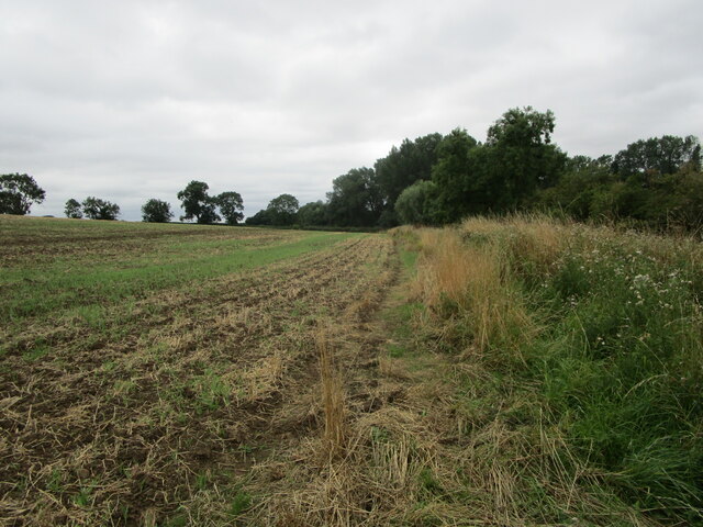
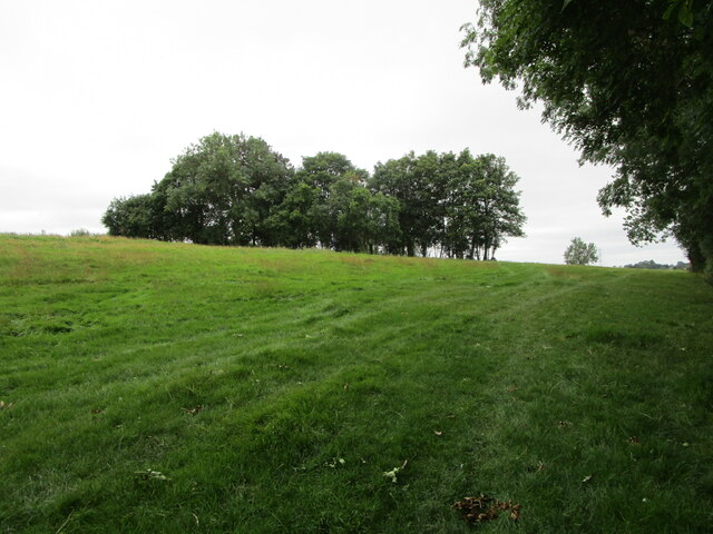
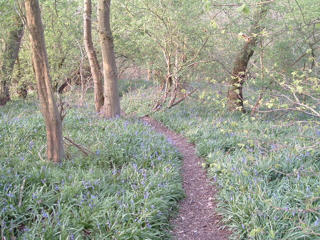
The hill is known for its picturesque surroundings and offers panoramic views of the surrounding countryside. It is covered in lush green vegetation, consisting of a mix of deciduous and coniferous trees. The hill’s slopes are gentle, making it accessible for hikers and nature enthusiasts of all levels of experience. The landscape is further enhanced by the presence of numerous walking trails and footpaths, allowing visitors to explore the area at their leisure.

Broughton Hill is also home to a variety of wildlife, with several species of birds, mammals, and insects making their habitat here. Nature lovers can spot rabbits, squirrels, and even the occasional deer during their visit. The hill’s diverse flora and fauna add to its appeal, attracting both locals and tourists alike.

In addition to its natural beauty, Broughton Hill has historical significance. It is believed that the hill was used as a settlement during the Iron Age, with evidence of ancient burial mounds and earthworks found in the vicinity. These archaeological features provide insights into the hill’s past and offer a glimpse into the lives of its early inhabitants.

Overall, Broughton Hill is a captivating destination in Leicestershire, offering a blend of natural wonders and historical intrigue. Its accessibility, scenic views, and rich biodiversity make it a popular spot for outdoor enthusiasts and those seeking a peaceful retreat in the heart of England.

If you have any feedback on the listing, please let us know in the comments section below.

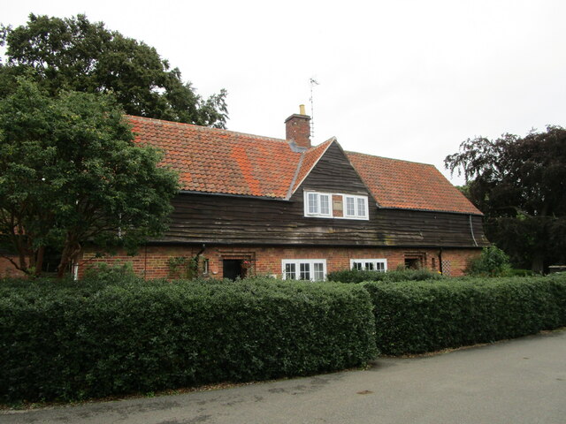
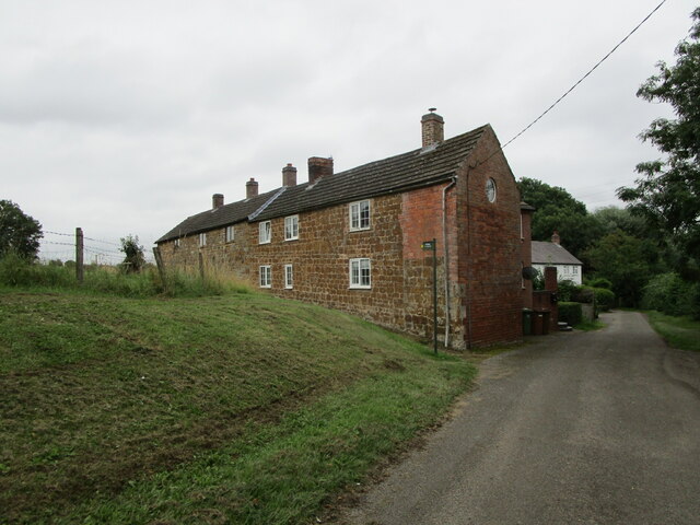
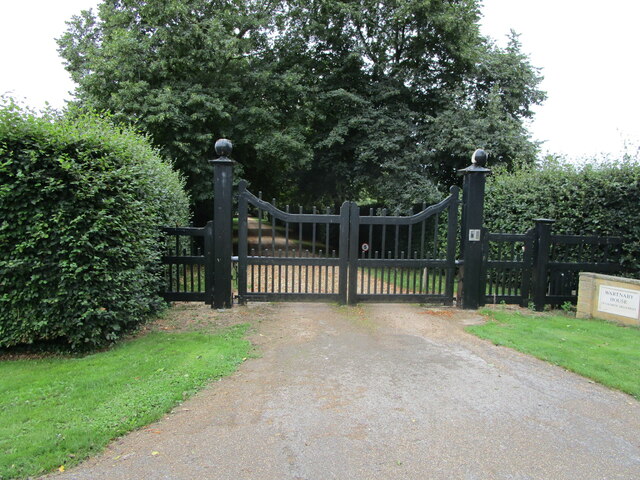
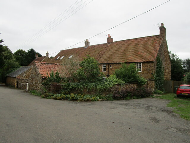
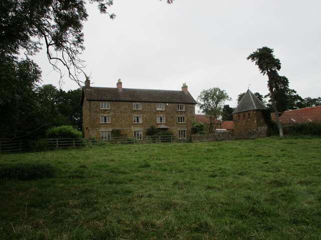
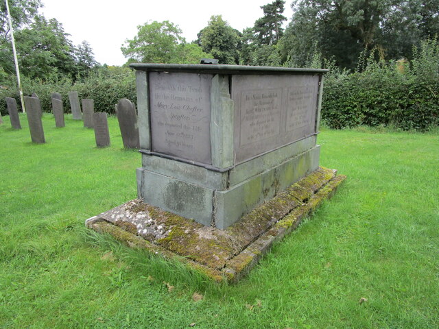
Broughton Hill Images

Images are sourced within 2km of 52.80812/-0.94402254 or Grid Reference SK7123. Thanks to Geograph Open Source API. All images are credited.

Bridleway to Wartnaby
Cottages at Wartnaby Date from the 1930s.
Cottages at Wartnaby
Date from the 1930s.
Cottages, Spring Lane, Wartnaby
Bridleway approaching woodland near Wartnaby The bridleway seemed little used, the grass being long and wet.
Bridleway approaching woodland near Wartnaby
The bridleway seemed little used, the grass being long and wet.
Bridleway to Grimston
Bridleway to Wartnaby
Bend in a bridleway to Wartnaby
Bridleway to Grimston Alongside a field of maize.
Bridleway to Grimston
Alongside a field of maize.
Footpath to Old Dalby Cuts through a field of maize.
Footpath to Old Dalby
Cuts through a field of maize.
Wartnaby House, tradesmen's entrance
Cottages at Wartnaby
Church Farmhouse, Wartnaby Dated from about 1800 <span class="nowrap"><a title="https://historicengland.org.uk/listing/the-list/list-entry/1178265" rel="nofollow ugc noopener" href="https://historicengland.org.uk/listing/the-list/list-entry/1178265">Link</a><img style="margin-left:2px;" alt="External link" title="External link - shift click to open in new window" src="https://s1.geograph.org.uk/img/external.png" width="10" height="10"/></span> The dovecote on the right is broadly contemporary <span class="nowrap"><a title="https://historicengland.org.uk/listing/the-list/list-entry/1178267" rel="nofollow ugc noopener" href="https://historicengland.org.uk/listing/the-list/list-entry/1178267">Link</a><img style="margin-left:2px;" alt="External link" title="External link - shift click to open in new window" src="https://s1.geograph.org.uk/img/external.png" width="10" height="10"/></span>
Church Farmhouse, Wartnaby
Dated from about 1800 LinkExternal link The dovecote on the right is broadly contemporary LinkExternal link
Chest tomb at Wartnaby Dated 1737 <span class="nowrap"><a title="https://historicengland.org.uk/listing/the-list/list-entry/1360845" rel="nofollow ugc noopener" href="https://historicengland.org.uk/listing/the-list/list-entry/1360845">Link</a><img style="margin-left:2px;" alt="External link" title="External link - shift click to open in new window" src="https://s1.geograph.org.uk/img/external.png" width="10" height="10"/></span>
Chest tomb at Wartnaby
Dated 1737 LinkExternal link
Chest tomb at Wartnaby Dated 1799 <span class="nowrap"><a title="https://historicengland.org.uk/listing/the-list/list-entry/1178259" rel="nofollow ugc noopener" href="https://historicengland.org.uk/listing/the-list/list-entry/1178259">Link</a><img style="margin-left:2px;" alt="External link" title="External link - shift click to open in new window" src="https://s1.geograph.org.uk/img/external.png" width="10" height="10"/></span>
Chest tomb at Wartnaby
Dated 1799 LinkExternal link
Bridleway to Saxelbye
Bridleway to Saxelbye Passing though a patch of woodland near Wartnaby.
Bridleway to Saxelbye
Passing though a patch of woodland near Wartnaby.
Bridleway to Saxelbye Passing alongside a harrowed field.
Bridleway to Saxelbye
Passing alongside a harrowed field.
Bridleway to Saxelbye Approaching a clump of trees.
Bridleway to Saxelbye
Approaching a clump of trees.
Show me another place!

Broughton Hill is located at Grid Ref: SK7123 (Lat: 52.80812, Lng: -0.94402254)

Administrative County: Leicestershire

District: Melton

Police Authority: Leicestershire

What 3 Words

///defenders.frizz.lectures. Near Long Clawson, Leicestershire

Nearby Locations

Wartnaby Broughton Hill

Related Wikis

Holwell Mouth

Holwell Mouth is a 14.5-hectare (36-acre) biological Site of Special Scientific Interest south-east of Nether Broughton in Leicestershire. It is common...

Ab Kettleby Manor

Ab Kettleby Manor is an early 17th-century house in the village of Ab Kettleby, Leicestershire. Built of ironstone with a central brick chimney the house...

St James' Church, Ab Kettleby

St James’ Church, Ab Kettleby is a Grade II* listed parish church in the Church of England in Ab Kettleby, Leicestershire. == History == The church dates...

Ab Kettleby

Ab Kettleby is a village and civil parish in the Melton district of Leicestershire, England, located 3 miles (4.8 km) north of Melton Mowbray, on the A606...

Hickling, Nottinghamshire

Hickling is a village in the Rushcliffe borough of Nottinghamshire, England. It is located close to the border with Leicestershire, approximately 8 miles...

Holwell Reserves

Holwell Reserves is a 16.4 hectares (41 acres) nature reserve north of Melton Mowbray in Leicestershire. It is owned and managed by the Leicestershire...

Melton Rural District

Melton was a rural district in Leicestershire, England from 1894 to 1935. It was created in 1894 under the Local Government Act 1894 as a successor to...

Broughton and Old Dalby

Broughton and Old Dalby is a civil parish in the Melton district of Leicestershire, England. According to the 2001 census it had a population of 1,400...

Nearby Amenities

Located within 500m of 52.80812,-0.94402254
Parking Space
Lat/Long: 52.8057195/-0.9453958
Post Box
Collection Times: Mo-Fr 16:00; Sa 09:15
Operator: Royal Mail
Post Box Mounting: pier
Post Box Type: lamp
Ref: LE14 50
Royal Cypher: EIIR
Royal Cypher Wikidata: Q33102113
Source: survey
Lat/Long: 52.805982/-0.9432148
Fixme: continue
Lat/Long: 52.806105/-0.9433006
Barrier: stile
Material: wood
Source: survey
Step Count: 1
Stile: stepover
Lat/Long: 52.8060725/-0.9432871
Barrier: stile
Material: wood
Source: survey
Step Count: 1
Stile: stepover
Lat/Long: 52.8060107/-0.9432615
The data included in this document is from www.openstreetmap.org. The data is made available under ODbL.

Have you been to Broughton Hill?

Leave your review of Broughton Hill below (or comments, questions and feedback).