Great Cookley Hill

Hill, Mountain in Oxfordshire South Oxfordshire

England

Great Cookley Hill

Ploughed field near Cookley Green
Ploughed field near Cookley Green Credit: Simon Mortimer

Great Cookley Hill is a prominent hill located in the county of Oxfordshire, England. With an elevation of approximately 260 meters (853 feet), it stands as a notable feature of the local landscape. The hill is situated within the Chiltern Hills, a range known for its natural beauty and scenic views.

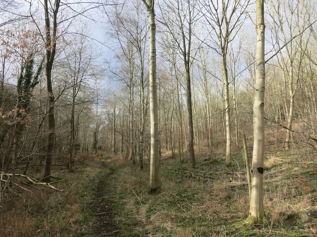
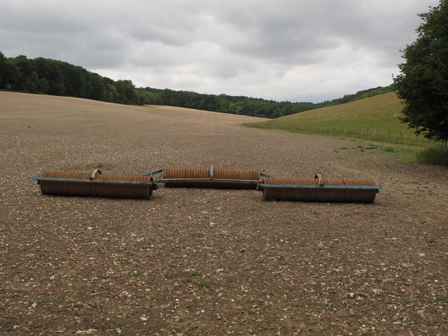
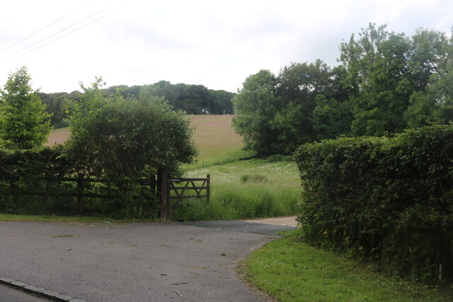
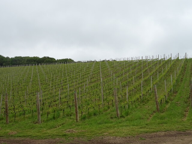
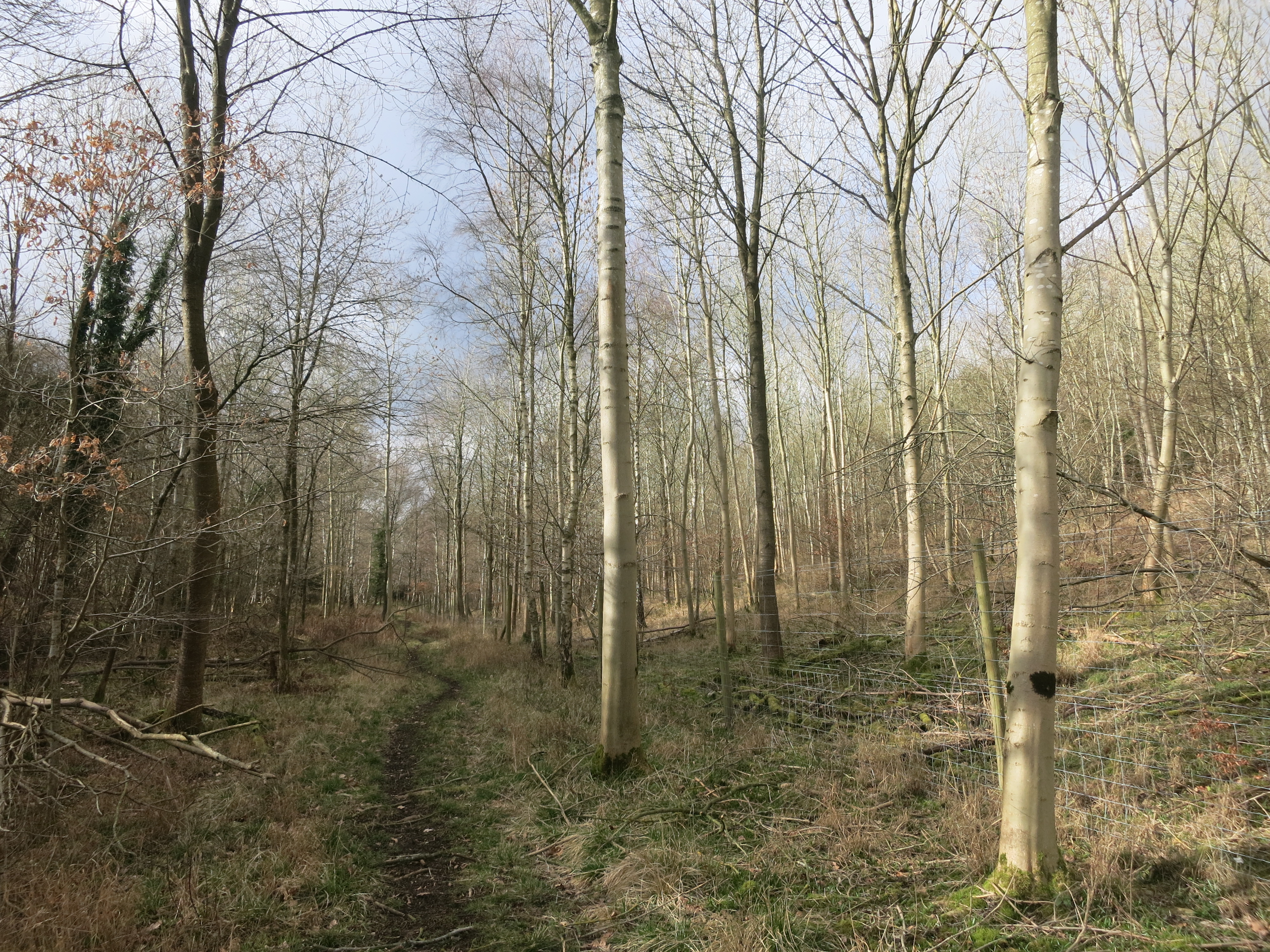
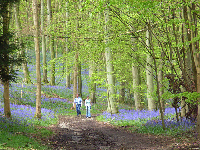
Great Cookley Hill offers visitors a chance to experience the stunning countryside of Oxfordshire. The hill is covered in lush green vegetation, including a variety of trees and wildflowers, creating a picturesque setting. It is a popular spot for nature enthusiasts, hikers, and photographers who can enjoy panoramic views of the surrounding countryside from the hill's summit.

The hill is also home to a diverse range of wildlife, including various bird species, small mammals, and insects. It provides a habitat for many rare and protected species, making it an important location for conservation efforts.

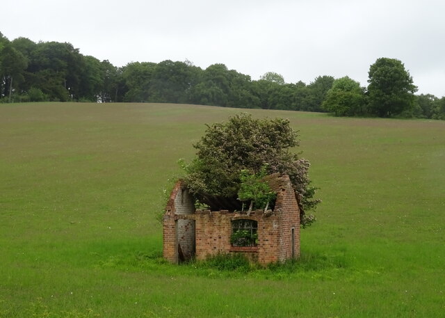
Additionally, Great Cookley Hill has historical significance, with archaeological evidence suggesting human activity in the area dating back to the prehistoric period. The hill is believed to have been used for farming and settlement in the past, leaving behind traces of ancient structures and artifacts.

Overall, Great Cookley Hill offers a unique blend of natural beauty, wildlife, and historical significance. It is a place where visitors can immerse themselves in the rich heritage and natural wonders of Oxfordshire's countryside.

If you have any feedback on the listing, please let us know in the comments section below.

Great Cookley Hill Images

Images are sourced within 2km of 51.595442/-0.97299681 or Grid Reference SU7189. Thanks to Geograph Open Source API. All images are credited.

Ploughed field near Cookley Green
Frosty House at Cookley Green A light dusting of snow this morning brought out the usual crop of wintery scenes.
This house is facing onto the village green.
Frosty House at Cookley Green
A light dusting of snow this morning brought out the usual crop of wintery scenes. This house is facing onto the village green.
Path along Pishill Bottom The road along the valley is not particularly pedestrian friendly. This path through the wood beside the road provides a safer if muddier option.
Path along Pishill Bottom
The road along the valley is not particularly pedestrian friendly. This path through the wood beside the road provides a safer if muddier option.
Sign for the church at Pishill Also the way to go if following the Oxfordshire Way.
Sign for the church at Pishill
Also the way to go if following the Oxfordshire Way.
B480 Patemore Lane Towards Watlington.
B480 Patemore Lane
Towards Watlington.
B480 Patemore Lane, Pishill Bottom Towards Watlington.
B480 Patemore Lane, Pishill Bottom
Towards Watlington.
B480 north of Pishill Extensive vineyards on the right and also out of sight to the left. They seem rather new. I hope the result is passable, otherwise the reviews could be full of puns.
B480 north of Pishill
Extensive vineyards on the right and also out of sight to the left. They seem rather new. I hope the result is passable, otherwise the reviews could be full of puns.
Wall postbox, by Pishill farmhouse, on B480 road See <a href="https://www.geograph.org.uk/photo/6502680">SU7290 : EIIR wall postbox by Pishill farmhouse</a> for detail of wall popstbox.
Wall postbox, by Pishill farmhouse, on B480 road
See SU7290 : EIIR wall postbox by Pishill farmhouse for detail of wall popstbox.
EIIR wall postbox by Pishill farmhouse It is letterbox RG917, the cipher has the crown over the II between the E and the R. See <a href="https://www.geograph.org.uk/photo/6502669">SU7290 : Wall postbox, by Pishill farmhouse, on B480 road</a> for view of it across B480 road.
EIIR wall postbox by Pishill farmhouse
It is letterbox RG917, the cipher has the crown over the II between the E and the R. See SU7290 : Wall postbox, by Pishill farmhouse, on B480 road for view of it across B480 road.
Rollers on freshly cultivated stubble field The large flinty field had stubble fragments well rolled down. A public footpath is on the right of the field.
Rollers on freshly cultivated stubble field
The large flinty field had stubble fragments well rolled down. A public footpath is on the right of the field.
The entrance to Whitelands Farm, Pishill
Vineyard, Pishill Above the chalk valley.
Vineyard, Pishill
Above the chalk valley.
B480, Pishill In the chalk valley.
B480, Pishill
In the chalk valley.
Derelict building, Pishill Bank
B480, Pishill Bank
B480, Pishill Bank
House on the B480, Pishill Bottom
B480, Pishill Bottom
Field entrance, Pishill Bottom
Show me another place!

Great Cookley Hill is located at Grid Ref: SU7189 (Lat: 51.595442, Lng: -0.97299681)

Administrative County: Oxfordshire

District: South Oxfordshire

Police Authority: Thames Valley

What 3 Words

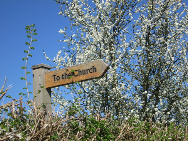
///desks.sunroof.palettes. Near Watlington, Oxfordshire

Related Wikis

Russell's Water

Russell's Water is a hamlet about 6 miles (9.7 km) north of Henley-on-Thames in South Oxfordshire. It is in the Chiltern Hills about 620 feet (190 m)...

Berrick Trench

Berrick Trench is a 2.1-hectare (5.2-acre) biological Site of Special Scientific Interest north of Nettlebed in Oxfordshire.This is an ancient semi-natural...

Pishill Woods

Pishill Woods is a 42.8-hectare (106-acre) biological Site of Special Scientific Interest north of Nettlebed in Oxfordshire.These semi-natural woods have...

Bix Bottom

Bix Bottom is a 102.3-hectare (253-acre) biological Site of Special Scientific Interest north-west of Henley-on-Thames in Oxfordshire. It is owned and...

Pishill

Pishill is a village and former civil parish, now in the parish of Pishill with Stonor, in the South Oxfordshire district, in the county of Oxfordshire...

Maidensgrove

Maidensgrove is a hamlet above the Stonor valley in the Chiltern Hills, adjacent to Russell's Water common. It is about 5 miles (8.0 km) northwest of...

Pishill with Stonor

Pishill with Stonor is a civil parish in the high Chilterns, South Oxfordshire. It includes the villages of Pishill (Ordnance Survey grid reference SU727899...

Crocker End House

Crocker End House in Nettlebed in Henley-on-Thames, Oxfordshire, England is a spacious Victorian home built to replace Nettlebed's prosperous rectory in...

Nearby Amenities

Located within 500m of 51.595442,-0.97299681
Barrier: kissing_gate
Foot: yes
Lat/Long: 51.5944973/-0.9798988
Barrier: kissing_gate
Foot: yes
Lat/Long: 51.5942299/-0.9798
Power: pole
Source: Bing
Lat/Long: 51.5927607/-0.973626
Power: pole
Source: Bing
Lat/Long: 51.5925075/-0.9743341
Power: pole
Source: Bing
Lat/Long: 51.5912694/-0.9733042
Power: pole
Source: Bing
Lat/Long: 51.5912927/-0.9737857
Power: pole
Source: Bing
Lat/Long: 51.5936172/-0.9714776
Power: pole
Source: Bing
Lat/Long: 51.5912842/-0.9730279
Power: pole
Source: Bing
Lat/Long: 51.5941204/-0.9768499
Power: pole
Source: Bing
Lat/Long: 51.5932206/-0.9720998
Power: pole
Source: Bing
Lat/Long: 51.591191/-0.9717324
Power: pole
Source: Bing
Lat/Long: 51.5956603/-0.9784391
Power: pole
Source: Bing
Lat/Long: 51.5949701/-0.977794
Power: pole
Source: Bing
Lat/Long: 51.5915059/-0.9742912
Power: pole
Source: Bing
Lat/Long: 51.5965297/-0.9792854
Power: pole
Source: Bing
Lat/Long: 51.5924091/-0.9750261
Power: pole
Source: Bing
Lat/Long: 51.5918158/-0.9761686
Power: pole
Source: Bing
Lat/Long: 51.5922275/-0.9750691
Power: pole
Source: Bing
Lat/Long: 51.5919526/-0.9758146
Barrier: kissing_gate
Foot: yes
Lat/Long: 51.5950513/-0.977505
Power: pole
Lat/Long: 51.5940553/-0.9707692
Power: pole
Lat/Long: 51.5930105/-0.9729955
Direction: 155
Generator Method: photovoltaic
Generator Output Electricity: yes
Generator Solar Modules: 16
Generator Source: solar
Generator Type: solar_photovoltaic_panel
Location: roof
Power: generator
Lat/Long: 51.5962542/-0.974818
Direction: 175
Generator Method: photovoltaic
Generator Output Electricity: yes
Generator Solar Modules: 15
Generator Source: solar
Generator Type: solar_photovoltaic_panel
Location: roof
Power: generator
Lat/Long: 51.5978754/-0.9775925
The data included in this document is from www.openstreetmap.org. The data is made available under ODbL.

Have you been to Great Cookley Hill?

Leave your review of Great Cookley Hill below (or comments, questions and feedback).