Chalk Pool Hill

Hill, Mountain in Leicestershire Melton

England

Chalk Pool Hill

Stile on footpath from Grimston Gap to Hoby Road west of Asfordby
Stile on footpath from Grimston Gap to Hoby Road west of Asfordby Credit: Roger Templeman

Chalk Pool Hill, located in Leicestershire, is a prominent hill that offers stunning views and is a popular destination for hiking and nature enthusiasts. Situated in the eastern part of the county, this hill is part of the Charnwood Forest, a designated Area of Outstanding Natural Beauty.

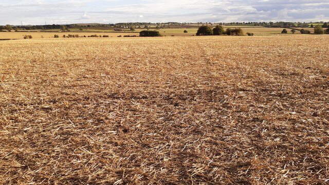
Rising to an elevation of approximately 230 meters (750 feet), Chalk Pool Hill stands as one of the highest points in Leicestershire. It is characterized by its chalky soil composition, which gives the hill its name. The hill is covered in lush green vegetation, including grasses, wildflowers, and various types of trees, providing a picturesque landscape for visitors.

Hikers and nature lovers are drawn to Chalk Pool Hill for its well-maintained trails that wind through the hill's slopes. These trails offer opportunities for leisurely walks, intense hikes, and even wildlife spotting. The hill is home to diverse flora and fauna, including birds, butterflies, and small mammals.

At the summit of Chalk Pool Hill, visitors are rewarded with breathtaking panoramic views of the surrounding countryside. On clear days, it is possible to see the distant skyline of Leicester and the neighboring counties. This picturesque vista makes Chalk Pool Hill a popular spot for photographers and picnickers alike.

Overall, Chalk Pool Hill in Leicestershire offers a tranquil escape from the hustle and bustle of urban life. Its natural beauty, hiking trails, and stunning views make it an ideal destination for outdoor enthusiasts seeking a memorable experience in the heart of the English countryside.

If you have any feedback on the listing, please let us know in the comments section below.

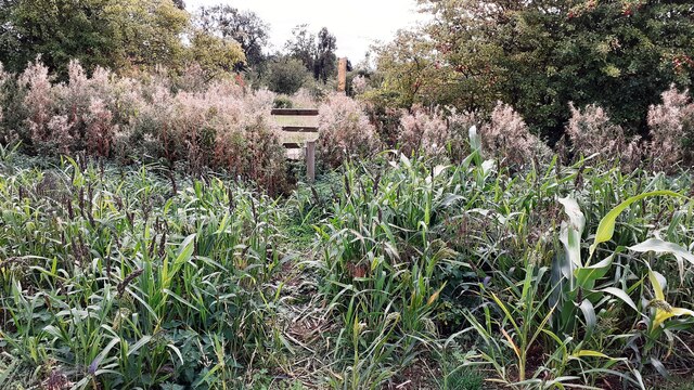
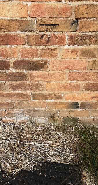
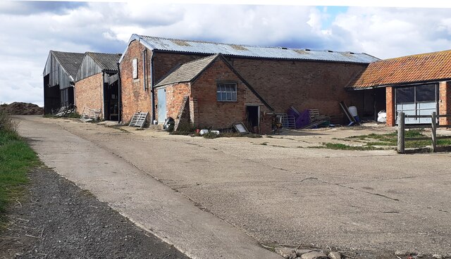
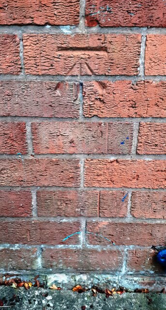
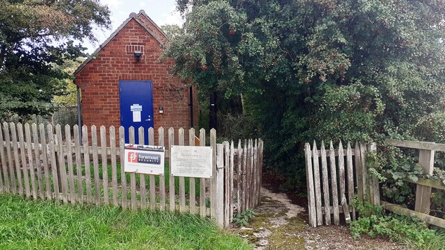
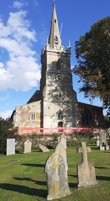
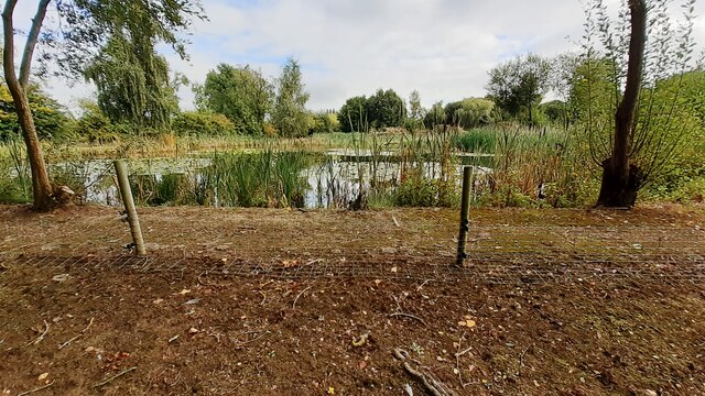
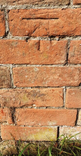
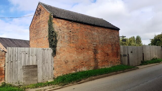
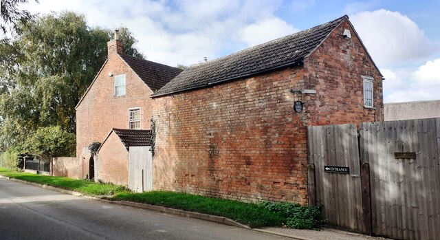
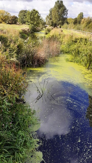
Chalk Pool Hill Images

Images are sourced within 2km of 52.747872/-0.96370175 or Grid Reference SK7017. Thanks to Geograph Open Source API. All images are credited.

Stile on footpath from Grimston Gap to Hoby Road west of Asfordby
Benchmark on building at Sandlands Farm Ordnance Survey cut mark benchmark levelled at 70.339m above Newlyn Datum verified 1962
Benchmark on building at Sandlands Farm
Ordnance Survey cut mark benchmark levelled at 70.339m above Newlyn Datum verified 1962
Buildings at Sandlands Farm There is an Ordnance Survey benchmark <a href="https://www.geograph.org.uk/photo/7300335">SK6818 : Benchmark on building at Sandlands Farm</a> on the road face of the nearest barn
Buildings at Sandlands Farm
There is an Ordnance Survey benchmark SK6818 : Benchmark on building at Sandlands Farm on the road face of the nearest barn
Benchmark on telephone exchange on south side of Hoby Lane west of Wash Stones Ordnance Survey cut mark benchmark levelled at 63.188m above the Newlyn Datum verified 1962
Benchmark on telephone exchange on south side of Hoby Lane west of Wash Stones
Ordnance Survey cut mark benchmark levelled at 63.188m above the Newlyn Datum verified 1962
Telephone Exchange on south side of Hoby Road west of Wash Stones There is an Ordnance Survey benchmark <a href="https://www.geograph.org.uk/photo/7300370">SK6817 : Benchmark on telephone exchange on south side of Hoby Lane west of Wash Stones</a> on the front of the building at its left hand corner
Telephone Exchange on south side of Hoby Road west of Wash Stones
There is an Ordnance Survey benchmark SK6817 : Benchmark on telephone exchange on south side of Hoby Lane west of Wash Stones on the front of the building at its left hand corner
St Thomas of Canterbury Church and graveyard There is an Ordnance Survey benchmark <a href="https://www.geograph.org.uk/photo/3977389">SK6917 : Benchmark on St Thomas of Canterbury Church</a> on the buttress on the right hand corner of the tower: the mark levelled at 70.409m above Newlyn Datum was verified in 1962
St Thomas of Canterbury Church and graveyard
There is an Ordnance Survey benchmark SK6917 : Benchmark on St Thomas of Canterbury Church on the buttress on the right hand corner of the tower: the mark levelled at 70.409m above Newlyn Datum was verified in 1962
Footpath heading south through ploughed field south of A607
Badger latrine beside footpath through field west of Asfordby
Pond beside footpath at Asfordby Carp Pools
Benchmark on outbuilding at Red Lodge Farm on NW side of Hoby Road Ordnance Survey cut mark benchmark levelled at 69.065m above Newlyn Datum verified 1962
Benchmark on outbuilding at Red Lodge Farm on NW side of Hoby Road
Ordnance Survey cut mark benchmark levelled at 69.065m above Newlyn Datum verified 1962
Red Lodge Farm outbuilding on NW side of Hoby Road There is an Ordnance Survey benchmark <a href="https://www.geograph.org.uk/photo/7314361">SK6918 : Benchmark on outbuilding at Red Lodge Farm on NW side of Hoby Road</a> on the near corner, road face, of the building
Red Lodge Farm outbuilding on NW side of Hoby Road
There is an Ordnance Survey benchmark SK6918 : Benchmark on outbuilding at Red Lodge Farm on NW side of Hoby Road on the near corner, road face, of the building
Red Lodge and farm outbuilding at NW side of Hoby Road
River Wreake NE of Frisby on the Wreake
Footbridge over disused canal north of Frisby on the Wreake Ordnance Survey documents indicate that a rivet benchmark levelled at 64.785m above Newlyn Datum was verified in 1962 on the near end of the right hand bridge parapet
Footbridge over disused canal north of Frisby on the Wreake
Ordnance Survey documents indicate that a rivet benchmark levelled at 64.785m above Newlyn Datum was verified in 1962 on the near end of the right hand bridge parapet
Level crossing at Frisby on the Wreake for railway towards Melton Mowbray
Looking SW along Hoby Road where it passes Frisby Lakes Lodges development Ordnance Survey records indicate that a benchmark levelled at 63.978m above Newlyn Datum was verified in 1962 on a quarry weighbridge at this location
Looking SW along Hoby Road where it passes Frisby Lakes Lodges development
Ordnance Survey records indicate that a benchmark levelled at 63.978m above Newlyn Datum was verified in 1962 on a quarry weighbridge at this location
Culvert for stream under Hoby Road SE of Sandlands Farm Ordnance Survey records indicate that a rivet benchmark levelled at 62.548m above Newlyn Datum was verified in 1962 on the top of the culvert.
Culvert for stream under Hoby Road SE of Sandlands Farm
Ordnance Survey records indicate that a rivet benchmark levelled at 62.548m above Newlyn Datum was verified in 1962 on the top of the culvert.
Rams in field at Sandlands Farm
Show me another place!

Chalk Pool Hill is located at Grid Ref: SK7017 (Lat: 52.747872, Lng: -0.96370175)

Administrative County: Leicestershire

District: Melton

Police Authority: Leicestershire

What 3 Words

///other.hopefully.operation. Near Asfordby, Leicestershire

Nearby Locations

Chalk Pool Hill

Related Wikis

Frisby and Kirby

Frisby and Kirby, formerly just Frisby is a former civil parish in the Melton district, in the county of Leicestershire, England. Its principal settlements...

Frisby on the Wreake

Frisby on the Wreake is a village and civil parish on the River Wreake about 3.5 miles (5.6 km) west of Melton Mowbray, Leicestershire, England. The 2011...

Frisby railway station

Frisby railway station was a former station serving the village of Frisby on the Wreake in Leicestershire. The station was situated at a level crossing...

Asfordby

Asfordby is a village and civil parish in the Melton district of Leicestershire, to the west of Melton Mowbray on the A6006 road. The village is north...

Frisby Marsh

Frisby Marsh is a 10.2-hectare (25-acre) biological Site of Special Scientific Interest east of Frisby on the Wreake in Leicestershire.This site has spring...

Asfordby F.C.

Asfordby Football Club is a football club based in Asfordby, England. They are currently members of the United Counties League Division One and play at...

Asfordby railway station

Asfordby railway station was a station serving the villages of Asfordby and Kirby Bellars in Leicestershire. The station was situated at a level crossing...

Kirby Bellars

Kirby Bellars is a village and civil parish near Melton Mowbray in Leicestershire, England. The population of the civil parish at the 2011 census was 369...

Nearby Amenities

Located within 500m of 52.747872,-0.96370175
Bus Stop
Leicester Road
Bus: yes
Naptan AtcoCode: 260001004
Naptan Bearing: NE
Naptan CommonName: Leicester Road
Naptan Indicator: east
Naptan Landmark: Great Lane Junc
Naptan NaptanCode: leidpagt
Naptan Notes: Hourly - County
Naptan Street: Leicester Road A607
Naptan Verified: no
Public Transport: platform
Source: naptan_import
Lat/Long: 52.7477071/-0.9645781
Bus Stop
Leicester Road
Bus: yes
Naptan AtcoCode: 260001008
Naptan Bearing: W
Naptan CommonName: Leicester Road
Naptan Indicator: west
Naptan Landmark: Gaddesby Lane
Naptan NaptanCode: leidpajg
Naptan Notes: Hourly - County
Naptan Street: Leicester Road (A607)
Naptan Verified: no
Public Transport: platform
Source: naptan_import
Lat/Long: 52.7476584/-0.9641496
Power: tower
Lat/Long: 52.7492023/-0.9582803
The data included in this document is from www.openstreetmap.org. The data is made available under ODbL.

Have you been to Chalk Pool Hill?

Leave your review of Chalk Pool Hill below (or comments, questions and feedback).