Kington

Settlement in Worcestershire Wychavon

England

Kington

Farmland beside Grafton Wood On the far side of this field the Wychavon Way passes beside the Grafton Wood.
Farmland beside Grafton Wood Credit: Philip Halling

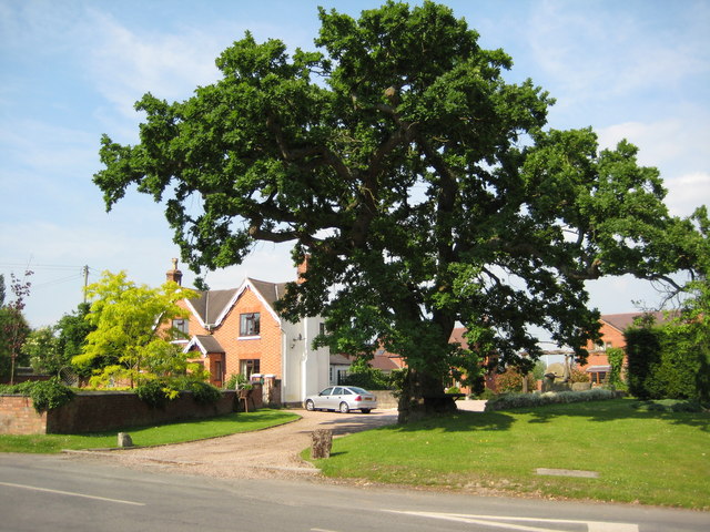
Kington is a small village located in the county of Worcestershire, England. Situated approximately 5 miles southwest of the town of Pershore, Kington is nestled in the picturesque countryside of the West Midlands region. With a population of around 400 residents, the village offers a tranquil and close-knit community atmosphere.

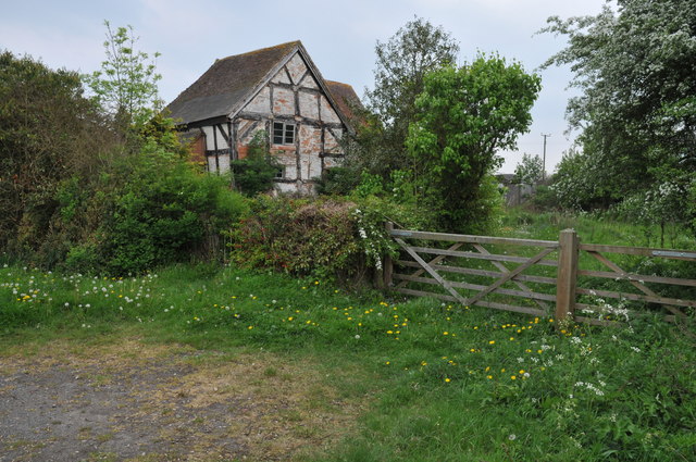
The village of Kington boasts a rich history dating back centuries. It is believed to have been established during the Saxon era, and evidence of its past can be seen in the architecture of its buildings, including the beautiful St. James' Church, which dates back to the 13th century. The village is steeped in agricultural heritage, with farming playing a significant role in its economy over the years.

Kington offers a range of amenities to its residents and visitors. The village is home to a primary school, providing education for local children. There is also a village hall that serves as a hub for community events and gatherings. Additionally, Kington is surrounded by picturesque countryside, making it an ideal location for outdoor activities such as walking, cycling, and horse riding.

Despite its small size, Kington benefits from its proximity to larger towns and cities. The nearby town of Pershore offers a wider range of amenities, including shops, restaurants, and leisure facilities. The village is also well-connected, with good transport links to nearby Worcester and Evesham, allowing for easy access to further amenities and employment opportunities.

Overall, Kington is a charming village in Worcestershire, offering a peaceful rural lifestyle, a rich history, and a strong sense of community.

If you have any feedback on the listing, please let us know in the comments section below.
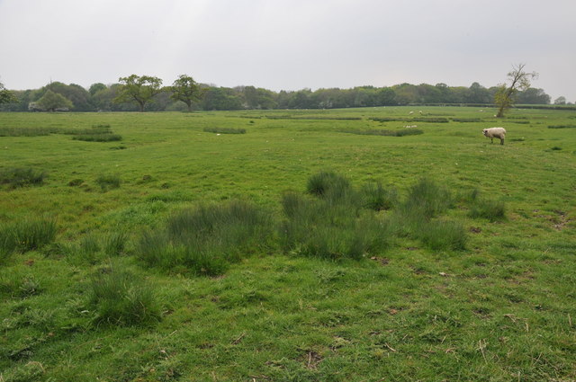
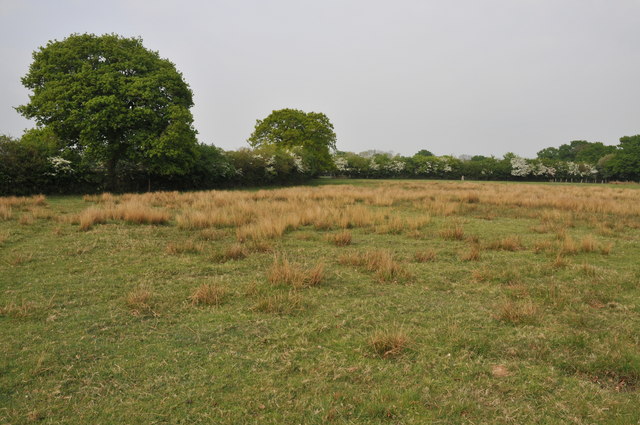
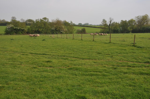
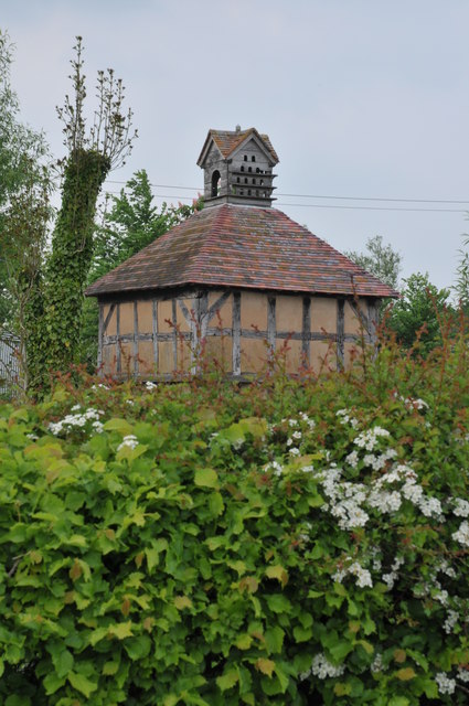
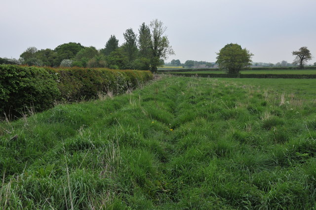
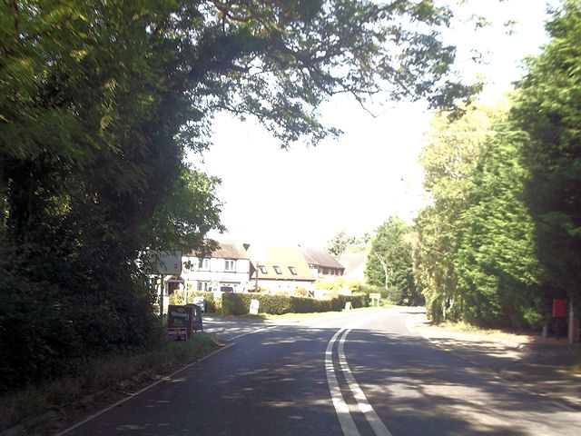
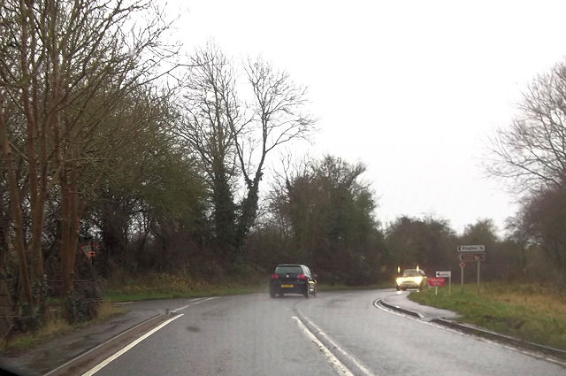
Kington Images

Images are sourced within 2km of 52.202594/-2.0289413 or Grid Reference SO9856. Thanks to Geograph Open Source API. All images are credited.

Farmland beside Grafton Wood On the far side of this field the Wychavon Way passes beside the Grafton Wood.
Farmland beside Grafton Wood
On the far side of this field the Wychavon Way passes beside the Grafton Wood.
Farmland near Stock Green At present this field is dry however the reeds suggest this field normally lies wet.
Farmland near Stock Green
At present this field is dry however the reeds suggest this field normally lies wet.
Bridleway to Upper Kite's Wood This bridleway passes Upper Kite's Wood and joins the Wychavon Way.
Bridleway to Upper Kite's Wood
This bridleway passes Upper Kite's Wood and joins the Wychavon Way.
Sheep near Cockshot Farm Sheep near Cockshot Farm near Kington.
Sheep near Cockshot Farm
Sheep near Cockshot Farm near Kington.
Old cottage at Dormston An old cottage in a sorry state beside the road to Dormston
Old cottage at Dormston
An old cottage in a sorry state beside the road to Dormston
Dovecot at Dormston Dovecot viewed from the road in Dormston.
Dovecot at Dormston
Dovecot viewed from the road in Dormston.
Bridleway at Dormston Bridleway from Dormston to Stock Green.
Bridleway at Dormston
Bridleway from Dormston to Stock Green.
Climb out of the road,  Flyford Flavell
Climb out of the road, Flyford Flavell
The Flyford Arms through the trees Taken from the footpath towards the village.
The Flyford Arms through the trees
Taken from the footpath towards the village.
Paths cross at the corner Taken at the crossing paths near Flyford Flavell. Lots of hedgerow trees have good colonies of mistletoe.
Paths cross at the corner
Taken at the crossing paths near Flyford Flavell. Lots of hedgerow trees have good colonies of mistletoe.
Follow the hedge, grassland near Flyford Flavell
Wychavon Way through the farm,  Flyford Flavell
Wychavon Way through the farm, Flyford Flavell
North Piddle junction from A422
Junction for Flyford Flavell
Kington turning from A422 at Flyford Flavell
Cockshot Lane junction with A422
A422 approaching Dormston turning
Kington turning off A422
Show me another place!

Kington is located at Grid Ref: SO9856 (Lat: 52.202594, Lng: -2.0289413)

Administrative County: Worcestershire

District: Wychavon

Police Authority: West Mercia

What 3 Words

///moods.threaded.extra. Near Kington, Worcestershire

Related Wikis

Grafton Wood

Grafton Wood is a nature reserve near the village of Grafton Flyford, about 6 miles (9.7 km) east of Worcester, in Worcestershire, England. == Description... ==

Kington, Worcestershire

Kington is a village in Worcestershire, England, situated near to Flyford Flavell. == History == The earliest known recording of Kington in the Domesday...

Flyford Flavell

Flyford Flavell is a village in Worcestershire , it has a traditional pub in the centre of the village adjacent to the village green and a first school...

North Piddle

North Piddle is a small civil parish in the Wychavon district of Worcestershire, England. It is located within a loop of Piddle Brook. North Piddle is...

Dormston

Dormston is a village and civil parish in Worcestershire about 3 miles (4.8 km) south of Redditch. == Name == Dormston's toponym has evolved from Deormodesealdtune...

Grafton Flyford

Grafton Flyford is a village about 6 miles (9.7 km) east of Worcester, in Worcestershire, England. It neighbours Stock Green, with the large farm house...

Abberton, Worcestershire

Abberton is a small village in Worcestershire, England. In 1991, the population was 44, this grew to 67 in 24 households in 2001.The principal house in...

Radford, Worcestershire

Radford is a hamlet in the Wychavon district of Worcestershire, England. It is 1 mile SSW of Inkberrow. In 2013, Landscan population maps show there to...

Nearby Amenities

Located within 500m of 52.202594,-2.0289413
Bus Stop
Cockshot Lane
Bus: yes
Naptan AtcoCode: 2000G030100
Naptan Bearing: SW
Naptan CommonName: Cockshot Lane
Naptan Crossing: Cockshot Lane
Naptan Indicator: Opp
Naptan Landmark: near Red Hart Public House
Naptan NaptanCode: wocdpwgw
Naptan Street: A422
Naptan Verified: no
Public Transport: platform
Shelter: yes
Source: naptan_import
Lat/Long: 52.2019765/-2.0285625
Bus Stop
Red Hart
Bus: yes
Naptan AtcoCode: 2000G323356
Naptan Bearing: NE
Naptan BusStopType: CUS
Naptan CommonName: Red Hart
Naptan Crossing: A422
Naptan Indicator: Adj
Naptan Landmark: Red Hart Public House
Naptan NaptanCode: wocgmgat
Naptan Street: Cockshot Lane
Naptan Verified: no
Public Transport: platform
Source: naptan_import
Lat/Long: 52.2024078/-2.0284559
Bus Stop
Red Hart
Bus: yes
Naptan AtcoCode: 2000G323424
Naptan Bearing: N
Naptan BusStopType: CUS
Naptan CommonName: Red Hart
Naptan Crossing: A422
Naptan Indicator: Opp
Naptan Landmark: Red Hart Public House
Naptan NaptanCode: wocgjgwj
Naptan Street: Cockshot Lane
Naptan Verified: no
Public Transport: platform
Source: naptan_import
Lat/Long: 52.2024619/-2.0290018
Power: pole
Lat/Long: 52.2017356/-2.0284847
Power: pole
Lat/Long: 52.1998781/-2.0285351
Kington Mill
Power: pole
Transformer: distribution
Voltage Primary: 11000
Lat/Long: 52.2008687/-2.0264322
Flyford Flavell Sewage Works
Power: pole
Transformer: distribution
Voltage Primary: 11000
Lat/Long: 52.1982939/-2.0292278
Power: pole
Lat/Long: 52.2007871/-2.0234689
Power: pole
Lat/Long: 52.200907/-2.024974
Kington Village SPS
Power: pole
Transformer: distribution
Voltage Primary: 11000
Lat/Long: 52.2005993/-2.0223737
Power: pole
Lat/Long: 52.2005606/-2.0274477
Power: pole
Lat/Long: 52.2006356/-2.0281523
Power: pole
Lat/Long: 52.2008926/-2.0256772
Power: pole
Lat/Long: 52.2009203/-2.0243018
Power: pole
Lat/Long: 52.2002861/-2.0283141
Red Hart Kington
Power: pole
Transformer: distribution
Voltage Primary: 11000
Lat/Long: 52.2020152/-2.0290541
Power: pole
Lat/Long: 52.1991079/-2.0288903
Dormston Coalyard
Location Transition: yes
Power: pole
Transformer: distribution
Voltage Primary: 11000
Lat/Long: 52.2041689/-2.0298377
Post Box
Collection Times: Mo-Fr 17:00; Sa 08:00
Post Box Type: lamp
Ref: WR7 409
Royal Cypher: EIIR
Royal Cypher Wikidata: Q33102113
Lat/Long: 52.2018997/-2.0286659
Barrier: kissing_gate
Foot: yes
Lat/Long: 52.2035182/-2.0313344
Park Farm Kington
Power: pole
Transformer: distribution
Voltage Primary: 11000
Lat/Long: 52.2051221/-2.0296701
Location Transition: yes
Power: pole
Lat/Long: 52.2055434/-2.029591
Barrier: kissing_gate
Foot: yes
Lat/Long: 52.2032177/-2.0306502
Power: pole
Lat/Long: 52.202561/-2.030178
Power: pole
Lat/Long: 52.2022835/-2.0296127
Location Transition: yes
Power: pole
Lat/Long: 52.2063627/-2.0294221
Power: pole
Lat/Long: 52.2033664/-2.0300123
Barrier: kissing_gate
Foot: yes
Lat/Long: 52.2040549/-2.0290316
Turning Circle
Lat/Long: 52.2029571/-2.0282248
Turning Circle
Lat/Long: 52.2044758/-2.0305266
Location Transition: yes
Power: pole
Lat/Long: 52.2046813/-2.0297375
Power: pole
Lat/Long: 52.2006847/-2.022922
Coneybury Farm
Power: pole
Transformer: distribution
Voltage Primary: 11000
Lat/Long: 52.2024321/-2.0262158
Power: pole
Lat/Long: 52.203201/-2.0221563
Power: pole
Lat/Long: 52.2028229/-2.0228818
Power: pole
Lat/Long: 52.2024354/-2.0236757
Power: pole
Lat/Long: 52.2022809/-2.0244321
Power: pole
Lat/Long: 52.2021264/-2.0251523
Power: pole
Lat/Long: 52.2019546/-2.0260522
Power: pole
Lat/Long: 52.2012802/-2.0258094
Booth: K6
Colour: blue
Covered: booth
Man Made: telephone_box
Lat/Long: 52.2019815/-2.0288418
The data included in this document is from www.openstreetmap.org. The data is made available under ODbL.

Have you been to Kington?

Leave your review of Kington below (or comments, questions and feedback).