Cobditch Hill
Hill, Mountain in Oxfordshire South Oxfordshire
England
Cobditch Hill
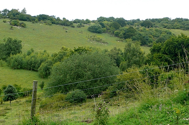
Cobditch Hill is a prominent hill located in the county of Oxfordshire, England. It is part of the Chiltern Hills, a range of chalk hills stretching across several counties in southern England. Cobditch Hill stands at an elevation of approximately 200 meters (660 feet) above sea level.
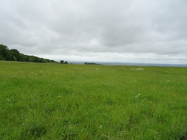
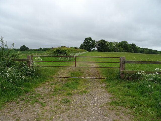
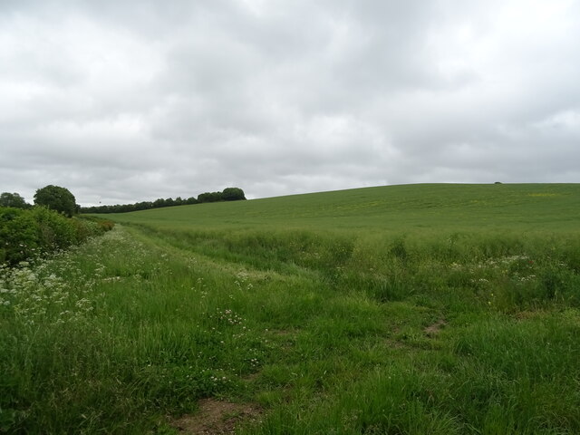
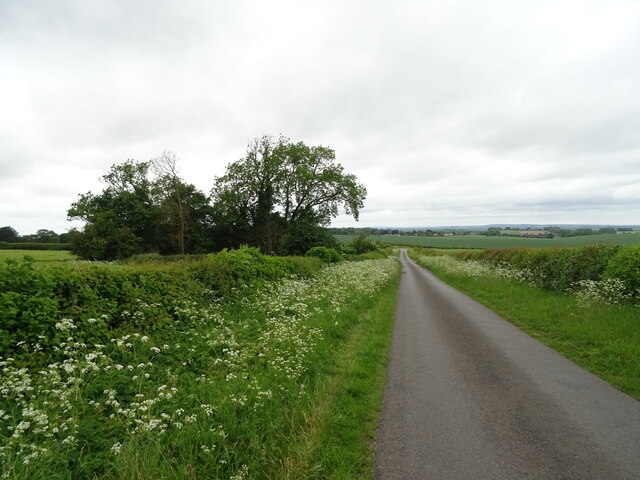
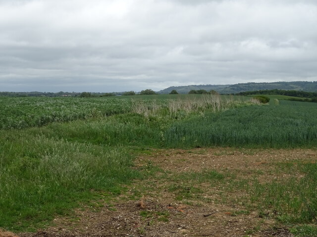
The hill is characterized by its gentle slopes and is covered in lush grassland, creating a picturesque and idyllic landscape. It offers stunning panoramic views of the surrounding countryside, including the nearby villages of Chinnor and Sydenham.
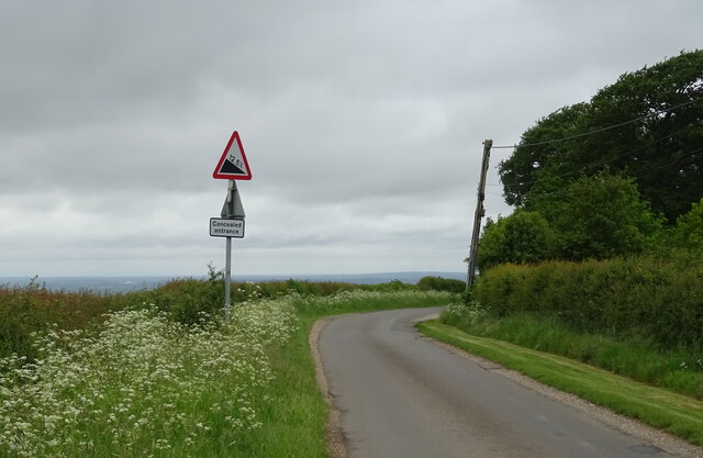
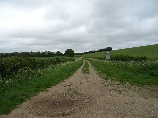
Cobditch Hill is a popular destination for outdoor enthusiasts, particularly walkers and hikers, who are attracted by its scenic beauty and tranquil atmosphere. There are several well-maintained footpaths that lead to the summit, allowing visitors to explore the hill and enjoy its natural surroundings.
The hill has a rich history, with evidence of human habitation dating back thousands of years. Archaeological discoveries on Cobditch Hill include Iron Age hillforts and burial mounds, providing insight into the area's ancient past.
Today, Cobditch Hill remains an important conservation area, supporting a diverse range of flora and fauna. Wildflowers such as orchids and cowslips can be found dotting the hillside, while various bird species, including skylarks and kestrels, can be spotted overhead.
In conclusion, Cobditch Hill is a beautiful and historically significant hill in Oxfordshire, offering visitors the chance to immerse themselves in nature and explore the region's rich heritage.
If you have any feedback on the listing, please let us know in the comments section below.
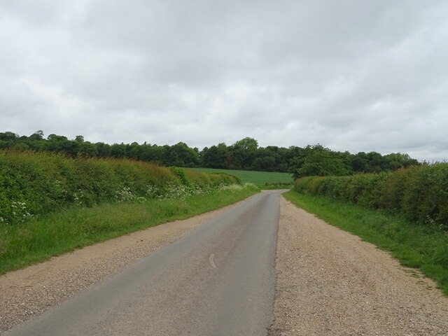
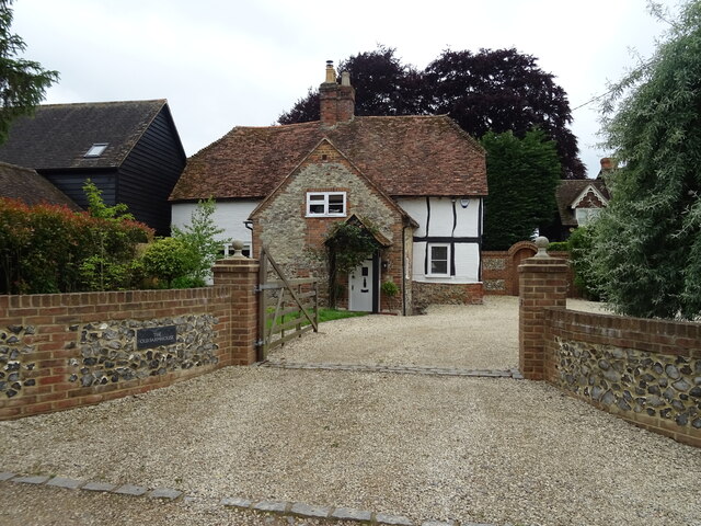
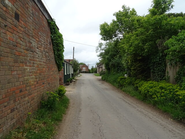
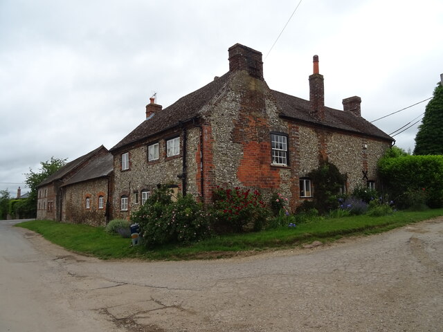
Cobditch Hill Images
Images are sourced within 2km of 51.634678/-1.012439 or Grid Reference SU6893. Thanks to Geograph Open Source API. All images are credited.


Cobditch Hill is located at Grid Ref: SU6893 (Lat: 51.634678, Lng: -1.012439)
Administrative County: Oxfordshire
District: South Oxfordshire
Police Authority: Thames Valley
What 3 Words
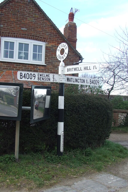
///ladders.responses.hound. Near Watlington, Oxfordshire
Nearby Locations
Related Wikis
Watlington, Oxfordshire
Watlington is a small market town and civil parish about 7 miles (11 km) south of Thame in Oxfordshire, near the county's eastern edge and less than 2...
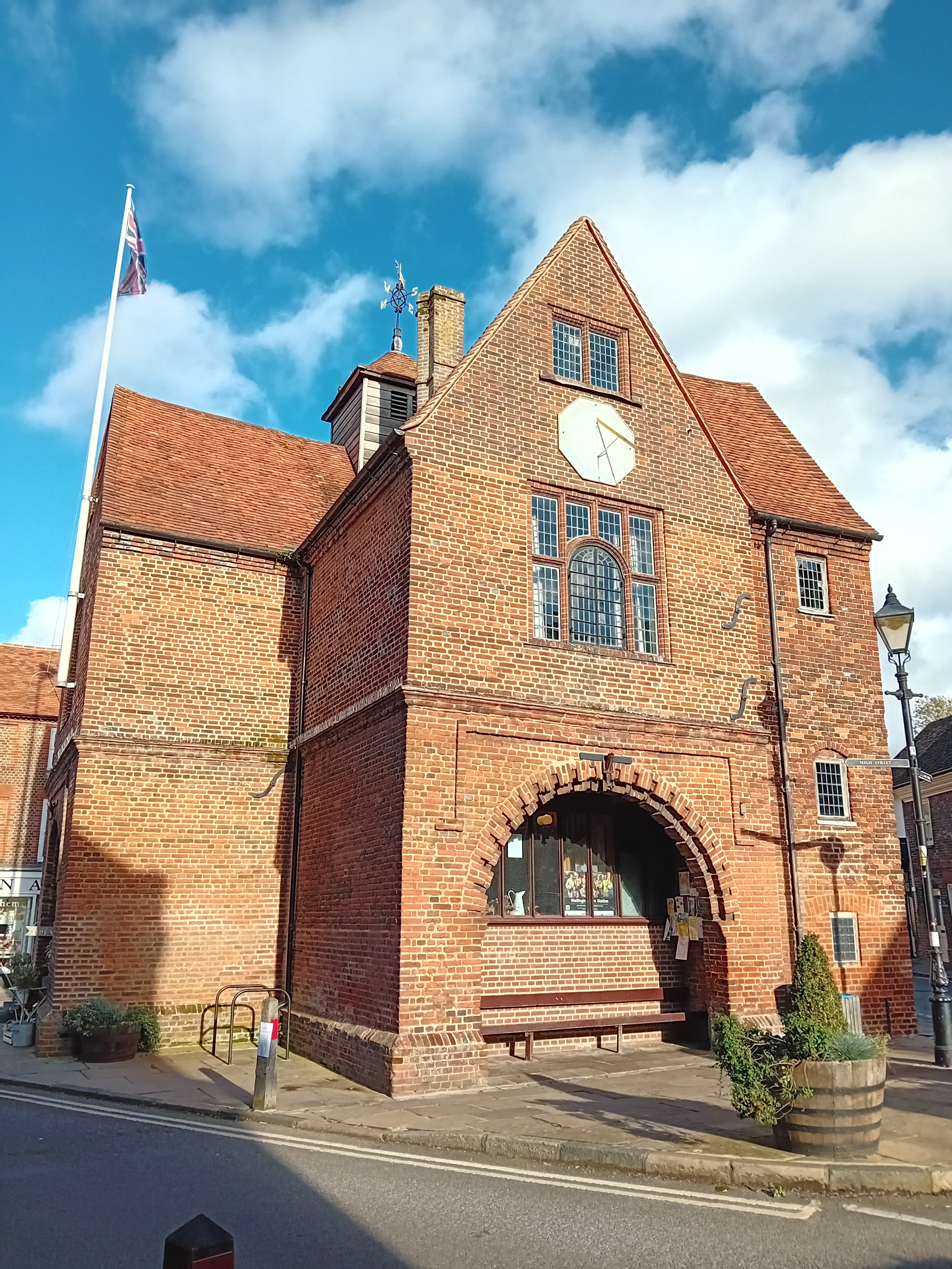
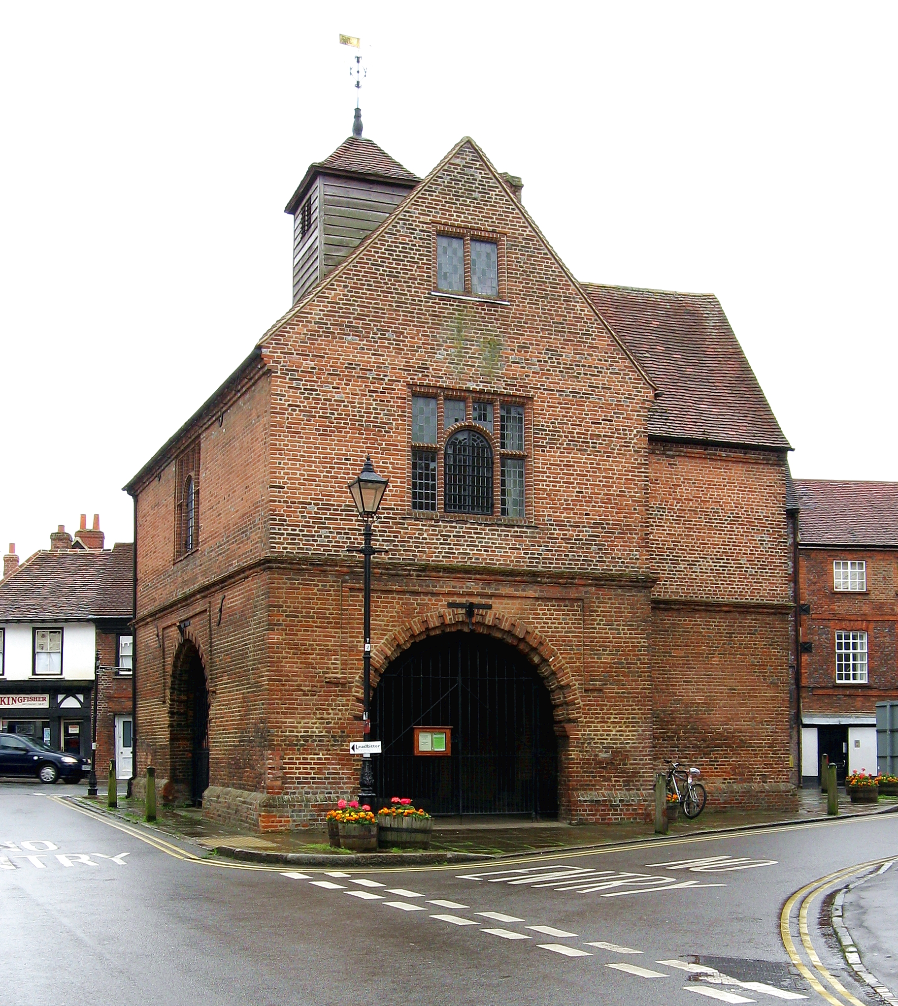
Watlington Town Hall
Watlington Town Hall is a municipal building in the High Street in Watlington, Oxfordshire, England. The building, which is used as a community events...

Orange Bakery
Orange Bakery is an artisanal bakery and baked goods shop located in Watlington, Oxfordshire, UK. It was started in 2019 by Kitty Tait with the help of...

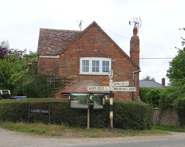
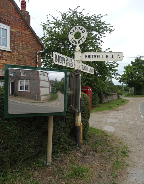
Britwell Salome
Britwell Salome is a village and civil parish in South Oxfordshire, England centred 4+1⁄2 miles (7 km) northeast of Wallingford. The 2011 Census recorded...

Icknield Community College
Icknield Community College is a coeducational secondary school located in Watlington, Oxfordshire, England. It offers tuition for years 7-11 (ages 11...

Watlington Chalk Pit
Watlington Chalk Pit is a 1.6-hectare (4.0-acre) Local Nature Reserve east of Watlington in Oxfordshire. It is owned by South Oxfordshire District Council...
Watlington and Pyrton Hills
Watlington and Pyrton Hills is a 112.7-hectare (278-acre) biological Site of Special Scientific Interest east of Watlington in Oxfordshire. An area of...
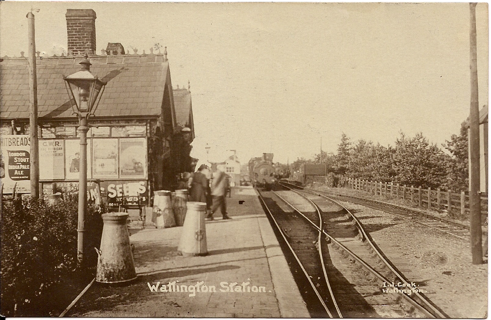
Watlington railway station (Oxfordshire)
Watlington railway station in Oxfordshire was the terminus of the Watlington and Princes Risborough Railway and opened in 1872. Watlington station was...
Nearby Amenities
Located within 500m of 51.634678,-1.012439Have you been to Cobditch Hill?
Leave your review of Cobditch Hill below (or comments, questions and feedback).