Gilton Hill
Hill, Mountain in Oxfordshire South Oxfordshire
England
Gilton Hill
Gilton Hill is a prominent geological feature located in Oxfordshire, England. Situated in the southern part of the county, Gilton Hill is part of the Chiltern Hills, a range of chalk hills that stretch across several counties in southern England. Rising to an elevation of approximately 240 meters (787 feet), Gilton Hill offers sweeping views of the surrounding countryside.
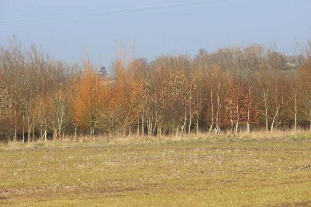
The hill is characterized by its steep slopes and dense woodland, providing a habitat for a variety of flora and fauna. It is particularly known for its beech trees, which form a picturesque canopy during the summer months. The area is also home to a diverse range of bird species, making it a popular destination for birdwatchers.
Gilton Hill has a rich historical and archaeological significance. It is believed that the hill has been inhabited since prehistoric times, with evidence of ancient settlements and burial mounds found in the surrounding area. The hill is also associated with the Iron Age, as remnants of hillforts have been discovered on its slopes.
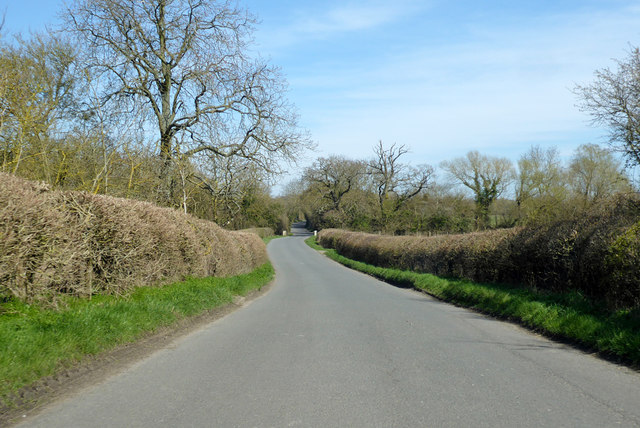
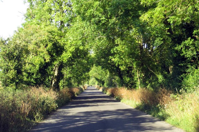
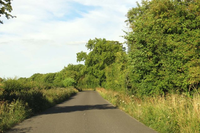
In addition to its natural and historical attractions, Gilton Hill offers numerous recreational opportunities for visitors. The hill is crisscrossed by a network of footpaths and trails, making it a popular destination for hikers and walkers. Its elevated position also makes it an ideal spot for paragliding and other outdoor activities.
Overall, Gilton Hill in Oxfordshire is a captivating destination that combines natural beauty, historical significance, and outdoor adventure, making it a must-visit location for nature enthusiasts and history buffs alike.
If you have any feedback on the listing, please let us know in the comments section below.
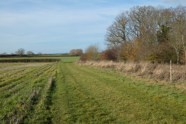
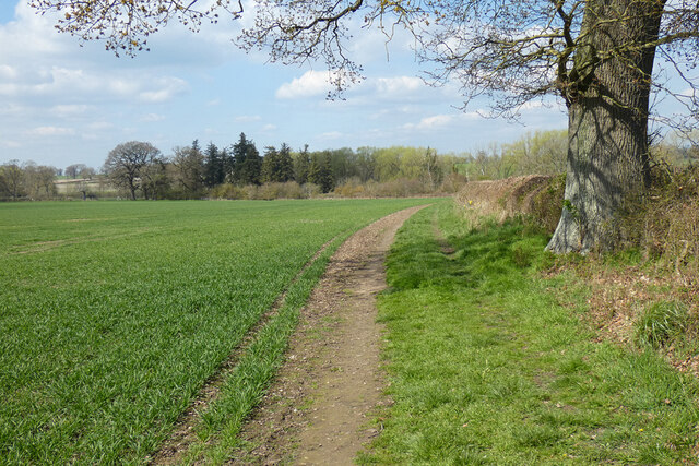
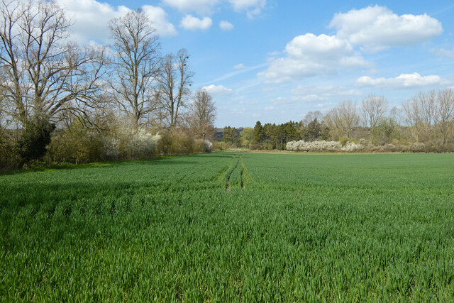
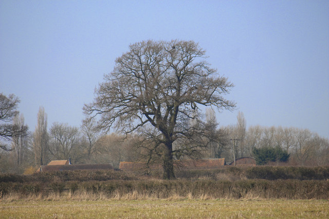
Gilton Hill Images
Images are sourced within 2km of 51.684108/-1.0117692 or Grid Reference SU6898. Thanks to Geograph Open Source API. All images are credited.


Gilton Hill is located at Grid Ref: SU6898 (Lat: 51.684108, Lng: -1.0117692)
Administrative County: Oxfordshire
District: South Oxfordshire
Police Authority: Thames Valley
What 3 Words
///hilltop.winemaker.national. Near Watlington, Oxfordshire
Nearby Locations
Related Wikis

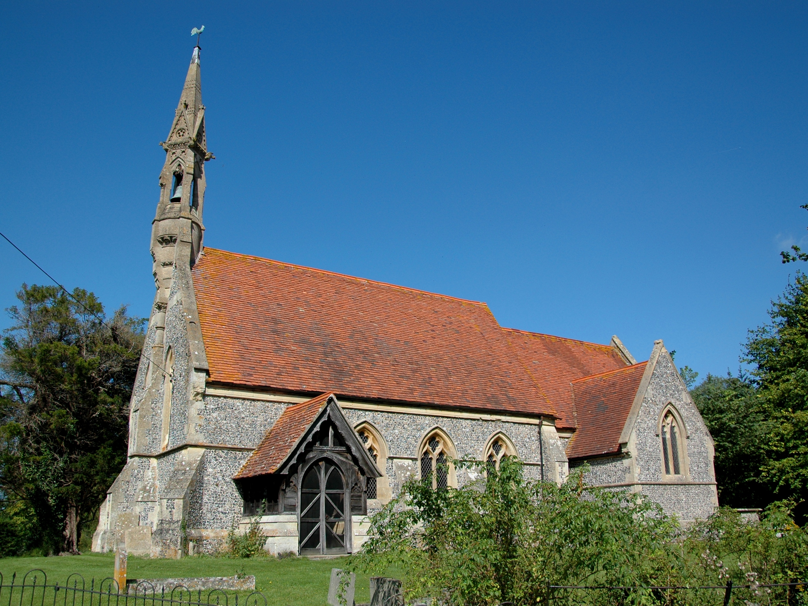
Stoke Talmage
Stoke Talmage is a village and civil parish 4+1⁄2 miles (7 km) south of Thame in Oxfordshire. The 2001 Census recorded the parish population as 49. Because...

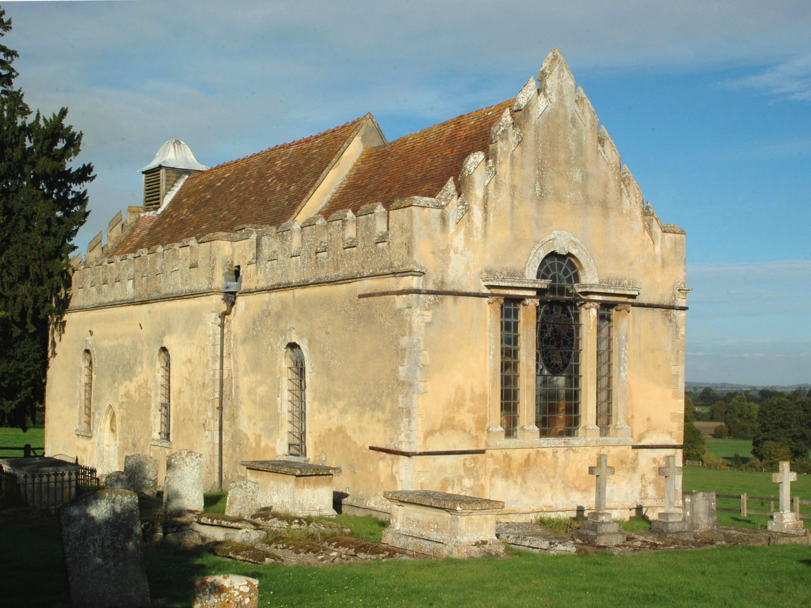
Adwell House
Adwell House, Adwell, Oxfordshire, is a Grade II* listed building and the family seat of the Birch Reynardson family. == References == == External links... ==
Adwell
Adwell is a village and civil parish about 3 miles (5 km) south of Thame in South Oxfordshire. The parish covers 443 acres (179 ha), == Demography == The...
Wheatfield, Oxfordshire
Wheatfield is a civil parish and deserted medieval village about 4 miles (6.4 km) south of Thame in Oxfordshire. Wheatfield's toponym is derived from...
Nearby Amenities
Located within 500m of 51.684108,-1.0117692Have you been to Gilton Hill?
Leave your review of Gilton Hill below (or comments, questions and feedback).