Hodd's Hill

Hill, Mountain in Hampshire Basingstoke and Deane

England

Hodd's Hill

Always popular - Bartons Mill
Always popular - Bartons Mill Credit: Mr Ignavy

Hodd's Hill is a prominent hill located in the county of Hampshire, England. Situated near the village of Hoddington, it is part of the picturesque North Hampshire Downs, a range of chalk hills that stretch across the southern England countryside.

Rising to an elevation of approximately 200 meters (656 feet), Hodd's Hill offers stunning panoramic views of the surrounding landscape. From its summit, one can admire the rolling hills, expansive farmland, and charming villages that are characteristic of the Hampshire countryside. On clear days, the hill provides a breathtaking vista that extends for miles, allowing visitors to appreciate the natural beauty of the area.

The hill is primarily composed of chalk, a type of soft, white limestone that is commonly found in this region. This geological composition gives Hodd's Hill its distinctive appearance and contributes to its ecological significance. The chalk grassland that covers the slopes of the hill supports a diverse range of flora and fauna, including rare wildflowers, butterflies, and birds.

Hodd's Hill is a popular destination for outdoor enthusiasts and nature lovers. It offers various walking and hiking trails that provide opportunities to explore the surrounding countryside and immerse oneself in the tranquility of the area. The hill is also a favorite spot for picnicking, photography, and simply enjoying the peaceful atmosphere.

Overall, Hodd's Hill is a picturesque and ecologically significant natural landmark in Hampshire, offering visitors a chance to connect with nature and enjoy breathtaking views of the surrounding countryside.

If you have any feedback on the listing, please let us know in the comments section below.
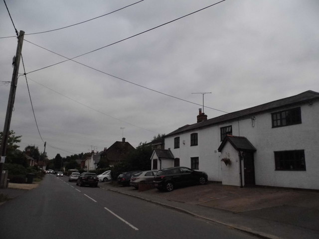
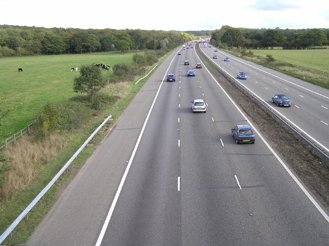
Hodd's Hill Images

Images are sourced within 2km of 51.272952/-1.0294008 or Grid Reference SU6753. Thanks to Geograph Open Source API. All images are credited.

Always popular - Bartons Mill
Centre of Old Basing I wonder how the railway was received when it was first built through the old village.
Centre of Old Basing
I wonder how the railway was received when it was first built through the old village.
An old house in Old Basing
Footbridge over the M3 The M3 motorway runs for 59 miles from Sunbury-on-Thames to Southampton. Construction started 1968 and was finally completed in 1995. The Winchester bypass through Twyford Downs was the most controversial section to be built.
Wikipedia: <span class="nowrap"><a title="http://en.wikipedia.org/wiki/M3_motorway_(Great_Britain)" rel="nofollow ugc noopener" href="http://en.wikipedia.org/wiki/M3_motorway_(Great_Britain)">Link</a><img style="margin-left:2px;" alt="External link" title="External link - shift click to open in new window" src="https://s1.geograph.org.uk/img/external.png" width="10" height="10"/></span>
Footbridge over the M3
The M3 motorway runs for 59 miles from Sunbury-on-Thames to Southampton. Construction started 1968 and was finally completed in 1995. The Winchester bypass through Twyford Downs was the most controversial section to be built. Wikipedia: LinkExternal link
M3, eastbound The M3 motorway runs for 59 miles from Sunbury-on-Thames to Southampton. Construction started 1968 and was finally completed in 1995. The Winchester bypass through Twyford Downs was the most controversial section to be built.
Wikipedia: <span class="nowrap"><a title="http://en.wikipedia.org/wiki/M3_motorway_(Great_Britain)" rel="nofollow ugc noopener" href="http://en.wikipedia.org/wiki/M3_motorway_(Great_Britain)">Link</a><img style="margin-left:2px;" alt="External link" title="External link - shift click to open in new window" src="https://s1.geograph.org.uk/img/external.png" width="10" height="10"/></span>
M3, eastbound
The M3 motorway runs for 59 miles from Sunbury-on-Thames to Southampton. Construction started 1968 and was finally completed in 1995. The Winchester bypass through Twyford Downs was the most controversial section to be built. Wikipedia: LinkExternal link
Ford at Mapledurwell This is the first of three fords along the byway at Mapledurwell.
Ford at Mapledurwell
This is the first of three fords along the byway at Mapledurwell.
Ford on the Lyde River This is the third of the three Mapledurwell fords on the byway leading down to London Road.
Ford on the Lyde River
This is the third of the three Mapledurwell fords on the byway leading down to London Road.
Ford at Mapledurwell This is the second of the three Mapledurwell fords.
Ford at Mapledurwell
This is the second of the three Mapledurwell fords.
Water End Ford This byway ford is found just off the A30 at Water End.
Water End Ford
This byway ford is found just off the A30 at Water End.
Pyotts Hill, Old Basing This is one of the original villages surrounding Basingstoke before it became built up.
Pyotts Hill, Old Basing
This is one of the original villages surrounding Basingstoke before it became built up.
The track to Blacklands Farm
Newnham Lane near Old Basing
Poors Farm Road at the junction of Newnham Lane This is an archetypal green triangle rural junction
Poors Farm Road at the junction of Newnham Lane
This is an archetypal green triangle rural junction
Pyotts Hill, Chineham
Communications tower on Water End Lane
Show me another place!

Hodd's Hill is located at Grid Ref: SU6753 (Lat: 51.272952, Lng: -1.0294008)

Administrative County: Hampshire

District: Basingstoke and Deane

Police Authority: Hampshire

What 3 Words

///robot.margin.hint. Near Old Basing, Hampshire

Related Wikis

Andwell

Andwell is a village and former civil parish, now in the parish of Mapledurwell and Up Nately, in the Basingstoke and Deane district of Hampshire, England...

Old Basing

Old Basing is a village in Hampshire, England, just east of Basingstoke. It was called Basengum in the Anglo-Saxon Chronicle and Basinges in the Domesday...

Battle of Basing

The Battle of Basing was a victory of a Viking army over the West Saxons at the royal estate of Basing in Hampshire on about 22 January 871. In late December...

The Mill Field, Hampshire

The Mill Field is a 11.7-hectare (29-acre) Local Nature Reserve in Basingstoke in Hampshire. It is owned by Basingstoke and Deane Borough Council and...

Nearby Amenities

Located within 500m of 51.272952,-1.0294008
The data included in this document is from www.openstreetmap.org. The data is made available under ODbL.

Have you been to Hodd's Hill?

Leave your review of Hodd's Hill below (or comments, questions and feedback).