Browns Hill
Hill, Mountain in Oxfordshire South Oxfordshire
England
Browns Hill

Browns Hill is a prominent hill located in the county of Oxfordshire, England. It is situated in the southern part of the county, approximately 6 miles east of the city of Oxford. With an elevation of 194 meters (636 feet), Browns Hill is considered one of the highest points in the area and offers stunning panoramic views of the surrounding countryside.
The hill is characterized by its gently sloping sides, covered in lush green grass and scattered with patches of woodland. It forms part of the larger Oxfordshire Cotswolds, a designated Area of Outstanding Natural Beauty, renowned for its rolling hills and picturesque landscapes.
Browns Hill is a popular destination for outdoor enthusiasts and nature lovers. Many visitors enjoy hiking to the summit, taking in the breathtaking vistas along the way. The hill offers several footpaths and trails, catering to hikers of all levels of experience. The area is also frequented by birdwatchers, as it provides an excellent vantage point to observe a variety of bird species.
In addition to its natural beauty, Browns Hill has historical significance as well. It is believed to have been a site of ancient human activity, with archaeological remains dating back thousands of years. The hill is also home to a small Iron Age hillfort, known as "Browns Hill Fort," which further adds to its historical appeal.
Overall, Browns Hill is an idyllic spot in Oxfordshire, offering both natural beauty and historical interest. Whether it's for a leisurely stroll or a more challenging hike, visitors are sure to be captivated by the charm and serenity of this picturesque hill.
If you have any feedback on the listing, please let us know in the comments section below.
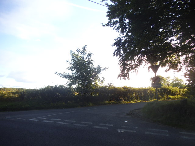
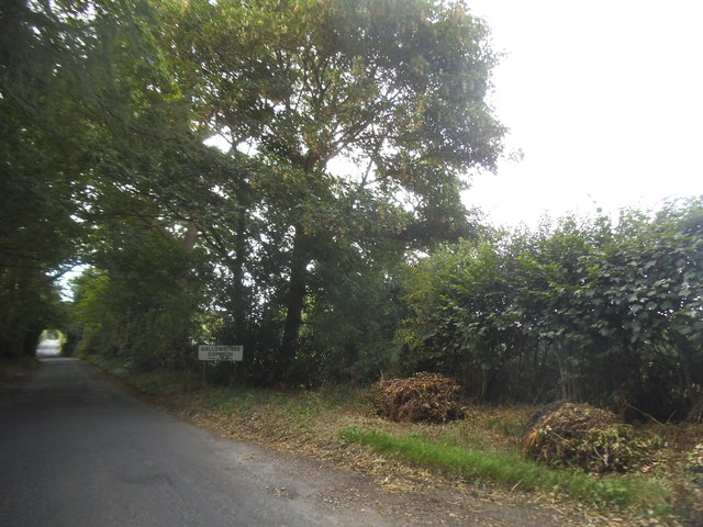
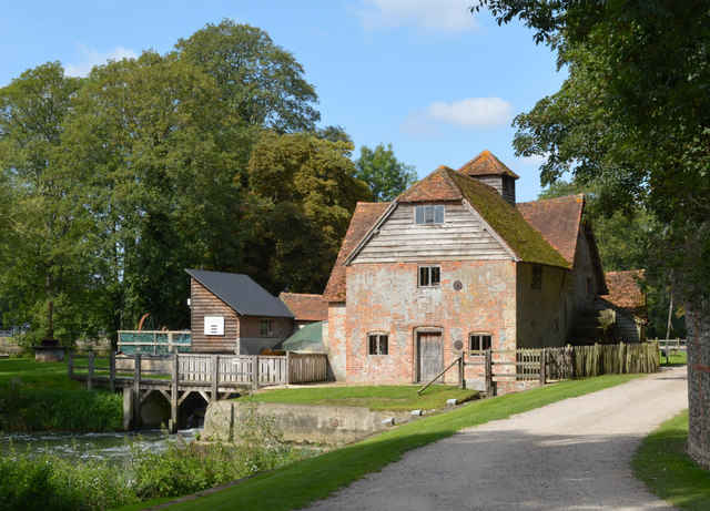
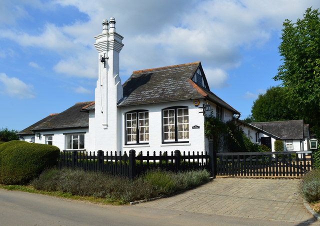
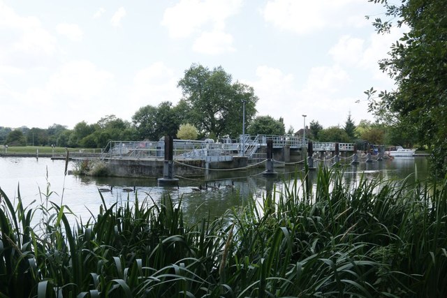
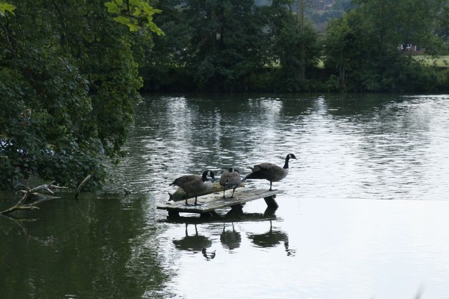
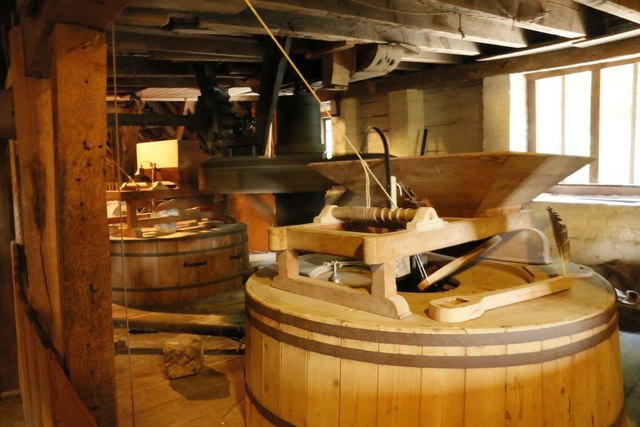
Browns Hill Images
Images are sourced within 2km of 51.501736/-1.0252988 or Grid Reference SU6778. Thanks to Geograph Open Source API. All images are credited.


Browns Hill is located at Grid Ref: SU6778 (Lat: 51.501736, Lng: -1.0252988)
Administrative County: Oxfordshire
District: South Oxfordshire
Police Authority: Thames Valley
What 3 Words
///reclining.zealous.double. Near Sonning Common, Oxfordshire
Nearby Locations
Related Wikis

Trench Green
Trench Green is a hamlet in Oxfordshire about 1 mile (1.6 km) northeast of the village of Mapledurham and about 4 miles (6.4 km) northwest of Reading in...

1947 Thames flood
The 1947 Thames flood was the most severe flood of the River Thames in the 20th century, affecting much of the Thames Valley as well as elsewhere in England...

Chazey Heath
Chazey Heath is a hamlet in Oxfordshire, England, about 3 miles (4.8 km) north of Reading, Berkshire. It is situated on the A4074 road, between Caversham...

Mapledurham Watermill
Mapledurham Watermill is a historic watermill in the civil parish of Mapledurham in the English county of Oxfordshire. It is driven by the head of water...

Hardwick House, Oxfordshire
Hardwick House is a Tudor house on the banks of the River Thames on a slight rise at Whitchurch-on-Thames in the English county of Oxfordshire. It is reputed...

Mapledurham House
Mapledurham House is an Elizabethan stately home located in the civil parish of Mapledurham in the English county of Oxfordshire. It is a Grade I listed...

Mapledurham Lock
Mapledurham Lock is a lock and weir situated on the River Thames in England, about 4 miles upstream of Reading. The lock was first built in 1777 by the...

Mapledurham
Mapledurham is a small village, civil parish and country estate beside the River Thames in southern Oxfordshire, England. The large parish borders Caversham...
Nearby Amenities
Located within 500m of 51.501736,-1.0252988Have you been to Browns Hill?
Leave your review of Browns Hill below (or comments, questions and feedback).