Bangram Hill
Hill, Mountain in Yorkshire Selby
England
Bangram Hill
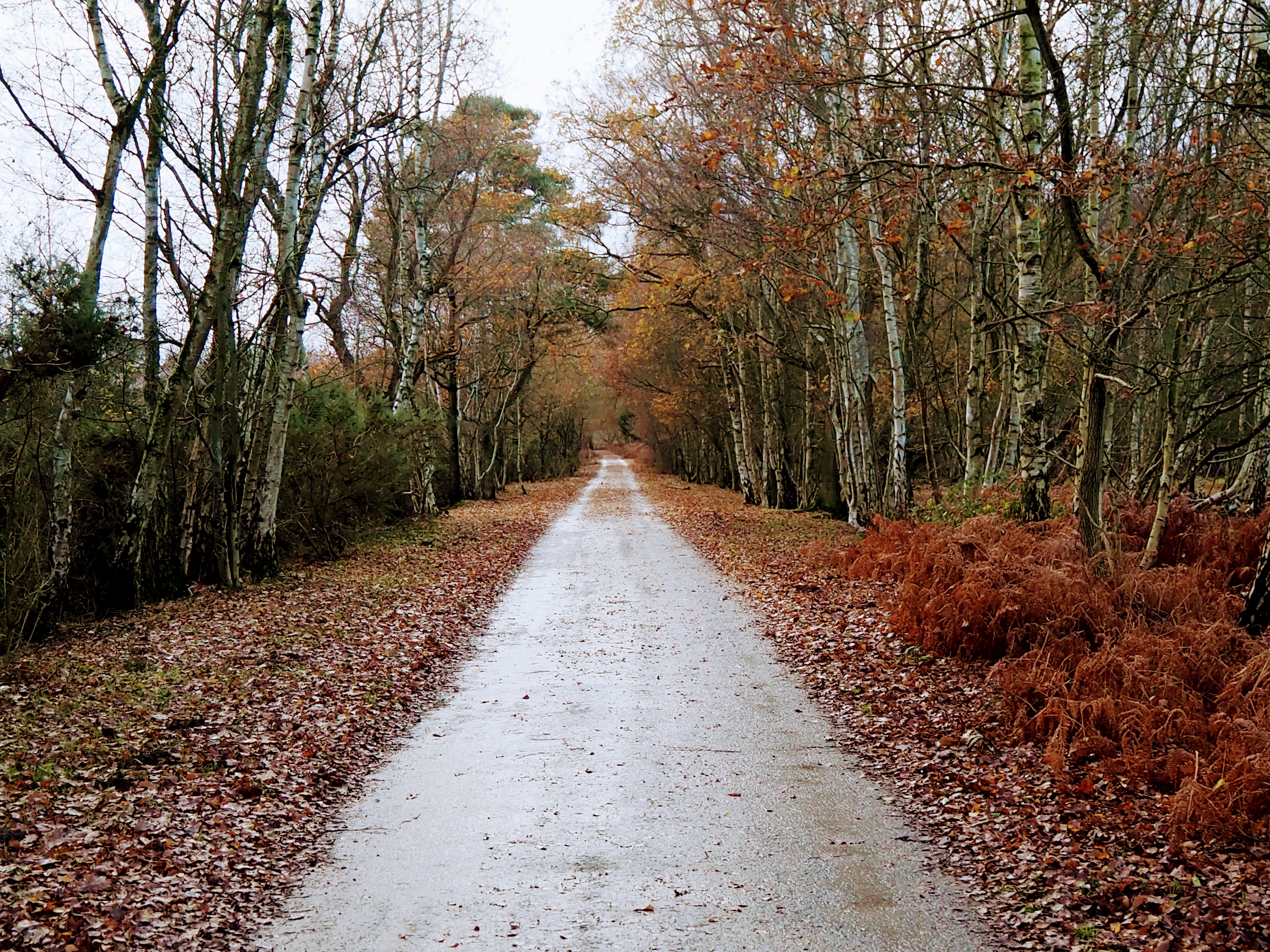
Bangram Hill is a prominent geographical feature located in the county of Yorkshire, England. It is classified as a hill and is situated within the Yorkshire Dales National Park, which is renowned for its stunning landscapes and natural beauty. Bangram Hill offers visitors breathtaking panoramic views of the surrounding countryside, making it a popular destination for hikers, nature enthusiasts, and tourists alike.
With an elevation of approximately 567 meters (1,860 feet), Bangram Hill stands tall amidst the rolling hills and valleys of Yorkshire. Its distinctive shape and rugged terrain make it a notable landmark in the area. The hill is characterized by its steep slopes, rocky outcrops, and verdant vegetation, providing a diverse range of habitats for various flora and fauna.
The ascent to the summit of Bangram Hill offers a rewarding experience, with well-defined footpaths and trails guiding explorers through its undulating landscape. The hill's summit provides a breathtaking viewpoint, allowing visitors to admire the vast expanse of the Yorkshire Dales, including picturesque villages, patchwork fields, and meandering rivers.
Bangram Hill is also steeped in historical significance. It is believed to have been inhabited since prehistoric times, evidenced by the presence of ancient burial mounds and stone circles in the surrounding areas. The hill's rich history and natural beauty make it a site of cultural and ecological importance.
Overall, Bangram Hill offers visitors an opportunity to immerse themselves in the captivating Yorkshire countryside, providing a memorable experience amidst its scenic vistas and ancient heritage.
If you have any feedback on the listing, please let us know in the comments section below.
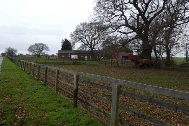
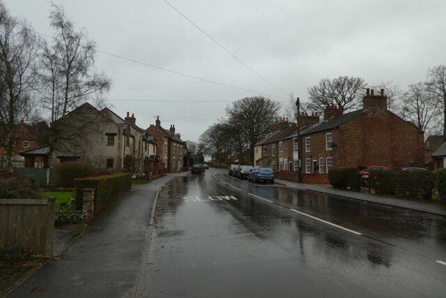
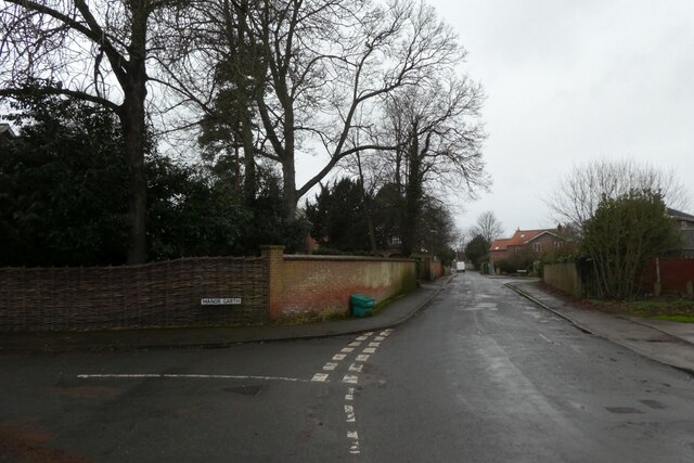
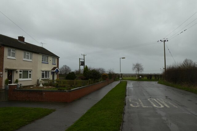
Bangram Hill Images
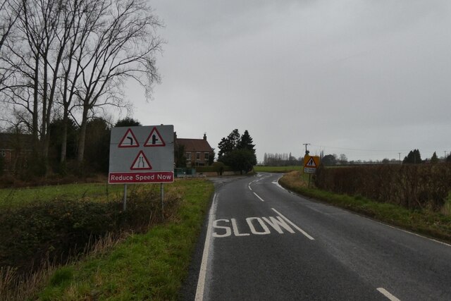
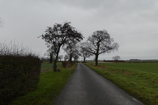
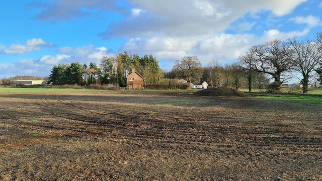
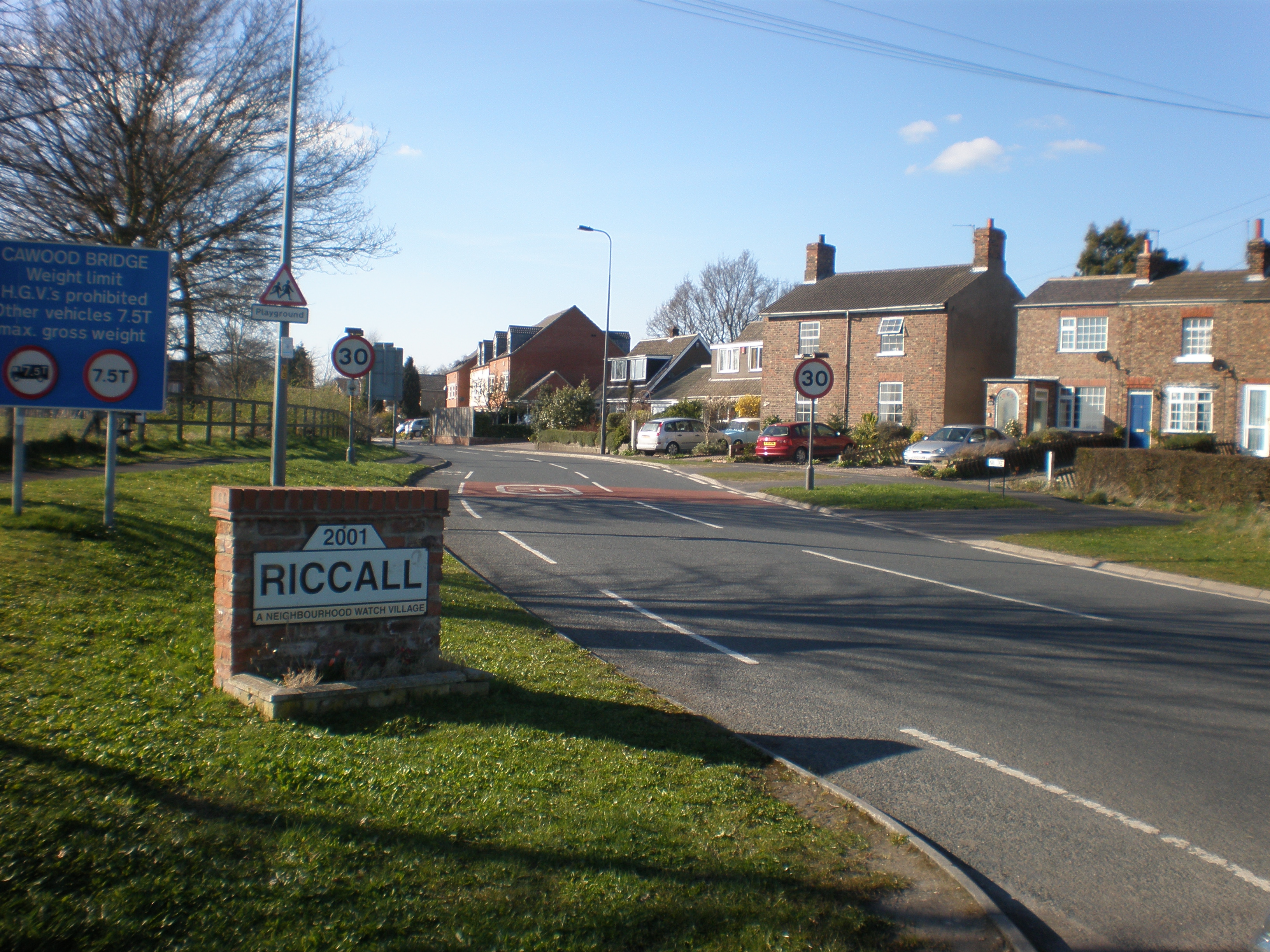
Images are sourced within 2km of 53.836532/-1.0464797 or Grid Reference SE6238. Thanks to Geograph Open Source API. All images are credited.


Bangram Hill is located at Grid Ref: SE6238 (Lat: 53.836532, Lng: -1.0464797)
Division: East Riding
Administrative County: North Yorkshire
District: Selby
Police Authority: North Yorkshire
What 3 Words
///asked.garden.pleasing. Near Riccall, North Yorkshire
Nearby Locations
Related Wikis

Riccal Rural District
Riccal was a rural district in the East Riding of Yorkshire, England from 1894 to 1935.It was formed in 1894 from that part of the Selby rural sanitary...

Riccall railway station
Riccall railway station was a railway station which served the village of Riccall, north of Selby, on the East Coast Main Line. It was opened in 1871,...
Riccall
Riccall is a village and civil parish in North Yorkshire, England, lying 3.5 miles (6 km) to the north of Selby and 9 miles (14 km) south of York. Riccall...

St Mary's Church, Riccall
St Mary's Church is the parish church of Riccall, a village north of Selby in North Yorkshire, England. The oldest part of the church are the three western...
RAF Riccall
RAF Riccall is a former Royal Air Force airfield located 3.1 miles (5 km) north east of Selby, North Yorkshire and 7.9 miles (12.7 km) south west of Elvington...

Garden Temple
Garden Temple, also known as Escrick Park Temple, is a temple and folly in Escrick, North Yorkshire, England. The temple is listed as a grade II building...

Skipwith
Skipwith is a village and civil parish about 4 miles (6.4 km) north-east of Selby and 10 miles (16 km) south-east of York in North Yorkshire, England....
Skipwith Common
Skipwith Common is a national nature reserve south of Skipwith, North Yorkshire, England. It is one of only three areas within the Vale of York that represent...
Nearby Amenities
Located within 500m of 53.836532,-1.0464797Have you been to Bangram Hill?
Leave your review of Bangram Hill below (or comments, questions and feedback).