Wicketwood Hill
Hill, Mountain in Nottinghamshire Gedling
England
Wicketwood Hill
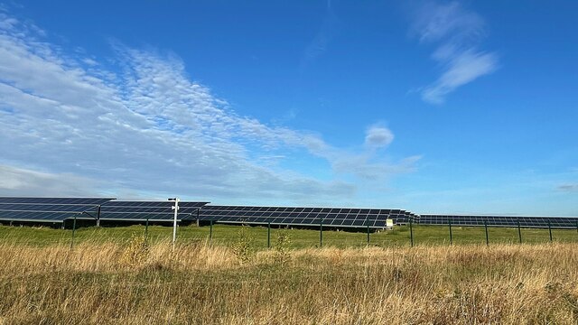
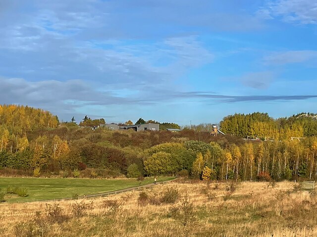
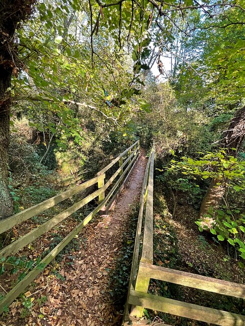
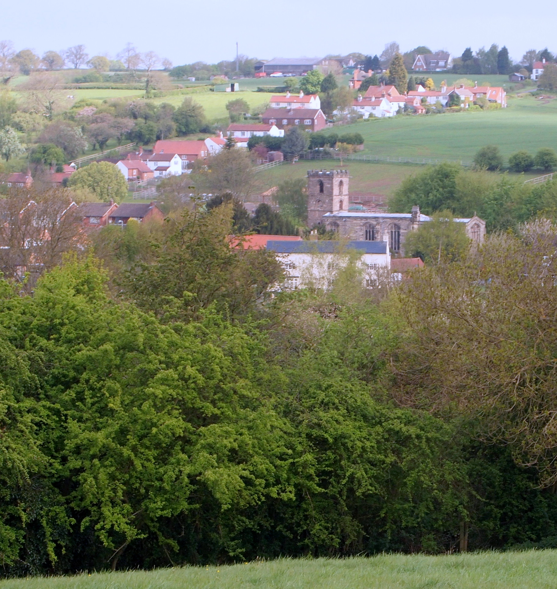
Wicketwood Hill is a prominent hill located in the county of Nottinghamshire, England. Situated near the small village of Wicketwood, the hill is known for its picturesque beauty and stunning panoramic views of the surrounding countryside.
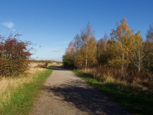
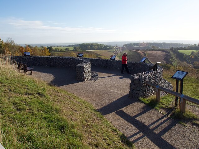
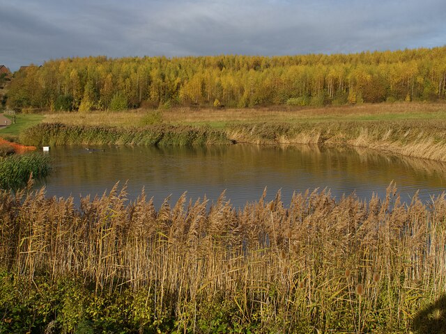
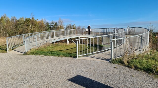
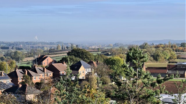
Rising to an elevation of approximately 200 meters (656 feet), Wicketwood Hill stands as one of the highest points in the region, providing visitors with a commanding vantage point. The hill is covered in lush greenery, featuring a mix of woodland and open fields. It is a popular destination for nature enthusiasts, hikers, and photographers who are drawn to its serene and unspoiled landscape.
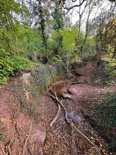
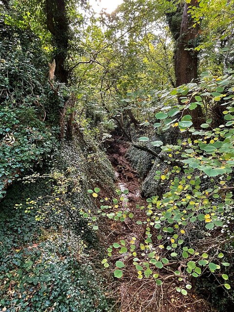
The hill offers a range of walking trails, allowing visitors to explore its diverse flora and fauna. From the top, one can marvel at the expansive vistas that stretch as far as the eye can see, encompassing rolling hills, quaint villages, and sprawling farmlands. On clear days, it is even possible to catch a glimpse of the distant Nottingham skyline.
Wicketwood Hill is also steeped in history, with evidence of ancient settlements and archaeological finds dating back to the Neolithic period. The surrounding area has been the subject of numerous excavations, uncovering artifacts and remains that shed light on the area's past.
Access to Wicketwood Hill is facilitated by a network of well-maintained footpaths and bridleways, making it easily accessible to both locals and tourists. Whether one seeks tranquil solitude, breathtaking views, or a glimpse into the region's history, Wicketwood Hill offers a captivating and memorable experience for all who visit.
If you have any feedback on the listing, please let us know in the comments section below.
Wicketwood Hill Images
Images are sourced within 2km of 52.993976/-1.0669258 or Grid Reference SK6244. Thanks to Geograph Open Source API. All images are credited.


Wicketwood Hill is located at Grid Ref: SK6244 (Lat: 52.993976, Lng: -1.0669258)
Administrative County: Nottinghamshire
District: Gedling
Police Authority: Nottinghamshire
What 3 Words
///loads.wiring.swim. Near Burton Joyce, Nottinghamshire
Nearby Locations
Related Wikis
Lambley, Nottinghamshire
Lambley is an English village and civil parish near Nottingham, England, hardly touched by urbanisation, as it lies in a green belt. The population recorded...
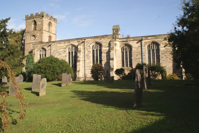
Holy Trinity Church, Lambley
Holy Trinity Church, Lambley is a Grade I listed parish church in the Church of England in Lambley, Nottinghamshire. == History == The church dates from...
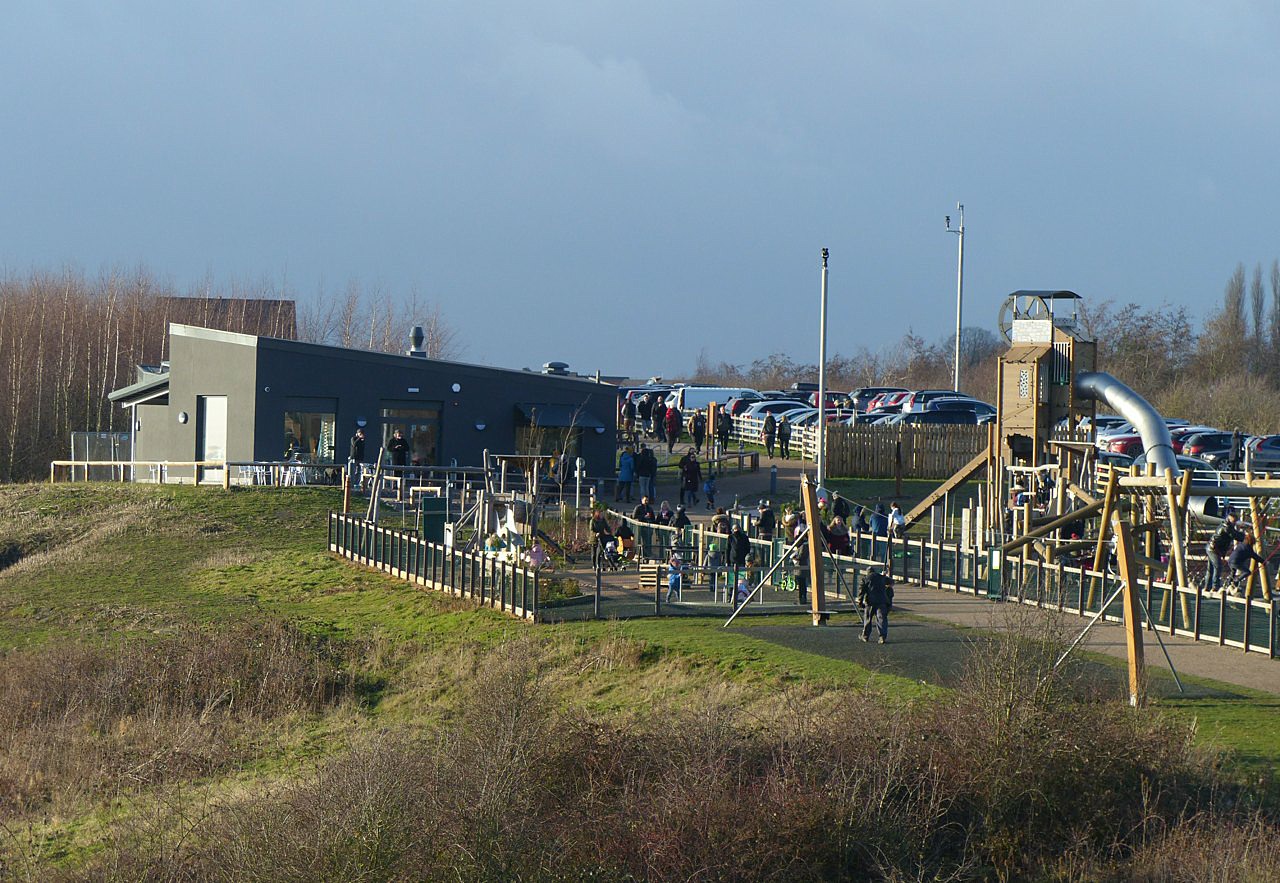
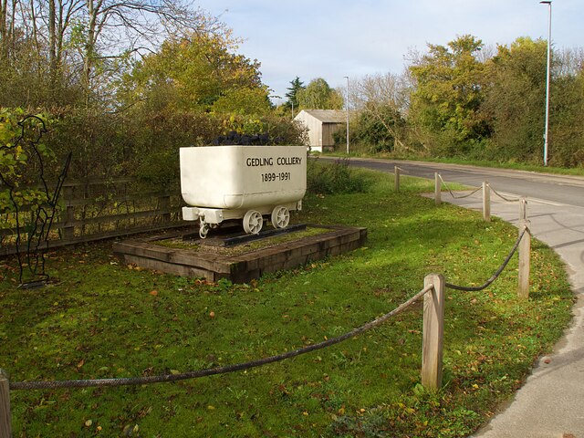
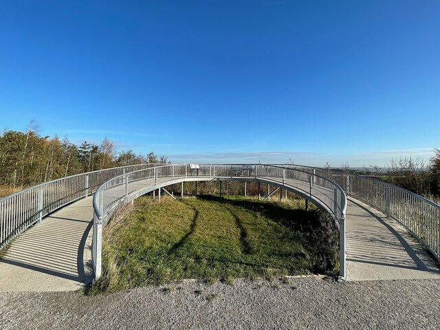
Gedling Country Park
Gedling Country Park is a country park in Gedling, Nottingham, England. == History == The park is on the grounds of the former Gedling Colliery, which...

United Reformed Church, Burton Joyce
The United Reformed Church (formerly known as the village's Congregationalist Church) is a now redundant Christian church that operated under the United...

St Helen's Church, Burton Joyce
St Helen's Church is a Grade I listed parish church in the Church of England in Burton Joyce, Nottinghamshire, England. == History == It was built in the...

Mary Hardstaff Homes
The Mary Hardstaff Homes, are 10 almshouses on Arnold Lane in Gedling, Nottingham. These were built as Almshouses in 1936 for the widows and orphans of...

Burton Joyce railway station
Burton Joyce railway station serves the large village of Burton Joyce in Nottinghamshire, England. It lies between Carlton and Lowdham stations on the...

Carlton le Willows Academy
Carlton le Willows Academy is an 11–18 mixed, secondary school and sixth form with academy status in Gedling, Nottinghamshire, England. It is part of the...
Nearby Amenities
Located within 500m of 52.993976,-1.0669258Have you been to Wicketwood Hill?
Leave your review of Wicketwood Hill below (or comments, questions and feedback).