Catsbrain Hill
Hill, Mountain in Oxfordshire South Oxfordshire
England
Catsbrain Hill

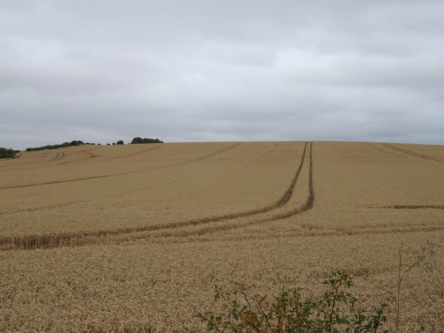
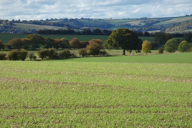
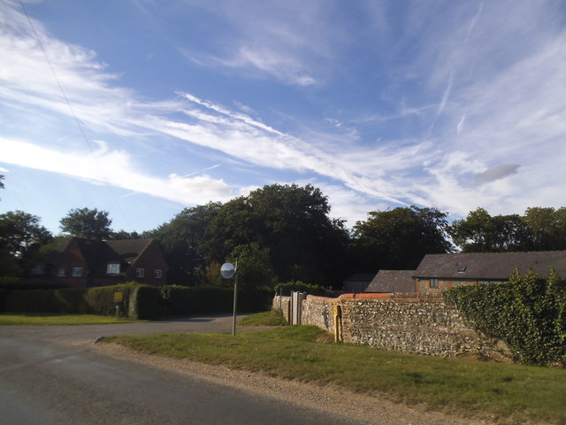
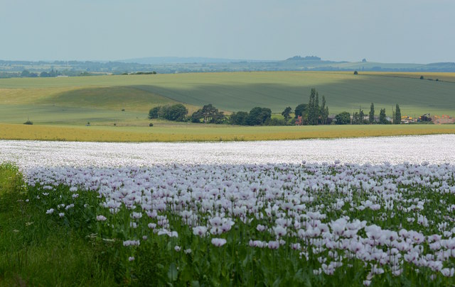
Catsbrain Hill is a prominent natural landmark located in Oxfordshire, England. It is classified as a hill rather than a mountain, standing at an elevation of approximately 220 meters (720 feet) above sea level. Situated near the village of Nuneham Courtenay, Catsbrain Hill offers stunning panoramic views of the surrounding countryside.
The hill derives its peculiar name from a combination of "cats" and "brain," although the true origin of this name remains unknown. Despite its slightly unusual name, Catsbrain Hill is a popular destination for hikers, nature enthusiasts, and photographers, who are drawn to its scenic beauty and picturesque landscapes.
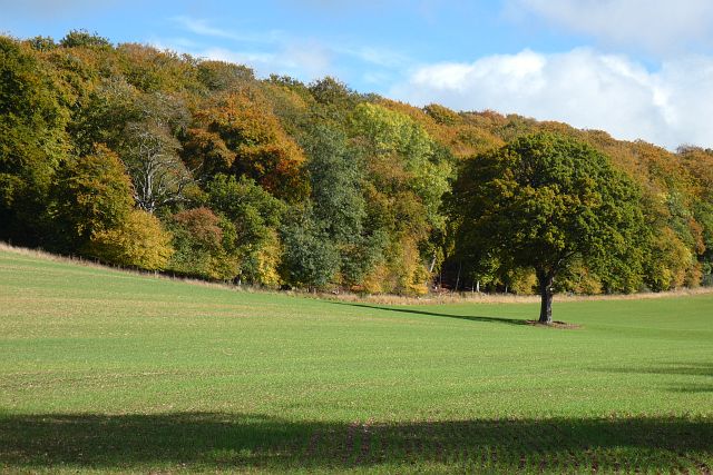
The hill is characterized by its gentle slopes and lush greenery, making it an ideal spot for outdoor activities such as walking, jogging, and picnicking. The surrounding area is home to diverse wildlife, including various bird species, rabbits, and deer, adding to the charm of the hill.
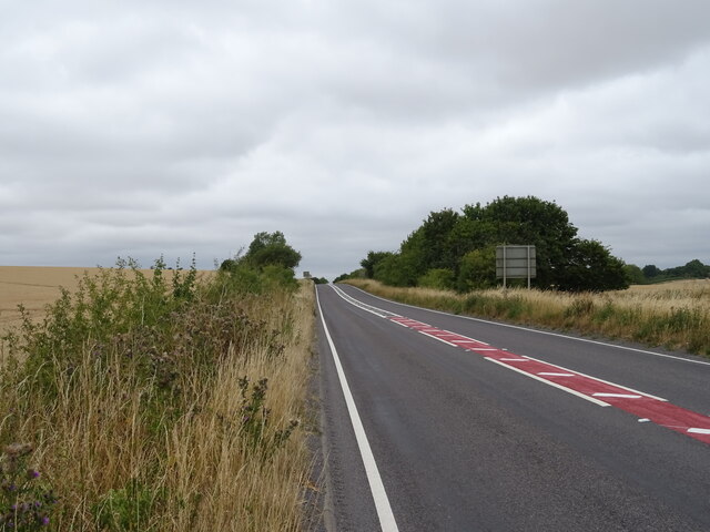
Catsbrain Hill is easily accessible, with several footpaths and trails leading to its summit. The ascent is relatively moderate, making it suitable for individuals of varying fitness levels. At the top, visitors are rewarded with breathtaking views of the River Thames and the Oxfordshire countryside, providing ample opportunities for photography and relaxation.
Overall, Catsbrain Hill offers a tranquil escape from the bustling city life, allowing visitors to connect with nature and enjoy the beauty of the Oxfordshire landscape.
If you have any feedback on the listing, please let us know in the comments section below.
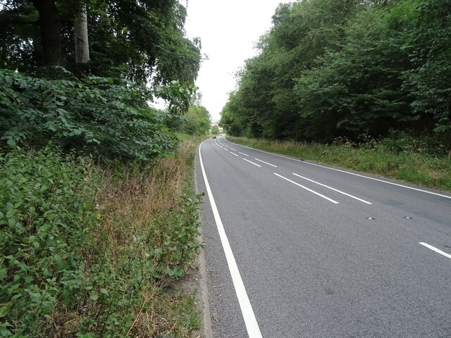
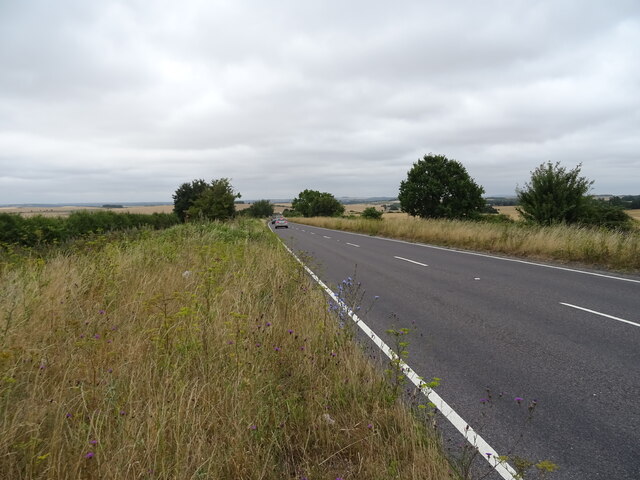
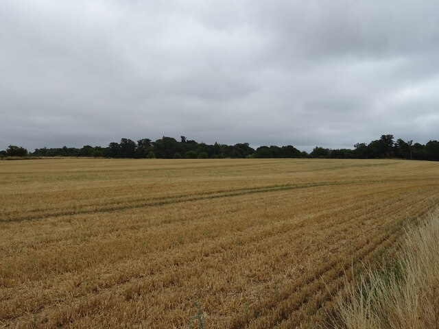
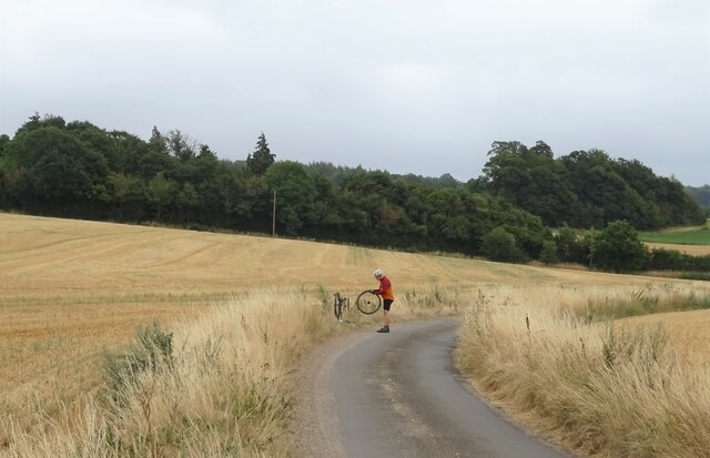
Catsbrain Hill Images
Images are sourced within 2km of 51.540567/-1.1013538 or Grid Reference SU6282. Thanks to Geograph Open Source API. All images are credited.


Catsbrain Hill is located at Grid Ref: SU6282 (Lat: 51.540567, Lng: -1.1013538)
Administrative County: Oxfordshire
District: South Oxfordshire
Police Authority: Thames Valley
What 3 Words
///haircuts.majority.scratches. Near Goring, Oxfordshire
Nearby Locations
Related Wikis
Chiltern Park Aerodrome
Chiltern Park Aerodrome was a private airfield near Woodcote and Ipsden in Oxfordshire. It was within RAF Benson's Military Aerodrome Traffic Zone.The...

Elvendon
Elvendon is a small settlement in Oxfordshire and the Chiltern Hills, near Goring. It includes the grade II listed building Elvendon Priory. == Etymology... ==

Braziers Park
Braziers Park is a Grade II* country house and estate on the edge of Ipsden - a small village near Wallingford, Oxfordshire, England - housing a secular...
Wood (festival)
Wood is an annual small early summer folk and roots music festival and environmental gathering, which takes place in Braziers Park, Ipsden near Wallingford...

Woodcote
Woodcote is a village and civil parish in South Oxfordshire, about 5 miles (8 km) southeast of Wallingford and about 7 miles (11 km) northwest of Reading...

Goring Heath
Goring Heath is a hamlet and civil parish in the Chiltern Hills in South Oxfordshire. The civil parish includes the villages of Whitchurch Hill and Crays...

Withymead Nature Reserve
Withymead Nature Reserve is a 13-acre (5.3 ha) site on the banks of the River Thames near Goring-on-Thames, Oxfordshire. The nature reserve is managed...

South Stoke, Oxfordshire
South Stoke is a village and civil parish on an east bank of the Thames, about 1.5 miles (2.4 km) north of Goring-on-Thames in South Oxfordshire. It includes...
Nearby Amenities
Located within 500m of 51.540567,-1.1013538Have you been to Catsbrain Hill?
Leave your review of Catsbrain Hill below (or comments, questions and feedback).