Hunger Hill
Hill, Mountain in Nottinghamshire Gedling
England
Hunger Hill

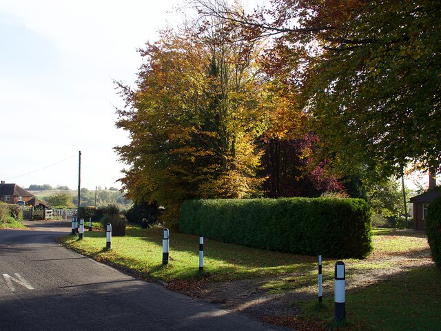
Hunger Hill is a prominent geographical feature located in Nottinghamshire, England. Despite its name, it is not an actual hill or mountain, but rather a small elevated area that offers scenic views of the surrounding countryside. Situated near the village of Selston, Hunger Hill stands at an elevation of approximately 200 meters above sea level.
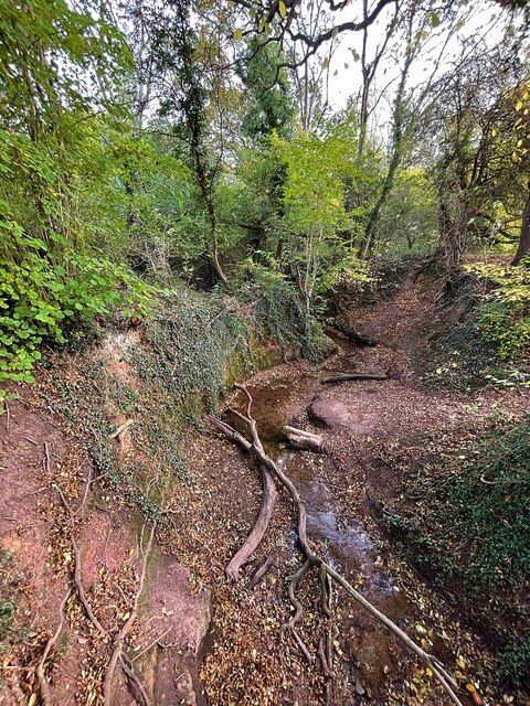
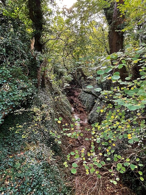
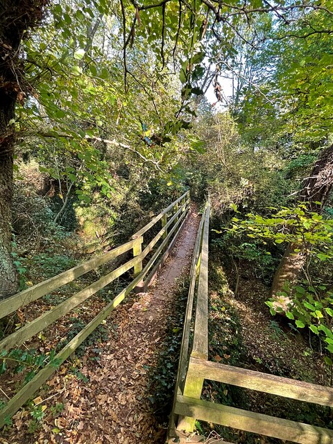
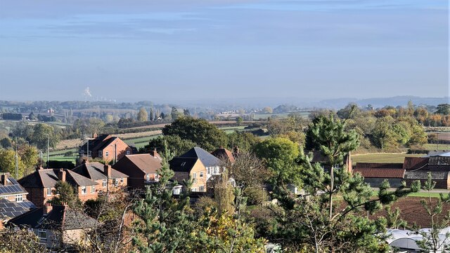
The landscape of Hunger Hill is characterized by rolling hills and lush green meadows, creating a picturesque backdrop for nature enthusiasts and hikers. The area is known for its tranquil and peaceful ambiance, making it a popular spot for those seeking a break from the bustling city life.
The name "Hunger Hill" has a fascinating origin, with various theories surrounding its meaning. One belief is that it derived from the time when the area suffered from famine or scarcity of food, while another suggests that it was once a place where travelers would stop to eat and rest.
Visitors to Hunger Hill can enjoy breathtaking panoramic views of the Nottinghamshire countryside, with landmarks such as Sherwood Forest and the Peak District National Park visible on clear days. The area is also home to a diverse range of flora and fauna, making it a haven for wildlife enthusiasts.
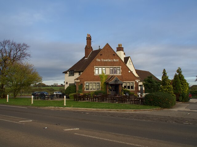
Hunger Hill is easily accessible by road, with parking facilities available nearby. It offers a tranquil escape for nature lovers and a chance to appreciate the beauty of the Nottinghamshire countryside. Whether it is a leisurely walk, a picnic, or simply soaking in the peaceful atmosphere, Hunger Hill provides a serene retreat for all who visit.
If you have any feedback on the listing, please let us know in the comments section below.
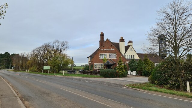
Hunger Hill Images
Images are sourced within 2km of 53.012381/-1.0776482 or Grid Reference SK6146. Thanks to Geograph Open Source API. All images are credited.


Hunger Hill is located at Grid Ref: SK6146 (Lat: 53.012381, Lng: -1.0776482)
Administrative County: Nottinghamshire
District: Gedling
Police Authority: Nottinghamshire
What 3 Words
///moving.brisk.shaped. Near Calverton, Nottinghamshire
Nearby Locations
Related Wikis

Woodborough, Nottinghamshire
Woodborough is a village and civil parish in the Gedling district, in the county of Nottinghamshire, England. It is located 7 miles north-east of Nottingham...
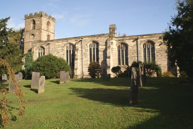
Holy Trinity Church, Lambley
Holy Trinity Church, Lambley is a Grade I listed parish church in the Church of England in Lambley, Nottinghamshire. == History == The church dates from...
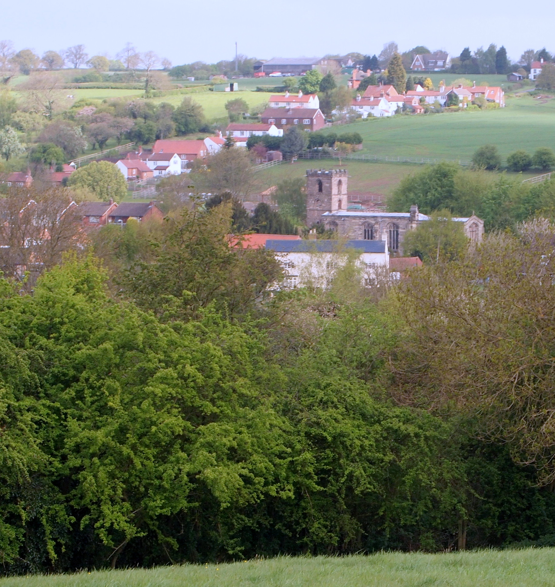
Lambley, Nottinghamshire
Lambley is an English village and civil parish near Nottingham, England, hardly touched by urbanisation, as it lies in a green belt. The population recorded...
St Swithun's Church, Woodborough
St Swithun's Church is a parish church in the Church of England in Woodborough, Nottinghamshire. == History == The church is medieval with the chancel...
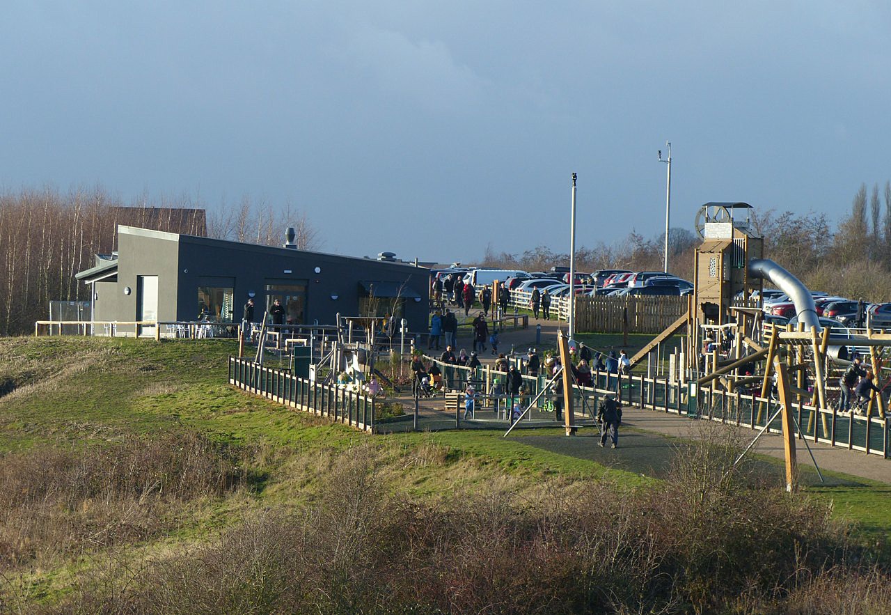
Gedling Country Park
Gedling Country Park is a country park in Gedling, Nottingham, England. == History == The park is on the grounds of the former Gedling Colliery, which...

HM Prison Lowdham Grange
HM Prison Lowdham Grange is a Category B men's private prison, located in the village of Lowdham (near Nottingham) in Nottinghamshire, England. The prison...
Christ the King Catholic Voluntary Academy
Christ the King Catholic Voluntary Academy (formerly Christ The King School) is a mixed Roman Catholic secondary school and sixth form located in Arnold...

Killisick
Killisick is an area of the market town of Arnold in the ceremonial county of Nottinghamshire in the East Midlands of England. It also used to be a local...
Nearby Amenities
Located within 500m of 53.012381,-1.0776482Have you been to Hunger Hill?
Leave your review of Hunger Hill below (or comments, questions and feedback).