Ness of Queyhoose

Hill, Mountain in Shetland

Scotland

Ness of Queyhoose

Petester from Cliff, beside Loch of Cliff
Petester from Cliff, beside Loch of Cliff Credit: Mike Pennington

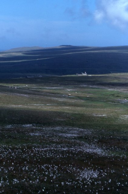
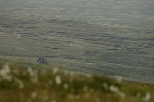
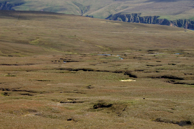
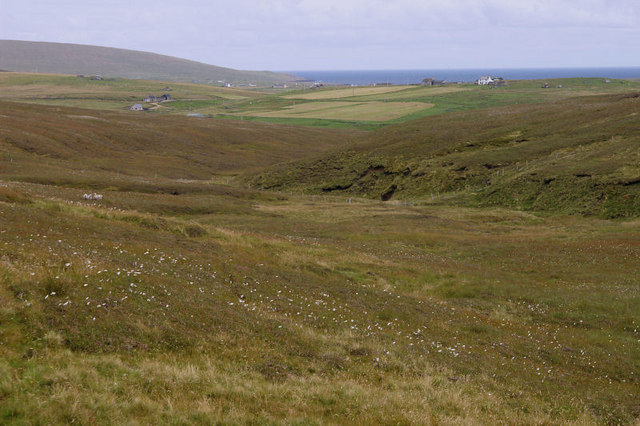
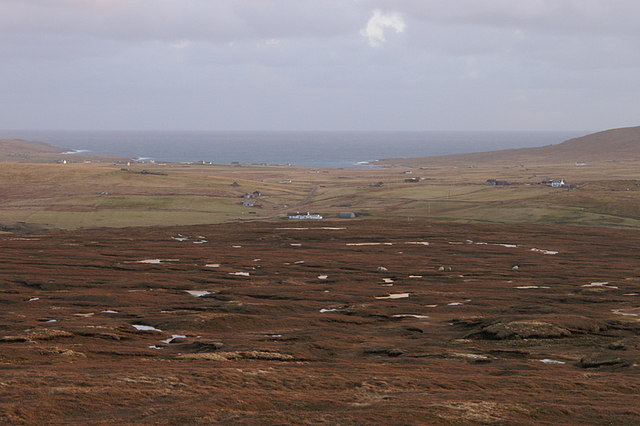
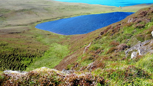
Ness of Queyhoose is a prominent hill located in the Shetland Islands, an archipelago off the northeast coast of Scotland. Rising to an elevation of approximately 220 meters (720 feet), it offers stunning panoramic views of the surrounding landscape and the North Sea. The hill is situated on the east coast of the mainland Shetland, near the village of Cunningsburgh.

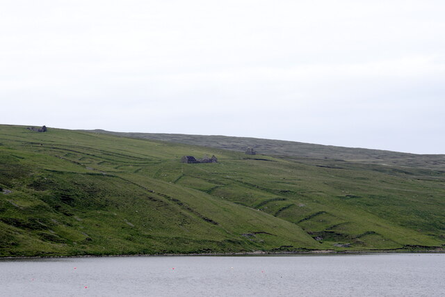
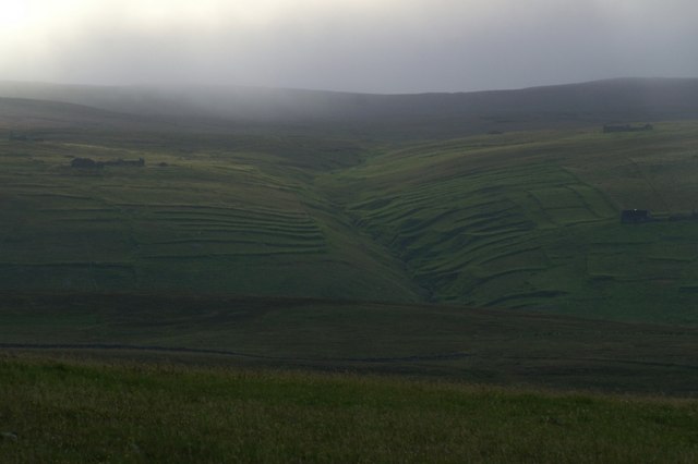
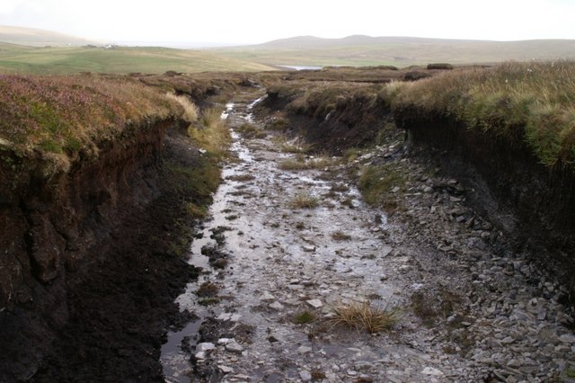
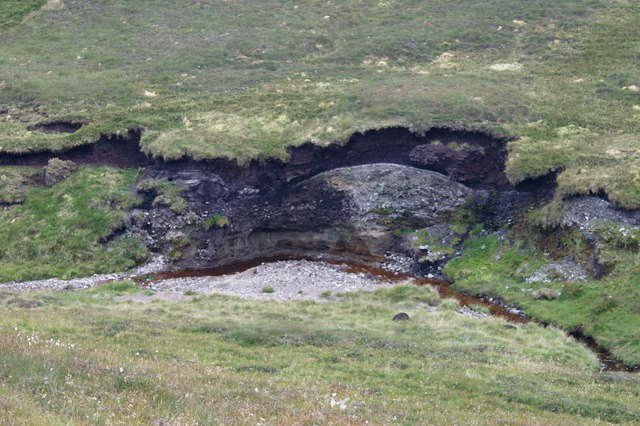
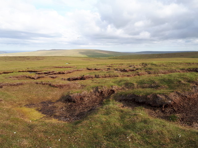
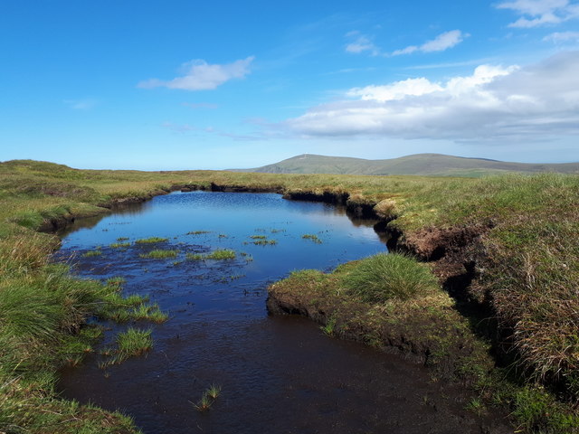
Ness of Queyhoose is characterized by its distinctive shape, with steep slopes and a rocky terrain. It is primarily composed of ancient sedimentary rocks, including sandstone and shale. The hill is known for its rugged beauty, with craggy cliffs and deep gullies that have been carved out by the forces of erosion over millions of years.

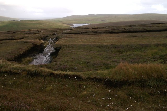
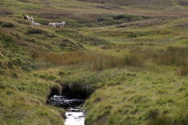
The area surrounding Ness of Queyhoose is rich in natural biodiversity, with heathland vegetation and a variety of bird species, including puffins, guillemots, and fulmars. The hill is also home to several archaeological sites, including the remains of a Viking settlement and a prehistoric broch, which is a circular stone tower.

Ness of Queyhoose is a popular destination for outdoor enthusiasts and hikers, offering a range of walking trails that cater to different levels of difficulty. Visitors to the hill can enjoy a challenging climb to its summit, where they can be rewarded with breathtaking views of the coastline and the surrounding islands.

Overall, Ness of Queyhoose is a remarkable natural landmark in the Shetland Islands, combining rugged beauty, rich biodiversity, and a glimpse into the region's fascinating history.

If you have any feedback on the listing, please let us know in the comments section below.

Ness of Queyhoose Images

Images are sourced within 2km of 60.792885/-0.88919341 or Grid Reference HP6012. Thanks to Geograph Open Source API. All images are credited.

Petester from Cliff, beside Loch of Cliff
Houllna Gruna Looking north along Loch of Cliff towards Saxa Vord.
Houllna Gruna
Looking north along Loch of Cliff towards Saxa Vord.
Petester Looking across Stivla Mires towards the abandoned village of Petester, with Crussa Field and the Heogs in the distance.
Petester
Looking across Stivla Mires towards the abandoned village of Petester, with Crussa Field and the Heogs in the distance.
The abandoned village of Petester From Crussa Field.
The abandoned village of Petester
From Crussa Field.
Abandoned peat-workings at the south end of Hermaness NNR Peats have not been cut here since the 1980s.
Abandoned peat-workings at the south end of Hermaness NNR
Peats have not been cut here since the 1980s.
Peat track at the south end of Hermaness NNR The peat here is only about a metre thick, and the track has been cut down to the bedrock.
Peat track at the south end of Hermaness NNR
The peat here is only about a metre thick, and the track has been cut down to the bedrock.
Milldale Burn Milldale on the map, but known as Tonga Daal locally.
Milldale Burn
Milldale on the map, but known as Tonga Daal locally.
Petester One of the ruined houses at Petester, a small village which was inhabited until the 1970s.
Petester
One of the ruined houses at Petester, a small village which was inhabited until the 1970s.
View north from Houllna Grouna Looking towards the Loch of Cliff and Saxa Vord.
View north from Houllna Grouna
Looking towards the Loch of Cliff and Saxa Vord.
Hill of Woodwick Ward of Petester, as this is named on the 1:50000 map, is the summit to the north of this according to the 1:25000 (and a knowledge of local geography).
Hill of Woodwick
Ward of Petester, as this is named on the 1:50000 map, is the summit to the north of this according to the 1:25000 (and a knowledge of local geography).
Blanket bog at the south end of Hermaness NNR With the slopes of Saxa Vord in the distance.
Blanket bog at the south end of Hermaness NNR
With the slopes of Saxa Vord in the distance.
Erosion along the Milldale Burn The burn has cut away at the soil to reveal a relatively thin layer of peat overlying a grey, stone-filled soil (glacial till?) and a sandy subsoil at the bottom.
Erosion along the Milldale Burn
The burn has cut away at the soil to reveal a relatively thin layer of peat overlying a grey, stone-filled soil (glacial till?) and a sandy subsoil at the bottom.
Looking down Milldale Some of the houses at Burrafirth can be seen in the distance and the Hill of Clibberswick is in the far distance on the left. Although named Milldale on the maps, it is known as Tonga Daal locally ('daal' is Shetlandic for dale or valley).
Looking down Milldale
Some of the houses at Burrafirth can be seen in the distance and the Hill of Clibberswick is in the far distance on the left. Although named Milldale on the maps, it is known as Tonga Daal locally ('daal' is Shetlandic for dale or valley).
West shore of Loch of Cliff, between Houlland and Petester Looking north from Laggans, north of Houlland. Houses of Petester can just be seen perched above the bend in the loch, and Hermaness Hill is in the distance.
West shore of Loch of Cliff, between Houlland and Petester
Looking north from Laggans, north of Houlland. Houses of Petester can just be seen perched above the bend in the loch, and Hermaness Hill is in the distance.
View east from Mill Field, Hermaness Looking across the moorland on the ridge between Hoveburn and Milldale. The white house in the centre is Lower Sotland at Burrafirth with a view right across to Harold's Wick.
View east from Mill Field, Hermaness
Looking across the moorland on the ridge between Hoveburn and Milldale. The white house in the centre is Lower Sotland at Burrafirth with a view right across to Harold's Wick.
Moorland west of Petester
Lochan on the east flanks of Libbers Hill
Hamars Dale, between Woodwick and Hermaness Looking towards North Water.
Hamars Dale, between Woodwick and Hermaness
Looking towards North Water.
Show me another place!

Ness of Queyhoose is located at Grid Ref: HP6012 (Lat: 60.792885, Lng: -0.88919341)

Unitary Authority: Shetland Islands

Police Authority: Highlands and Islands

What 3 Words

///widely.caused.windmill. Near Haroldswick, Shetland Islands

Nearby Locations

Ness of Queyhoose

Related Wikis

Burrafirth

Burrafirth links (Old Norse: Borgarfjorðr, meaning "the fjord with a castle") is a strip of land with a few houses on the island of Unst, Shetland, Scotland...

Haroldswick

Haroldswick or Harold's Wick (Old Norse: Haraldsvík, 'Harald's bay'), is on Unst, Shetland Islands, Scotland, and is one of the most northerly settlements...

Valhalla Brewery

The Valhalla Brewery in Unst, Shetland, Scotland, was the northernmost brewery in the United Kingdom. It was opened by the husband and wife team Sonny...

Saxa Vord distillery

Saxa Vord distillery is a Scotch whisky and gin distillery on the island of Unst, part of the Shetland islands. The distillery takes its name from its...

Have you been to Ness of Queyhoose?

Leave your review of Ness of Queyhoose below (or comments, questions and feedback).