Blackcliffe Hill

Hill, Mountain in Nottinghamshire Rushcliffe

England

Blackcliffe Hill

British Geological Survey, Keyworth The main entrance to the campus.
British Geological Survey, Keyworth Credit: Alan Murray-Rust

Blackcliffe Hill, located in Nottinghamshire, England, is a notable hill that offers breathtaking views of the surrounding countryside. Standing at an elevation of approximately 210 meters, it is often referred to as the highest point in the region, making it a popular destination for hikers and nature enthusiasts.

The hill itself is covered in lush greenery, with a variety of trees and plants dotting its slopes. Its landscape is characterized by gentle inclines and undulating terrain, providing a moderate challenge for those seeking a leisurely hike. The ascent to the summit is relatively easy, with well-maintained paths leading the way.

At the top of Blackcliffe Hill, visitors are rewarded with panoramic vistas that stretch for miles. On clear days, it is possible to see the distant city of Nottingham, as well as the rolling hills and valleys that make up Nottinghamshire's picturesque countryside. The views are particularly stunning during sunrise and sunset, when the sky is painted with vibrant hues of orange and pink.

Aside from its natural beauty, Blackcliffe Hill also holds historical significance. It is believed to have been a prominent site during the Iron Age, with evidence of ancient settlements and burial mounds discovered in the vicinity. Archaeological excavations have uncovered artifacts and remains that shed light on the area's past, adding to its allure for history enthusiasts.

In summary, Blackcliffe Hill in Nottinghamshire is a captivating hill that offers visitors a chance to immerse themselves in nature, soak in breathtaking views, and uncover the region's rich history.

If you have any feedback on the listing, please let us know in the comments section below.

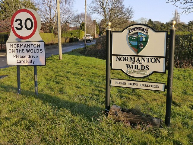
Blackcliffe Hill Images

Images are sourced within 2km of 52.882368/-1.1074997 or Grid Reference SK6032. Thanks to Geograph Open Source API. All images are credited.

British Geological Survey, Keyworth The main entrance to the campus.
British Geological Survey, Keyworth
The main entrance to the campus.
Spinners Croft, Keyworth A new major development of 187 homes between Platt Lane and Station Road.
Spinners Croft, Keyworth
A new major development of 187 homes between Platt Lane and Station Road.
Normanton Lane, Keyworth Recreating this 'First' for the square <a title="https://www.geograph.org.uk/photo/235547" href="https://www.geograph.org.uk/photo/235547">Link</a> . I have reused the original title although most of the visible roadway is Station Road.
Normanton Lane, Keyworth
Recreating this 'First' for the square Link . I have reused the original title although most of the visible roadway is Station Road.
Armstrong Road, Keyworth Part of the new Spinners Croft housing development.
Armstrong Road, Keyworth
Part of the new Spinners Croft housing development.
Pond at Spinners Croft Created to absorb surface run-off from the new housing development.
Pond at Spinners Croft
Created to absorb surface run-off from the new housing development.
Welcome to Normanton on the Wolds The new village sign shows various associations, including a Norman helmet.
Welcome to Normanton on the Wolds
The new village sign shows various associations, including a Norman helmet.
Tollerton, near Nottingham Recreating this 'First' for the square <a title="https://www.geograph.org.uk/photo/186183" href="https://www.geograph.org.uk/photo/186183">Link</a> . Melton Road at the junction with Tollerton Lane.
Tollerton, near Nottingham
Recreating this 'First' for the square Link . Melton Road at the junction with Tollerton Lane.
The remains of Manor Farm farmyard No longer attached to the original farm, behind the fence to the right, where the outbuildings have been converted to residential use. The separate passage of the footpath appears to be a quite recent (c.2015) development.
The remains of Manor Farm farmyard
No longer attached to the original farm, behind the fence to the right, where the outbuildings have been converted to residential use. The separate passage of the footpath appears to be a quite recent (c.2015) development.
Hall Farmhouse, west front The stone section dates from the early 17th century, with much of the rest of the house from the mid 18th century. Listed Grade II.
Hall Farmhouse, west front
The stone section dates from the early 17th century, with much of the rest of the house from the mid 18th century. Listed Grade II.
Hall Farmhouse, south front This section of the house dates from the mid 18th century. Listed Grade II. The outbuilding is an early 21st century garage.
Hall Farmhouse, south front
This section of the house dates from the mid 18th century. Listed Grade II. The outbuilding is an early 21st century garage.
Gateway to the Old Rectory The gateway and its flanking curved walls date from the early 19th century and are Listed Grade II for group value.
Gateway to the Old Rectory
The gateway and its flanking curved walls date from the early 19th century and are Listed Grade II for group value.
Stable block at The Old Rectory Early 19th century with some windows with 'Gothick' glazing bars. Now adapted for residential use, Listed Grade II.
Stable block at The Old Rectory
Early 19th century with some windows with 'Gothick' glazing bars. Now adapted for residential use, Listed Grade II.
Burnside Memorial Hall, Plumtree An update to my 2011 view <a title="https://www.geograph.org.uk/photo/2696510" href="https://www.geograph.org.uk/photo/2696510">Link</a> . New flank walls to the gateway, a new notice board and the removal of the tree.
Burnside Memorial Hall, Plumtree
An update to my 2011 view Link . New flank walls to the gateway, a new notice board and the removal of the tree.
Stable block at The Old Rectory Early 19th century with some windows with 'Gothick' glazing bars. Now adapted for residential use, Listed Grade II.
Stable block at The Old Rectory
Early 19th century with some windows with 'Gothick' glazing bars. Now adapted for residential use, Listed Grade II.
Plumtree War Memorial Celtic cross with sword of sacrifice, in rough-hewn granite, unveiled 1921. Listed Grade II.
Plumtree War Memorial
Celtic cross with sword of sacrifice, in rough-hewn granite, unveiled 1921. Listed Grade II.
Church of St Mary, Plumtree West doorway. Early Norman arcading, 11th century, enclosing what is thought to be an earlier Saxon doorway. The 4-centred doorway is a 15th century insertion. Listed Grade I.
Church of St Mary, Plumtree
West doorway. Early Norman arcading, 11th century, enclosing what is thought to be an earlier Saxon doorway. The 4-centred doorway is a 15th century insertion. Listed Grade I.
Hall Farmhouse, Plumtree, east front This side of the house consists largely of early 18th century enlargement of an earlier 17th century house <a title="https://www.geograph.org.uk/photo/7080136" href="https://www.geograph.org.uk/photo/7080136">Link</a> . Listed Grade II.
Hall Farmhouse, Plumtree, east front
This side of the house consists largely of early 18th century enlargement of an earlier 17th century house Link . Listed Grade II.
Church of St Mary, Plumtree The east end. The north aisle window is 15th century, moved from the chancel during the rebuilding of the 1870s, when the new, larger, east window was inserted. Listed Grade I.
Church of St Mary, Plumtree
The east end. The north aisle window is 15th century, moved from the chancel during the rebuilding of the 1870s, when the new, larger, east window was inserted. Listed Grade I.
Show me another place!

Blackcliffe Hill is located at Grid Ref: SK6032 (Lat: 52.882368, Lng: -1.1074997)

Administrative County: Nottinghamshire

District: Rushcliffe

Police Authority: Nottinghamshire

What 3 Words

///sports.flown.cloud. Near Keyworth, Nottinghamshire

Nearby Locations

Blackcliffe Hill

Related Wikis

St Peter's Church, Flawford

St Peter's Church was a Church of England church in Flawford, Nottinghamshire. == History == The church is famous for the discovery of three Nottingham...

Plumtree railway station

Plumtree railway station served Plumtree in the English county of Nottinghamshire, on the Nottingham direct line of the Midland Railway between London...

Keyworth

Keyworth () is a large village of Nottinghamshire, England. It is located about 6 miles (11 km) southeast of the centre of Nottingham. It sits on a small...

Church of St Mary the Virgin, Plumtree

The Church of St Mary the Virgin, Plumtree is a parish church in the Church of England in Plumtree, Nottinghamshire. The church is Grade II listed by the...

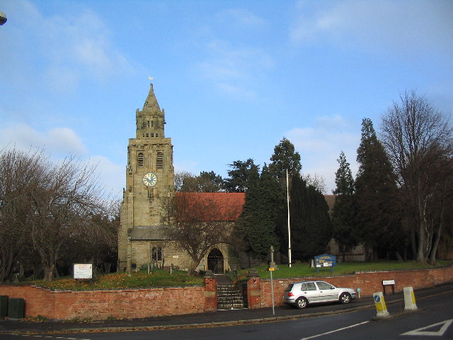
Church of St Mary Magdalene, Keyworth

The Church of St. Mary Magdalene is a Grade-I listed church located in Keyworth, Nottinghamshire, England. == Description == The church dates from the...

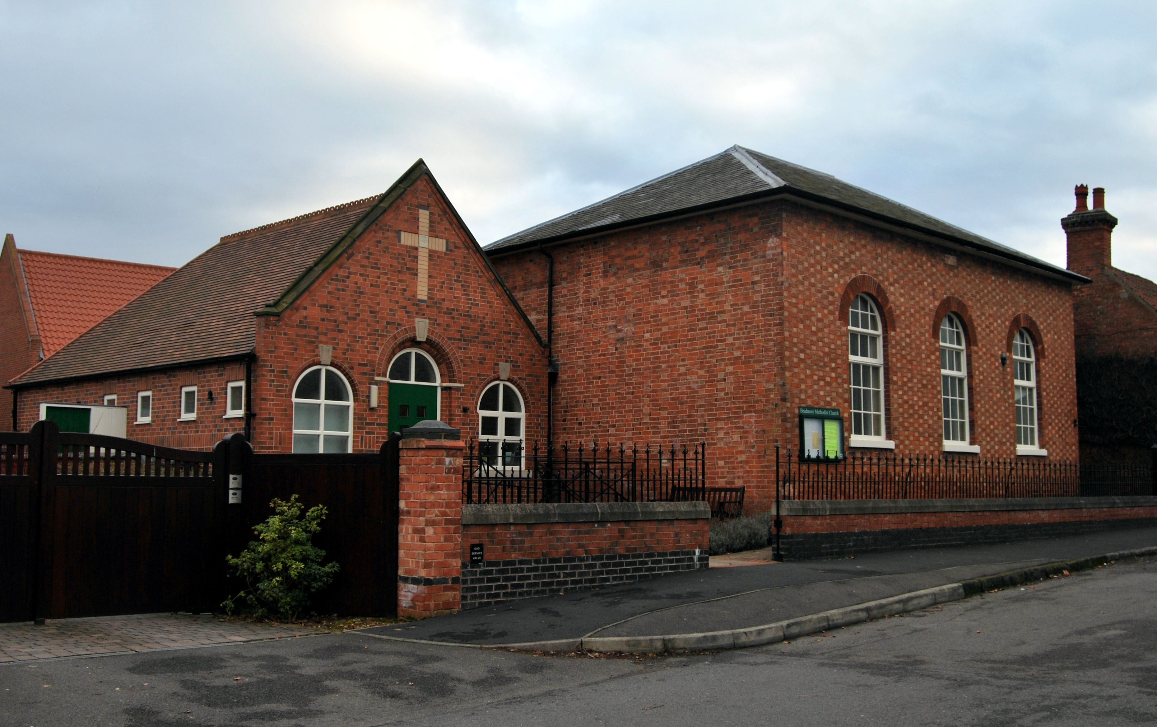
Bradmore, Nottinghamshire

Bradmore is a village and civil parish in the Rushcliffe district of Nottinghamshire with a population in 2001 of 320 rising slightly to 328 at the 2011...

Rushcliffe (UK Parliament constituency)

Rushcliffe is a constituency in Nottinghamshire represented in the House of Commons of the UK Parliament from 2019 by Ruth Edwards, a Conservative.From...

South Wolds Academy

The South Wolds Academy and Sixth Form (formerly known as South Wolds Community School, and before that, South Wolds Comprehensive) is a secondary school...

Nearby Amenities

Located within 500m of 52.882368,-1.1074997
Power: tower
Source: OS OpenData VectoMap District
Lat/Long: 52.8829385/-1.1098953
Power: tower
Source: OS OpenData VectoMap District
Lat/Long: 52.8834747/-1.1064519
Power: tower
Source: OS OpenData VectoMap District
Lat/Long: 52.8842953/-1.1011406
Blackcliffe Hill
Place: locality
Source: OS OpenData StreetView
Source Name: OS OpenData StreetView
Lat/Long: 52.8816024/-1.1055226
The data included in this document is from www.openstreetmap.org. The data is made available under ODbL.

Have you been to Blackcliffe Hill?

Leave your review of Blackcliffe Hill below (or comments, questions and feedback).