Barrow Hill

Hill, Mountain in Oxfordshire Cherwell

England

Barrow Hill

View through Bridge 537 The view through the partially infilled GCR Bridge 537 to Tibbets Farm beyond.  Works for the new HS2 railway line cross the road north (right) of this bridge.
View through Bridge 537 Credit: Bob Walters

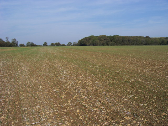
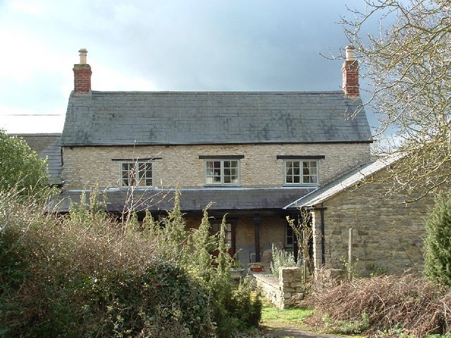
Barrow Hill is a prominent hill located in the county of Oxfordshire, England. Rising to an elevation of approximately 260 meters (850 feet), it is situated in the picturesque Chiltern Hills area. The hill is characterized by its rounded shape and lush green vegetation, offering stunning panoramic views of the surrounding countryside.

Barrow Hill holds historical significance, with evidence of human activity dating back to the Neolithic period. Archaeological excavations have revealed the presence of burial mounds and ancient artifacts, suggesting that the hill was once a sacred site or place of ritual significance.

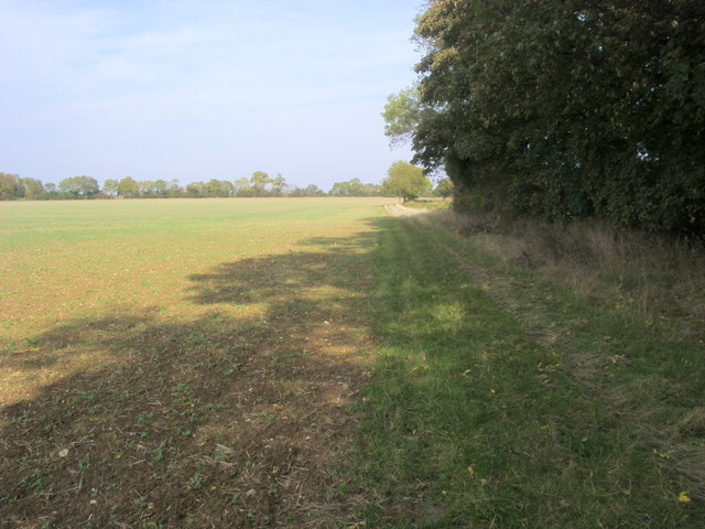
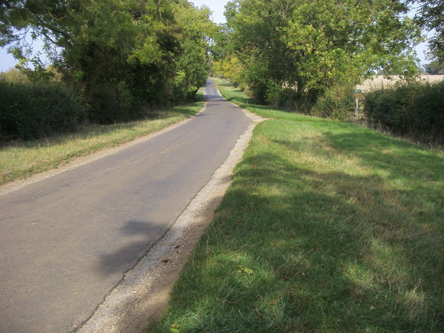
Today, Barrow Hill attracts visitors and locals alike, who come to appreciate its natural beauty and explore the surrounding area. The hill is a popular spot for outdoor enthusiasts, offering opportunities for hiking, walking, and nature photography. Its well-maintained footpaths and trails make it easily accessible for all levels of fitness.

Flourishing flora and fauna can be found on Barrow Hill, with a variety of plant species and woodland creatures inhabiting the area. The hill's diverse ecosystem provides a sanctuary for birds, butterflies, and other wildlife, making it a haven for nature lovers.

Barrow Hill is also a favored destination for those interested in history and archaeology, as it offers a unique opportunity to witness the ancient past of Oxfordshire. The hill provides a tangible connection to the region's rich cultural heritage and acts as a window into the lives of our ancestors.

In conclusion, Barrow Hill in Oxfordshire is a captivating natural landmark with a rich historical background. Its scenic beauty, recreational activities, and historical significance make it a must-visit destination for both locals and tourists.

If you have any feedback on the listing, please let us know in the comments section below.
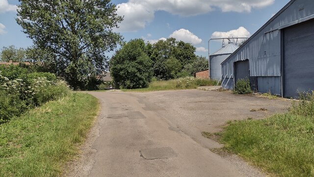
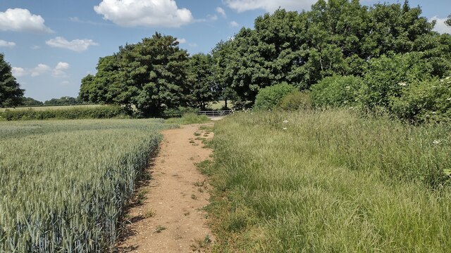
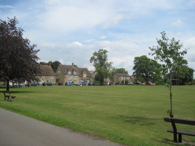
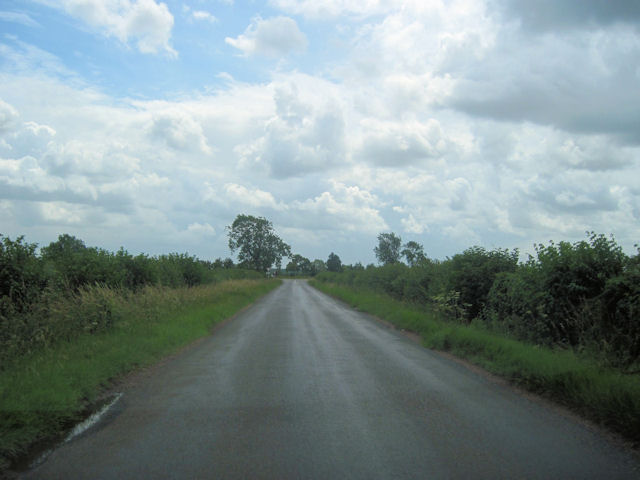
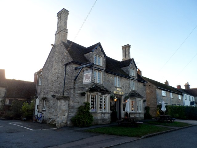
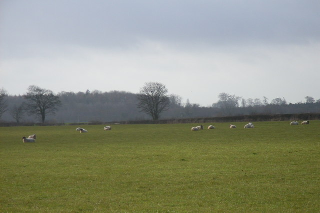
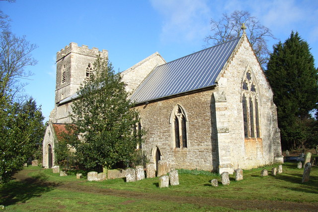
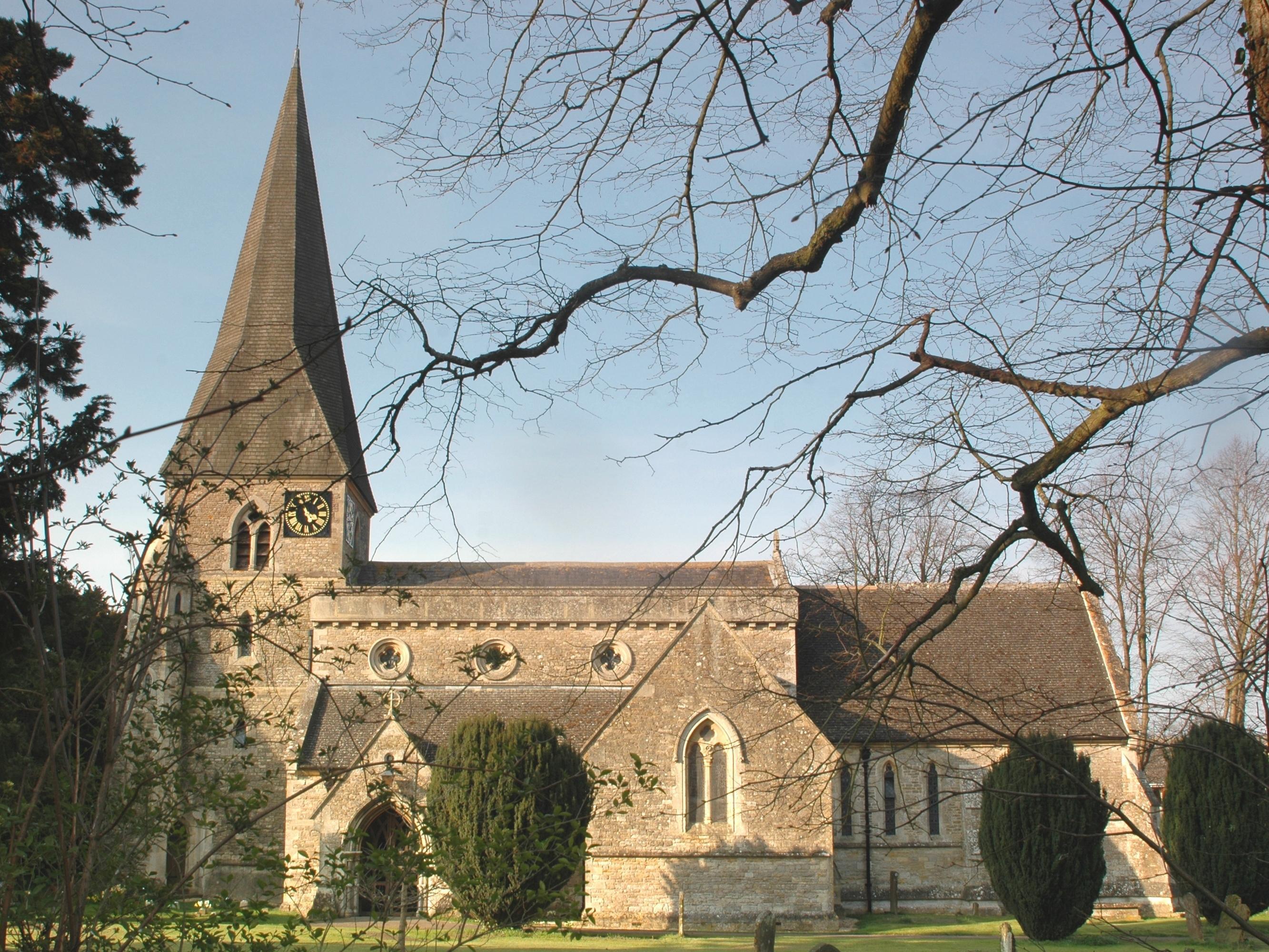
Barrow Hill Images

Images are sourced within 2km of 51.997973/-1.1277089 or Grid Reference SP5933. Thanks to Geograph Open Source API. All images are credited.

View through Bridge 537 The view through the partially infilled GCR Bridge 537 to Tibbets Farm beyond.  Works for the new HS2 railway line cross the road north (right) of this bridge.
View through Bridge 537
The view through the partially infilled GCR Bridge 537 to Tibbets Farm beyond. Works for the new HS2 railway line cross the road north (right) of this bridge.
Old railway bridge crossing Mossycorner Lane Old GCR Bridge No. 536 crosses the Mossycorner Lane bridleway on the skew.  Many GCR bridges were built in this manner so that the road or track could remain straight as the line crossed above it.  This was much more expensive than a bridge at right angles to the railway, so it's surprising that even on small tracks like this they built skewed bridges.
Old railway bridge crossing Mossycorner Lane
Old GCR Bridge No. 536 crosses the Mossycorner Lane bridleway on the skew. Many GCR bridges were built in this manner so that the road or track could remain straight as the line crossed above it. This was much more expensive than a bridge at right angles to the railway, so it's surprising that even on small tracks like this they built skewed bridges.
Lane to Cottisford Lane to Cottisford passing Coldharbour Farm
Lane to Cottisford
Lane to Cottisford passing Coldharbour Farm
Path nearing  Featherbed Lane Path from Park Thorns nearing  Featherbed Lane
Path nearing Featherbed Lane
Path from Park Thorns nearing Featherbed Lane
Evenley Village centre green
Approaching A421 from Evenley
Seven Shires Way Seven Shires Way from Juniper Hill cuts across the field heading up to the copse near The Hulls
Seven Shires Way
Seven Shires Way from Juniper Hill cuts across the field heading up to the copse near The Hulls
Seven Shires Way Seven Shires Way footpath by the copse near The Hulls
Seven Shires Way
Seven Shires Way footpath by the copse near The Hulls
Seven Shires Way Seven Shires Way following the road heading to Monk's House Barn
Seven Shires Way
Seven Shires Way following the road heading to Monk's House Barn
The private road by Monk's House The private road (former A421) now a bridleway by Monk's House
The private road by Monk's House
The private road (former A421) now a bridleway by Monk's House
A421 entering Northamptonshire
Junction for Cottisford from A421
Seven Shires Way footpath crossing A421 The footpath signs on the right verge
Seven Shires Way footpath crossing A421
The footpath signs on the right verge
Entrance to Ridgeway Farm from A421
War Memorial and green at Evenley
The Red Lion pub, Evenley Built in C18. See <span class="nowrap"><a title="http://www.britishlistedbuildings.co.uk/en-233986-the-red-lion-public-house-evenley-northa" rel="nofollow ugc noopener" href="http://www.britishlistedbuildings.co.uk/en-233986-the-red-lion-public-house-evenley-northa">Link</a><img style="margin-left:2px;" alt="External link" title="External link - shift click to open in new window" src="https://s1.geograph.org.uk/img/external.png" width="10" height="10"/></span> for entry in British Listed Buildings
The Red Lion pub, Evenley
Built in C18. See LinkExternal link for entry in British Listed Buildings
Evenley
Evenley
Sheep near Cottisford Looking southeast from the northwest of the grid-square.
Sheep near Cottisford
Looking southeast from the northwest of the grid-square.
Show me another place!

Barrow Hill is located at Grid Ref: SP5933 (Lat: 51.997973, Lng: -1.1277089)

Administrative County: Oxfordshire

District: Cherwell

Police Authority: Thames Valley

What 3 Words

///love.mountains.skills. Near Brackley, Northamptonshire

Nearby Locations

Barrow Hill

Related Wikis

Beaumont Castle

Beaumont Castle was a medieval castle in Mixbury, Oxfordshire, England, located at grid reference SP610140. == History == Beaumont Castle was a possible...

Mixbury

Mixbury is a village and civil parish in Oxfordshire, about 2.5 miles (4 km) southeast of Brackley in Northamptonshire. == Manor == The toponym is derived...

Evenley

Evenley is a village and civil parish just over 1 mile (1.6 km) south of Brackley in West Northamptonshire, England. The 2011 Census recorded the parish...

Cottisford

Cottisford is a village and civil parish in Oxfordshire, about 3.5 miles (5.6 km) south of Brackley in neighbouring Northamptonshire. The parish's northern...

Juniper Hill

Juniper Hill is a hamlet in the civil parish of Cottisford in Oxfordshire, England, 2 miles (3.2 km) south of Brackley in neighbouring Northamptonshire...

Brawn GP

Brawn GP was a Formula One constructor which competed in the 2009 Formula One World Championship, with drivers Jenson Button and Rubens Barrichello. The...

Fulwell & Westbury railway station

Fulwell & Westbury was a railway station in Buckinghamshire that served the village of Westbury and the hamlet of Fulwell in neighbouring Oxfordshire,...

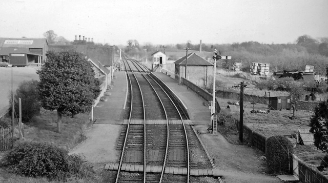
Brackley railway station

Brackley Town was a railway station which served the Northamptonshire town of Brackley in England. It opened in 1850 as part of the Buckinghamshire Railway...

Nearby Amenities

Located within 500m of 51.997973,-1.1277089
Power: pole
Source: Bing
Lat/Long: 51.9944829/-1.1249458
Power: pole
Source: Bing
Lat/Long: 51.9948068/-1.1276924
Power: pole
Source: Bing
Lat/Long: 51.9966629/-1.133512
Power: pole
Source: Bing
Lat/Long: 51.9963426/-1.1325839
Power: pole
Source: Bing
Lat/Long: 51.9943278/-1.1235779
Power: pole
Source: Bing
Lat/Long: 51.9959659/-1.1313394
Power: pole
Source: Bing
Lat/Long: 51.994648/-1.1263244
Power: pole
Source: Bing
Lat/Long: 51.9951699/-1.1288833
Power: pole
Source: Bing
Lat/Long: 51.9955795/-1.130101
Crossing
Lat/Long: 51.998227/-1.1205418
The data included in this document is from www.openstreetmap.org. The data is made available under ODbL.

Have you been to Barrow Hill?

Leave your review of Barrow Hill below (or comments, questions and feedback).