Hanger Hill
Hill, Mountain in Nottinghamshire Newark and Sherwood
England
Hanger Hill
Hanger Hill is a prominent hill located in Nottinghamshire, England. Situated near the village of Hanger, the hill stands at an elevation of approximately 165 meters (541 feet) above sea level. It forms part of the scenic landscape of Nottinghamshire, known for its rolling hills and picturesque countryside.
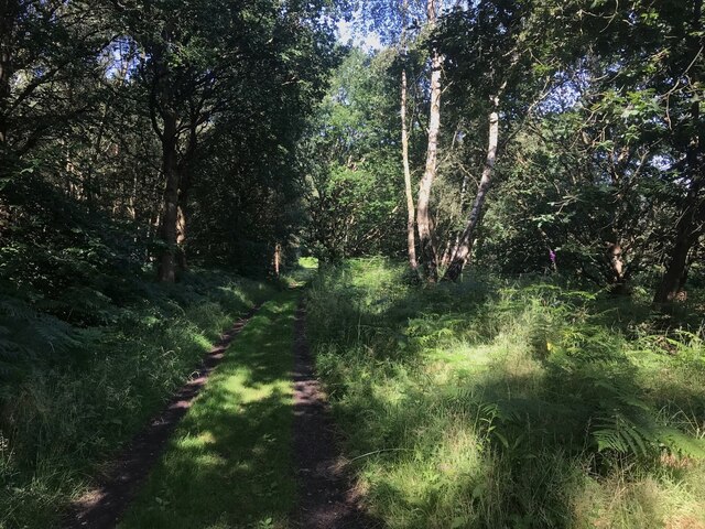
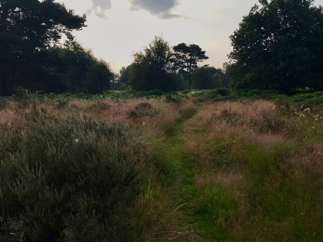
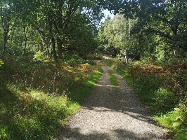
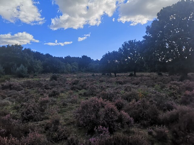
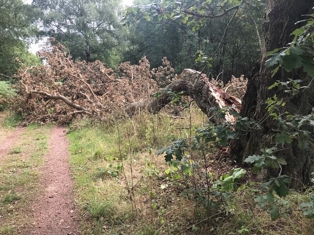
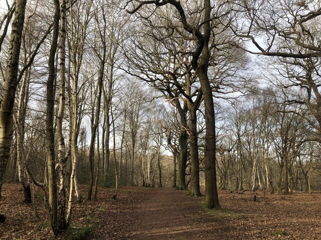
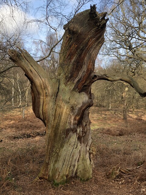
Hanger Hill is characterized by its steep slopes and dense vegetation, consisting mainly of trees such as oak, beech, and ash. The hill provides stunning panoramic views of the surrounding area, offering visitors a chance to admire the natural beauty of Nottinghamshire from above.
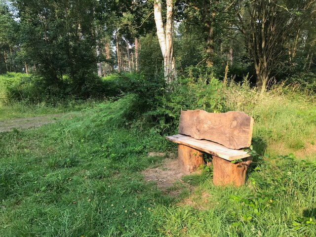
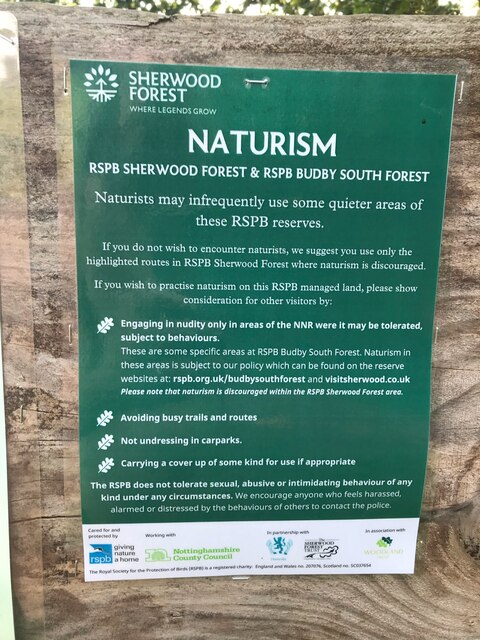
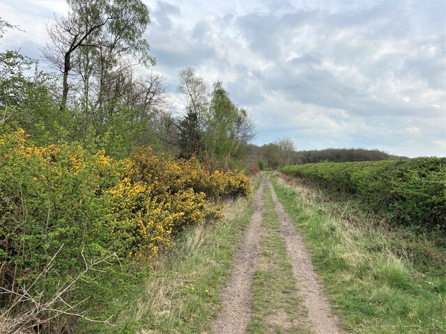
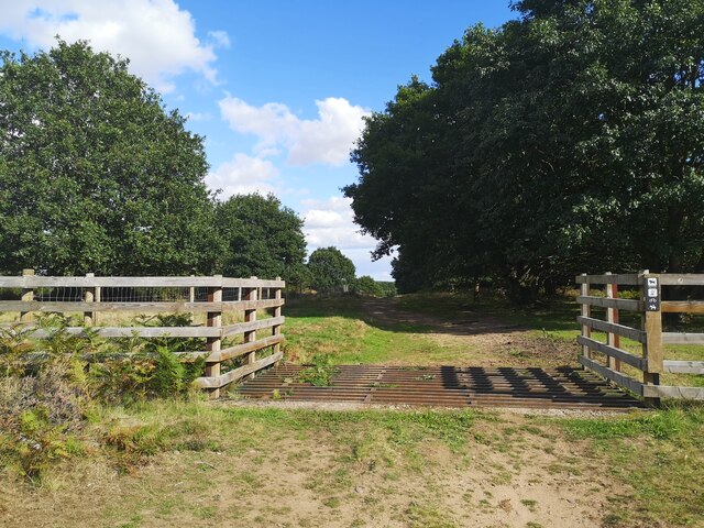
The hill is a popular destination for outdoor enthusiasts and nature lovers. It offers various walking trails and hiking opportunities, allowing visitors to explore its woodlands and enjoy the peaceful ambiance of the countryside. Hanger Hill also attracts birdwatchers, as it is home to a diverse range of bird species, including woodpeckers, owls, and songbirds.
In addition to its natural attractions, Hanger Hill has historical significance. It is rumored to have been a site of ancient settlements, with evidence of human activity dating back thousands of years. Archaeological finds in the area have included pottery fragments and tools, shedding light on the region's history.
Overall, Hanger Hill is a beautiful and captivating destination in Nottinghamshire, offering a combination of natural splendor and historical intrigue. Whether one seeks a peaceful hike, an opportunity to observe wildlife, or a chance to connect with the past, Hanger Hill is a fascinating location to explore.
If you have any feedback on the listing, please let us know in the comments section below.
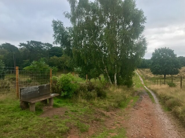
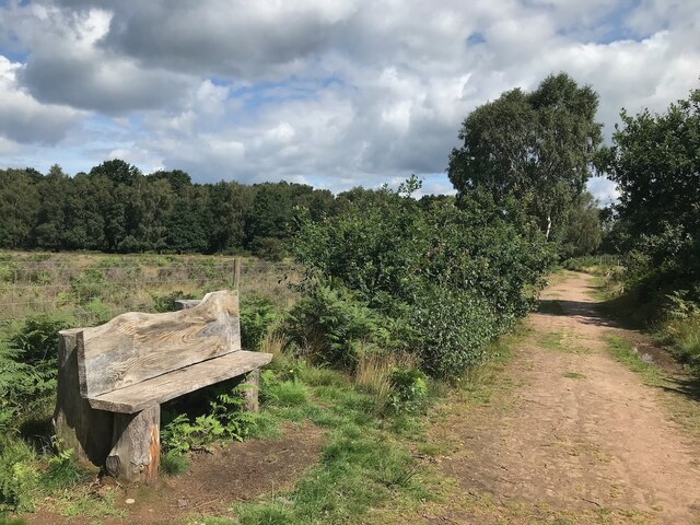
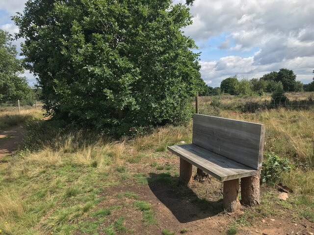
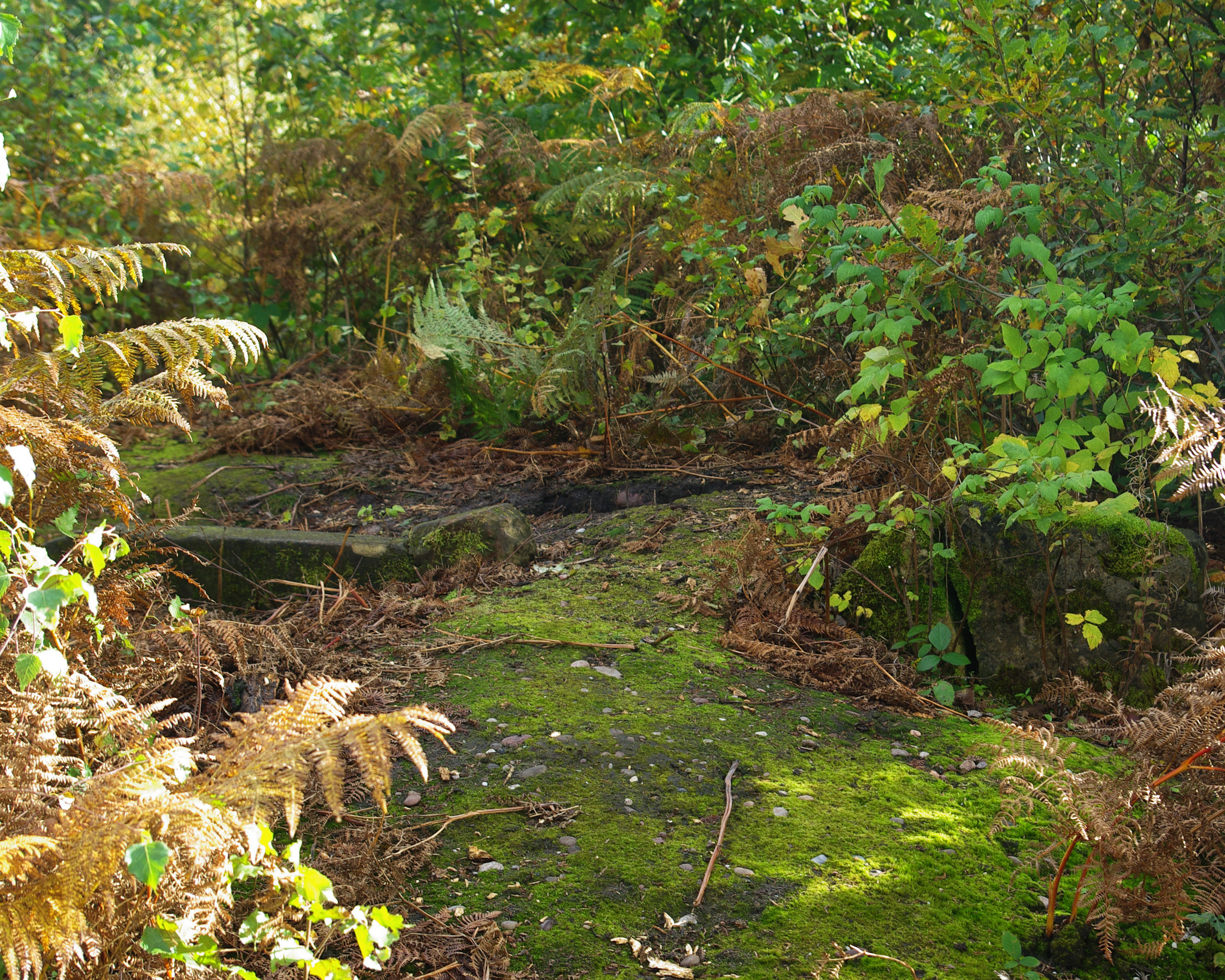
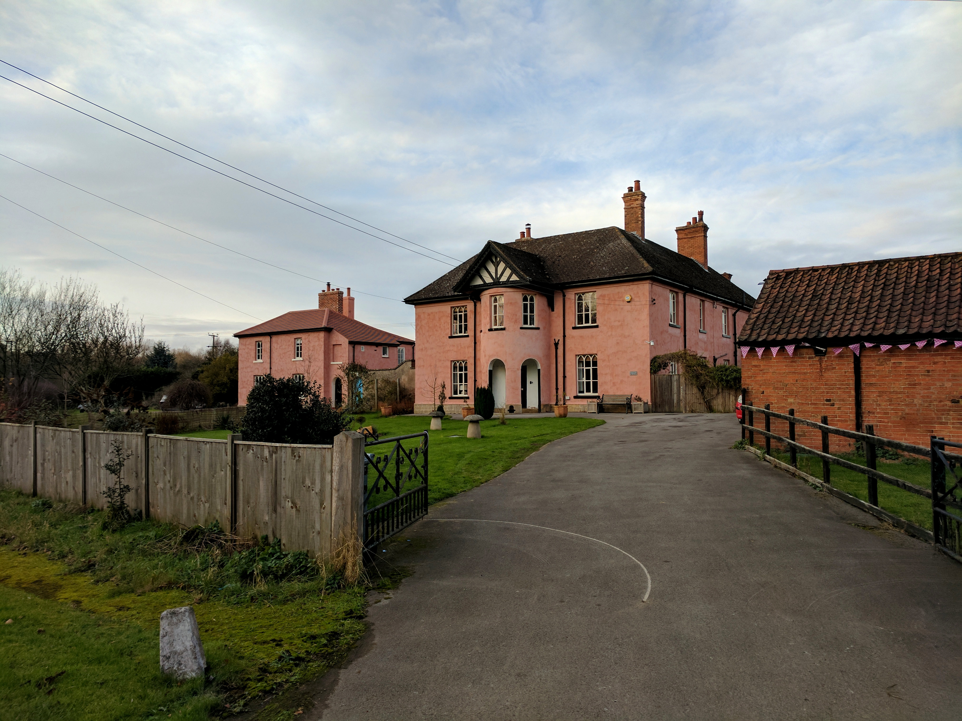
Hanger Hill Images
Images are sourced within 2km of 53.208727/-1.1037591 or Grid Reference SK5968. Thanks to Geograph Open Source API. All images are credited.


Hanger Hill is located at Grid Ref: SK5968 (Lat: 53.208727, Lng: -1.1037591)
Administrative County: Nottinghamshire
District: Newark and Sherwood
Police Authority: Nottinghamshire
What 3 Words
///handyman.eats.caravan. Near Edwinstowe, Nottinghamshire
Nearby Locations
Related Wikis
Thynghowe
Thynghowe was an important Viking Era open-air assembly place or thing, located at Sherwood Forest, in Nottinghamshire, England. It was lost to history...

Meden Vale
Meden Vale is a small former coal mining village originally known as Welbeck Colliery Village prior to renaming in the late 1960s.It is situated close...

Sherwood Forest
Sherwood Forest is a royal forest in Nottinghamshire, England. Its peculiar fame arises from its historic association with the legend of Robin Hood. The...

Major Oak
The Major Oak is a large English oak (Quercus robur) near the village of Edwinstowe in the midst of Sherwood Forest, Nottinghamshire, England. According...

The Rufford School
Rufford Comprehensive School (later just The Rufford School) was a secondary school in the village of Edwinstowe in Nottinghamshire, England which opened...
Budby
Budby is a hamlet and former civil parish, now in the parish of Perlethorpe cum Budby, in the Newark and Sherwood district, in the county of Nottinghamshire...
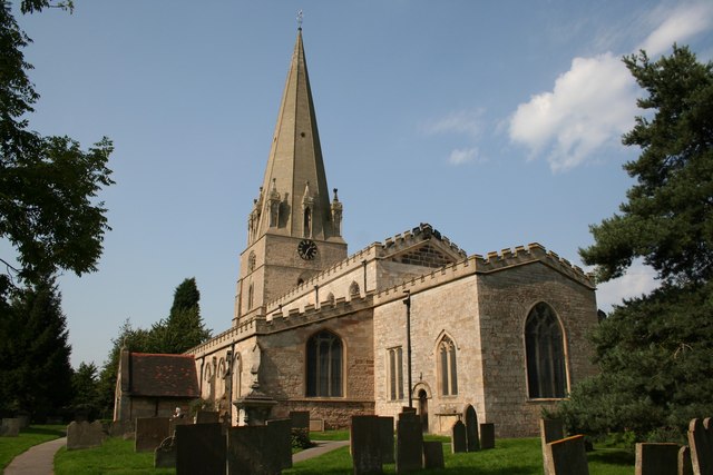
St Mary's Church, Edwinstowe
St Mary's Church is a Grade I listed parish church in the Church of England in Edwinstowe. The Boundary Wall, Gate, Steps And Overthrow At Church Of St...
Meden School
Meden School is a mixed secondary school and sixth form in Market Warsop, Nottinghamshire, England, with 860 pupils at the Ofsted report of 2014, of which...
Nearby Amenities
Located within 500m of 53.208727,-1.1037591Have you been to Hanger Hill?
Leave your review of Hanger Hill below (or comments, questions and feedback).