Mapperley
Hill, Mountain in Nottinghamshire Gedling
England
Mapperley
Mapperley is a small, picturesque village located in Nottinghamshire, England. Situated on a hill, it offers breathtaking views of the surrounding countryside, making it a popular destination for nature enthusiasts and hikers.
The village itself is characterized by its charming cottages, quaint streets, and well-maintained gardens. It exudes a peaceful and welcoming atmosphere, attracting both locals and visitors alike. Despite its small size, Mapperley is home to a close-knit community that takes great pride in preserving the village's rich history and heritage.
One of the main attractions in Mapperley is its stunning hill. Standing at a modest elevation, it offers panoramic vistas of the lush green fields and rolling hills that stretch beyond the village. The hill is a favorite spot for outdoor activities such as picnics, leisurely walks, and even kite-flying.
In addition to its natural beauty, Mapperley boasts a range of amenities for its residents. These include a village hall, a church, and a small local shop. The village also benefits from its proximity to larger towns, such as Nottingham, which provide access to a wider range of services and facilities.
Overall, Mapperley is a hidden gem in Nottinghamshire, offering a peaceful retreat from the hustle and bustle of city life. With its idyllic setting, friendly community, and stunning hill, it is a destination that should not be missed by those seeking a tranquil escape in the heart of the English countryside.
If you have any feedback on the listing, please let us know in the comments section below.
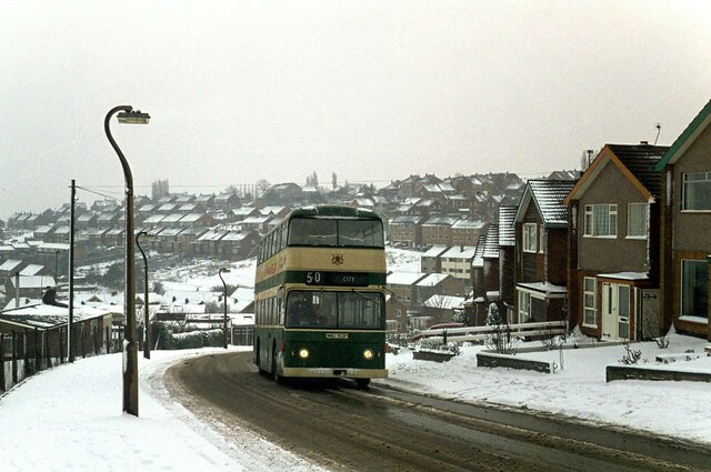
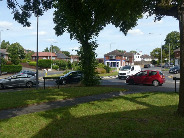
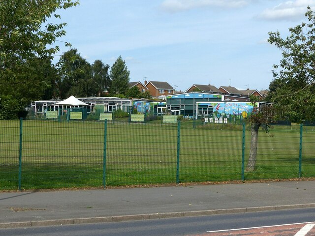
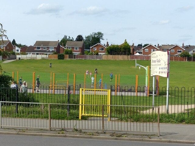
Mapperley Images
Images are sourced within 2km of 52.981648/-1.1255632 or Grid Reference SK5843. Thanks to Geograph Open Source API. All images are credited.


Mapperley is located at Grid Ref: SK5843 (Lat: 52.981648, Lng: -1.1255632)
Administrative County: Nottinghamshire
District: Gedling
Police Authority: Nottinghamshire
What 3 Words
///degree.hiding.stage. Near Arnold, Nottinghamshire
Related Wikis
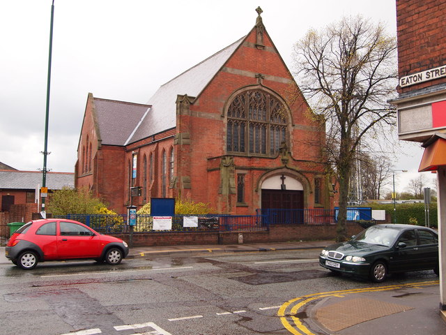
Mapperley Methodist Church
Mapperley Methodist Church is an active Methodist church on Woodborough Road in Mapperley, Nottingham. == History == The building of the church started...
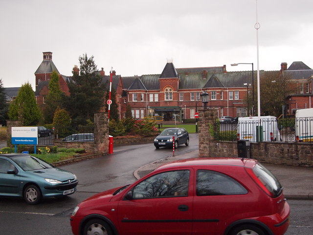
Mapperley Hospital
Mapperley Hospital was a mental health facility on Porchester Road in Nottingham, England. == History == The hospital, which was designed by George Thomas...

Mapperley
Mapperley is a residential and commercial area of north-eastern Nottingham, England. The area is bounded by Sherwood to the north-west, Thorneywood to...

Woodthorpe Grange Park
Woodthorpe Grange Park is a Green Flag–awarded public park located in Sherwood, Nottingham, Nottingham, on the northern edge of the city. One of the largest...
Sherwood railway station
Sherwood railway station was a station on the former Great Northern Railway Nottingham Suburban railway in Nottingham. The station lies within Woodthorpe...

Battle of Mapperley Hills
The Battle of Mapperley Hills was an incident on Tuesday 23 August 1842, which marked the culmination of several days of Chartist disturbances in the...
St Ann's Well railway station
St Ann's Well railway station was a station serving the suburb of St Ann's in Nottingham, Nottinghamshire. It was located on the Great Northern Railway...

St Jude's Church, Mapperley
St Jude's Church is a parish church of the Church of England in Mapperley, Nottinghamshire. == History == The land for St. Jude's Church was given by the...
Nearby Amenities
Located within 500m of 52.981648,-1.1255632Have you been to Mapperley?
Leave your review of Mapperley below (or comments, questions and feedback).