Jackson's Hill

Hill, Mountain in Nottinghamshire Gedling

England

Jackson's Hill

Haywood Oaks Farm, Blidworth
Haywood Oaks Farm, Blidworth Credit: David Howard

Jackson's Hill is a prominent geographical feature located in the county of Nottinghamshire, England. Situated near the town of Mansfield, it is a notable hill that offers picturesque views and serves as a popular destination for outdoor enthusiasts and nature lovers.

Rising to an elevation of approximately 250 meters (820 feet) above sea level, Jackson's Hill stands as one of the highest points in the region. Its commanding position provides visitors with sweeping panoramas of the surrounding countryside, including the nearby Sherwood Forest and the Trent Valley.

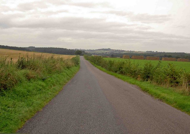
The hill is characterized by its gently sloping sides, covered in a mix of grassland and scattered trees, making it an ideal spot for walking, hiking, and picnicking. The well-maintained trails that crisscross the area cater to all levels of fitness, offering both leisurely strolls and more challenging hikes for those seeking a workout.

Jackson's Hill also holds historical significance. It is believed to have been named after a local landowner, and there are remnants of ancient settlements and burial mounds scattered across its slopes, dating back to prehistoric times. These archaeological sites add an extra layer of intrigue to the area, attracting those with an interest in history and archaeology.

The hill is easily accessible, with ample parking available nearby. It is a popular destination for locals and visitors alike, providing a serene and tranquil escape from the bustle of urban life. Whether one seeks breathtaking views, a connection with nature, or a glimpse into the past, Jackson's Hill offers a truly enriching experience for all who venture to its summit.

If you have any feedback on the listing, please let us know in the comments section below.

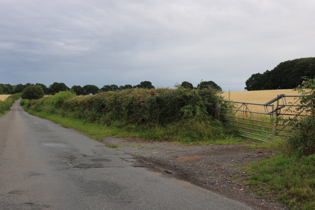
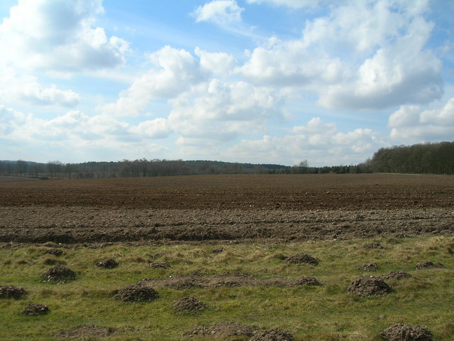
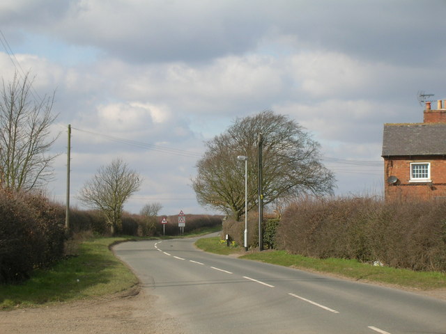
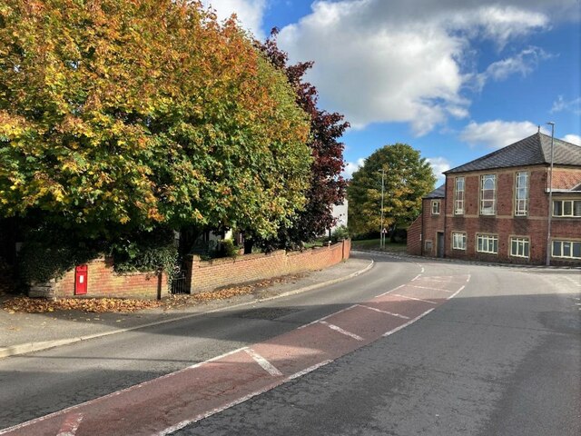
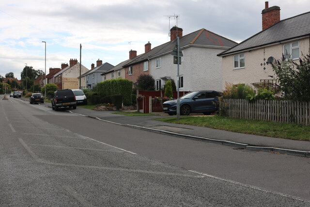
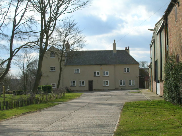
Jackson's Hill Images

Images are sourced within 2km of 53.085813/-1.1262908 or Grid Reference SK5854. Thanks to Geograph Open Source API. All images are credited.

Haywood Oaks Farm, Blidworth
Haywood Oaks Lane, Blidworth By Haywood Oaks Farm
Haywood Oaks Lane, Blidworth
By Haywood Oaks Farm
Blidworth Lane, Blidworth Bottoms
Woodland track, Haywood Oaks
Blidworth Lane
Blidworth Lane
Farmland off Blidworth Lane
Haywood Oaks Farm
Haywood Oaks Farm
Haywood Oaks Lane
Haywood Oaks Lane
Main Street in Blidworth The building on the right of picture is a Methodist Church.
Main Street in Blidworth
The building on the right of picture is a Methodist Church.
Druid Stone Natural rock formation consisting of conglomerate material known as puddingstone. The hollowed-out area is due to human activity and may have been an attempt at a Solstice sunrise alignment. The site is well described on the Megalithic Portal website and a cluster of similarly-formed rocks can be found in a wooded area to the north west at SK574568, just off the Robin Hood Way.
Druid Stone
Natural rock formation consisting of conglomerate material known as puddingstone. The hollowed-out area is due to human activity and may have been an attempt at a Solstice sunrise alignment. The site is well described on the Megalithic Portal website and a cluster of similarly-formed rocks can be found in a wooded area to the north west at SK574568, just off the Robin Hood Way.
Ricket Lane near Blidworth Pictured here cutting through the south west corner of the grid square this narrow lane is surrounded for much of its length by tall, dense hedgerow.
Ricket Lane near Blidworth
Pictured here cutting through the south west corner of the grid square this narrow lane is surrounded for much of its length by tall, dense hedgerow.
Dale Lane, Blidworth At the end of Haywood Oaks Lane
Dale Lane, Blidworth
At the end of Haywood Oaks Lane
Dale Lane at the corner of Haywood Oaks Lane
Haywood Oaks Lane, Blidworth
Houses on Haywood Oaks Lane, Blidworth
Haywood Oaks Lane, Blidworth
Mansfield Road, Blidworth At the end of Dale Lane
Mansfield Road, Blidworth
At the end of Dale Lane
Mansfield Road, Blidworth
Show me another place!

Jackson's Hill is located at Grid Ref: SK5854 (Lat: 53.085813, Lng: -1.1262908)

Administrative County: Nottinghamshire

District: Gedling

Police Authority: Nottinghamshire

What 3 Words

///popular.unto.tacky. Near Blidworth, Nottinghamshire

Related Wikis

Blidworth Bottoms

Blidworth Bottoms is a hamlet in Nottinghamshire, England. It is located between Blidworth and Ravenshead. Population details are included in the civil...

Church of St Mary of the Purification, Blidworth

The Church of St Mary of the Purification is a parish church in the Church of England in Blidworth, Nottinghamshire, dating from the 15th century. It is...

Blidworth

Blidworth is a village and civil parish approximately five miles east of Mansfield, Nottinghamshire, England. The population of the civil parish at the...

Sherwood (UK Parliament constituency)

Sherwood is a constituency represented in the House of Commons of the UK Parliament since 2010 by Mark Spencer, a Conservative. The constituency takes...

Haywood Oaks

Haywood Oaks is a hamlet and former civil parish, 10 miles (16 km) from Nottingham, now in the parish of Blidworth, in the Newark and Sherwood district...

Blidworth Welfare F.C.

Blidworth Welfare Football Club is a football club based in Blidworth, near Mansfield, Nottinghamshire, England. They are currently members of the Central...

Skegby Rural District

Skegby was a rural district in Nottinghamshire, England from 1894 to 1935. It was created under the Local Government Act 1894 based on that part of the...

Papplewick Pumping Station

Papplewick Pumping Station, situated in open agricultural land approximately 3 miles (4.8 km) by road from the Nottinghamshire village of Papplewick, was...

Nearby Amenities

Located within 500m of 53.085813,-1.1262908
Parking
Description: Patch of gravel at side of road
Lat/Long: 53.0839575/-1.1226047
Parking
Description: Patch of gravel at side of road
Lat/Long: 53.0816811/-1.1241818
Parking
Description: Patch of gravel at side of road
Lat/Long: 53.083405/-1.1229614
Post Box
Post Box Type: wall
Ref: NG21 33
Royal Cypher: VR
Royal Cypher Wikidata: Q33102356
Lat/Long: 53.086798/-1.1207022
Power: pole
Lat/Long: 53.0875824/-1.1205764
Blidworth Bottoms
Place: hamlet
Wikidata: Q4926442
Wikipedia: en:Blidworth Bottoms
Lat/Long: 53.0861902/-1.1204853
Generator Method: photovoltaic
Generator Output Electricity: yes
Generator Source: solar
Generator Type: solar_photovoltaic_panel
Location: roof
Power: generator
Lat/Long: 53.0870017/-1.1243404
Generator Method: photovoltaic
Generator Output Electricity: yes
Generator Source: solar
Generator Type: solar_photovoltaic_panel
Location: roof
Power: generator
Lat/Long: 53.0861419/-1.1199135
Generator Method: photovoltaic
Generator Output Electricity: yes
Generator Source: solar
Generator Type: solar_photovoltaic_panel
Location: roof
Power: generator
Lat/Long: 53.0859965/-1.1205686
Generator Method: photovoltaic
Generator Output Electricity: yes
Generator Source: solar
Generator Type: solar_photovoltaic_panel
Location: roof
Power: generator
Lat/Long: 53.0859196/-1.1203205
Generator Method: photovoltaic
Generator Output Electricity: yes
Generator Source: solar
Generator Type: solar_photovoltaic_panel
Location: roof
Power: generator
Lat/Long: 53.0858036/-1.1205277
Power: pole
Lat/Long: 53.0889791/-1.125133
Power: pole
Lat/Long: 53.0890242/-1.1272144
Power: pole
Lat/Long: 53.0890951/-1.1292476
Power: pole
Lat/Long: 53.088984/-1.1309561
Power: pole
Lat/Long: 53.0888921/-1.1220914
Power: pole
Lat/Long: 53.0889437/-1.1236846
The data included in this document is from www.openstreetmap.org. The data is made available under ODbL.

Have you been to Jackson's Hill?

Leave your review of Jackson's Hill below (or comments, questions and feedback).