All Hallows Hill
Hill, Mountain in Yorkshire
England
All Hallows Hill
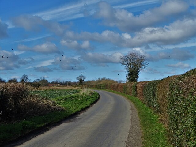
All Hallows Hill is an iconic landmark located in Yorkshire, England. Standing majestically at an impressive height of 300 meters, it is considered one of the tallest hills in the region. Nestled in the picturesque countryside, this prominent hill offers breathtaking panoramic views of the surrounding landscape.
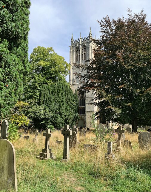
The hill is notable for its rich historical and cultural significance. It is believed to have been named after the All Hallows Church, which dates back to medieval times and is situated at the hill's base. The church, with its stunning architecture and historical artifacts, adds to the allure and charm of this natural wonder.
All Hallows Hill is a popular destination for nature enthusiasts and outdoor adventurers. The hill's diverse flora and fauna make it a haven for wildlife, with various species of birds, mammals, and insects calling it home. Additionally, the hill is adorned with vibrant wildflowers during the spring and summer months, creating a captivating sight for visitors.
Hiking trails and footpaths crisscross the hill, providing opportunities for leisurely walks and challenging hikes. The hill's steep slopes and rugged terrain pose a thrilling adventure for outdoor enthusiasts, making it an ideal destination for mountain biking and rock climbing.
Moreover, All Hallows Hill has become a beloved spot for picnics and family outings, with its ample green spaces and well-maintained picnic areas. Visitors can relax and enjoy the serene ambiance while immersing themselves in the natural beauty that surrounds them.
All Hallows Hill truly offers a remarkable experience for both nature lovers and history buffs alike, making it a must-visit destination for anyone exploring the stunning landscapes of Yorkshire.
If you have any feedback on the listing, please let us know in the comments section below.
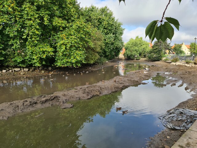
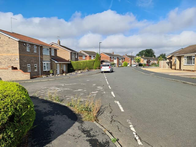
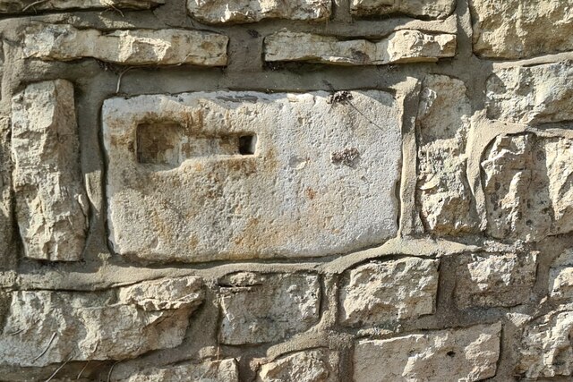
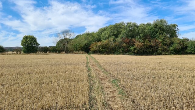
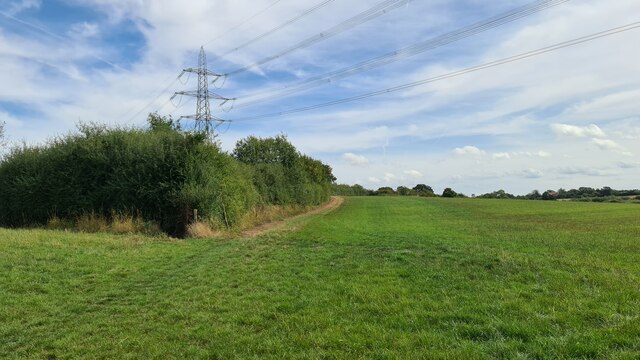
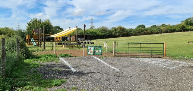
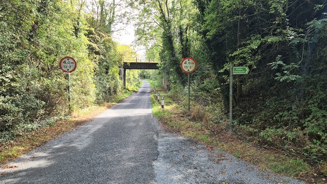
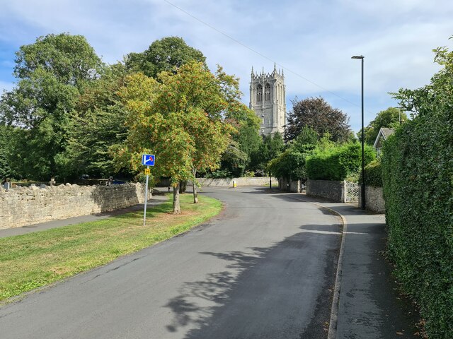
All Hallows Hill Images
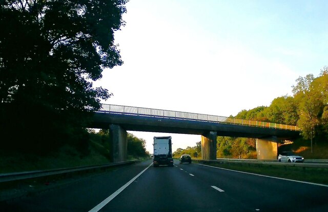
Images are sourced within 2km of 53.440006/-1.1245835 or Grid Reference SK5894. Thanks to Geograph Open Source API. All images are credited.


All Hallows Hill is located at Grid Ref: SK5894 (Lat: 53.440006, Lng: -1.1245835)
Division: West Riding
Unitary Authority: Doncaster
Police Authority: South Yorkshire
What 3 Words
///sometimes.witless.glitter. Near Tickhill, South Yorkshire
Nearby Locations
Related Wikis
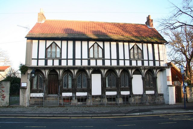
St Leonard's Hospital, Tickhill
St Leonard's Hospital is a grade II* listed timber-framed building in Tickhill, South Yorkshire, in England. It was originally constructed in the 15th...

Tickhill and Wadworth railway station
Tickhill and Wadworth railway station, originally simply known as Tickhill, was located where the road linking the town of Tickhill and the village of...
Tickhill & Wadworth (ward)
Tickhill & Wadworth—consisting of Braithwell, Micklebring, Stainton, Tickhill, Wadworth and Woodfield—is one of 21 electoral wards in the Metropolitan...
Tickhill
Tickhill is a market town and civil parish in the City of Doncaster, South Yorkshire, England, close to the border with Nottinghamshire. At the 2001 census...
Tickhill Friary
Tickhill Friary was an Augustinian friary in Tickhill, South Yorkshire, England. John Clarel, a canon of Southwell, founded it about 1260. It was dissolved...

Strafforth and Tickhill
Strafforth and Tickhill , originally known as Strafforth, was the southernmost wapentake in the West Riding of Yorkshire, England. The west of the district...
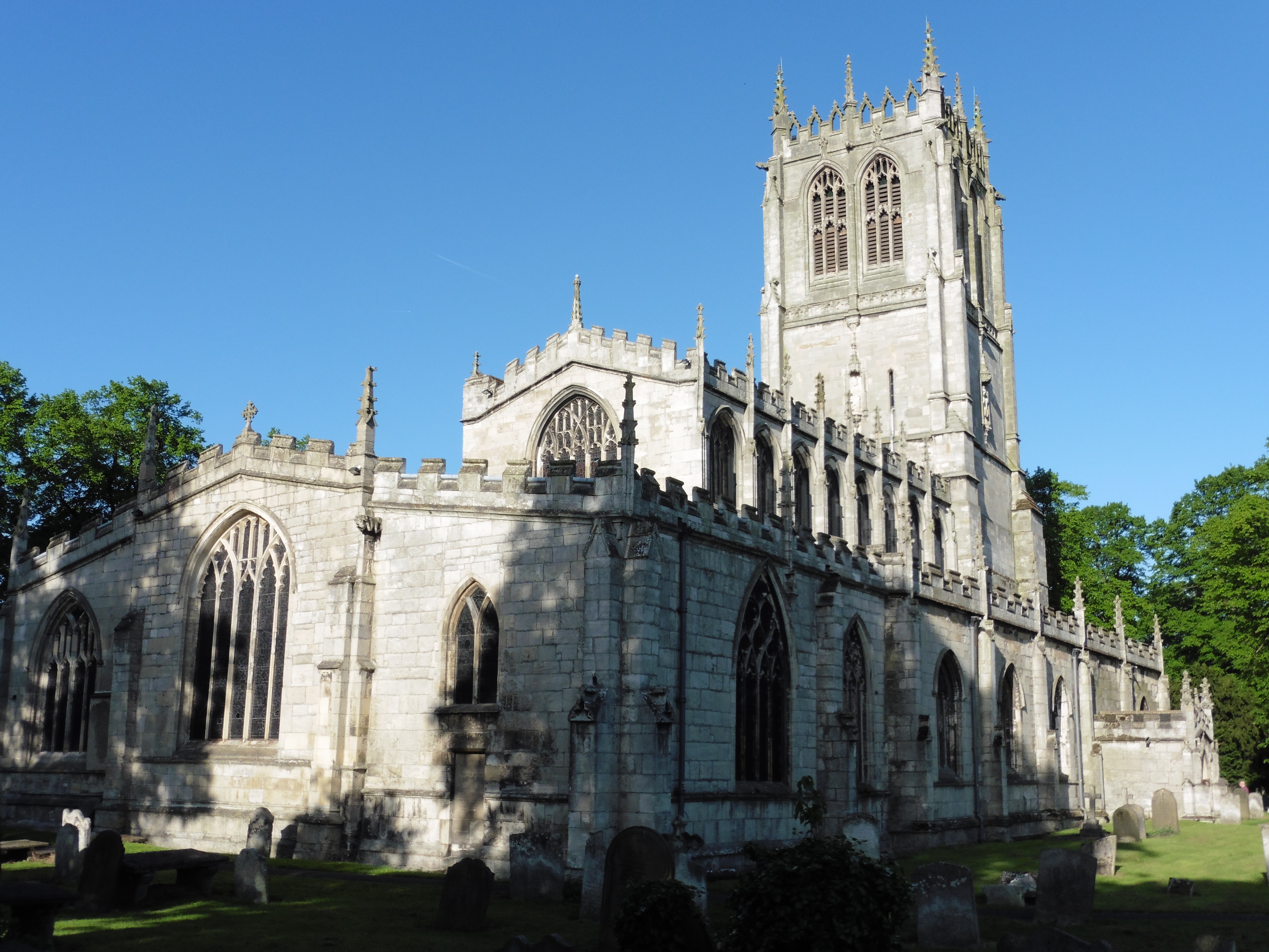
St Mary's Church, Tickhill
St Mary's Church is a Grade I listed Anglican church in Tickhill, South Yorkshire, England. Dating from the early 12th century and built with local Magnesian...
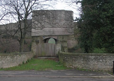
Tickhill Castle
Tickhill Castle was a castle in Tickhill, in South Yorkshire, England and a prominent stronghold during the reign of King John. == Early history == The...
Nearby Amenities
Located within 500m of 53.440006,-1.1245835Have you been to All Hallows Hill?
Leave your review of All Hallows Hill below (or comments, questions and feedback).