Brightwell Barrow
Hill, Mountain in Berkshire South Oxfordshire
England
Brightwell Barrow
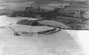
Brightwell Barrow is a small hill located in the county of Berkshire, England. Situated near the village of Brightwell-cum-Sotwell, it is part of the Chiltern Hills, a range of chalk hills that stretch across several counties in southern England. Although referred to as a hill, Brightwell Barrow is more accurately described as a gentle rise in the landscape, reaching an elevation of around 200 meters (656 feet) above sea level.
The hill is predominantly covered in grassland, with scattered patches of woodland and hedgerows. It offers panoramic views of the surrounding countryside, including the nearby River Thames and the Oxfordshire Plain to the west. The area is known for its natural beauty and is often frequented by hikers, walkers, and nature enthusiasts.
Brightwell Barrow is also of historical significance, as it is home to a Bronze Age burial mound known as a barrow. These ancient burial sites were constructed by early inhabitants of the area, and Brightwell Barrow is one of the few remaining examples in the region. The barrow is a protected monument and serves as a reminder of the area's rich past.
Overall, Brightwell Barrow is a peaceful and picturesque location offering both natural beauty and historical interest. It provides visitors with an opportunity to immerse themselves in the tranquil surroundings and appreciate the landscape's diverse features.
If you have any feedback on the listing, please let us know in the comments section below.
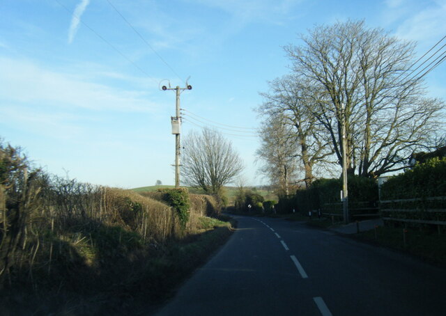
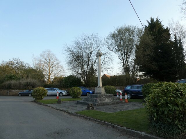
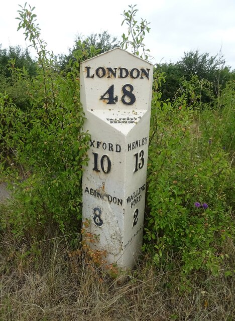
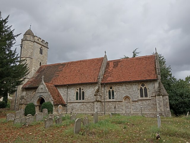
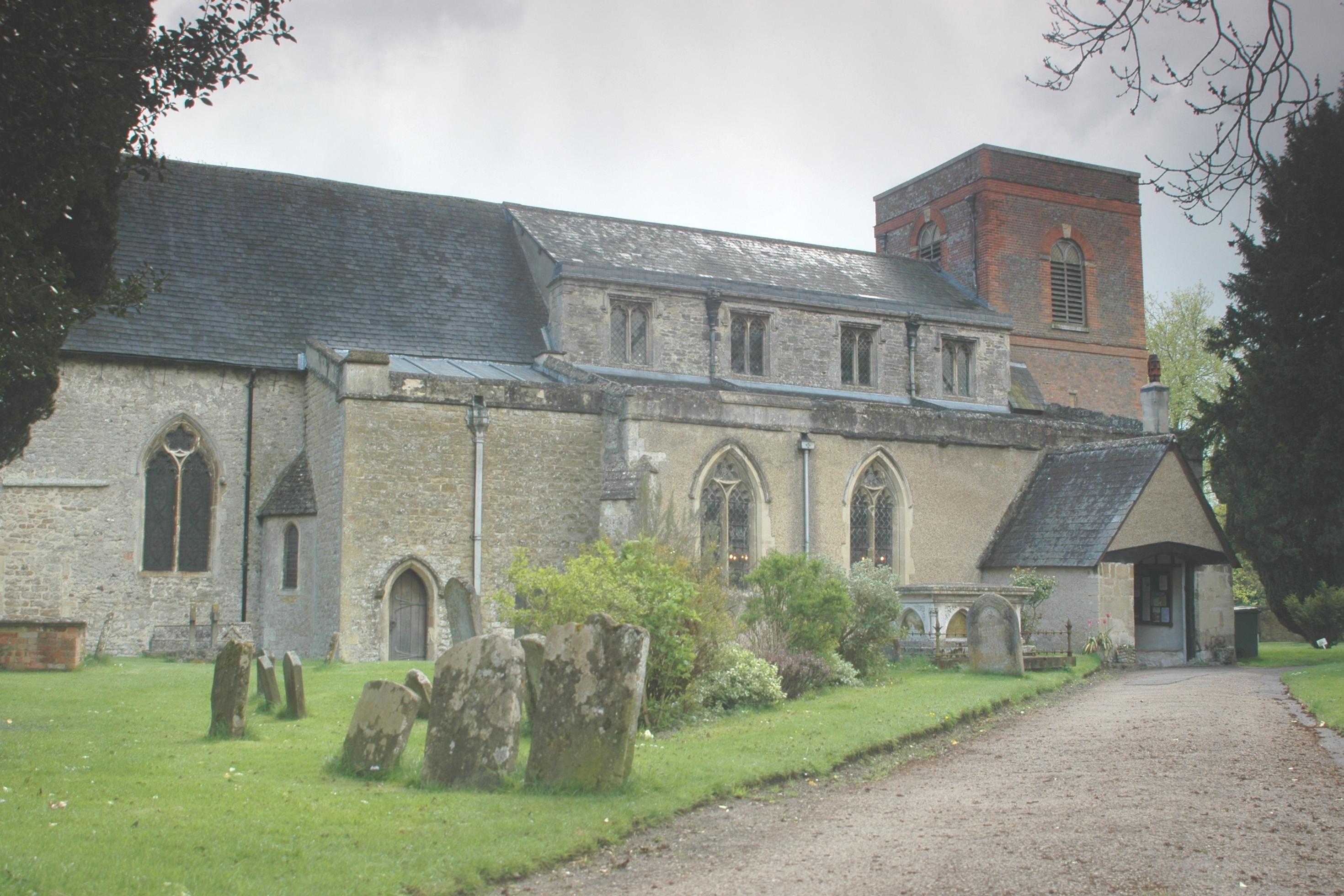
Brightwell Barrow Images
Images are sourced within 2km of 51.622935/-1.1692539 or Grid Reference SU5791. Thanks to Geograph Open Source API. All images are credited.


Brightwell Barrow is located at Grid Ref: SU5791 (Lat: 51.622935, Lng: -1.1692539)
Administrative County: Oxfordshire
District: South Oxfordshire
Police Authority: Thames Valley
What 3 Words
///consults.couple.noble. Near Benson, Oxfordshire
Nearby Locations
Related Wikis

Brightwell Barrow
Brightwell Barrow is a Bronze Age round barrow in the civil parish of Brightwell-cum-Sotwell in the English county of Oxfordshire (formerly Berkshire)...
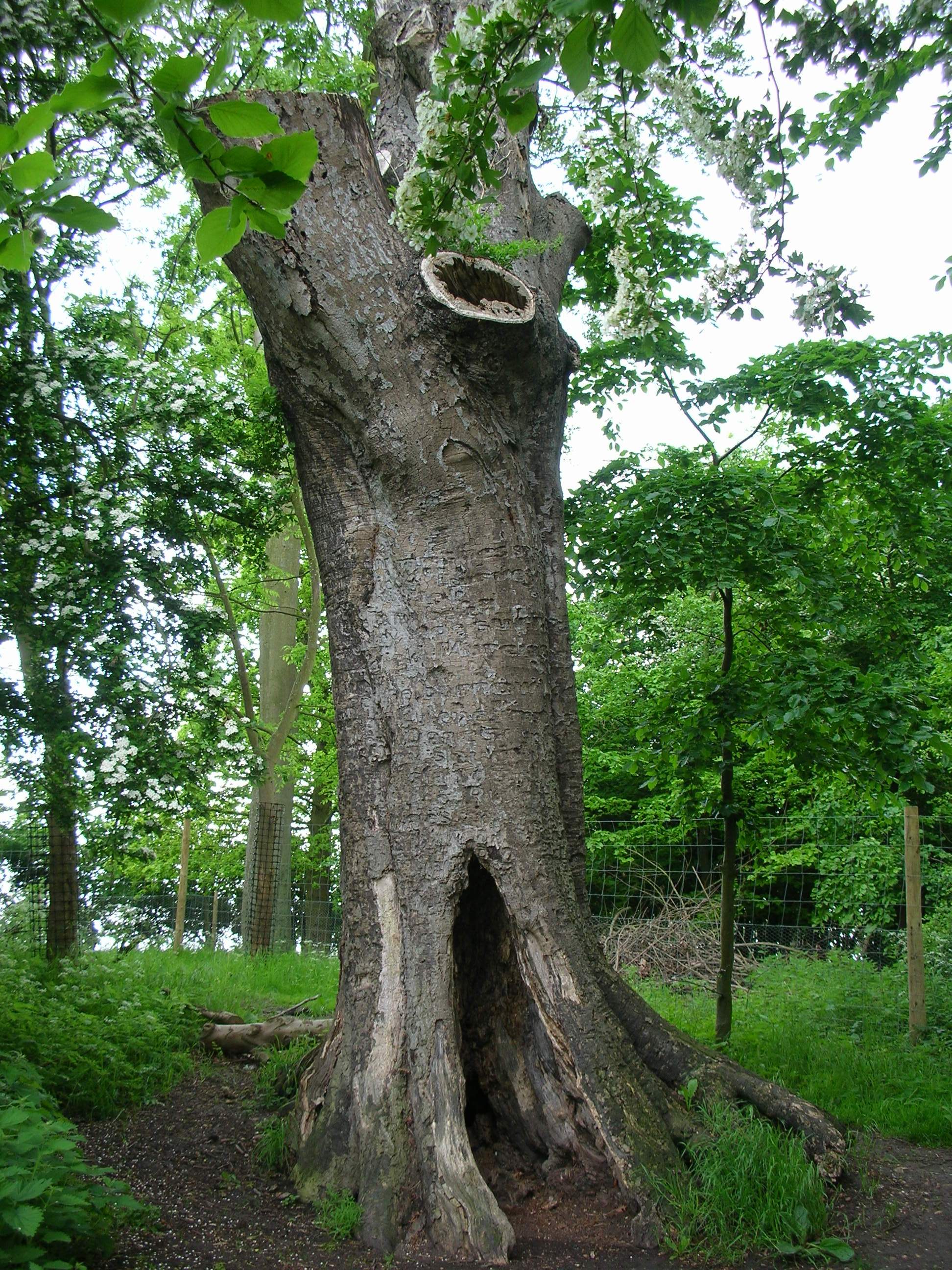
The Poem Tree
The Poem Tree was a beech tree with a poem carved into it by Joseph Tubb, located on Castle Hill at Wittenham Clumps in Oxfordshire, England. The tree...
Wittenham Clumps
Wittenham Clumps are a pair of wooded chalk hills in the Thames Valley, in the civil parish of Little Wittenham, in the historic county of Berkshire, although...

Little Wittenham SSSI
Little Wittenham SSSI is a 68.9-hectare (170-acre) biological Site of Special Scientific Interest north-east of Didcot in Oxfordshire. It is also a Special...

Brightwell Castle
Brightwell Castle was in the village of Brightwell-cum-Sotwell, between the towns of Didcot and Wallingford (grid reference SU578908), now in Oxfordshire...
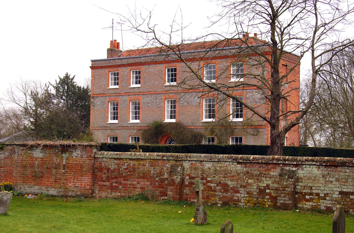
Brightwell Manor
Brightwell Manor is a country house in the village of Brightwell-cum-Sotwell, Oxfordshire, England. The back dates to around the mid-seventeenth century...
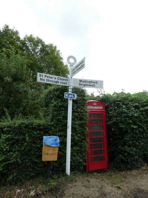
Brightwell-cum-Sotwell
Brightwell-cum-Sotwell is a twin-village and civil parish in the Upper Thames Valley in South Oxfordshire. It lies between Didcot to the west and the historic...
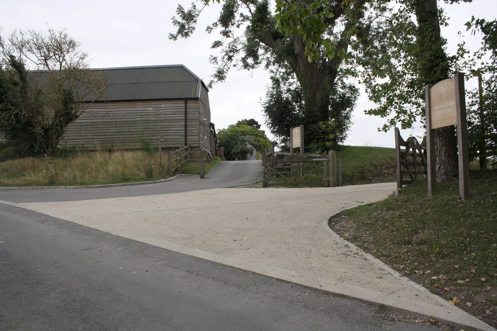
Earth Trust Centre
Earth Trust Centre is the hub of the Earth Trust Farm at Little Wittenham, at the foot of Wittenham Clumps and includes: the main office; Earth Lab, where...
Nearby Amenities
Located within 500m of 51.622935,-1.1692539Have you been to Brightwell Barrow?
Leave your review of Brightwell Barrow below (or comments, questions and feedback).