Kingston
Settlement in Cambridgeshire South Cambridgeshire
England
Kingston
The requested URL returned error: 429 Too Many Requests
If you have any feedback on the listing, please let us know in the comments section below.
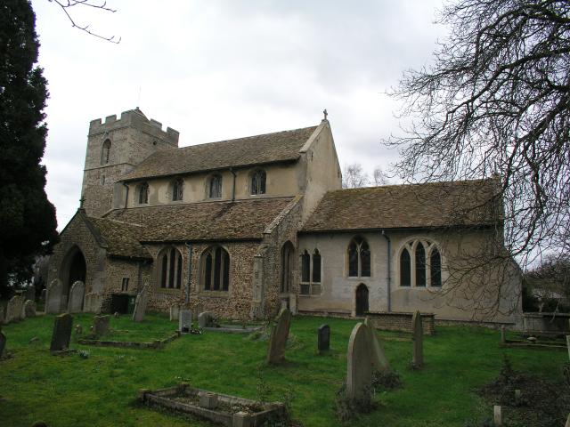
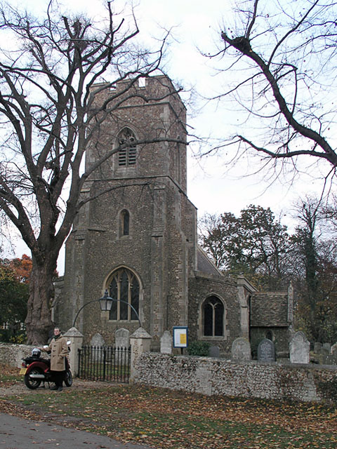
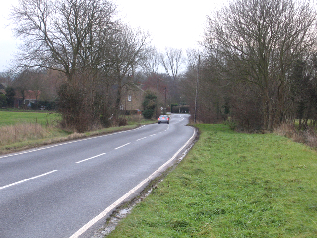
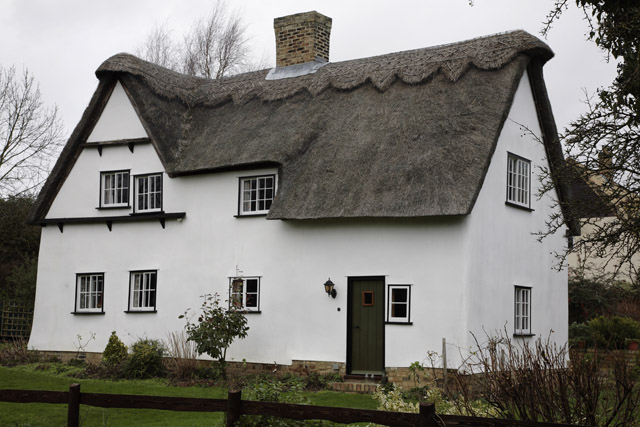
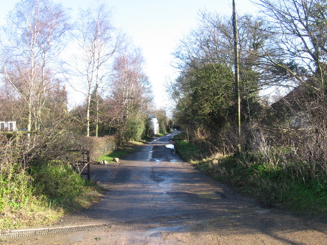
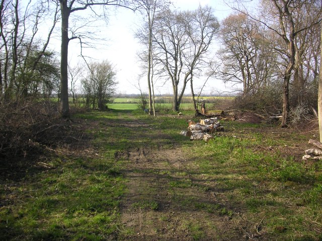
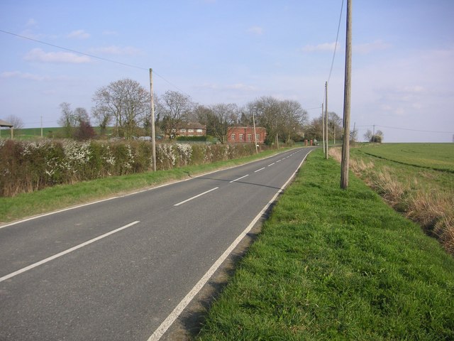
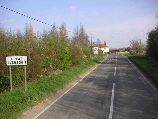
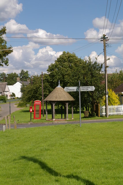
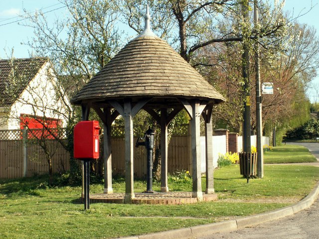
Kingston Images
Images are sourced within 2km of 52.178864/-0.033323444 or Grid Reference TL3455. Thanks to Geograph Open Source API. All images are credited.


Kingston is located at Grid Ref: TL3455 (Lat: 52.178864, Lng: -0.033323444)
Administrative County: Cambridgeshire
District: South Cambridgeshire
Police Authority: Cambridgeshire
What 3 Words
///elections.beaker.brilliant. Near Comberton, Cambridgeshire
Nearby Locations
Related Wikis
Kingston, Cambridgeshire
Kingston is a small village and parish in the East of England region and the county Cambridgeshire in the United Kingdom. Situated 7 miles to the west...
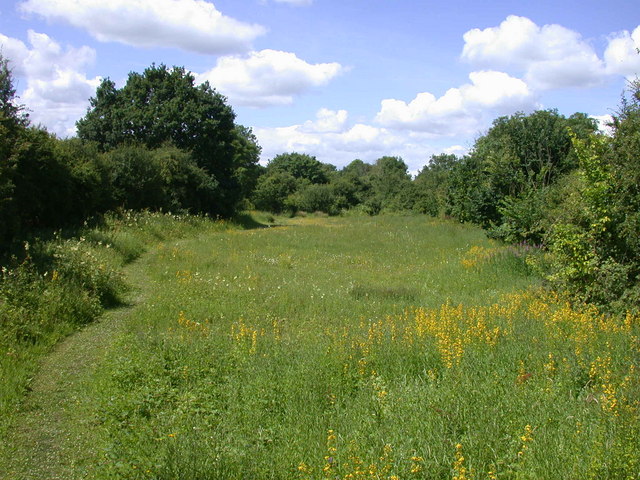
Kingston and Bourn Old Railway
Kingston and Bourn Old Railway or Kingston Amenity Area is a linear 1.9-hectare (4.7-acre) Local Nature Reserve between Kingston and Bourn in Cambridgeshire...
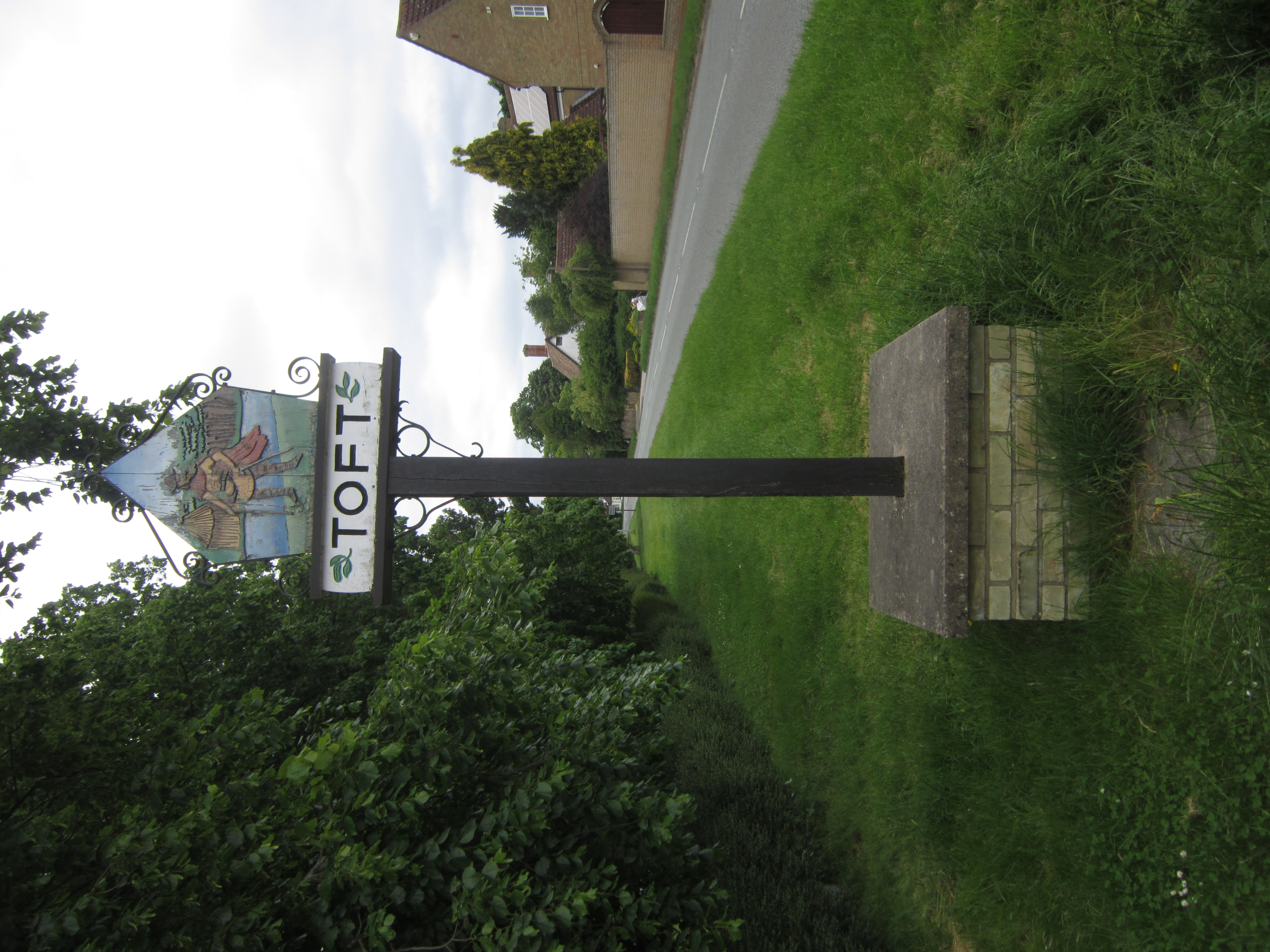
Toft, Cambridgeshire
Toft is a village situated in Cambridgeshire, England. It is approximately six miles to the west of Cambridge, and is situated within four miles of the...

Bourn
Bourn is a small village and civil parish in South Cambridgeshire, England. Surrounding villages include Caxton, Eltisley and Cambourne. It is 8 miles...
Nearby Amenities
Located within 500m of 52.178864,-0.033323444Have you been to Kingston?
Leave your review of Kingston below (or comments, questions and feedback).