Ellis Hill

Hill, Mountain in Yorkshire Ryedale

England

Ellis Hill

Walking towards Low Lions Lodge
Walking towards Low Lions Lodge Credit: Ian S

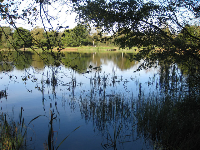
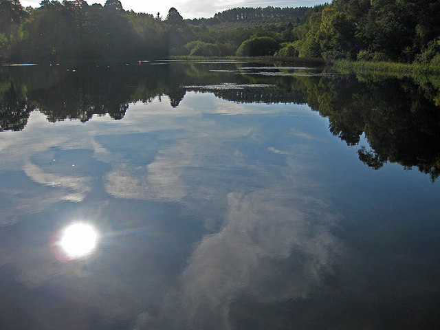
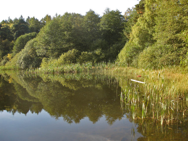
Ellis Hill is a prominent geographical feature located in the county of Yorkshire, England. Situated in the northern part of the region, this hill has gained recognition for its stunning natural beauty and historical significance. Rising to an elevation of approximately 500 meters (1,640 feet), Ellis Hill stands as one of the highest points in the area, offering breathtaking panoramic views of the surrounding landscapes.

Covered in lush greenery, the hill is a haven for nature enthusiasts and hikers alike. Its slopes are adorned with a variety of flora and fauna, including heather, wildflowers, and various species of birds and mammals. The diverse ecosystem on Ellis Hill attracts visitors from far and wide, seeking solace in its tranquil surroundings.

Aside from its natural appeal, Ellis Hill holds historical importance as well. It has been the site of several archaeological discoveries, including Bronze Age burial mounds, Roman artifacts, and remnants of ancient settlements. These findings provide insights into the area's rich cultural heritage and the lives of its past inhabitants.

Accessible through well-maintained footpaths, Ellis Hill offers a range of recreational activities for visitors. Hiking, picnicking, and photography are popular pursuits, allowing individuals to immerse themselves in the beauty of the countryside. Additionally, adventurous souls can indulge in paragliding, as the hill's elevated position provides optimal conditions for this thrilling sport.

Overall, Ellis Hill in Yorkshire is a picturesque destination that seamlessly blends natural splendor and historical significance. Its towering presence, magnificent views, and varied recreational opportunities make it a must-visit location for nature enthusiasts and history buffs alike.

If you have any feedback on the listing, please let us know in the comments section below.
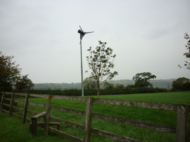
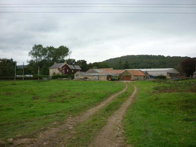
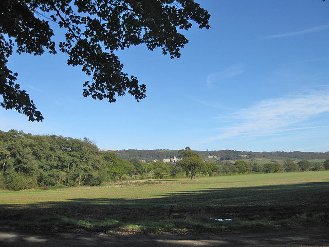
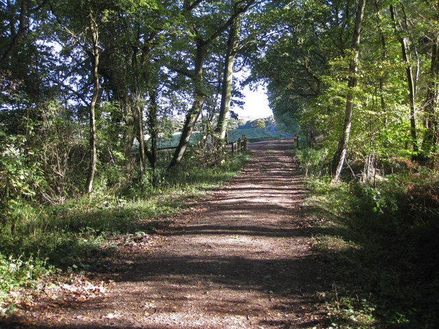
Ellis Hill Images

Images are sourced within 2km of 54.189797/-1.1221396 or Grid Reference SE5777. Thanks to Geograph Open Source API. All images are credited.

Walking towards Low Lions Lodge
A wind turbine at Thorpe Grange
A sign for the Howardian Hill
A path leading to Ampleforth
Wass Grange
Wass Grange
View to Ampleforth Abbey Taken from the path near the lower fish pond.
View to Ampleforth Abbey
Taken from the path near the lower fish pond.
Track near the lower fish pond Heading towards Park House.
Track near the lower fish pond
Heading towards Park House.
Lower Fish Pond A tranquil pond on the Ampleforth Abbey Estate which covers over 2000 acres. The Estate is carefully managed and encompasses grassland, farmland and woodland and is located in an AONB.
Lower Fish Pond
A tranquil pond on the Ampleforth Abbey Estate which covers over 2000 acres. The Estate is carefully managed and encompasses grassland, farmland and woodland and is located in an AONB.
Lower Fish Pond A tranquil pond on the Ampleforth Abbey Estate which covers over 2000 acres. The Estate is carefully managed and encompasses grassland, farmland and woodland and is located in an AONB. The Higher Fish Ponds lie to the Southeast in Park Wood.
Lower Fish Pond
A tranquil pond on the Ampleforth Abbey Estate which covers over 2000 acres. The Estate is carefully managed and encompasses grassland, farmland and woodland and is located in an AONB. The Higher Fish Ponds lie to the Southeast in Park Wood.
Reedbed in the Lower Fish Pond A tranquil pond on the Ampleforth Abbey Estate which covers over 2000 acres. The Estate is carefully managed and encompasses grassland, farmland and woodland and is located in an AONB.
Reedbed in the Lower Fish Pond
A tranquil pond on the Ampleforth Abbey Estate which covers over 2000 acres. The Estate is carefully managed and encompasses grassland, farmland and woodland and is located in an AONB.
Road to Redcar House This is nearing the end of the metalled road as it passes to the north of the Lower Fish Pond.
Road to Redcar House
This is nearing the end of the metalled road as it passes to the north of the Lower Fish Pond.
Winter wheat and a line of oaks 20th October and the leaves on the oaks are still a deep green.
Winter wheat and a line of oaks
20th October and the leaves on the oaks are still a deep green.
Oak in arable field The odd tinge of autumn colour can be seen on the trees in the distance but this oak is still in deep green foliage.
Oak in arable field
The odd tinge of autumn colour can be seen on the trees in the distance but this oak is still in deep green foliage.
View to Ampleforth Abbey The abbey and college are beautifully situated in the Howardian Hills. The Ampleforth Abbey Estate covers over 2000 acres and encompasses grassland, farmland and woodland and is located in an AONB.
View to Ampleforth Abbey
The abbey and college are beautifully situated in the Howardian Hills. The Ampleforth Abbey Estate covers over 2000 acres and encompasses grassland, farmland and woodland and is located in an AONB.
Approaching the dismantled railway line Cattle like to gather in the corner of the field ahead churning up the footpath into a bog.
Approaching the dismantled railway line
Cattle like to gather in the corner of the field ahead churning up the footpath into a bog.
Dismantled railway A choice of routes from this point: to Ampleforth, Yearsley & Gilling East or Colley Broach Road via Redcar House.
Dismantled railway
A choice of routes from this point: to Ampleforth, Yearsley & Gilling East or Colley Broach Road via Redcar House.
View to the village of Ampleforth The view is over Holbeck which is hidden in the foreground by the vegetation.
View to the village of Ampleforth
The view is over Holbeck which is hidden in the foreground by the vegetation.
Field headland by winter wheat crop The headland is following the course of Holbeck.
Field headland by winter wheat crop
The headland is following the course of Holbeck.
Show me another place!

Ellis Hill is located at Grid Ref: SE5777 (Lat: 54.189797, Lng: -1.1221396)

Division: North Riding

Administrative County: North Yorkshire

District: Ryedale

Police Authority: North Yorkshire

What 3 Words

///match.eminent.listen. Near Helmsley, North Yorkshire

Nearby Locations

Ellis Hill

Related Wikis

Ampleforth railway station

Ampleforth railway station, served the village of Ampleforth, in the Northern English county of North Yorkshire. It was located on a line which ran from...

Ampleforth

Ampleforth is a village and civil parish in North Yorkshire, England, 20 miles (32 km) north of York. The village is situated on the edge of the North...

Newburgh, North Yorkshire

Newburgh is a village and civil parish located in the Hambleton district of North Yorkshire, England. The population at the 2011 Census was less than 100...

Stanbrook Abbey

Stanbrook Abbey is a Catholic contemplative Benedictine Monastery with the status of an abbey, located at Wass, North Yorkshire, England. The community...

Wass, North Yorkshire

Wass is a village in the civil parish of Byland with Wass, in North Yorkshire, England, in the North York Moors National Park. A short distance from the...

Ampleforth Abbey

Ampleforth Abbey is a monastery of Benedictine monks a mile to the east of Ampleforth, North Yorkshire, England, part of the English Benedictine Congregation...

Byland with Wass

Byland with Wass is a civil parish in the Ryedale district of North Yorkshire, England. According to the 2001 census it had a population of 120, increasing...

Ampleforth College

Ampleforth College is a co-educational fee-charging boarding and day school in the English public school tradition. It opened in 1802 as a boys' school...

Nearby Amenities

Located within 500m of 54.189797,-1.1221396
Barrier: kissing_gate
Lat/Long: 54.1936196/-1.1186497
Direction North: Ampleforth
Guide Type: destination
Guidepost Type: PROW
Information: guidepost
Tourism: information
Lat/Long: 54.1925291/-1.1191955
Description: Odd looking goat/sheep/human statue;
Tourism: artwork
Lat/Long: 54.1936974/-1.1185034
Barrier: kissing_gate
Lat/Long: 54.192543/-1.1191593
Passing Place
Lat/Long: 54.1910768/-1.1217745
The data included in this document is from www.openstreetmap.org. The data is made available under ODbL.

Have you been to Ellis Hill?

Leave your review of Ellis Hill below (or comments, questions and feedback).