Street Hill
Hill, Mountain in Oxfordshire Cherwell
England
Street Hill

Street Hill is a small hill located in the county of Oxfordshire, England. Situated in the picturesque countryside, it is part of the larger Chiltern Hills range. This hill offers a scenic and tranquil spot for nature enthusiasts and hikers alike.
At an elevation of approximately 200 meters (656 feet), Street Hill provides panoramic views of the surrounding area, including the nearby villages of Aston Rowant and Lewknor. The hill is covered in lush greenery, with patches of woodland and open fields adding to its charm.
The area surrounding Street Hill is known for its diverse flora and fauna. Visitors may encounter various species of birds, insects, and small mammals, making it an ideal location for birdwatching and wildlife spotting.
Several footpaths and bridleways crisscross the hill, allowing visitors to explore its beauty while enjoying a leisurely walk or a more challenging hike. These pathways also connect Street Hill to neighboring villages, offering opportunities for longer excursions.
Street Hill is easily accessible by road, with parking available nearby. The hill is a popular destination for locals and tourists looking to escape the hustle and bustle of city life and immerse themselves in the tranquility of the countryside.
Overall, Street Hill in Oxfordshire is a charming and idyllic spot, providing breathtaking views, diverse wildlife, and ample opportunities for outdoor exploration.
If you have any feedback on the listing, please let us know in the comments section below.
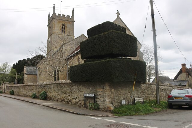
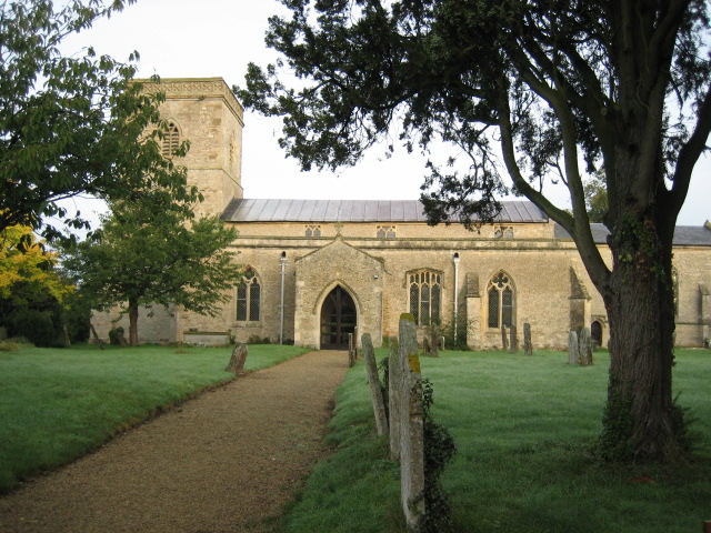
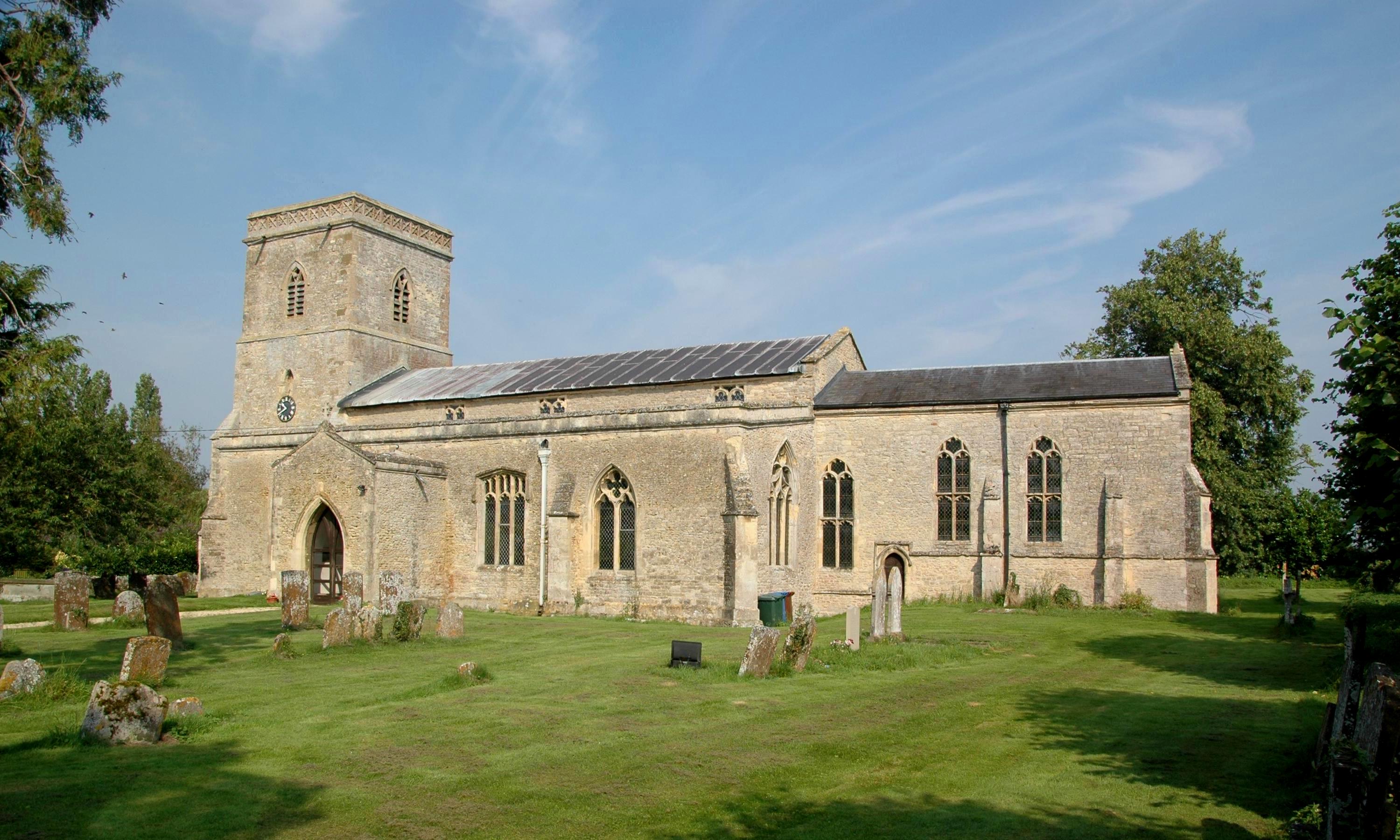
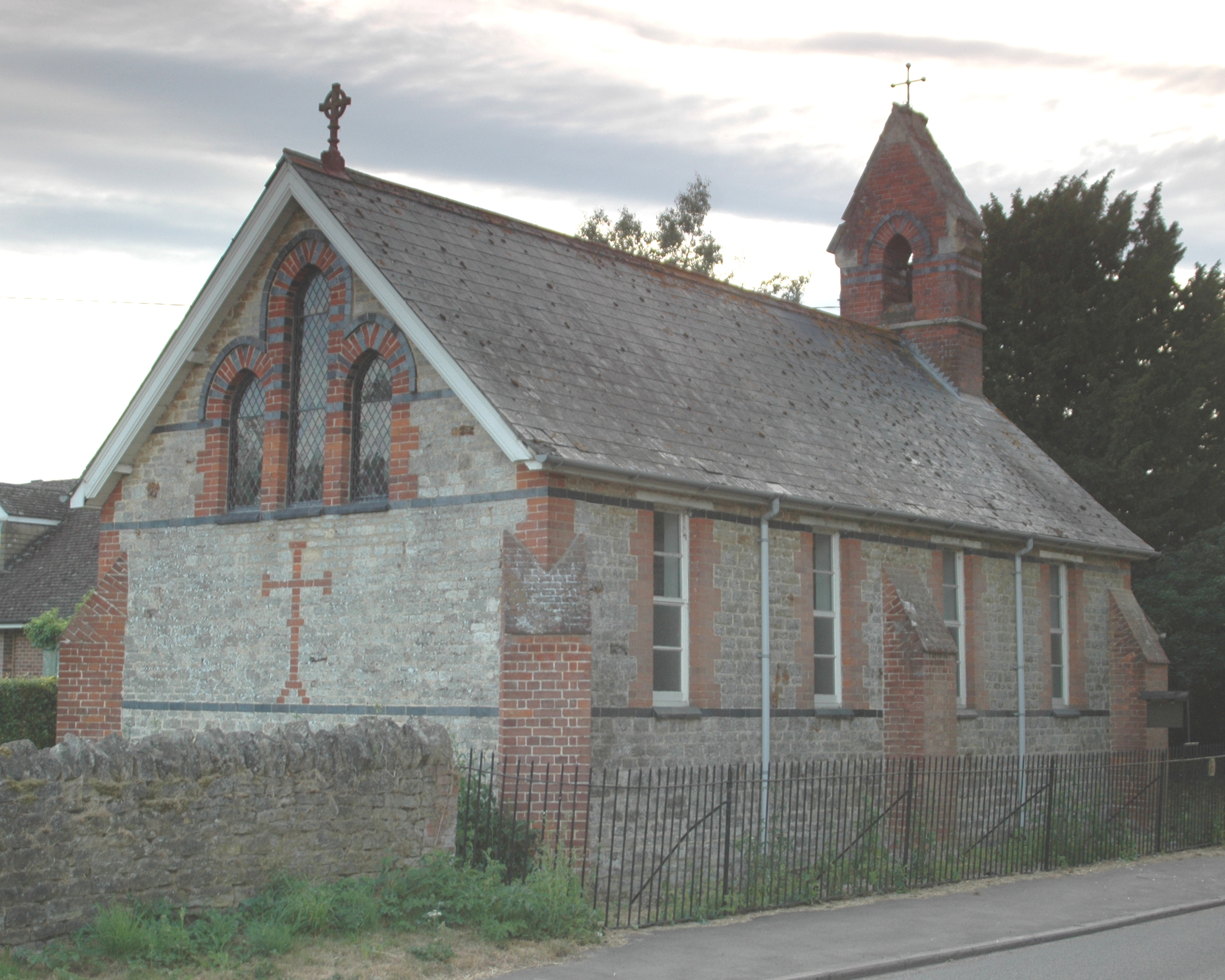
Street Hill Images
Images are sourced within 2km of 51.846847/-1.1707139 or Grid Reference SP5716. Thanks to Geograph Open Source API. All images are credited.


Street Hill is located at Grid Ref: SP5716 (Lat: 51.846847, Lng: -1.1707139)
Administrative County: Oxfordshire
District: Cherwell
Police Authority: Thames Valley
What 3 Words
///bright.serve.whistling. Near Ambrosden, Oxfordshire
Nearby Locations
Related Wikis

Fencott
Fencott is a hamlet between the River Ray and Otmoor in the civil parish of Fencott and Murcott, about 4 miles (6.4 km) south of Bicester in Oxfordshire...
Merton, Oxfordshire
Merton is a village and civil parish near the River Ray, about 4 miles (6.4 km) south of Bicester in Oxfordshire, England. The 2011 Census recorded the...

Charlton-on-Otmoor
Charlton-on-Otmoor is a village and civil parish about 9 miles (14 km) NE of Oxford and 6 miles (10 km) SW of Bicester in Oxfordshire, England. The village...

Wendlebury Meads and Mansmoor Closes
Wendlebury Meads and Mansmoor Closes is a 73.2-hectare (181-acre) biological Site of Special Scientific Interest south of Wendlebury in Oxfordshire.Wendlebury...

Alice's Meadow
Alice's Meadow is the name given to a small field in the Oxfordshire parish of Fencott and Murcott, England. It became the focus of a campaign by local...

Fencott and Murcott
Fencott and Murcott is a civil parish about 4 miles (6 km) south of Bicester in the Cherwell district of Oxfordshire, England. The parish is bounded on...
Murcott, Oxfordshire
Murcott is a village between the River Ray and Otmoor in the civil parish of Fencott and Murcott, about 4 miles (6.4 km) south of Bicester in Oxfordshire...
Charlton Halt railway station (Oxfordshire)
Charlton Halt was a railway station on the Varsity Line 1 mile (1.6 km) north of the village of Charlton-on-Otmoor. The London and North Western Railway...
Nearby Amenities
Located within 500m of 51.846847,-1.1707139Have you been to Street Hill?
Leave your review of Street Hill below (or comments, questions and feedback).