Barfs Hill
Hill, Mountain in Yorkshire Hambleton
England
Barfs Hill
Barfs Hill is a prominent hill located in the county of Yorkshire, England. Situated in the western part of the county, it lies within the beautiful Yorkshire Dales National Park. With an elevation of approximately 450 meters (1475 feet), it is considered a notable landmark in the region.
The hill boasts stunning panoramic views of the surrounding countryside, making it a popular destination for hikers, nature enthusiasts, and photographers. Its location within the Yorkshire Dales provides visitors with a unique opportunity to explore the diverse flora and fauna of the area.
Barfs Hill is known for its distinctive shape, featuring a gently sloping ascent followed by a steeper summit. The terrain is primarily composed of grassy slopes, which are ideal for leisurely walks and picnics during the warmer months.
The hill's name, "Barfs," is said to have originated from Old Norse, meaning "bare hill." This name is fitting, as the upper regions of the hill are often devoid of trees, offering unobstructed views of the surrounding landscape.
Visitors to Barfs Hill can access it via well-marked footpaths and trails, with many starting their journey from nearby villages such as Grassington or Kettlewell. The hill's accessibility, coupled with its natural beauty, makes it a popular attraction for both locals and tourists alike.
Barfs Hill is not only a scenic spot but also holds historical significance, with evidence of ancient settlements and archaeological sites in the surrounding area. It stands as a testament to the rich cultural and natural heritage of Yorkshire and continues to draw visitors seeking a memorable experience in the heart of the Yorkshire Dales.
If you have any feedback on the listing, please let us know in the comments section below.
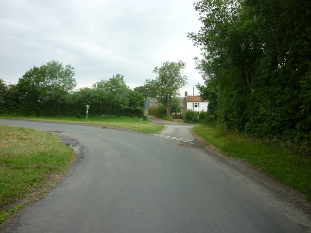
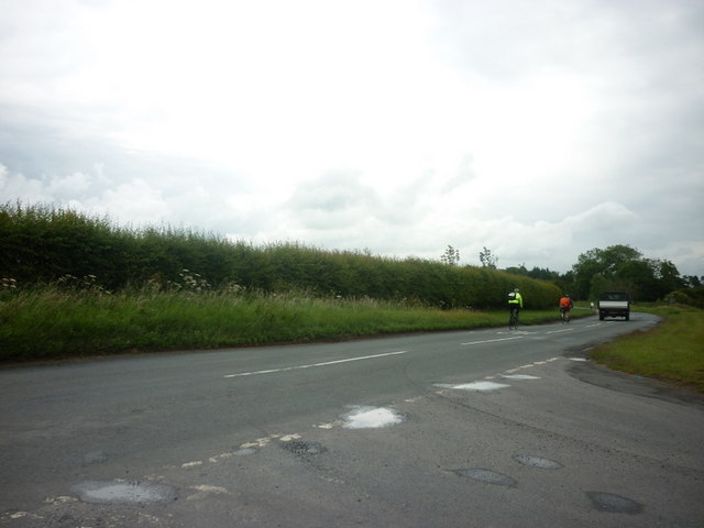
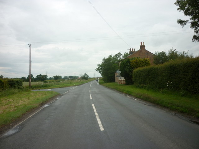
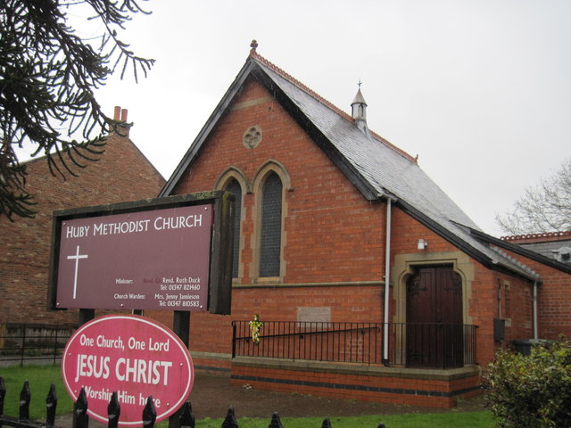
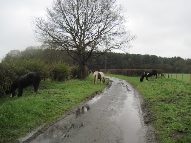
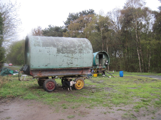
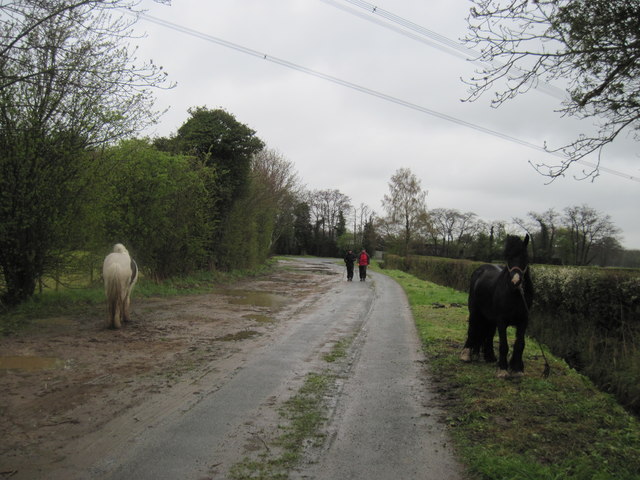
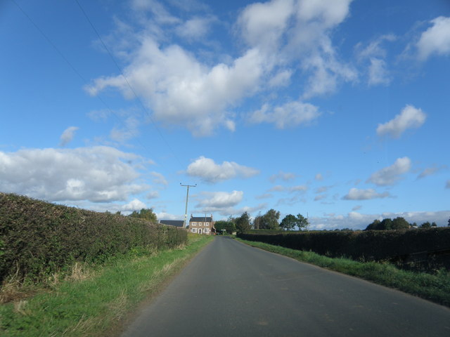
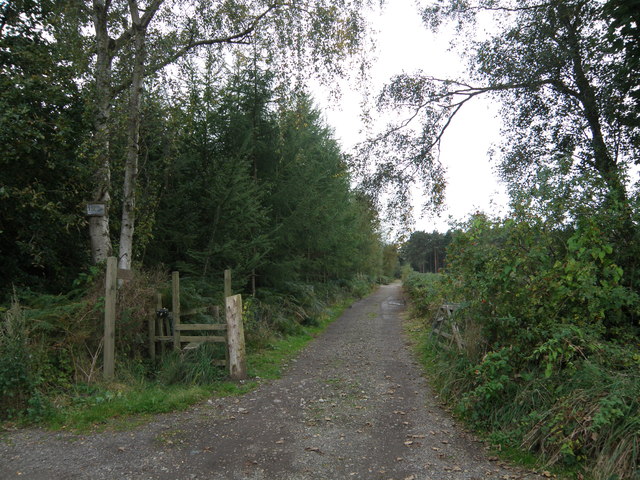
Barfs Hill Images
Images are sourced within 2km of 54.090663/-1.1423506 or Grid Reference SE5666. Thanks to Geograph Open Source API. All images are credited.


Barfs Hill is located at Grid Ref: SE5666 (Lat: 54.090663, Lng: -1.1423506)
Division: North Riding
Administrative County: North Yorkshire
District: Hambleton
Police Authority: North Yorkshire
What 3 Words
///fault.ladders.truckload. Near Easingwold, North Yorkshire
Nearby Locations
Related Wikis

Huby, Hambleton
Huby is a village and civil parish in the Hambleton District of North Yorkshire, England, about nine and a half miles north of York and five miles south...

Raskelf
Raskelf is a village and civil parish in North Yorkshire, England. The electoral roll has a population of around 400 measured at 519 in the 2011 census...

Stillington, North Yorkshire
Stillington is a village and civil parish in the district and county of North Yorkshire, England. It lies on the York to Helmsley road about 10 miles...

Emergency Planning College
The Emergency Planning College also known as "the Hawkhills" foremost a college, based in the United Kingdom which is involved in activities to promote...
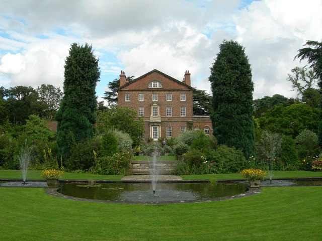
Sutton Park, North Yorkshire
Sutton Park is an 18th-century Georgian English country house situated on the edge of the village of Sutton-on-the-Forest, North Yorkshire. It is approximately...

Sutton-on-the-Forest
Sutton-on-the-Forest is a village and civil parish in North Yorkshire, England. It is 8 miles (13 km) north of York and 4.4 miles (7 km) south-east of...

Vale of York (UK Parliament constituency)
Vale of York was a county constituency represented in the House of Commons of the Parliament of the United Kingdom. It elected one Member of Parliament...
Moxby Priory
Moxby Priory is the commonly used name of the former Augustinian nunnery of S. John the Apostle in today's parish of Marton-cum-Moxby, North Yorkshire...
Nearby Amenities
Located within 500m of 54.090663,-1.1423506Have you been to Barfs Hill?
Leave your review of Barfs Hill below (or comments, questions and feedback).